2000s (21st Century) Maps of Tate Township, Ohio
Explore 20 historic maps of Tate Township from the 2000s (21st Century). These maps offer a rare glimpse into what life looked like during the 2000s — showing old roads, neighborhoods, homes, and landmarks that have changed or disappeared over time.
Whether you're researching your family's past, planning a metal detecting trip, or studying how Tate Township's landscape evolved across the 2000s, these high-resolution maps are a powerful tool for exploring the history of this region.
- Focus on a specific era: All maps on this page are from the 2000s, giving you a focused view of this time period.
- See what’s changed: Compare century-old streets, trails, and buildings to today's modern landscape using overlays and satellite layers.
- Research with precision: Use these maps for genealogy, historical research, land use analysis, or educational projects.
- View, download, or print: Maps are fully viewable online in high resolution, and can be downloaded or printed for your own records.
Start exploring Tate Township's history through authentic maps from the 2000s. This is your window into the past.
Tate Township, OH maps
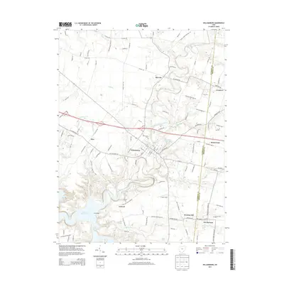
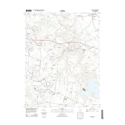
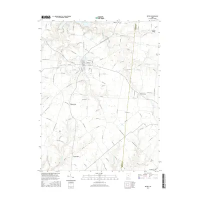
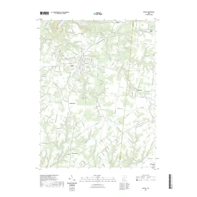
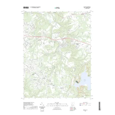
(20)- 2010 Map of Bethel, 2010 Print
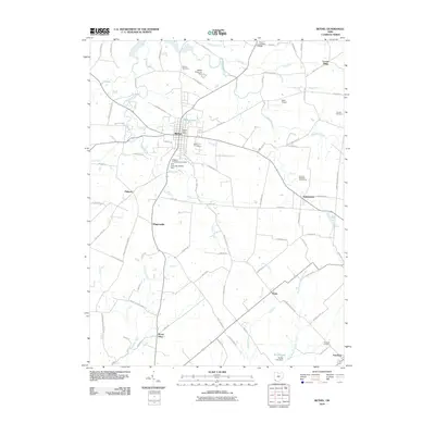 2010 Bethel2010 Print · USGSCovers Tate Township, including Bethel, Yankeetown, and other nearby areas
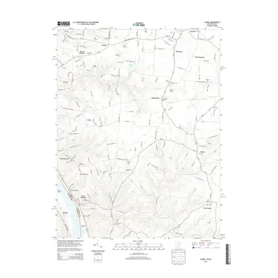
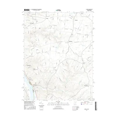
 - 2010 Map of Laurel, 2010 Print
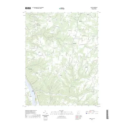
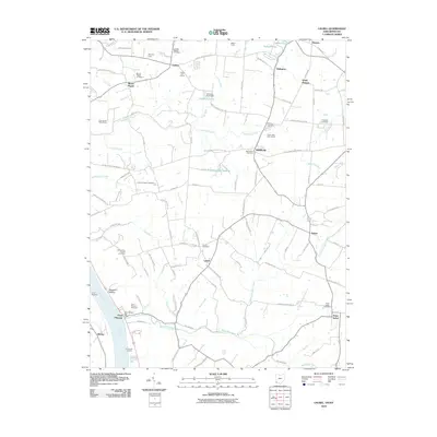 2010 Laurel2010 Print · USGSCovers Tate Township, including Mentor, Pierce Township, and other nearby areas
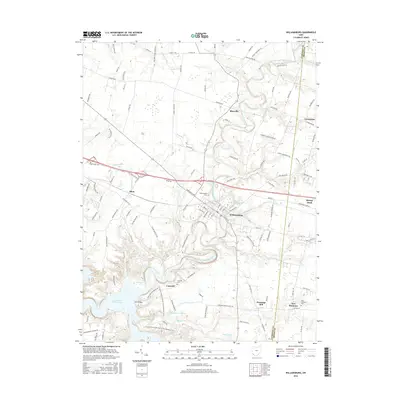
 - 2010 Map of Williamsburg, 2010 Print
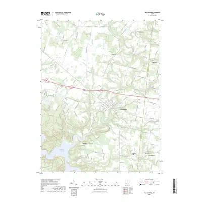
 2010 Williamsburg2010 Print · USGSCovers Tate Township, including Stonelick Township, Williamsburg, and other nearby areas
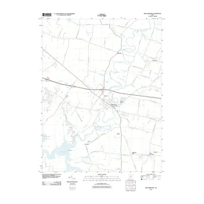
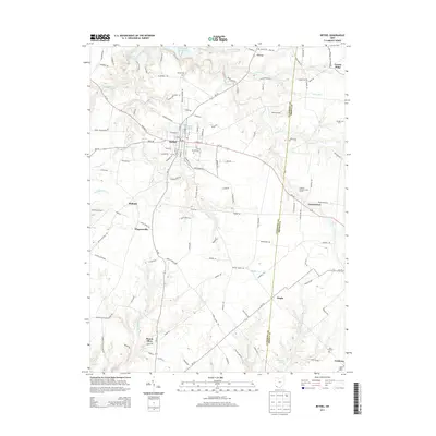
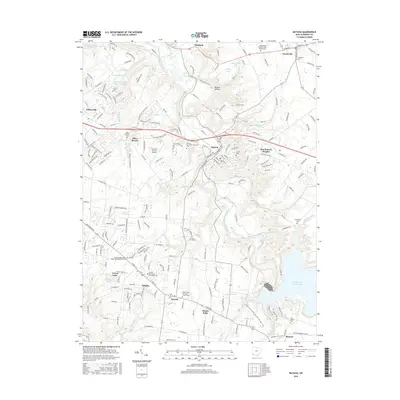
 - 2010 Map of Batavia, 2010 Print
 2010 Batavia2010 Print · USGSCovers Tate Township, including Stonelick Township, Amelia, and other nearby areas
 - 2013 Map of Williamsburg, 2013 Print
 2013 Williamsburg2013 Print · USGSCovers Tate Township, including Stonelick Township, Williamsburg, and other nearby areas
 - 2013 Map of Batavia, 2013 Print
 2013 Batavia2013 Print · USGSCovers Tate Township, including Stonelick Township, Amelia, and other nearby areas
 - 2013 Map of Laurel, 2013 Print
 2013 Laurel2013 Print · USGSCovers Tate Township, including Mentor, Pierce Township, and other nearby areas
 - 2013 Map of Bethel, 2013 Print
 2013 Bethel2013 Print · USGSCovers Tate Township, including Bethel, Yankeetown, and other nearby areas
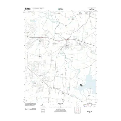
 - 2016 Map of Bethel, 2016 Print
 2016 Bethel2016 Print · USGSCovers Tate Township, including Bethel, Yankeetown, and other nearby areas
 - 2016 Map of Laurel, 2016 Print
 2016 Laurel2016 Print · USGSCovers Tate Township, including Mentor, Pierce Township, and other nearby areas
 - 2016 Map of Williamsburg, 2016 Print
 2016 Williamsburg2016 Print · USGSCovers Tate Township, including Stonelick Township, Williamsburg, and other nearby areas
 - 2016 Map of Batavia, 2016 Print
 2016 Batavia2016 Print · USGSCovers Tate Township, including Stonelick Township, Amelia, and other nearby areas
 - 2019 Map of Laurel, 2019 Print
 2019 Laurel2019 Print · USGSCovers Tate Township, including Mentor, Pierce Township, and other nearby areas
 - 2019 Map of Bethel, 2019 Print
 2019 Bethel2019 Print · USGSCovers Tate Township, including Bethel, Yankeetown, and other nearby areas
 - 2019 Map of Williamsburg, 2019 Print
 2019 Williamsburg2019 Print · USGSCovers Tate Township, including Stonelick Township, Williamsburg, and other nearby areas
 - 2019 Map of Batavia, 2019 Print
 2019 Batavia2019 Print · USGSCovers Tate Township, including Stonelick Township, Amelia, and other nearby areas
 - 2023 Map of Bethel, 2023 Print
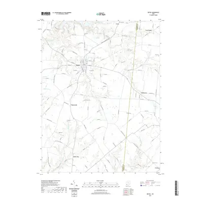
 2023 Bethel2023 Print · USGSClermont County's rural crossroads and small-town centers are shown here in the contemporary era. Researchers can trace family sites at Clover Cemetery or follow the water towards Feesburg and the Big Indian Creek valley.
 - 2023 Map of Batavia, 2023 Print
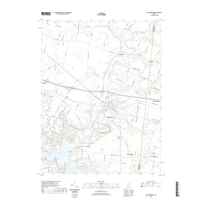
 2023 Batavia2023 Print · USGSClermont County in the early 2020s shows a landscape of established civic hubs and modern institutions. Genealogists can trace family names at the Old Bethel Cem and Amelia Methodist Episcopal Cem, or locate landmarks like the Clermont County Airport.
 - 2023 Map of Williamsburg, 2023 Print
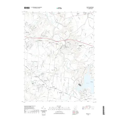
 2023 Williamsburg2023 Print · USGSThe East Fork Little Miami River valley in Clermont County shows a landscape of rural crossroads and river-fed lakes in the 2020s. Researchers can locate burial sites like New Harmony Cem and historic landmarks such as Hennings Mill and the Old Boston Airport.
 - 2023 Map of Laurel, 2023 Print
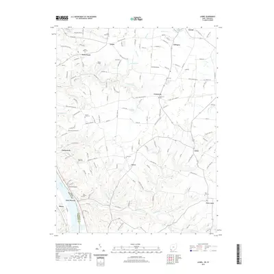
 2023 Laurel2023 Print · USGSThe Ohio River shoreline and the winding creek valleys of Clermont County define this rural landscape during the early twenty-first century. Genealogists and local historians can locate numerous small burial grounds and parish sites, including Franklin Chapel Cem, Lindale Baptist Cem, and Point Isabel Cem.
End of results
Showing maps 1-20 of 20
Top cities near Tate Township
- Milford historical maps
- Stonelick Township historical maps
- Indian Hill historical maps
- Amelia historical maps
- Georgetown historical maps
- Mount Orab historical maps
See more
Top neighborhoods of Tate Township
- Bantam historical maps
- Saltair historical maps
- Wiggonsville historical maps
- Pinhook historical maps
- South Bantam historical maps
- Bethel historical maps
Frequently asked questions
- What are the different types of historical maps available for Tate Township?
- What is the oldest map of Tate Township?
- Where can I purchase historical maps of Tate Township for my home or office?
- Where can I download high-res historical maps of Tate Township?
- Are there historical topographic maps available for Tate Township?
- Is there historical aerial imagery available for Tate Township?
- Where are historical maps of Tate Township sourced from?