2020s Maps of Wayne Township, Ohio
Explore 5 historic maps of Wayne Township from the 2020s. These maps offer a rare glimpse into what life looked like during the 2020s — showing old roads, neighborhoods, homes, and landmarks that have changed or disappeared over time.
Whether you're researching your family's past, planning a metal detecting trip, or studying how Wayne Township's landscape evolved across the 2020s, these high-resolution maps are a powerful tool for exploring the history of this region.
- Focus on a specific era: All maps on this page are from the 2020s, giving you a focused view of this time period.
- See what’s changed: Compare century-old streets, trails, and buildings to today's modern landscape using overlays and satellite layers.
- Research with precision: Use these maps for genealogy, historical research, land use analysis, or educational projects.
- View, download, or print: Maps are fully viewable online in high resolution, and can be downloaded or printed for your own records.
Start exploring Wayne Township's history through authentic maps from the 2020s. This is your window into the past.
Wayne Township, OH maps
(5)- 2023 Map of Blanchester, 2023 Print
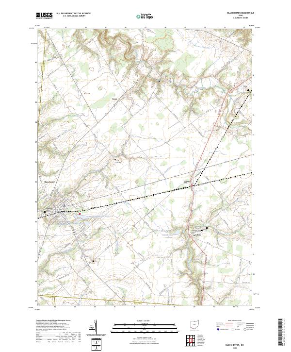 2023 Blanchester2023 Print · USGSClinton County’s rural character and small-town rail hubs are preserved here in the modern era. Genealogists and historians can trace family plots at Moore-Johns Cem or explore the civic roots of Blanchester and the crossroads at Midland.
 - 2023 Map of Fayetteville, 2023 Print
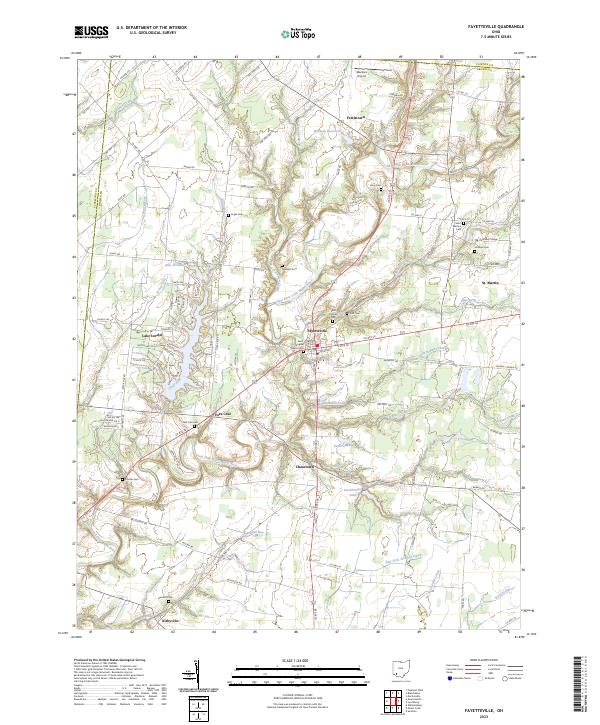 2023 Fayetteville2023 Print · USGSBrown County's rural landscape is captured here in the 2020s, centered on the historic crossroads of Fayetteville and the winding East Fork Little Miami River. Genealogists can trace family names at Ursuline Cem, Engle Cem, and the institutional grounds of Chatfield College.
 - 2023 Map of Pleasant Plain, 2023 Print
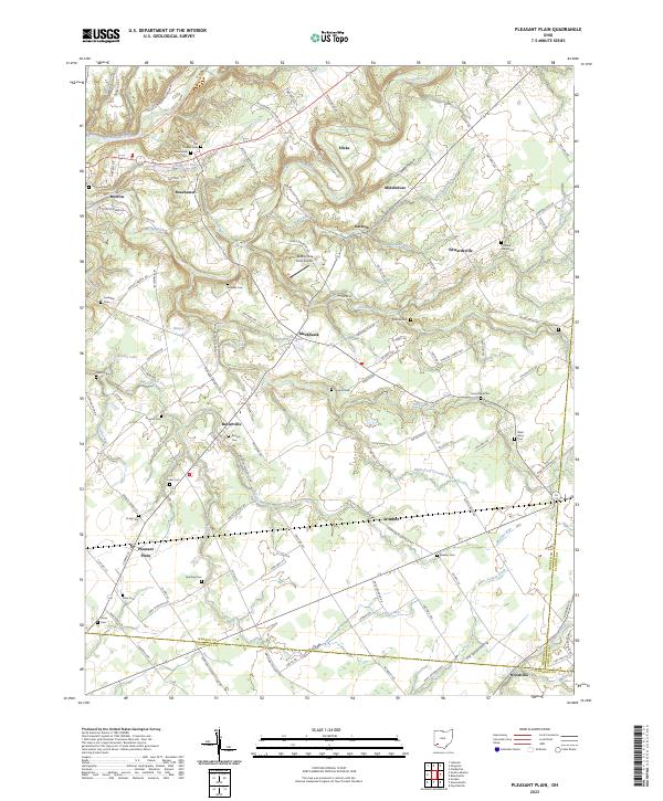 2023 Pleasant Plain2023 Print · USGSWarren County’s agrarian landscape is captured here in the early twenty-first century, spanning from the Little Miami River to the Clermont Co border. Genealogists can locate numerous rural burial sites including Runyan Cem, New Hope Cem, and Keller Cem.
 - 2023 Map of Newtonsville, 2023 Print
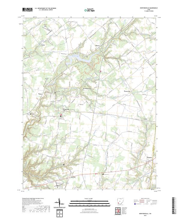 2023 Newtonsville2023 Print · USGSClermont County in the early twenty-first century remains a landscape of historic crossroads like Newtonsville and Edenton. Genealogists can locate several family and community burial grounds including Brick Chapel Cem and Monterey Cem, or trace the winding course of Stonelick Creek.
 - 2023 Map of Goshen, 2023 Print
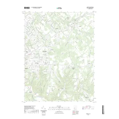 2023 Goshen2023 Print · USGSClermont County's transition from rural farmland to residential communities is on display in this contemporary study of the Goshen area. Genealogists and local historians can trace burial sites from Goshen Cem to Olive Cem and the heights of Galley Hill.
End of results
Showing maps 1-5 of 5
Top cities near Wayne Township
- Mason historical maps
- Lebanon historical maps
- Loveland historical maps
- Wilmington historical maps
- Milford historical maps
- Stonelick Township historical maps
See more
Top neighborhoods of Wayne Township
- Edenton historical maps
- Modest historical maps
- Woodville historical maps
- Moores Fork historical maps
- Woodland Park historical maps
- Newtonsville historical maps
Frequently asked questions
- What are the different types of historical maps available for Wayne Township?
- What is the oldest map of Wayne Township?
- Where can I purchase historical maps of Wayne Township for my home or office?
- Where can I download high-res historical maps of Wayne Township?
- Are there historical topographic maps available for Wayne Township?
- Is there historical aerial imagery available for Wayne Township?
- Where are historical maps of Wayne Township sourced from?