2000s (21st Century) Maps of Bloom Township, Ohio
Explore 20 historic maps of Bloom Township from the 2000s (21st Century). These maps offer a rare glimpse into what life looked like during the 2000s — showing old roads, neighborhoods, homes, and landmarks that have changed or disappeared over time.
Whether you're researching your family's past, planning a metal detecting trip, or studying how Bloom Township's landscape evolved across the 2000s, these high-resolution maps are a powerful tool for exploring the history of this region.
- Focus on a specific era: All maps on this page are from the 2000s, giving you a focused view of this time period.
- See what’s changed: Compare century-old streets, trails, and buildings to today's modern landscape using overlays and satellite layers.
- Research with precision: Use these maps for genealogy, historical research, land use analysis, or educational projects.
- View, download, or print: Maps are fully viewable online in high resolution, and can be downloaded or printed for your own records.
Start exploring Bloom Township's history through authentic maps from the 2000s. This is your window into the past.
Bloom Township, OH maps
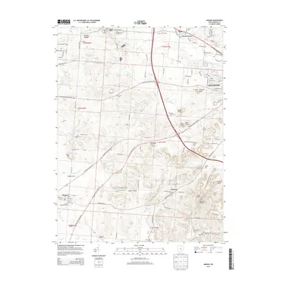
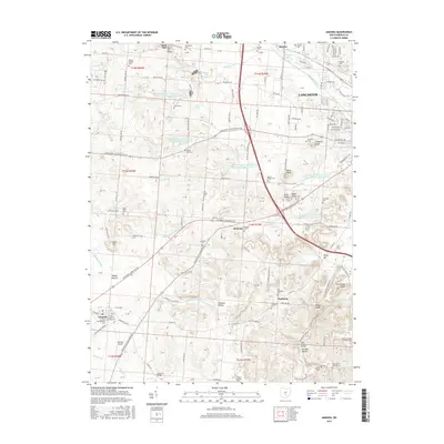
(20)- 2010 Map of Amanda, 2010 Print
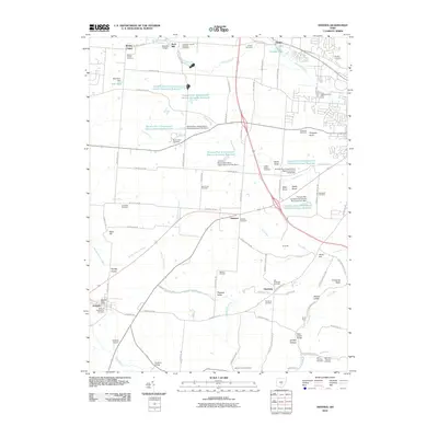 2010 Amanda2010 Print · USGSCovers Bloom Township, including Lancaster, Amanda, and other nearby areas
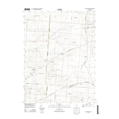
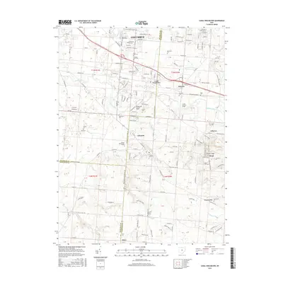
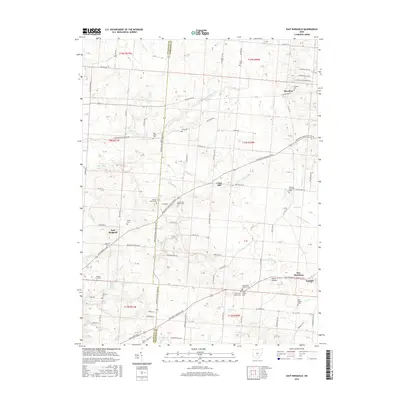
 - 2010 Map of East Ringgold, 2010 Print
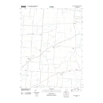 2010 East Ringgold2010 Print · USGSCovers Bloom Township, including Walnut, Amanda, and other nearby areas
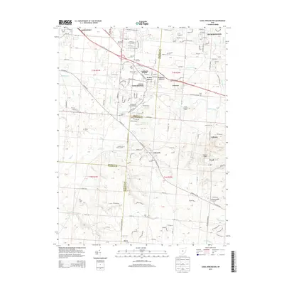
 - 2010 Map of Canal Winchester, 2010 Print
 2010 Canal Winchester2010 Print · USGSCovers Bloom Township, including Columbus, Pickerington, and other nearby areas
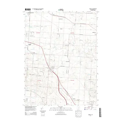
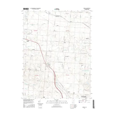
 - 2010 Map of Carroll, 2010 Print
 2010 Carroll2010 Print · USGSCovers Bloom Township, including Lancaster, Pickerington, and other nearby areas
 - 2013 Map of Amanda, 2013 Print
 2013 Amanda2013 Print · USGSCovers Bloom Township, including Lancaster, Amanda, and other nearby areas
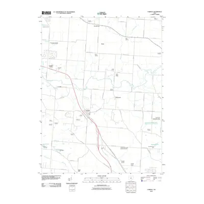
 - 2013 Map of Carroll, 2013 Print
 2013 Carroll2013 Print · USGSCovers Bloom Township, including Lancaster, Pickerington, and other nearby areas
 - 2013 Map of East Ringgold, 2013 Print
 2013 East Ringgold2013 Print · USGSCovers Bloom Township, including Walnut, Amanda, and other nearby areas
 - 2013 Map of Canal Winchester, 2013 Print
 2013 Canal Winchester2013 Print · USGSCovers Bloom Township, including Columbus, Pickerington, and other nearby areas
 - 2016 Map of Amanda, 2016 Print
 2016 Amanda2016 Print · USGSCovers Bloom Township, including Lancaster, Amanda, and other nearby areas
 - 2016 Map of Canal Winchester, 2016 Print
 2016 Canal Winchester2016 Print · USGSCovers Bloom Township, including Columbus, Pickerington, and other nearby areas
 - 2016 Map of Carroll, 2016 Print
 2016 Carroll2016 Print · USGSCovers Bloom Township, including Lancaster, Pickerington, and other nearby areas
 - 2016 Map of East Ringgold, 2016 Print
 2016 East Ringgold2016 Print · USGSCovers Bloom Township, including Walnut, Amanda, and other nearby areas
 - 2019 Map of Canal Winchester, 2019 Print
 2019 Canal Winchester2019 Print · USGSCovers Bloom Township, including Columbus, Pickerington, and other nearby areas
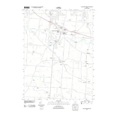
 - 2019 Map of Amanda, 2019 Print
 2019 Amanda2019 Print · USGSCovers Bloom Township, including Lancaster, Amanda, and other nearby areas
 - 2019 Map of Carroll, 2019 Print
 2019 Carroll2019 Print · USGSCovers Bloom Township, including Lancaster, Pickerington, and other nearby areas
 - 2019 Map of East Ringgold, 2019 Print
 2019 East Ringgold2019 Print · USGSCovers Bloom Township, including Walnut, Amanda, and other nearby areas
 - 2023 Map of Amanda, 2023 Print
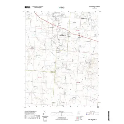
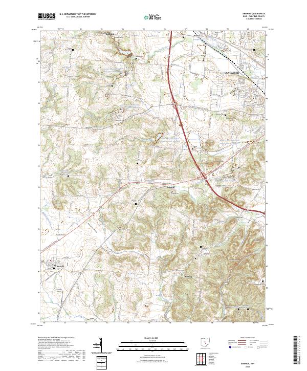 2023 Amanda2023 Print · USGSFairfield County's diverse landscape is documented here in the early twenty-first century, from the plains of Amanda to the high knobs east of the Hocking River. Researchers can locate numerous historical burial grounds and landmarks like Rock Mill, Jacobs Ladder, and the Old Methodist Cem.
 - 2023 Map of Carroll, 2023 Print
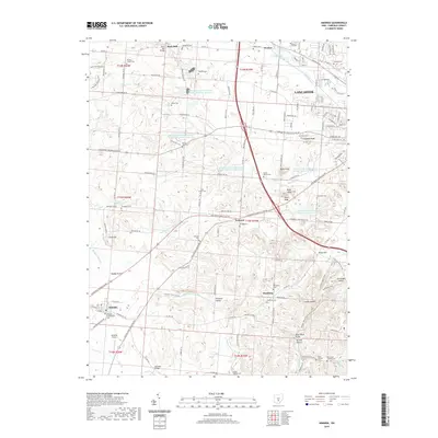
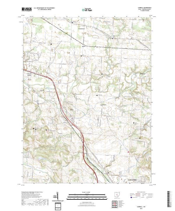 2023 Carroll2023 Print · USGSFairfield County, Ohio, is captured here in its modern state, showing a landscape defined by historic crossroads and family cemeteries. Genealogists and local researchers can trace legacy sites like Brandt Middletown Cem, the old tracks near Lockville Station, and the rural layout of Stoudertown.
 - 2023 Map of East Ringgold, 2023 Print
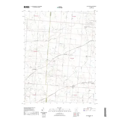
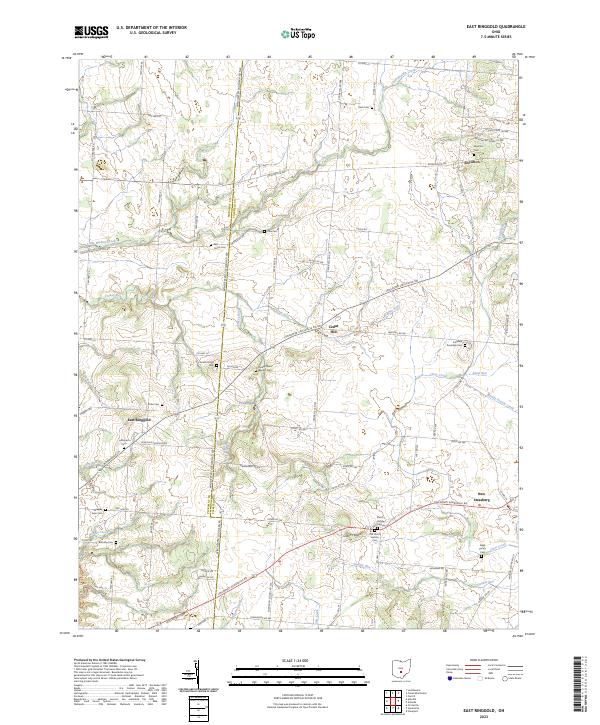 2023 East Ringgold2023 Print · USGSThe Pickaway and Fairfield county borderlands are shown here in modern detail, preserving the layout of historic crossroads and farmsteads. Researchers can locate numerous family and church burial sites, including Dutch Hollow Cem, Bethany Cem, and Royalton Cem.
 - 2023 Map of Canal Winchester, 2023 Print
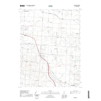
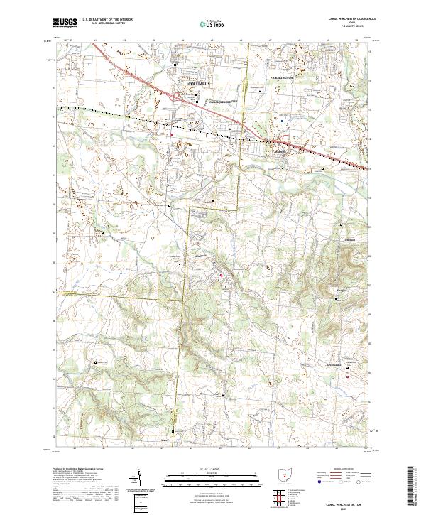 2023 Canal Winchester2023 Print · USGSThe southeast suburbs of COLUMBUS meet the rural edges of FAIRFIELD CO in this detailed recent survey. Local historians can trace family plots at Union Grove Cemetery and Shoemaker Cemetery or locate the distinctive Glick Brick Church.
End of results
Showing maps 1-20 of 20
Top cities near Bloom Township
- Columbus historical maps
- Lancaster historical maps
- Reynoldsburg historical maps
- Gahanna historical maps
- Pickerington historical maps
- Whitehall historical maps
See more
Top neighborhoods of Bloom Township
- Greencastle historical maps
- Jefferson historical maps
- Lockville historical maps
- Slough historical maps
- Wesley Chapel historical maps
Frequently asked questions
- What are the different types of historical maps available for Bloom Township?
- What is the oldest map of Bloom Township?
- Where can I purchase historical maps of Bloom Township for my home or office?
- Where can I download high-res historical maps of Bloom Township?
- Are there historical topographic maps available for Bloom Township?
- Is there historical aerial imagery available for Bloom Township?
- Where are historical maps of Bloom Township sourced from?