Old Maps of Blendon Township, Ohio
Explore 35 old maps of Blendon Township, spanning from 1902 to today. These high-resolution historic maps reveal how streets, neighborhoods, landmarks, and natural features evolved over time — perfect for genealogy, metal detecting, research, and local history exploration.
What you can do with these maps:
- See how Blendon Township changed over time: Compare historical maps to modern-day views to trace roads, homesites, rail lines & more.
- View detailed metadata: Each map includes creators, publishers, year, scale, and archive source.
- Overlay maps with satellite & LiDAR: Visualize the past alongside modern tools to explore terrain & human change.
- Trusted historical sources: Maps sourced from the USGS, Library of Congress, and other archives.
- Access maps your way: View online, download high-res files, or order prints for personal or research use.
Start exploring old maps of Blendon Township to uncover forgotten places, hidden landmarks, and the deep history beneath your feet.
Blendon Township, OH maps
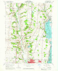
(35)- 1902 Map of Westerville, 1958 Print
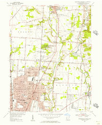
 1902 Westerville1958 Print · USGSFranklin and Delaware counties at the turn of the century show a landscape transitioning from rural mill seats to rail-connected suburbs. Genealogists can trace family footprints through historic settlements like Westerville, Gahanna, and the trolley-linked Central College.
 - 1904 Map of Westerville, 1941 Print
 1904 Westerville1941 Print · USGSCentral Ohio at the turn of the century shows a landscape transitioning from rural crossroads to early suburban rail hubs. Genealogists and local historians can trace the paths of the Columbus and Newark Electric R.R. and locate vanished local points like Africa, Central College, and Unhook.2 unique versions available
 - 1950 Map of Marion
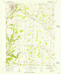
 1950 Marion1950 Print · USGSCentral Ohio was a powerhouse of rail and river industry at the mid-century point, serving as a vital corridor between the Great Lakes and the Ohio River valley. Genealogists and rail historians can trace the paths of the Erie RR and Nickel Plate Road through towns like Bucyrus, Galion, and Upper Sandusky.
 - 1954 Map of Northeast Columbus, 1956 Print
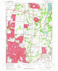
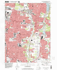
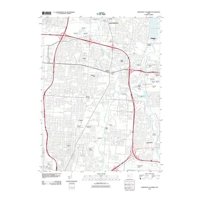
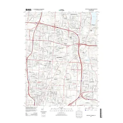
 1954 Northeast Columbus1956 Print · USGSNortheast Columbus and its northern suburbs are captured in the mid-fifties as rural areas transitioned into postwar residential developments. Genealogists can locate family landmarks such as Otterbein Cem, the State Home for the Aged, and early schools like McKinley High Sch.
 - 1955 Map of Sunbury, 1956 Print
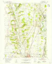
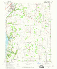
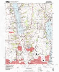
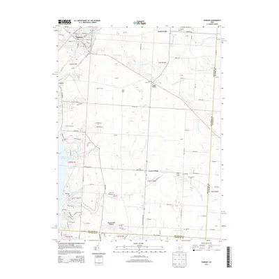
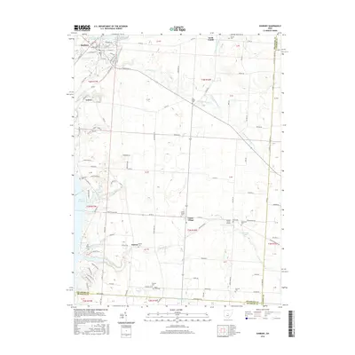
 1955 Sunbury1956 Print · USGSMid-century Delaware County comes into focus as Sunbury and Galena maintain their historic rail connections along the PENNSYLVANIA line. Researchers can trace rural lineages through numerous local sites like Fancher Cem, New Bethel Ch, and the emerging Hoover Reservoir.2 unique versions available
 - 1955 Map of New Albany, 1956 Print
 1955 New Albany1956 Print · USGSNortheast Franklin County comes into focus in the mid-1950s as a collection of rural hamlets and emerging reservoir lands. Genealogists can trace family roots through sites like Jersey Chapel, Ayers Cem, and the old Township Sch.
 - 1955 Map of Galena, 1956 Print
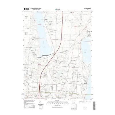
 1955 Galena1956 Print · USGSDelaware County and northern Westerville are captured in the mid-1950s as the filling of the Hoover Reservoir reshapes the landscape. Local historians can trace the foundations of Otterbein College or locate vanished points like Africa and the Peachblow Cem.
 - 1962 Map of Marion
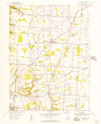
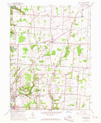
 1962 Marion1962 Print · USGSCentral Ohio during the post-war era showcases a dense network of railroad towns and emerging interstate highways. Genealogists can trace family roots in smaller settlements like Houcktown and Marseilles or locate landmarks near Indian Lake.
 - 1964 Map of Galena, 1965 Print
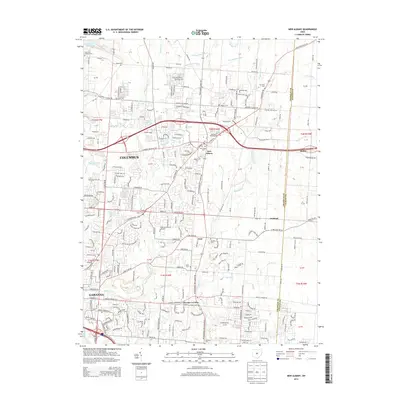
 1964 Galena1965 Print · USGSMid-century Delaware and Franklin Counties are captured here during a period of suburban growth and reservoir development. Genealogists and local historians can locate the Otterbein College campus and old community sites like Africa, Peachblow Cem, and the Township Meeting House.4 unique versions available
 - 1964 Map of Northeast Columbus, 1966 Print
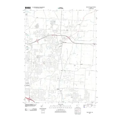
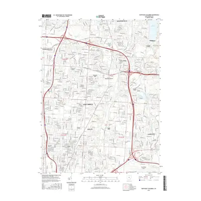
 1964 Northeast Columbus1966 Print · USGSThe northern suburbs of Columbus are shown in a period of major expansion during the mid-sixties as new highways began to reshape the landscape. Local historians can trace the growth of Westerville, identify early layouts of Huber Ridge, and locate long-standing landmarks like Otterbein College and Riverside Cem.4 unique versions available
 - 1966 Map of Marion, 1968 Print
 1966 Marion1968 Print · USGSCentral Ohio in the mid-sixties is captured during a period of rapid highway expansion and industrial connectivity. Genealogists and historians can trace rail-and-river networks through towns like Marion, Urbana, and Mount Vernon, or locate landmarks such as Malabar Farm and Black Hand Rock.3 unique versions available
 - 1966 Map of New Albany, 1968 Print
 1966 New Albany1968 Print · USGSFranklin and Licking counties are captured here in the mid-sixties, as rural communities like New Albany and Gahanna began to expand. Genealogists and local historians can trace family-named sites such as Havens Corners, Burnside Cem, and Jersey Chapel.3 unique versions available
 - 1967 Map of Sunbury, 1969 Print
 1967 Sunbury1969 Print · USGSDelaware County's rural character meets the growing reach of the capital's parklands in the late sixties. Genealogists and local historians can trace family roots through several landmarks, including Vans Valley Cem, New Bethel Ch, and the settlement at Center Village.3 unique versions available
 - 1995 Map of Northeast Columbus, 1999 Print
 1995 Northeast Columbus1999 Print · USGSThe suburbs of northeast Franklin County undergo rapid expansion in the 1990s between the Alum and Big Walnut Creek valleys. Genealogists and local historians can trace legacy sites like Otterbein Cem, Central College, and the historical footprint of Parks Mills.
 - 1995 Map of Galena, 1999 Print
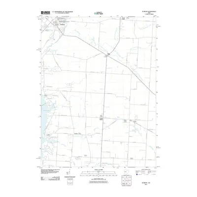
 1995 Galena1999 Print · USGSCentral Ohio at the close of the century shows the suburban growth of Westerville and Columbus alongside major reservoirs. Trace the history of Africa, Otterbein College, and the sprawling Alum Creek State Park.
 - 2010 Map of Galena, 2010 Print
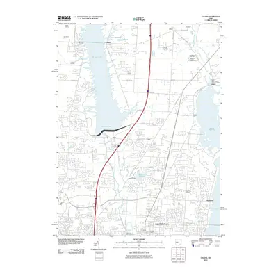 2010 Galena2010 Print · USGSCovers Blendon Township, including Columbus, Westerville, and other nearby areas
 - 2010 Map of Sunbury, 2010 Print
 2010 Sunbury2010 Print · USGSCovers Blendon Township, including Harlem, Sunbury, and other nearby areas
 - 2010 Map of Northeast Columbus, 2010 Print
 2010 Northeast Columbus2010 Print · USGSCovers Blendon Township, including Columbus, Westerville, and other nearby areas
 - 2010 Map of New Albany, 2010 Print
 2010 New Albany2010 Print · USGSCovers Blendon Township, including Columbus, Gahanna, and other nearby areas
 - 2013 Map of Sunbury, 2013 Print
 2013 Sunbury2013 Print · USGSCovers Blendon Township, including Harlem, Sunbury, and other nearby areas
 - 2013 Map of Galena, 2013 Print
 2013 Galena2013 Print · USGSCovers Blendon Township, including Columbus, Westerville, and other nearby areas
 - 2013 Map of Northeast Columbus, 2013 Print
 2013 Northeast Columbus2013 Print · USGSCovers Blendon Township, including Columbus, Westerville, and other nearby areas
 - 2013 Map of New Albany, 2013 Print
 2013 New Albany2013 Print · USGSCovers Blendon Township, including Columbus, Gahanna, and other nearby areas
 - 2016 Map of Sunbury, 2016 Print
 2016 Sunbury2016 Print · USGSCovers Blendon Township, including Harlem, Sunbury, and other nearby areas
 - 2016 Map of Northeast Columbus, 2016 Print
 2016 Northeast Columbus2016 Print · USGSCovers Blendon Township, including Columbus, Westerville, and other nearby areas
Showing maps 1-25 of 35
Top cities near Blendon Township
- Columbus historical maps
- Dublin historical maps
- Delaware historical maps
- Westerville historical maps
- Hilliard historical maps
- Upper Arlington historical maps
See more
Top neighborhoods of Blendon Township
Frequently asked questions
- What are the different types of historical maps available for Blendon Township?
- What is the oldest map of Blendon Township?
- Where can I purchase historical maps of Blendon Township for my home or office?
- Where can I download high-res historical maps of Blendon Township?
- Are there historical topographic maps available for Blendon Township?
- Is there historical aerial imagery available for Blendon Township?
- Where are historical maps of Blendon Township sourced from?