2020s Maps of Deshler Township, Ohio
Explore 2 historic maps of Deshler Township from the 2020s. These maps offer a rare glimpse into what life looked like during the 2020s — showing old roads, neighborhoods, homes, and landmarks that have changed or disappeared over time.
Whether you're researching your family's past, planning a metal detecting trip, or studying how Deshler Township's landscape evolved across the 2020s, these high-resolution maps are a powerful tool for exploring the history of this region.
- Focus on a specific era: All maps on this page are from the 2020s, giving you a focused view of this time period.
- See what’s changed: Compare century-old streets, trails, and buildings to today's modern landscape using overlays and satellite layers.
- Research with precision: Use these maps for genealogy, historical research, land use analysis, or educational projects.
- View, download, or print: Maps are fully viewable online in high resolution, and can be downloaded or printed for your own records.
Start exploring Deshler Township's history through authentic maps from the 2020s. This is your window into the past.
Deshler Township, OH maps
(2)- 2023 Map of Deshler, 2023 Print
 2023 Deshler2023 Print · USGSNorthwestern Ohio's agricultural landscape is documented here in the early twenty-first century, showing the village of Deshler and its surrounding townships. Genealogists and local researchers can locate Woodlawn Cem and Belmore, while tracing the paths of Brush Creek and Hammer Creek.
 - 2023 Map of McClure, 2023 Print
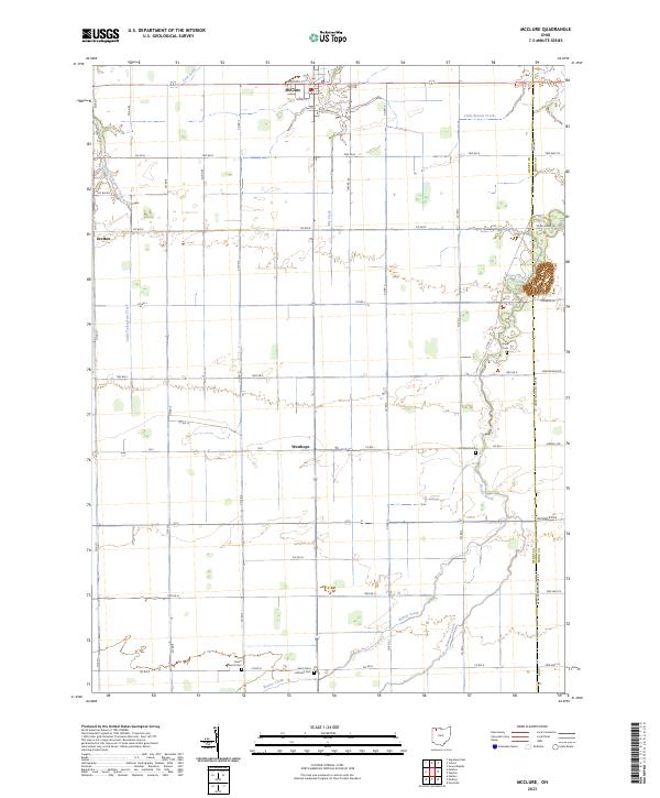 2023 McClure2023 Print · USGSNorthern Ohio farming country is shown here in the 2020s, centered on the historic village of McClure. Researchers can trace local burial sites like Saint Johns Lutheran Cem and Angel Cem along the winding banks of Beaver Creek.
End of results
Showing maps 1-2 of 2
Top cities near Deshler Township
- Napoleon historical maps
- Ottawa historical maps
- Providence historical maps
- Leipsic historical maps
- Deshler historical maps
- McComb historical maps
See more
Top neighborhoods of Deshler Township
Frequently asked questions
- What are the different types of historical maps available for Deshler Township?
- What is the oldest map of Deshler Township?
- Where can I purchase historical maps of Deshler Township for my home or office?
- Where can I download high-res historical maps of Deshler Township?
- Are there historical topographic maps available for Deshler Township?
- Is there historical aerial imagery available for Deshler Township?
- Where are historical maps of Deshler Township sourced from?