2020s Maps of Monroe Township, Ohio
Explore 2 historic maps of Monroe Township from the 2020s. These maps offer a rare glimpse into what life looked like during the 2020s — showing old roads, neighborhoods, homes, and landmarks that have changed or disappeared over time.
Whether you're researching your family's past, planning a metal detecting trip, or studying how Monroe Township's landscape evolved across the 2020s, these high-resolution maps are a powerful tool for exploring the history of this region.
- Focus on a specific era: All maps on this page are from the 2020s, giving you a focused view of this time period.
- See what’s changed: Compare century-old streets, trails, and buildings to today's modern landscape using overlays and satellite layers.
- Research with precision: Use these maps for genealogy, historical research, land use analysis, or educational projects.
- View, download, or print: Maps are fully viewable online in high resolution, and can be downloaded or printed for your own records.
Start exploring Monroe Township's history through authentic maps from the 2020s. This is your window into the past.
Monroe Township, OH maps
(2)- 2023 Map of McClure, 2023 Print
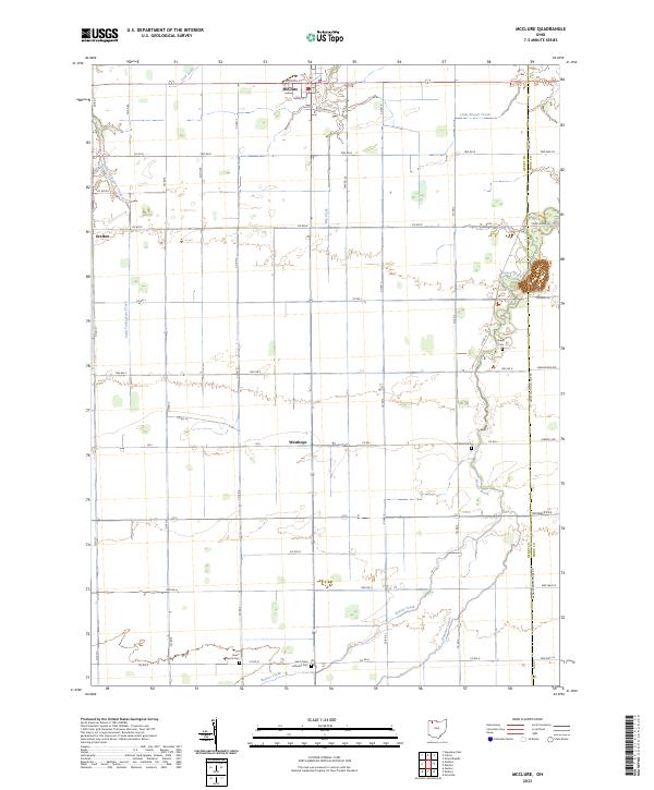 2023 McClure2023 Print · USGSNorthern Ohio farming country is shown here in the 2020s, centered on the historic village of McClure. Researchers can trace local burial sites like Saint Johns Lutheran Cem and Angel Cem along the winding banks of Beaver Creek.
 - 2023 Map of Malinta, 2023 Print
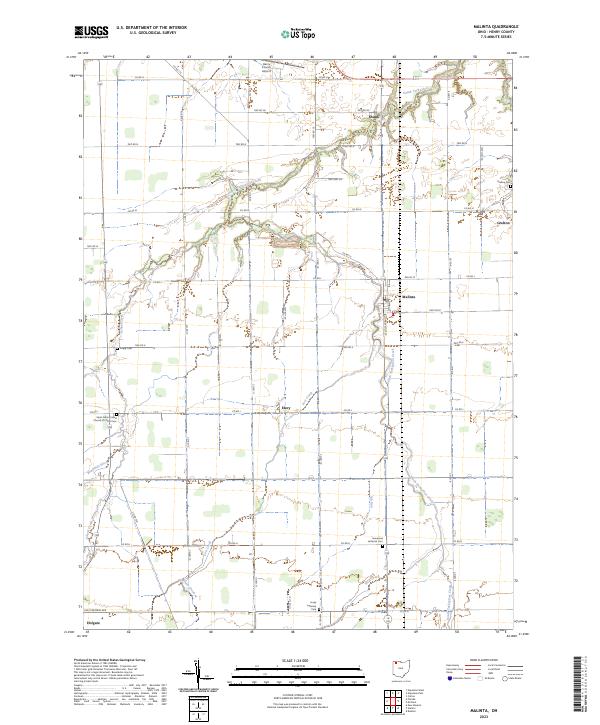 2023 Malinta2023 Print · USGSHenry County remains a quintessential Northwest Ohio landscape of crossroads hamlets and family farmsteads in the twenty-first century. Genealogists and local historians can trace rural roots at sites like Grelton Cem or follow the waters of South Turkeyfoot Creek through Malinta.
End of results
Showing maps 1-2 of 2
Top cities near Monroe Township
- Napoleon historical maps
- Archbold historical maps
- Providence historical maps
- Leipsic historical maps
- Deshler historical maps
- Continental historical maps
See more
Top neighborhoods of Monroe Township
Frequently asked questions
- What are the different types of historical maps available for Monroe Township?
- What is the oldest map of Monroe Township?
- Where can I purchase historical maps of Monroe Township for my home or office?
- Where can I download high-res historical maps of Monroe Township?
- Are there historical topographic maps available for Monroe Township?
- Is there historical aerial imagery available for Monroe Township?
- Where are historical maps of Monroe Township sourced from?