Old Maps of Holgate, Pleasant Township for Genealogy
Trace your family roots with 29 historic maps of Holgate. These high-res maps reveal old neighborhoods, homesites, landmarks, and streets — helping you uncover where your ancestors lived and how the area evolved over time.
- Explore historic neighborhoods: Identify where your relatives may have lived in the 1800s or 1900s.
- Compare maps over time: Trace the changes in streets, buildings, and landmarks for multi-generational research.
- Perfect for genealogy & ancestry research: Used by family historians and researchers to map out lineage and migration.
These maps are an incredible resource for exploring your personal connection to Holgate's past.
Holgate, Pleasant Township maps
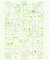
(29)- 1908 Map of Ottawa, 1936 Print
 1908 Ottawa1936 Print · USGSNorthwest Ohio's agricultural landscape is seen here in the early twentieth century as a complex network of drainage ditches and competing rail lines. Genealogists can trace family roots in settlements like Glandorf, Miller City, and the rural hub of Ottawa.2 unique versions available
 - 1908 Map of Napoleon, 1942 Print
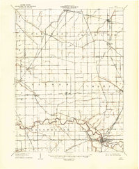
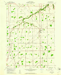
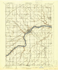 1908 Napoleon1942 Print · USGSNorthwest Ohio was a hub of steam and water transit at the turn of the century, with the Maumee River anchoring the region. Genealogists and rail historians can trace the paths of five different railroads and the historic Miami and Erie Canal through towns like Napoleon and Malinta.2 unique versions available
 - 1953 Map of Fort Wayne, 1963 Print
 1953 Fort Wayne1963 Print · USGSNortheast Indiana and its neighboring borderlands in Michigan and Ohio appear here during a peak era of rail and road expansion. Researchers can trace the massive rail networks of the Nickel Plate Road and Wabash or locate lakeside landmarks like Lake Wawasee and Clear Lake.4 unique versions available
 - 1956 Map of Fort Wayne
 1956 Fort Wayne1956 Print · USGSThe tri-state borderlands of Indiana, Michigan, and Ohio are captured here in the mid-fifties, centered on the growing industrial hub of Fort Wayne. Researchers can trace the heavy rail lines of the New York Central and Pennsylvania alongside prominent water features like Lake Wawasee and the Maumee River.2 unique versions available
 - 1959 Map of Florida, 1961 Print
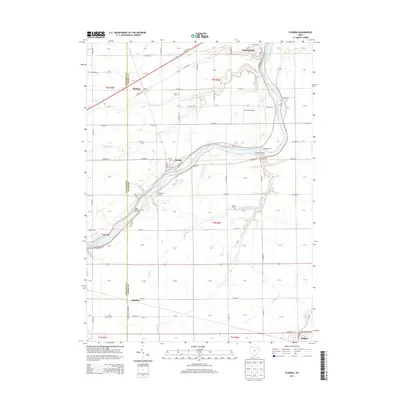
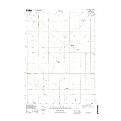
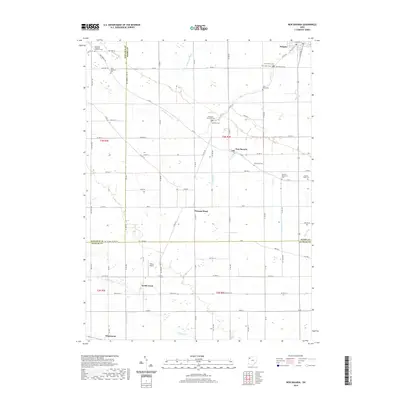
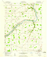 1959 Florida1961 Print · USGSHenry County farmland meets the river in the late 1950s as the regional rail network and old canal paths still define the landscape. Genealogists can locate family landmarks such as Bethlehem Ch, Okolona, and the Miami and Erie Canal.3 unique versions available
 - 1960 Map of New Bavaria, 1961 Print
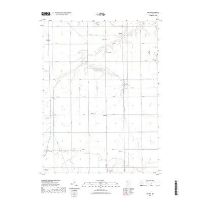
 1960 New Bavaria1961 Print · USGSNorthwest Ohio at the start of the sixties reveals a landscape of tight-knit farming communities and family-named roads. Genealogists can trace property proximity through landmarks like St Stephens Cem, Pleasant Bend, and the Sacred Heart Sch.3 unique versions available
 - 1960 Map of Hamler, 1961 Print
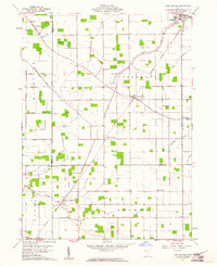
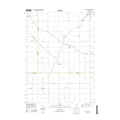
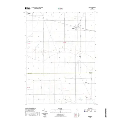
 1960 Hamler1961 Print · USGSNorthwest Ohio at the start of the 1960s was a landscape defined by its rail junctions and extensive drainage systems. You can trace the intersecting lines of the Baltimore and Ohio through Hamler and locate rural landmarks like St Pauls Cem and Zion Ch.2 unique versions available
 - 1960 Map of Malinta, 1961 Print
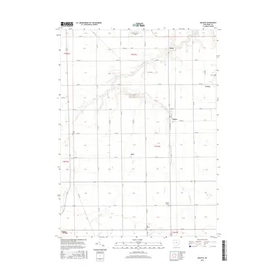
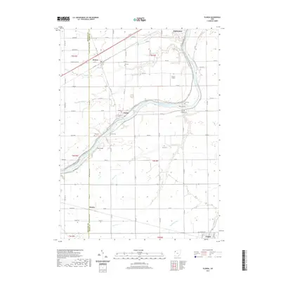
 1960 Malinta1961 Print · USGSThe fertile landscape of Henry County is captured here in the early sixties as a center of rail commerce and rural life. Genealogists and historians can trace old family footprints near Malinta, Grelton, and country parishes like St Paul Ch and Hope Ch.3 unique versions available
 - 1986 Map of Defiance, 1992 Print
 1986 Defiance1992 Print · USGSNorthwest Ohio and Eastern Indiana appear in the late eighties as a landscape shaped by significant river confluences and rail corridors. Researchers can trace the layout of local towns and landmarks like Defiance College, Forest Hill Cem, and the path of the Norfolk and Western RR.
 - 2010 Map of New Bavaria, 2010 Print
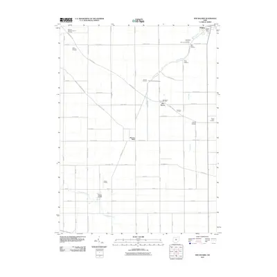 2010 New Bavaria2010 Print · USGSCovers Holgate, including New Bavaria, Palmer Township, and other nearby areas
 - 2010 Map of Malinta, 2010 Print
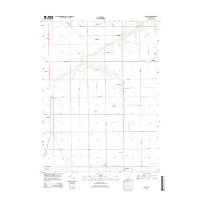
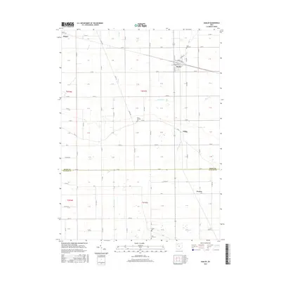
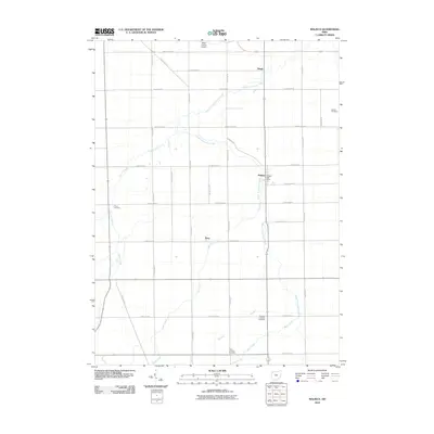 2010 Malinta2010 Print · USGSCovers Holgate, including Malinta, Pleasant Township, and other nearby areas
 - 2010 Map of Hamler, 2010 Print
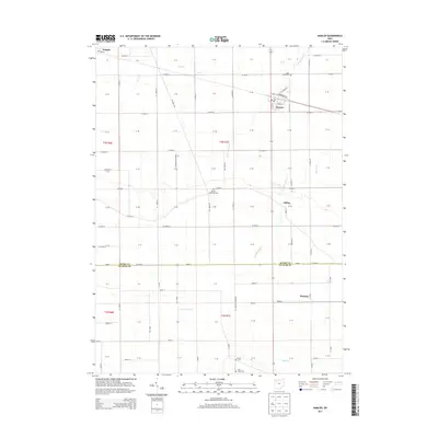
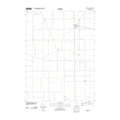 2010 Hamler2010 Print · USGSCovers Holgate, including Hamler, Palmer Township, and other nearby areas
 - 2010 Map of Florida, 2010 Print
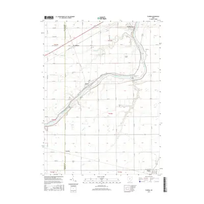
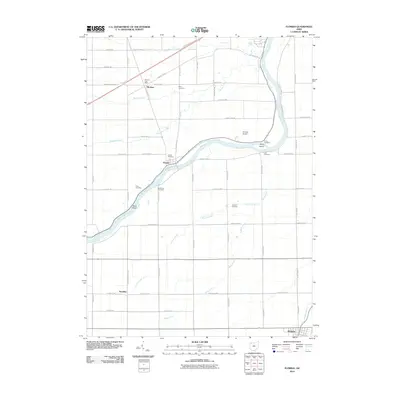 2010 Florida2010 Print · USGSCovers Holgate, including Napoleon, Florida, and other nearby areas
 - 2013 Map of Florida, 2013 Print
 2013 Florida2013 Print · USGSCovers Holgate, including Napoleon, Florida, and other nearby areas
 - 2013 Map of New Bavaria, 2013 Print
 2013 New Bavaria2013 Print · USGSCovers Holgate, including New Bavaria, Palmer Township, and other nearby areas
 - 2013 Map of Malinta, 2013 Print
 2013 Malinta2013 Print · USGSCovers Holgate, including Malinta, Pleasant Township, and other nearby areas
 - 2013 Map of Hamler, 2013 Print
 2013 Hamler2013 Print · USGSCovers Holgate, including Hamler, Palmer Township, and other nearby areas
 - 2016 Map of Florida, 2016 Print
 2016 Florida2016 Print · USGSCovers Holgate, including Napoleon, Florida, and other nearby areas
 - 2016 Map of Hamler, 2016 Print
 2016 Hamler2016 Print · USGSCovers Holgate, including Hamler, Palmer Township, and other nearby areas
 - 2016 Map of New Bavaria, 2016 Print
 2016 New Bavaria2016 Print · USGSCovers Holgate, including New Bavaria, Palmer Township, and other nearby areas
 - 2016 Map of Malinta, 2016 Print
 2016 Malinta2016 Print · USGSCovers Holgate, including Malinta, Pleasant Township, and other nearby areas
 - 2019 Map of Hamler, 2019 Print
 2019 Hamler2019 Print · USGSCovers Holgate, including Hamler, Palmer Township, and other nearby areas
 - 2019 Map of Malinta, 2019 Print
 2019 Malinta2019 Print · USGSCovers Holgate, including Malinta, Pleasant Township, and other nearby areas
 - 2019 Map of New Bavaria, 2019 Print
 2019 New Bavaria2019 Print · USGSCovers Holgate, including New Bavaria, Palmer Township, and other nearby areas
 - 2019 Map of Florida, 2019 Print
 2019 Florida2019 Print · USGSCovers Holgate, including Napoleon, Florida, and other nearby areas
Showing maps 1-25 of 29
Top cities near Holgate
- Defiance historical maps
- Napoleon historical maps
- Ottawa historical maps
- Leipsic historical maps
- Deshler historical maps
- Continental historical maps
See more
Frequently asked questions
- What are the different types of historical maps available for Holgate?
- What is the oldest map of Holgate?
- Where can I purchase historical maps of Holgate for my home or office?
- Where can I download high-res historical maps of Holgate?
- Are there historical topographic maps available for Holgate?
- Is there historical aerial imagery available for Holgate?
- Where are historical maps of Holgate sourced from?