2000s (21st Century) Maps of Lyme Township, Ohio
Explore 20 historic maps of Lyme Township from the 2000s (21st Century). These maps offer a rare glimpse into what life looked like during the 2000s — showing old roads, neighborhoods, homes, and landmarks that have changed or disappeared over time.
Whether you're researching your family's past, planning a metal detecting trip, or studying how Lyme Township's landscape evolved across the 2000s, these high-resolution maps are a powerful tool for exploring the history of this region.
- Focus on a specific era: All maps on this page are from the 2000s, giving you a focused view of this time period.
- See what’s changed: Compare century-old streets, trails, and buildings to today's modern landscape using overlays and satellite layers.
- Research with precision: Use these maps for genealogy, historical research, land use analysis, or educational projects.
- View, download, or print: Maps are fully viewable online in high resolution, and can be downloaded or printed for your own records.
Start exploring Lyme Township's history through authentic maps from the 2000s. This is your window into the past.
Lyme Township, OH maps
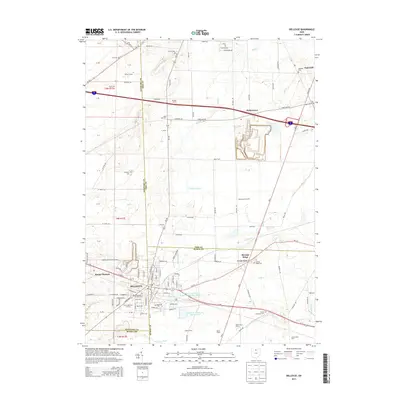
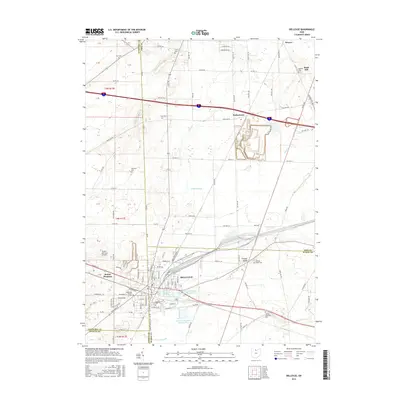
(20)- 2010 Map of Bellevue, 2010 Print
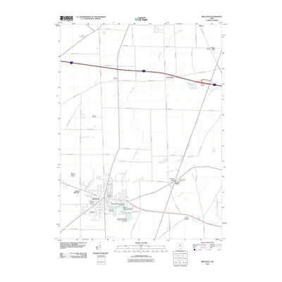 2010 Bellevue2010 Print · USGSCovers Lyme Township, including Bellevue, Groton Township, and other nearby areas
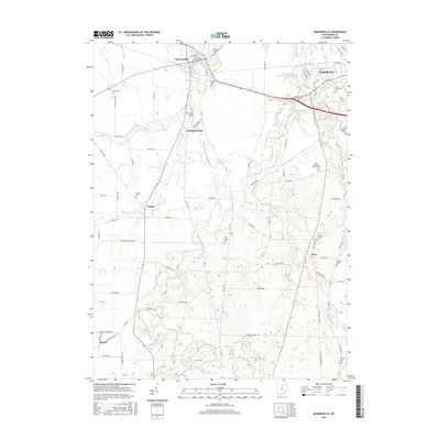
 - 2010 Map of Monroeville, 2010 Print
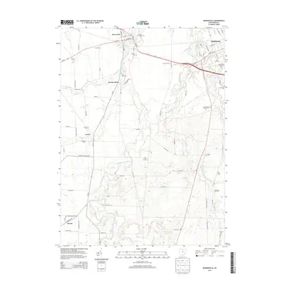
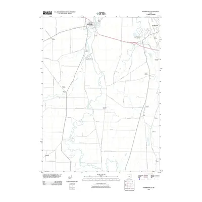 2010 Monroeville2010 Print · USGSCovers Lyme Township, including Norwalk, Monroeville, and other nearby areas
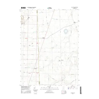
 - 2010 Map of Flat Rock, 2010 Print
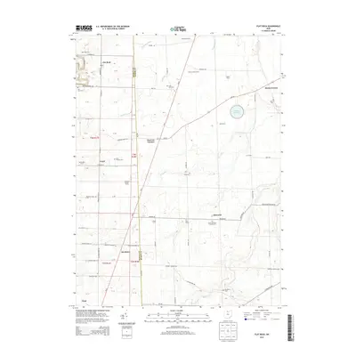
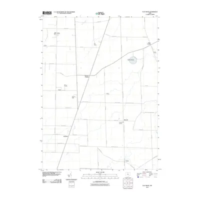 2010 Flat Rock2010 Print · USGSCovers Lyme Township, including Sherman Township, Frank, and other nearby areas
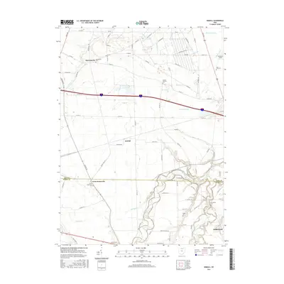
 - 2010 Map of Kimball, 2010 Print
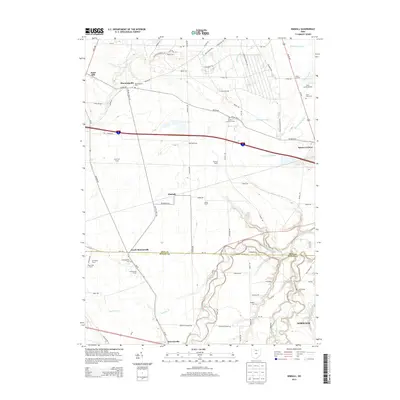
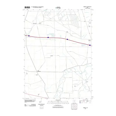 2010 Kimball2010 Print · USGSCovers Lyme Township, including Norwalk, Monroeville, and other nearby areas
 - 2013 Map of Bellevue, 2013 Print
 2013 Bellevue2013 Print · USGSCovers Lyme Township, including Bellevue, Groton Township, and other nearby areas
 - 2013 Map of Kimball, 2013 Print
 2013 Kimball2013 Print · USGSCovers Lyme Township, including Norwalk, Monroeville, and other nearby areas
 - 2013 Map of Flat Rock, 2013 Print
 2013 Flat Rock2013 Print · USGSCovers Lyme Township, including Sherman Township, Frank, and other nearby areas
 - 2013 Map of Monroeville, 2013 Print
 2013 Monroeville2013 Print · USGSCovers Lyme Township, including Norwalk, Monroeville, and other nearby areas
 - 2016 Map of Bellevue, 2016 Print
 2016 Bellevue2016 Print · USGSCovers Lyme Township, including Bellevue, Groton Township, and other nearby areas
 - 2016 Map of Monroeville, 2016 Print
 2016 Monroeville2016 Print · USGSCovers Lyme Township, including Norwalk, Monroeville, and other nearby areas
 - 2016 Map of Kimball, 2016 Print
 2016 Kimball2016 Print · USGSCovers Lyme Township, including Norwalk, Monroeville, and other nearby areas
 - 2016 Map of Flat Rock, 2016 Print
 2016 Flat Rock2016 Print · USGSCovers Lyme Township, including Sherman Township, Frank, and other nearby areas
 - 2019 Map of Flat Rock, 2019 Print
 2019 Flat Rock2019 Print · USGSCovers Lyme Township, including Sherman Township, Frank, and other nearby areas
 - 2019 Map of Monroeville, 2019 Print
 2019 Monroeville2019 Print · USGSCovers Lyme Township, including Norwalk, Monroeville, and other nearby areas
 - 2019 Map of Kimball, 2019 Print
 2019 Kimball2019 Print · USGSCovers Lyme Township, including Norwalk, Monroeville, and other nearby areas
 - 2019 Map of Bellevue, 2019 Print
 2019 Bellevue2019 Print · USGSCovers Lyme Township, including Bellevue, Groton Township, and other nearby areas
 - 2023 Map of Flat Rock, 2023 Print
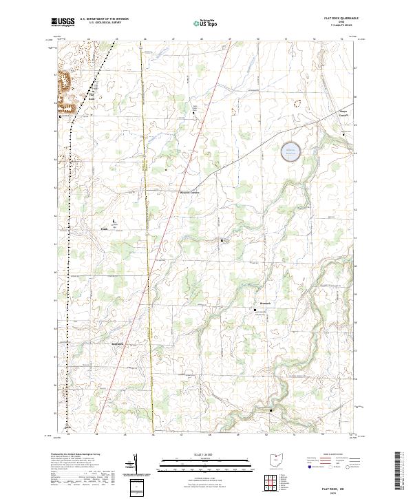 2023 Flat Rock2023 Print · USGSNorth-central Ohio farm country is meticulously detailed here in the 2020s, spanning the border of Seneca and Huron Counties. Researchers can locate several rural burial grounds and crossroads hamlets including Saint Michaels Cem, Reedtown, and Bismarck.
 - 2023 Map of Bellevue, 2023 Print
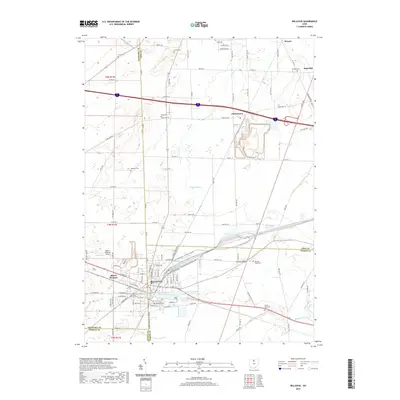
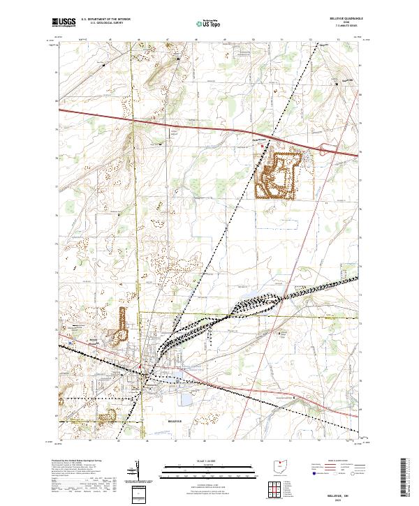 2023 Bellevue2023 Print · USGSInland from Lake Erie in the 2020s, this area of northern Ohio reveals a landscape defined by county-line crossroads and municipal reservoirs. Researchers can trace family history through a dozen rural burial grounds including Wickwire Cem and Sandhill Cem near the hamlet of Weyers.
 - 2023 Map of Monroeville, 2023 Print
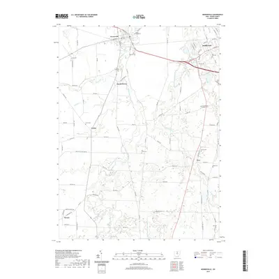
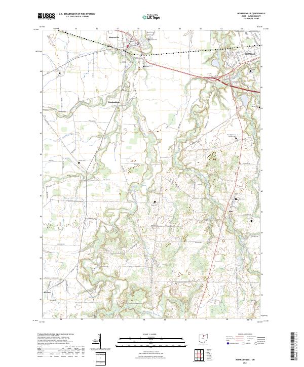 2023 Monroeville2023 Print · USGSHuron County's rural heartland is documented in the modern era, showing the persistent settlement patterns of the Firelands. Researchers can locate numerous family and church burial sites like Pontiac Cem, Hester Cem, and the uniquely named Axe Factory Cem.
 - 2023 Map of Kimball, 2023 Print
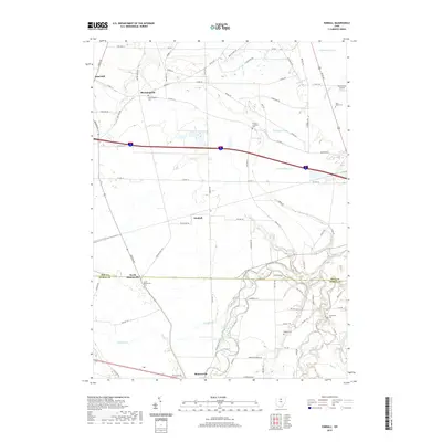
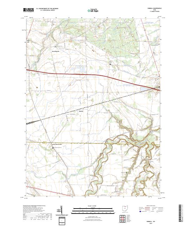 2023 Kimball2023 Print · USGSThe borderlands of Erie and Huron counties are captured here in the early twenty-first century, showing a landscape shaped by water and memory. Genealogists can locate several local burial sites like Bloomingville Cem and Ruggles Cem among the fertile bends of the Huron River.
End of results
Showing maps 1-20 of 20
Top cities near Lyme Township
- Sandusky historical maps
- Norwalk historical maps
- Willard historical maps
- Clyde historical maps
- Bellevue historical maps
- Milan historical maps
See more
Top neighborhoods of Lyme Township
Frequently asked questions
- What are the different types of historical maps available for Lyme Township?
- What is the oldest map of Lyme Township?
- Where can I purchase historical maps of Lyme Township for my home or office?
- Where can I download high-res historical maps of Lyme Township?
- Are there historical topographic maps available for Lyme Township?
- Is there historical aerial imagery available for Lyme Township?
- Where are historical maps of Lyme Township sourced from?