2000s (21st Century) Maps of Wellston, Ohio
Explore 10 historic maps of Wellston from the 2000s (21st Century). These maps offer a rare glimpse into what life looked like during the 2000s — showing old roads, neighborhoods, homes, and landmarks that have changed or disappeared over time.
Whether you're researching your family's past, planning a metal detecting trip, or studying how Wellston's landscape evolved across the 2000s, these high-resolution maps are a powerful tool for exploring the history of this region.
- Focus on a specific era: All maps on this page are from the 2000s, giving you a focused view of this time period.
- See what’s changed: Compare century-old streets, trails, and buildings to today's modern landscape using overlays and satellite layers.
- Research with precision: Use these maps for genealogy, historical research, land use analysis, or educational projects.
- View, download, or print: Maps are fully viewable online in high resolution, and can be downloaded or printed for your own records.
Start exploring Wellston's history through authentic maps from the 2000s. This is your window into the past.
Wellston, OH maps
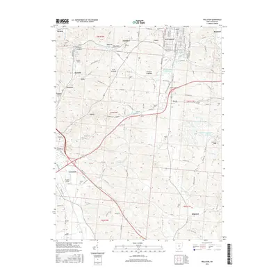
(10)- 2010 Map of Wellston, 2010 Print
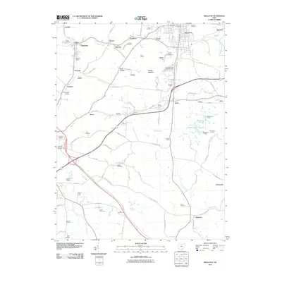 2010 Wellston2010 Print · USGSCovers Wellston, including Jackson, Coalton, and other nearby areas
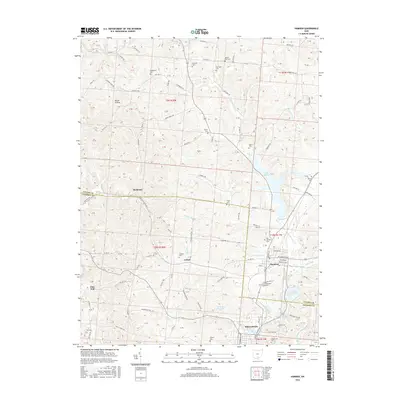
 - 2010 Map of Hamden, 2010 Print
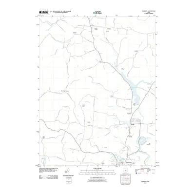 2010 Hamden2010 Print · USGSCovers Wellston, including Richland, Hamden, and other nearby areas
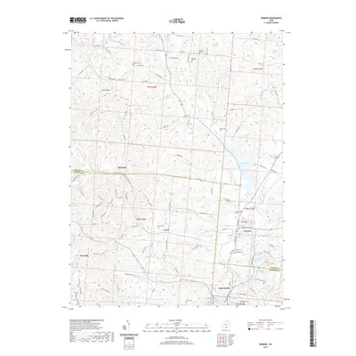
 - 2013 Map of Hamden, 2013 Print
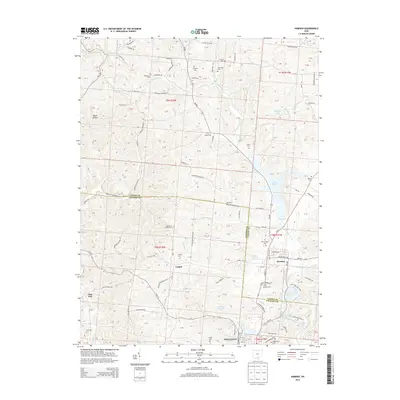 2013 Hamden2013 Print · USGSCovers Wellston, including Richland, Hamden, and other nearby areas
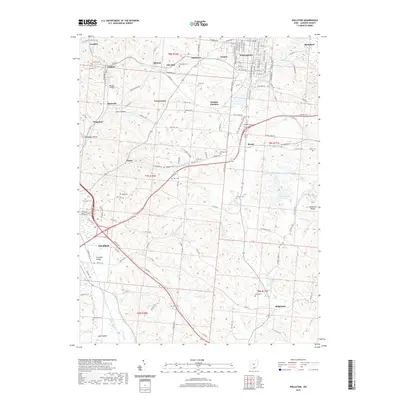
 - 2013 Map of Wellston, 2013 Print
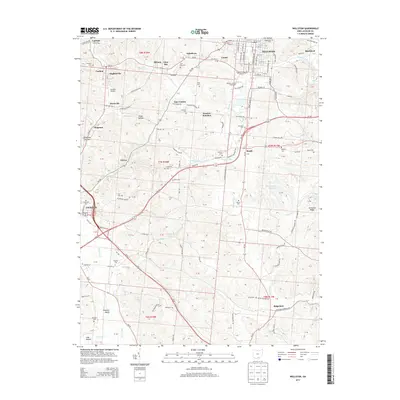 2013 Wellston2013 Print · USGSCovers Wellston, including Jackson, Coalton, and other nearby areas
 - 2016 Map of Wellston, 2016 Print
 2016 Wellston2016 Print · USGSCovers Wellston, including Jackson, Coalton, and other nearby areas
 - 2016 Map of Hamden, 2016 Print
 2016 Hamden2016 Print · USGSCovers Wellston, including Richland, Hamden, and other nearby areas
 - 2019 Map of Wellston, 2019 Print
 2019 Wellston2019 Print · USGSCovers Wellston, including Jackson, Coalton, and other nearby areas
 - 2019 Map of Hamden, 2019 Print
 2019 Hamden2019 Print · USGSCovers Wellston, including Richland, Hamden, and other nearby areas
 - 2023 Map of Hamden, 2023 Print
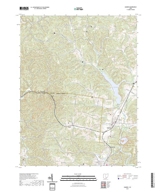 2023 Hamden2023 Print · USGSThe Vinton and Jackson County border comes into focus in this recent study of the Appalachian foothills. Local researchers can trace numerous family burial sites like Wyckoff Cem and Franklin Cem alongside the waters of Lake Rupert and Lake Alma.
 - 2023 Map of Wellston, 2023 Print
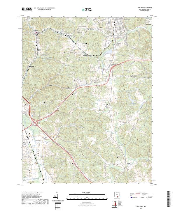 2023 Wellston2023 Print · USGSThe industrial and rural landscapes of Jackson County come into focus in this contemporary survey of the Wellston and Jackson area. Local historians can trace dozens of family cemeteries and old settlements like Coalton, Glen Roy, and Tom Corwin.
End of results
Showing maps 1-10 of 10
Top cities near Wellston
- Jackson historical maps
- McArthur historical maps
- Richland historical maps
- Oak Hill historical maps
- Hamden historical maps
- Rio Grande historical maps
See more
Top neighborhoods of Wellston
Frequently asked questions
- What are the different types of historical maps available for Wellston?
- What is the oldest map of Wellston?
- Where can I purchase historical maps of Wellston for my home or office?
- Where can I download high-res historical maps of Wellston?
- Are there historical topographic maps available for Wellston?
- Is there historical aerial imagery available for Wellston?
- Where are historical maps of Wellston sourced from?