Old Maps of Pike Township, Ohio for Hiking & Exploration
Hike through history with 35 historic maps of Pike Township. Explore old trails, ghost towns, and forgotten backroads — perfect for outdoor adventurers and local explorers.
- Rediscover forgotten places: Map out old mining camps, roads, and footpaths that no longer exist on modern maps.
- Layer with modern tools: Combine with LiDAR or satellite views to plan hikes through historical terrain.
- Made for exploration: Popular among hikers, overlanders, and local history lovers.
Use these maps to find adventure and explore the hidden past of Pike Township.
Pike Township, OH maps
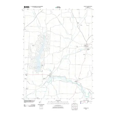
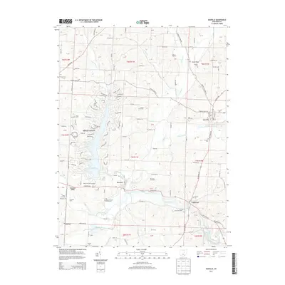
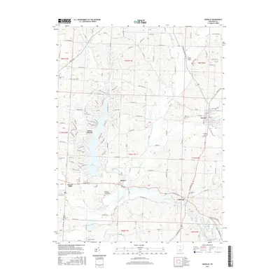
(35)- 1912 Map of Gambier, 1958 Print
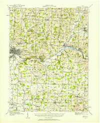 1912 Gambier1958 Print · USGSKnox County is captured at a fascinating moment when rural hamlets and small colleges thrived alongside expanding rail lines. Genealogists can locate dozens of country schools like Wildcat School and trace ancestors near Monroe Mills or the Democracy P O.2 unique versions available
 - 1912 Map of Perrysville, 1959 Print
 1912 Perrysville1959 Print · USGSRichland and Ashland counties were thriving agricultural and rail hubs during this era of rural development. Genealogists and local historians can trace the specific locations of many vanished schools and landmarks, from Black Swamp School to the prominent Gatton Rock.
 - 1914 Map of Gambier, 1942 Print
 1914 Gambier1942 Print · USGSKnox County in the early twentieth century is captured here as a thriving network of rail-connected towns and rural school districts. Genealogists can locate family-named landmarks like Pike School and Bedell School or trace the early campus of Kenyon College and the State Tuberculosis Hospital.
 - 1915 Map of Perrysville, 1944 Print
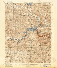 1915 Perrysville1944 Print · USGSAshland and Richland counties are captured here just before the First World War, when the landscape was a patchwork of small school districts and river-bottom farms. Genealogists can locate family landmarks such as St James School, the Treaty 1795 Line, and the rural village of Newville.
 - 1943 Map of Gambier
 1943 Gambier1943 Print · USGSKnox County during the Second World War shows a landscape of institutional growth and deep-rooted rural communities. Genealogists can trace family footprints across dozens of local schoolhouses like Cherry Hall Sch and historic centers such as Democracy P O or Martinsburg.
 - 1944 Map of Perrysville
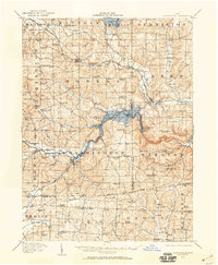
 1944 Perrysville1944 Print · USGSThe Mohican River valley in the mid-1940s reveals a transition from traditional milling to modern water management with the Pleasant Hill Reservoir. Genealogists can trace family footprints across dozens of country school sites like Knotty Oak Sch and the vanished crossroads of Black Swamp.
 - 1950 Map of Marion
 1950 Marion1950 Print · USGSCentral Ohio was a powerhouse of rail and river industry at the mid-century point, serving as a vital corridor between the Great Lakes and the Ohio River valley. Genealogists and rail historians can trace the paths of the Erie RR and Nickel Plate Road through towns like Bucyrus, Galion, and Upper Sandusky.
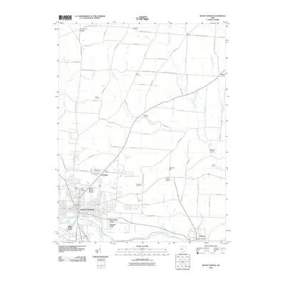
 - 1961 Map of Mt Vernon, 1962 Print
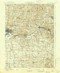
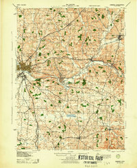
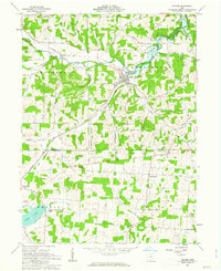
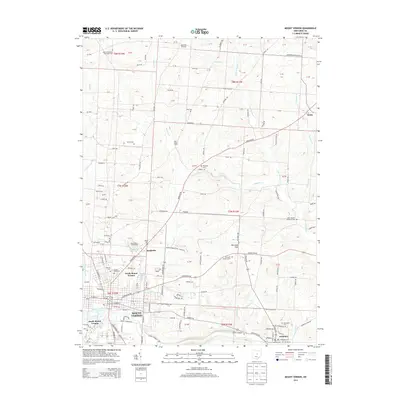
 1961 Mt Vernon1962 Print · USGSMid-century Knox County is shown here at a peak of institutional and educational growth, centered on the bustling city of Mt Vernon. You can trace the historic College campus in Gambier, locate family plots at Oak Grove Cem, or find the old Knox-Vernon Speedway.4 unique versions available
 - 1961 Map of Danville, 1963 Print
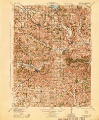
 1961 Danville1963 Print · USGSEastern Knox County during the early 1960s reveals a landscape shaped by the Kokosing River and the Pennsylvania railroad. Genealogists and local historians can trace family locations near Stone Quarry Chapel, Amity, and several rural cemeteries.3 unique versions available
 - 1961 Map of Jelloway, 1963 Print
 1961 Jelloway1963 Print · USGSNorth-central Ohio in the early sixties reveals a landscape of state forests and upland farms bisected by the historic Greenville Treaty Line. Genealogists and local historians can trace rural roots at Ireland, Jelloway, and Nunda, or locate family sites near Salem Ch and Biglow Ch.3 unique versions available
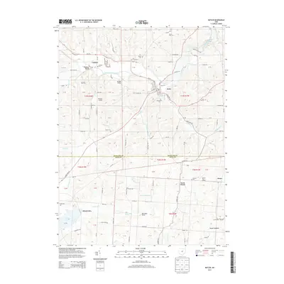
 - 1961 Map of Butler, 1963 Print
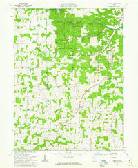
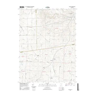
 1961 Butler1963 Print · USGSRichland and Knox counties are shown in the early sixties as the regional landscape transitioned around the newly formed KNOX LAKE. Genealogists can trace family names through landmarks like Dutch Hill Cem and the rural crossroads at North Liberty.4 unique versions available
 - 1962 Map of Marion
 1962 Marion1962 Print · USGSCentral Ohio during the post-war era showcases a dense network of railroad towns and emerging interstate highways. Genealogists can trace family roots in smaller settlements like Houcktown and Marseilles or locate landmarks near Indian Lake.
 - 1966 Map of Marion, 1968 Print
 1966 Marion1968 Print · USGSCentral Ohio in the mid-sixties is captured during a period of rapid highway expansion and industrial connectivity. Genealogists and historians can trace rail-and-river networks through towns like Marion, Urbana, and Mount Vernon, or locate landmarks such as Malabar Farm and Black Hand Rock.3 unique versions available
 - 1986 Map of Mansfield
 1986 Mansfield1986 Print · USGSNorth-central Ohio in the mid-eighties shows a landscape of industrial towns and large-scale water management projects. Researchers can trace historic sites like the Mansfield Reformatory, Malabar Farm State Park, and the racing grounds at Mid-Ohio Race Course.
 - 1994 Map of Mansfield
 1994 Mansfield1994 Print · USGSThe Mansfield and Ashland corridor of the 1990s reveals a landscape of industrial rail junctions and extensive state forests. You can trace the drainage of the Mohican River through reservoirs like Charles Mill Lake or locate sites such as Malabar Farm State Park.
 - 2010 Map of Butler, 2010 Print
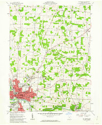
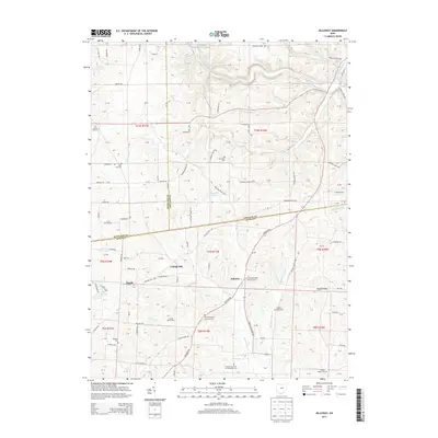
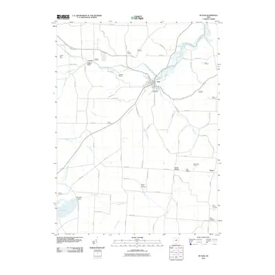 2010 Butler2010 Print · USGSCovers Pike Township, including Bellville, Butler, and other nearby areas
 - 2010 Map of Jelloway, 2010 Print
 2010 Jelloway2010 Print · USGSCovers Pike Township, including Loudonville, Jefferson Township, and other nearby areas
 - 2010 Map of Danville, 2010 Print
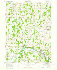
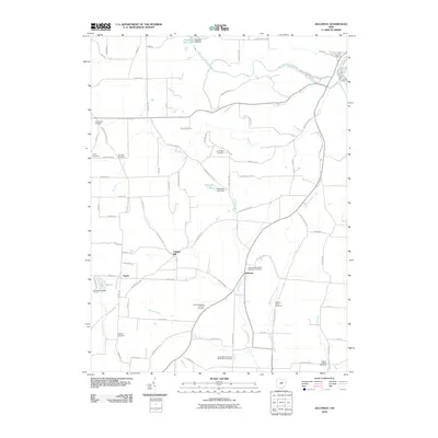
 2010 Danville2010 Print · USGSCovers Pike Township, including Howard, Danville, and other nearby areas
 - 2010 Map of Mount Vernon, 2010 Print
 2010 Mount Vernon2010 Print · USGSCovers Pike Township, including Mount Vernon, Gambier, and other nearby areas
 - 2013 Map of Butler, 2013 Print
 2013 Butler2013 Print · USGSCovers Pike Township, including Bellville, Butler, and other nearby areas
 - 2013 Map of Jelloway, 2013 Print
 2013 Jelloway2013 Print · USGSCovers Pike Township, including Loudonville, Jefferson Township, and other nearby areas
 - 2013 Map of Mount Vernon, 2013 Print
 2013 Mount Vernon2013 Print · USGSCovers Pike Township, including Mount Vernon, Gambier, and other nearby areas
 - 2013 Map of Danville, 2013 Print
 2013 Danville2013 Print · USGSCovers Pike Township, including Howard, Danville, and other nearby areas
 - 2016 Map of Jelloway, 2016 Print
 2016 Jelloway2016 Print · USGSCovers Pike Township, including Loudonville, Jefferson Township, and other nearby areas
 - 2016 Map of Danville, 2016 Print
 2016 Danville2016 Print · USGSCovers Pike Township, including Howard, Danville, and other nearby areas
Showing maps 1-25 of 35
Top cities near Pike Township
- Mansfield historical maps
- Mount Vernon historical maps
- Howard historical maps
- Lexington historical maps
- Loudonville historical maps
- Fredericktown historical maps
See more
Top neighborhoods of Pike Township
- Four Corners historical maps
- Amity historical maps
- North Liberty historical maps
- Berger historical maps
Frequently asked questions
- What are the different types of historical maps available for Pike Township?
- What is the oldest map of Pike Township?
- Where can I purchase historical maps of Pike Township for my home or office?
- Where can I download high-res historical maps of Pike Township?
- Are there historical topographic maps available for Pike Township?
- Is there historical aerial imagery available for Pike Township?
- Where are historical maps of Pike Township sourced from?