2000s (21st Century) Maps of Hanover Township, Ohio
Explore 10 historic maps of Hanover Township from the 2000s (21st Century). These maps offer a rare glimpse into what life looked like during the 2000s — showing old roads, neighborhoods, homes, and landmarks that have changed or disappeared over time.
Whether you're researching your family's past, planning a metal detecting trip, or studying how Hanover Township's landscape evolved across the 2000s, these high-resolution maps are a powerful tool for exploring the history of this region.
- Focus on a specific era: All maps on this page are from the 2000s, giving you a focused view of this time period.
- See what’s changed: Compare century-old streets, trails, and buildings to today's modern landscape using overlays and satellite layers.
- Research with precision: Use these maps for genealogy, historical research, land use analysis, or educational projects.
- View, download, or print: Maps are fully viewable online in high resolution, and can be downloaded or printed for your own records.
Start exploring Hanover Township's history through authentic maps from the 2000s. This is your window into the past.
Hanover Township, OH maps
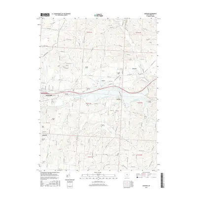
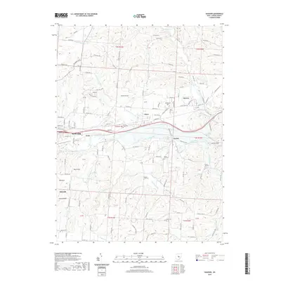
(10)- 2010 Map of Hanover, 2010 Print
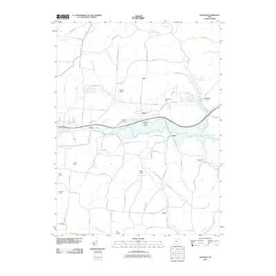 2010 Hanover2010 Print · USGSCovers Hanover Township, including Newark, Heath, and other nearby areas
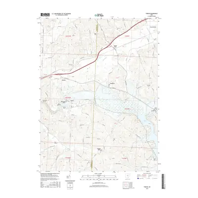
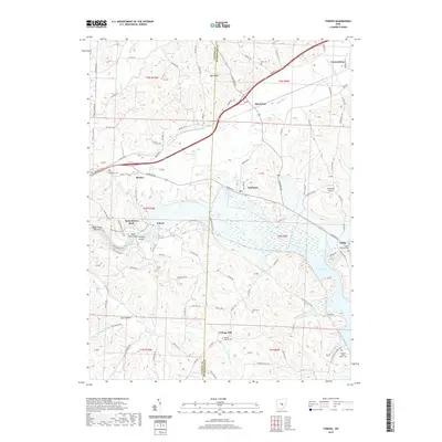
 - 2010 Map of Toboso, 2010 Print
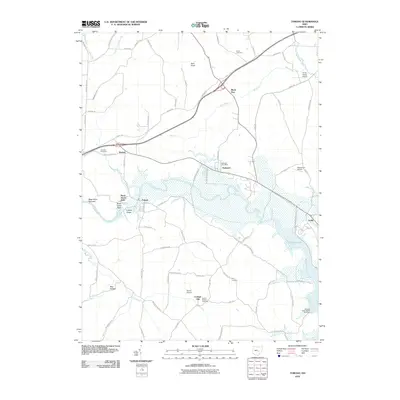 2010 Toboso2010 Print · USGSCovers Hanover Township, including Frazeysburg, Black Run, and other nearby areas
 - 2013 Map of Toboso, 2013 Print
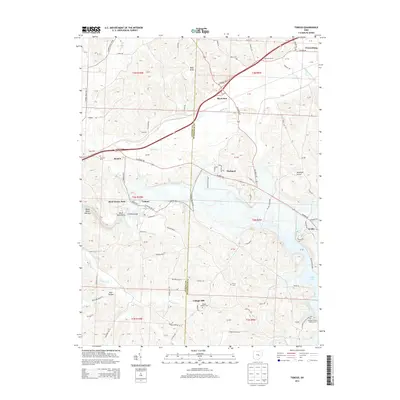 2013 Toboso2013 Print · USGSCovers Hanover Township, including Frazeysburg, Black Run, and other nearby areas
 - 2013 Map of Hanover, 2013 Print
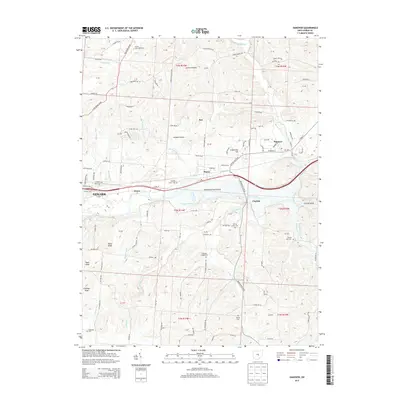 2013 Hanover2013 Print · USGSCovers Hanover Township, including Newark, Heath, and other nearby areas
 - 2016 Map of Hanover, 2016 Print
 2016 Hanover2016 Print · USGSCovers Hanover Township, including Newark, Heath, and other nearby areas
 - 2016 Map of Toboso, 2016 Print
 2016 Toboso2016 Print · USGSCovers Hanover Township, including Frazeysburg, Black Run, and other nearby areas
 - 2019 Map of Hanover, 2019 Print
 2019 Hanover2019 Print · USGSCovers Hanover Township, including Newark, Heath, and other nearby areas
 - 2019 Map of Toboso, 2019 Print
 2019 Toboso2019 Print · USGSCovers Hanover Township, including Frazeysburg, Black Run, and other nearby areas
 - 2023 Map of Toboso, 2023 Print
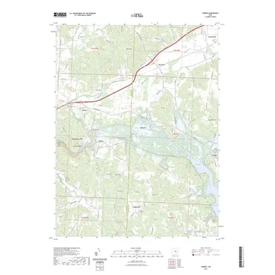 2023 Toboso2023 Print · USGSThe Licking River valley in Muskingum County remains a landscape of high ridges and narrow gorges as it appeared in recent years. Researchers can trace local heritage through numerous sites like Old Stone Church of Christ Cem, Toboso, and the landmark Black Hand Rock.
 - 2023 Map of Hanover, 2023 Print
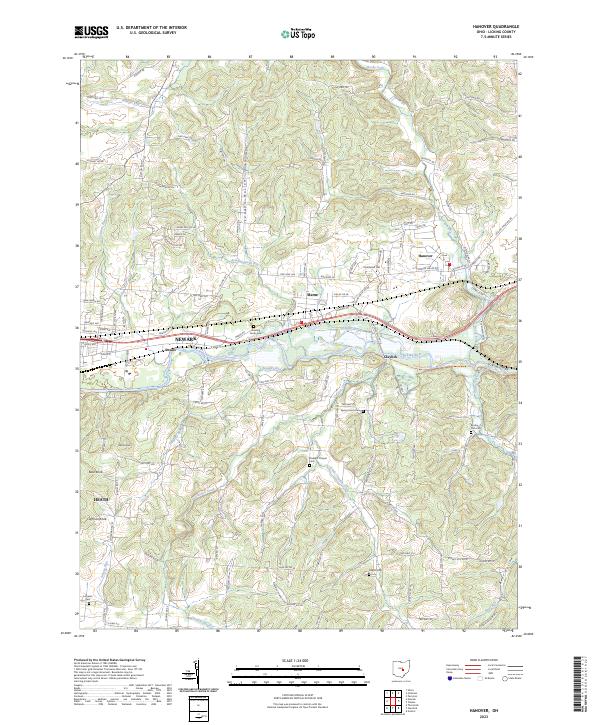 2023 Hanover2023 Print · USGSLicking County’s river valleys and rural crossroads are captured here in the early twenty-first century. Researchers can trace family history at Spring Grove Cem or Pleasant Chapel, and locate landmarks like Licking Gorge and Bald Knob.
End of results
Showing maps 1-10 of 10
Top cities near Hanover Township
- Newark historical maps
- Zanesville historical maps
- Heath historical maps
- Hopewell historical maps
- Utica historical maps
- Dresden historical maps
See more
Top neighborhoods of Hanover Township
- Rock Haven Park historical maps
- Toboso historical maps
- Boston historical maps
- Claylick historical maps
- Hanover historical maps
Frequently asked questions
- What are the different types of historical maps available for Hanover Township?
- What is the oldest map of Hanover Township?
- Where can I purchase historical maps of Hanover Township for my home or office?
- Where can I download high-res historical maps of Hanover Township?
- Are there historical topographic maps available for Hanover Township?
- Is there historical aerial imagery available for Hanover Township?
- Where are historical maps of Hanover Township sourced from?