Old Maps of Sheffield Lake, Ohio for Hiking & Exploration
Hike through history with 26 historic maps of Sheffield Lake. Explore old trails, ghost towns, and forgotten backroads — perfect for outdoor adventurers and local explorers.
- Rediscover forgotten places: Map out old mining camps, roads, and footpaths that no longer exist on modern maps.
- Layer with modern tools: Combine with LiDAR or satellite views to plan hikes through historical terrain.
- Made for exploration: Popular among hikers, overlanders, and local history lovers.
Use these maps to find adventure and explore the hidden past of Sheffield Lake.
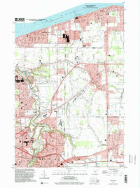
Sheffield Lake, OH maps
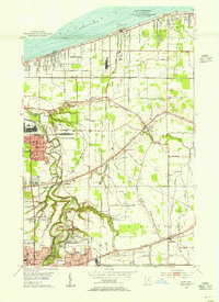
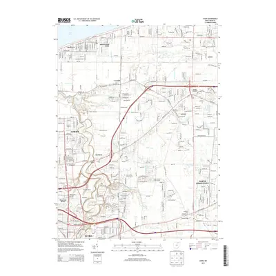
(26)- 1901 Map of Oberlin, 1952 Print
 1901 Oberlin1952 Print · USGSLorain County at the turn of the century shows a bustling corridor of electric interurbans and industrial sandstone quarries. Researchers can trace early railroad junctions at Elyria and Grafton, or locate lakeside settlements like Beach Park and Lake Breeze.3 unique versions available
 - 1903 Map of Oberlin, 1943 Print
 1903 Oberlin1943 Print · USGSLorain County at the turn of the century is a hub of industrial growth and rail transit between the Lake Erie shore and the interior. Trace the complex web of electric lines and steam railroads connecting Lorain, Elyria, and Oberlin, or locate old stone Quarry sites near North Amherst and Grafton.
 - 1953 Map of Avon, 1955 Print
 1953 Avon1955 Print · USGSCoastal Lorain County in the mid-fifties reveals a landscape of growing lakefront towns and historic ridgeline roads. Genealogists and local historians can trace the foundations of Avon Lake, the rural reaches of Shawville, and parish sites like St Teresa Ch.
 - 1956 Map of Toledo, 1968 Print
 1956 Toledo1968 Print · USGSNorthwest Ohio and the Lake Erie shoreline are shown in detail during the late fifties, showcasing a landscape of heavy industry, railroads, and island communities. Genealogists and historians can trace rail networks like the Chesapeake & Ohio RR or locate landmarks such as the Erie Proving Ground and Kelleys Island.4 unique versions available
 - 1960 Map of Lorain, 1961 Print
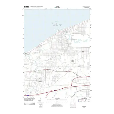
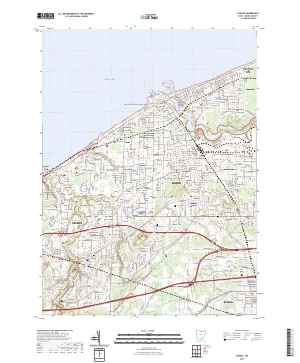
 1960 Lorain1961 Print · USGSLorain and its surrounding industrial suburbs thrived along the Lake Erie shore during the early sixties. Genealogists and historians can trace the foundations of local neighborhoods through dozens of listed schools and churches like St Marys Sch or find family landmarks at Elmwood Cemetery and Penfield Junction.
 - 1961 Map of Toledo
 1961 Toledo1961 Print · USGSThe western basin of Lake Erie and the industrial heart of Northern Ohio are captured here during the post-war era. Researchers can trace historical rail lines like the New York Central or locate landmarks like the Erie Ordnance Depot and Pelee Island.
 - 1963 Map of Avon, 1964 Print
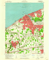
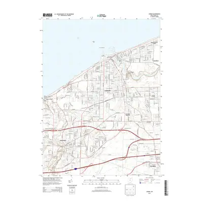
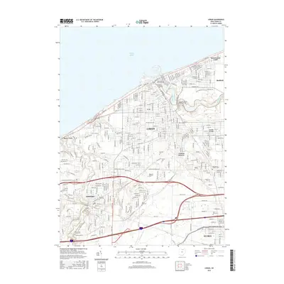
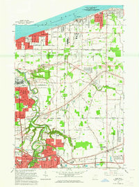 1963 Avon1964 Print · USGSCoastal Lorain County is captured here during a decade of rapid suburban growth between the lakefront and the industrial centers. Researchers can trace the development of Sheffield Lake and Avon Lake, or locate family landmarks like St Teresa Cem and Weiss Field.3 unique versions available
 - 1969 Map of Lorain, 1972 Print
 1969 Lorain1972 Print · USGSThe industrial waterfront of Lorain and Amherst is captured here during the height of the mid-century manufacturing era. Genealogists and historians can trace neighborhood growth through dozens of sites like Elmwood Cemetery, the Turning Basin, and Penfield Junction.3 unique versions available
 - 1986 Map of Put-In-Bay
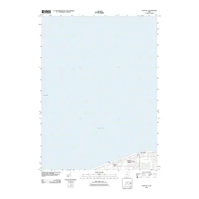
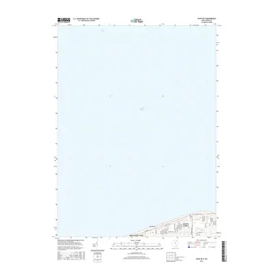
 1986 Put-In-Bay1986 Print · USGSThe Lake Erie archipelago and Ohio shoreline are documented here in the mid-eighties, showing the region's unique maritime and rail connectivity. Trace island life and landmarks like the Marblehead Lighthouse, Put-in-Bay, and Kelleys Island.2 unique versions available
 - 1986 Map of Lorain
 1986 Lorain1986 Print · USGSThe Lake Erie shoreline and North Central Ohio interior are shown in detail during the mid-eighties, from the industrial docks of Lorain to the peninsulas of Sandusky. Researchers can trace historic transport routes like the Baltimore and Ohio Railroad or locate significant landmarks like Oberlin College and Cedar Point.2 unique versions available
 - 1994 Map of Avon, 2000 Print
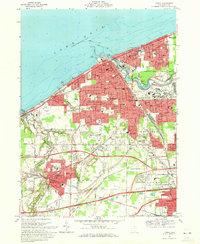
 1994 Avon2000 Print · USGSCoastal Lorain County at the close of the twentieth century shows a landscape defined by Great Lakes industry and rapid suburban growth. Trace family roots and local history at St Teresa Cem or the numerous local schools like St Marys Sch and Brookside High Sch.
 - 2010 Map of Avon, 2010 Print
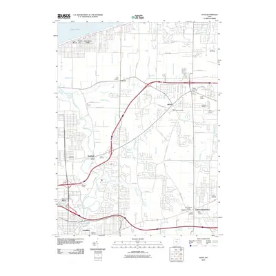 2010 Avon2010 Print · USGSCovers Sheffield Lake, including Lorain, Elyria, and other nearby areas
 - 2010 Map of Lorain, 2010 Print
 2010 Lorain2010 Print · USGSCovers Sheffield Lake, including Lorain, Elyria, and other nearby areas
 - 2010 Map of Avon OE N, 2010 Print
 2010 Avon OE N2010 Print · USGSCovers Sheffield Lake, including Avon Lake, Avon Point, and other nearby areas
 - 2013 Map of Avon, 2013 Print
 2013 Avon2013 Print · USGSCovers Sheffield Lake, including Lorain, Elyria, and other nearby areas
 - 2013 Map of Avon OE N, 2013 Print
 2013 Avon OE N2013 Print · USGSCovers Sheffield Lake, including Avon Lake, Avon Point, and other nearby areas
 - 2013 Map of Lorain, 2013 Print
 2013 Lorain2013 Print · USGSCovers Sheffield Lake, including Lorain, Elyria, and other nearby areas
 - 2016 Map of Lorain, 2016 Print
 2016 Lorain2016 Print · USGSCovers Sheffield Lake, including Lorain, Elyria, and other nearby areas
 - 2016 Map of Avon OE N, 2016 Print
 2016 Avon OE N2016 Print · USGSCovers Sheffield Lake, including Avon Lake, Avon Point, and other nearby areas
 - 2016 Map of Avon, 2016 Print
 2016 Avon2016 Print · USGSCovers Sheffield Lake, including Lorain, Elyria, and other nearby areas
 - 2019 Map of Avon, 2019 Print
 2019 Avon2019 Print · USGSCovers Sheffield Lake, including Lorain, Elyria, and other nearby areas
 - 2019 Map of Lorain, 2019 Print
 2019 Lorain2019 Print · USGSCovers Sheffield Lake, including Lorain, Elyria, and other nearby areas
 - 2019 Map of Avon OE N, 2019 Print
 2019 Avon OE N2019 Print · USGSCovers Sheffield Lake, including Avon Lake, Avon Point, and other nearby areas
 - 2023 Map of Lorain, 2023 Print
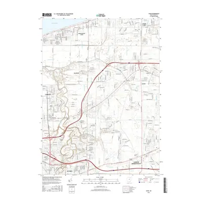
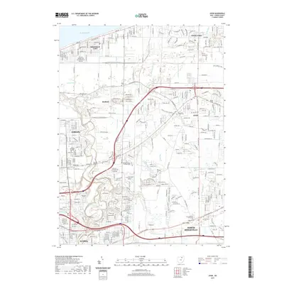
 2023 Lorain2023 Print · USGSLorain and its surrounding lakefront communities are captured here in the early twenty-first century as the industrial landscape meets the shore. Genealogists can trace family records across Elmwood Cemetery, Middle Ridge Cemetery, and Salem Cemetery.
 - 2023 Map of Avon OE N, 2023 Print
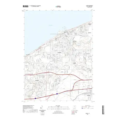
 2023 Avon OE N2023 Print · USGSThe Lake Erie shoreline in Lorain County is captured here in the early twenty-first century, showing the developed lakefront and underwater basins. Trace local lineage at the Lake Shore Cem or follow the suburban growth along Avon Belden Rd and Electric Blvd.
Showing maps 1-25 of 26
Top cities near Sheffield Lake
- Cleveland historical maps
- Lorain historical maps
- Elyria historical maps
- Strongsville historical maps
- North Ridgeville historical maps
- Westlake historical maps
See more
Top neighborhoods of Sheffield Lake
Frequently asked questions
- What are the different types of historical maps available for Sheffield Lake?
- What is the oldest map of Sheffield Lake?
- Where can I purchase historical maps of Sheffield Lake for my home or office?
- Where can I download high-res historical maps of Sheffield Lake?
- Are there historical topographic maps available for Sheffield Lake?
- Is there historical aerial imagery available for Sheffield Lake?
- Where are historical maps of Sheffield Lake sourced from?