Old Maps of Tuscany Estates, Mahoning County for Genealogy
Trace your family roots with 27 historic maps of Tuscany Estates. These high-res maps reveal old neighborhoods, homesites, landmarks, and streets — helping you uncover where your ancestors lived and how the area evolved over time.
- Explore historic neighborhoods: Identify where your relatives may have lived in the 1800s or 1900s.
- Compare maps over time: Trace the changes in streets, buildings, and landmarks for multi-generational research.
- Perfect for genealogy & ancestry research: Used by family historians and researchers to map out lineage and migration.
These maps are an incredible resource for exploring your personal connection to Tuscany Estates's past.
Tuscany Estates, Mahoning County maps
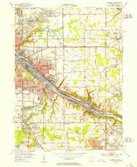
(27)- 1906 Map of Youngstown, 1958 Print
 1906 Youngstown1958 Print · USGSThe Mahoning Valley's industrial heartland is caught at its early twentieth-century peak, showing the massive rail and steel infrastructure at the state border. Researchers can trace the lineage of local neighborhoods and schools like Hell Street School, Idora Park, and Tibbetts Corners.
 - 1907 Map of Columbiana, 1958 Print
 1907 Columbiana1958 Print · USGSColumbiana County at the turn of the century was a bustling corridor of coal, rail, and community life. Genealogists can trace family names at Subrosa School and Mt Zion Church, or locate defunct stops on the Pennsylvania System.
 - 1908 Map of Youngstown, 1937 Print
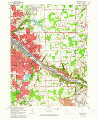
 1908 Youngstown1937 Print · USGSThe Mahoning Valley at the height of its industrial boom is defined by a massive concentration of rail lines and riverfront steel towns. Genealogists and historians can trace the footprint of early neighborhood schools like Bell School, find the original layout of Idora Park, and locate vanished rail stops along the ERIE RAILROAD.2 unique versions available
 - 1909 Map of Columbiana, 1937 Print
 1909 Columbiana1937 Print · USGSThe Ohio-Pennsylvania borderlands are captured here during the peak of the rail era, showing a landscape defined by industry and rural education. Researchers can trace the path of the Pennsylvania System through East Palestine or locate local landmarks like Coalmines and the Subrosa School.2 unique versions available
 - 1950 Map of Cleveland
 1950 Cleveland1950 Print · USGSCovers Tuscany Estates, including Cleveland, Akron, and other nearby areas
 - 1951 Map of Canton
 1951 Canton1951 Print · USGSThe industrial heartland of Ohio and Pennsylvania reached its mid-century peak during this era of heavy rail and river transit. Genealogists and historians can trace the development of steel towns like Aliquippa and Weirton alongside the Ohio River and major lines of the Pennsylvania RR.
 - 1951 Map of Campbell, 1953 Print
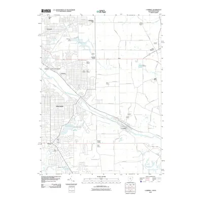
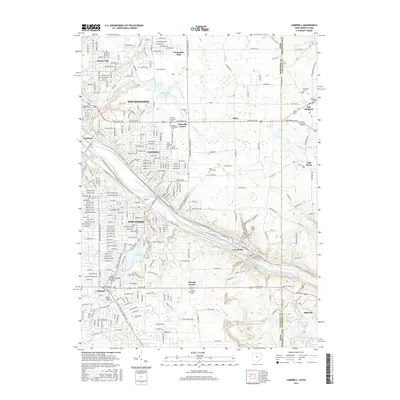
 1951 Campbell1953 Print · USGSThe Mahoning River valley in the early fifties shows a dense industrial corridor of rails and riverside towns on the Ohio-Pennsylvania line. Genealogists can trace family landmarks like White Sch, St Johns Cem, and Holy Rosary Cem.
 - 1951 Map of New Middletown, 1953 Print
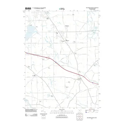
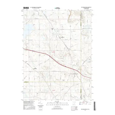
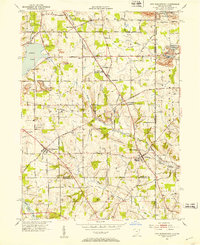 1951 New Middletown1953 Print · USGSEastern Ohio at the dawn of the fifties shows a rural landscape adapting to new interstate travel. Researchers can trace ancestral locations at Bethel Cem, Springfield High Sch, and the emerging corridor of the Ohio Turnpike.
 - 1953 Map of Canton
 1953 Canton1953 Print · USGSThe industrial heartland of Ohio and Pennsylvania is captured at its mid-century peak in this detailed regional survey. Genealogists and historians can trace the vast rail networks of the Pennsylvania RR and find local landmarks like Nimisila Reservoir and Tappan Reservoir.
 - 1956 Map of Cleveland, 1967 Print
 1956 Cleveland1967 Print · USGSNortheast Ohio and Western Pennsylvania are shown at their industrial height during the mid-fifties, from the steel mills to the lakeshore. Researchers can trace the massive Ravenna Arsenal, the Ohio Turnpike, and vanished rail sidings of the B & O RR.3 unique versions available
 - 1957 Map of Canton, 1971 Print
 1957 Canton1971 Print · USGSThe industrial heartland of eastern Ohio and western Pennsylvania comes alive in this mid-century survey of the Ohio River Valley. Trace the heritage of rail and river commerce through Pittsburgh, the massive steel towns along the Ohio River, and major junctions on the Pennsylvania RR.3 unique versions available
 - 1962 Map of Canton
 1962 Canton1962 Print · USGSThe industrial heartland of Eastern Ohio and Western Pennsylvania thrives in the early sixties as steel mills and rail lines dominate the river valleys. Genealogists and historians can trace local landmarks like McKinley National Memorial, Malone College, and industrial sites such as Republic Steel Corp.2 unique versions available
 - 1962 Map of Cleveland
 1962 Cleveland1962 Print · USGSNortheast Ohio and the Pennsylvania borderlands appear here during the industrial peak of the early sixties. Genealogists and historians can trace the expansive rail lines of the Nickel Plate Road and the growth of suburbs from Parma to Lyndhurst.
 - 1963 Map of Campbell, 1964 Print
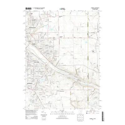
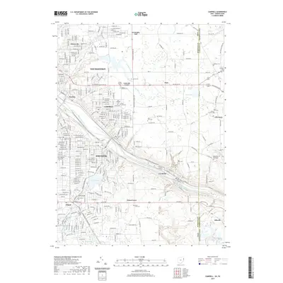
 1963 Campbell1964 Print · USGSThe Mahoning Valley industrial corridor reached a peak of rail and steel development during the early sixties. Genealogists can trace family roots through neighborhood landmarks like Scienceville, the Poland Cemetery, and many local schools from Reed Sch to Haddow Sch.3 unique versions available
 - 1963 Map of New Middletown, 1964 Print
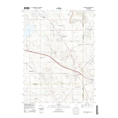
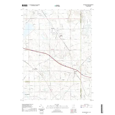
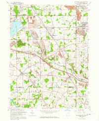 1963 New Middletown1964 Print · USGSThe Mahoning County borderlands come into focus in the early sixties as major turnpikes began to reshape the rural landscape. Researchers can find family-named landmarks and essential community sites like Zion Cem, Bethel Ch, and Springfield Township High Sch.3 unique versions available
 - 1986 Map of East Liverpool
 1986 East Liverpool1986 Print · USGSThe tri-state border region in the 1980s reveals a landscape shaped by the Ohio River and a massive rail network. Researchers can trace the industrial footprint of East Liverpool and Midland or locate inland landmarks like Pine Lake and Strip Mines.2 unique versions available
 - 1986 Map of Youngstown, 1988 Print
 1986 Youngstown1988 Print · USGSThe industrial corridor of the Mahoning Valley and the collegiate towns of Western Pennsylvania are captured here in the mid-eighties. Researchers can trace the rail lines of the Conrail network or locate historical sites like Churchill and Crown Hill Cem.2 unique versions available
 - 2010 Map of Campbell, 2010 Print
 2010 Campbell2010 Print · USGSCovers Tuscany Estates, including Youngstown, Struthers, and other nearby areas
 - 2011 Map of New Middletown, 2011 Print
 2011 New Middletown2011 Print · USGSCovers Tuscany Estates, including Columbiana, New Middletown, and other nearby areas
 - 2013 Map of New Middletown, 2013 Print
 2013 New Middletown2013 Print · USGSCovers Tuscany Estates, including Columbiana, New Middletown, and other nearby areas
 - 2013 Map of Campbell, 2013 Print
 2013 Campbell2013 Print · USGSCovers Tuscany Estates, including Youngstown, Struthers, and other nearby areas
 - 2016 Map of Campbell, 2016 Print
 2016 Campbell2016 Print · USGSCovers Tuscany Estates, including Youngstown, Struthers, and other nearby areas
 - 2016 Map of New Middletown, 2016 Print
 2016 New Middletown2016 Print · USGSCovers Tuscany Estates, including Columbiana, New Middletown, and other nearby areas
 - 2019 Map of Campbell, 2019 Print
 2019 Campbell2019 Print · USGSCovers Tuscany Estates, including Youngstown, Struthers, and other nearby areas
 - 2019 Map of New Middletown, 2019 Print
 2019 New Middletown2019 Print · USGSCovers Tuscany Estates, including Columbiana, New Middletown, and other nearby areas
Showing maps 1-25 of 27
Frequently asked questions
- What are the different types of historical maps available for Tuscany Estates?
- What is the oldest map of Tuscany Estates?
- Where can I purchase historical maps of Tuscany Estates for my home or office?
- Where can I download high-res historical maps of Tuscany Estates?
- Are there historical topographic maps available for Tuscany Estates?
- Is there historical aerial imagery available for Tuscany Estates?
- Where are historical maps of Tuscany Estates sourced from?