Old Maps of Johnsville, New Lebanon for Academic Research
Study the evolution of Johnsville with 10 high-resolution historic maps. Whether you're teaching, researching, or modeling changes in land use, these maps provide essential visual documentation of urban, environmental, and geographic change.
- Analyze long-term change: Track patterns in development, transportation, and natural features.
- Ideal for environmental or urban studies: Support academic projects with primary historical map data.
- Use in the classroom or lab: Educators and researchers rely on these maps to bring historical context to life.
These maps are a powerful tool for teaching, research, and visualizing how Johnsville has changed over the decades.
Johnsville, New Lebanon maps
(10)- 1908 Map of Miamisburg, 1948 Print
 1908 Miamisburg1948 Print · USGSThe Miami Valley at the start of the twentieth century was a hub of electric traction lines and canal history. Genealogists and historians can trace the early layouts of Miamisburg and Franklin, or locate landmarks like Browns Chapel and the National Military Home.
 - 1953 Map of Cincinnati, 1965 Print
 1953 Cincinnati1965 Print · USGSThe Ohio River valley and the industrial heartland of Indiana and Ohio are captured here during the mid-century peak of rail and river commerce. Genealogists and historians can trace connections between Cincinnati and outlying military sites like Camp Atterbury and Bakalar AFB.3 unique versions available
 - 1957 Map of Cincinnati
 1957 Cincinnati1957 Print · USGSThe Ohio River valley and its surrounding highlands thrived during the mid-fifties industrial peak, centered on the bustling Cincinnati and Dayton metropolitan hubs. Researchers can trace the extensive rail networks and military sites like Wright-Patterson AFB and Camp Atterbury.
 - 1960 Map of Farmersville, 1962 Print
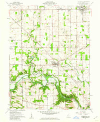 1960 Farmersville1962 Print · USGSFarmersville and western Montgomery County appear in the early 1960s as a landscape of productive farmsteads and managed river valleys. Researchers can trace rural life via the Township Sch, family-named roads like Moses Road, and the Germantown Dam.4 unique versions available
 - 1986 Map of Dayton
 1986 Dayton1986 Print · USGSThe Miami Valley and the Indiana-Ohio borderlands reached a peak of suburban and industrial connectivity in the mid-eighties. Genealogists and historians can trace family burial sites at Miami Memorial Garden (Cem) and the development surrounding Wright-Patterson Air Force Base.2 unique versions available
 - 2010 Map of Farmersville, 2010 Print
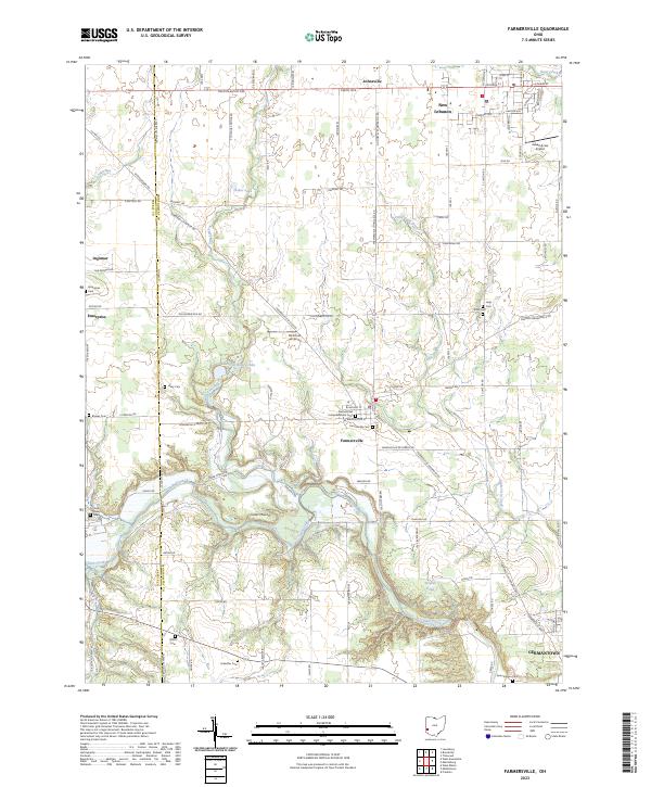
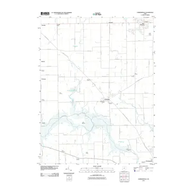 2010 Farmersville2010 Print · USGSCovers Johnsville, including Germantown, New Lebanon, and other nearby areas
 - 2013 Map of Farmersville, 2013 Print
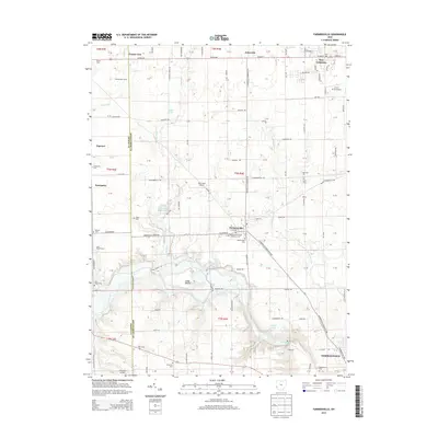 2013 Farmersville2013 Print · USGSCovers Johnsville, including Germantown, New Lebanon, and other nearby areas
 - 2016 Map of Farmersville, 2016 Print
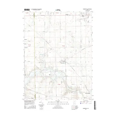 2016 Farmersville2016 Print · USGSCovers Johnsville, including Germantown, New Lebanon, and other nearby areas
 - 2019 Map of Farmersville, 2019 Print
 2019 Farmersville2019 Print · USGSCovers Johnsville, including Germantown, New Lebanon, and other nearby areas
 - 2023 Map of Farmersville, 2023 Print
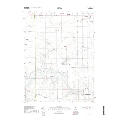
 2023 Farmersville2023 Print · USGSFarmersville and the rolling farmlands of western Montgomery County are shown here in recent detail. Genealogists and local historians can trace the locations of numerous historic burial sites, including Holp Cem, Slifer Cem, and the prominent Farmersville Cem.
End of results
Showing maps 1-10 of 10
Top cities near Johnsville
- Dayton historical maps
- Kettering historical maps
- Middletown historical maps
- Trotwood historical maps
- Centerville historical maps
- Miamisburg historical maps
See more
Frequently asked questions
- What are the different types of historical maps available for Johnsville?
- What is the oldest map of Johnsville?
- Where can I purchase historical maps of Johnsville for my home or office?
- Where can I download high-res historical maps of Johnsville?
- Are there historical topographic maps available for Johnsville?
- Is there historical aerial imagery available for Johnsville?
- Where are historical maps of Johnsville sourced from?