2000s (21st Century) Maps of Chesterhill, Ohio
Explore 6 historic maps of Chesterhill from the 2000s (21st Century). These maps offer a rare glimpse into what life looked like during the 2000s — showing old roads, neighborhoods, homes, and landmarks that have changed or disappeared over time.
Whether you're researching your family's past, planning a metal detecting trip, or studying how Chesterhill's landscape evolved across the 2000s, these high-resolution maps are a powerful tool for exploring the history of this region.
- Focus on a specific era: All maps on this page are from the 2000s, giving you a focused view of this time period.
- See what’s changed: Compare century-old streets, trails, and buildings to today's modern landscape using overlays and satellite layers.
- Research with precision: Use these maps for genealogy, historical research, land use analysis, or educational projects.
- View, download, or print: Maps are fully viewable online in high resolution, and can be downloaded or printed for your own records.
Start exploring Chesterhill's history through authentic maps from the 2000s. This is your window into the past.
Chesterhill, OH maps
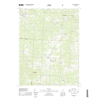
(6)- 2002 Map of Chesterhill, 2006 Print
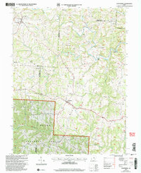 2002 Chesterhill2006 Print · USGSSoutheastern Ohio at the turn of the millennium reveals a landscape of high ridges and deep hollows where three counties meet. Genealogists can trace family names through numerous rural landmarks, including the Friends Cem, Mt Hermon Ch, and the crossroads at Chesterhill.
 - 2011 Map of Chesterhill, 2011 Print
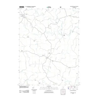 2011 Chesterhill2011 Print · USGSCovers Chesterhill, including Dale, Patten Mills, and other nearby areas
 - 2013 Map of Chesterhill, 2013 Print
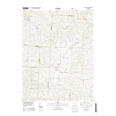 2013 Chesterhill2013 Print · USGSCovers Chesterhill, including Dale, Patten Mills, and other nearby areas
 - 2016 Map of Chesterhill, 2016 Print
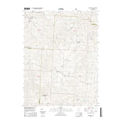 2016 Chesterhill2016 Print · USGSCovers Chesterhill, including Dale, Patten Mills, and other nearby areas
 - 2019 Map of Chesterhill, 2019 Print
 2019 Chesterhill2019 Print · USGSCovers Chesterhill, including Dale, Patten Mills, and other nearby areas
 - 2023 Map of Chesterhill, 2023 Print
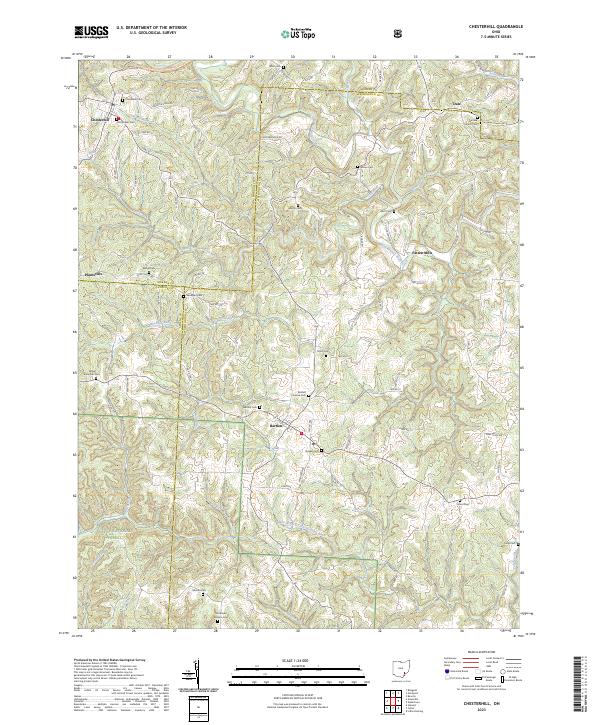 2023 Chesterhill2023 Print · USGSSoutheastern Ohio at the start of the 2020s reveals a landscape defined by deep roots and quiet hills across the Morgan and Washington county lines. Genealogists can trace a remarkable concentration of early burial sites, from Old Quaker Cem to Southland Mission Cem and Patten Mills.
End of results
Showing maps 1-6 of 6
Top cities near Chesterhill
- Athens historical maps
- Barlow historical maps
- Glouster historical maps
- McConnelsville historical maps
- Beverly historical maps
- Malta historical maps
See more
Top neighborhoods of Chesterhill
Frequently asked questions
- What are the different types of historical maps available for Chesterhill?
- What is the oldest map of Chesterhill?
- Where can I purchase historical maps of Chesterhill for my home or office?
- Where can I download high-res historical maps of Chesterhill?
- Are there historical topographic maps available for Chesterhill?
- Is there historical aerial imagery available for Chesterhill?
- Where are historical maps of Chesterhill sourced from?