Old Maps of Liberty Township, Ohio for Genealogy
Trace your family roots with 31 historic maps of Liberty Township. These high-res maps reveal old neighborhoods, homesites, landmarks, and streets — helping you uncover where your ancestors lived and how the area evolved over time.
- Explore historic neighborhoods: Identify where your relatives may have lived in the 1800s or 1900s.
- Compare maps over time: Trace the changes in streets, buildings, and landmarks for multi-generational research.
- Perfect for genealogy & ancestry research: Used by family historians and researchers to map out lineage and migration.
These maps are an incredible resource for exploring your personal connection to Liberty Township's past.
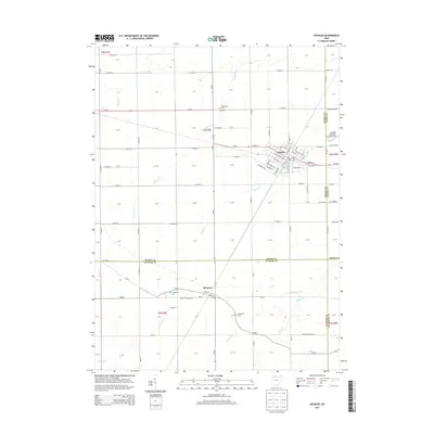
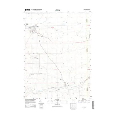
Liberty Township, OH maps
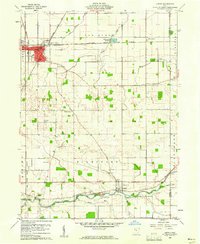
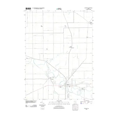
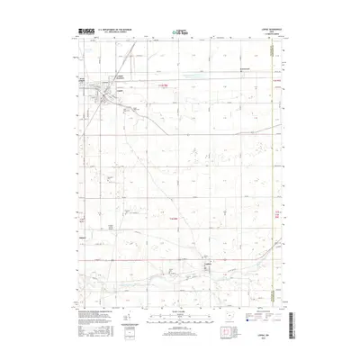
(31)- 1908 Map of Ottawa, 1936 Print
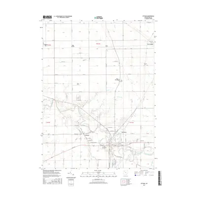
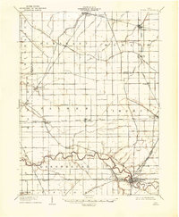 1908 Ottawa1936 Print · USGSNorthwest Ohio's agricultural landscape is seen here in the early twentieth century as a complex network of drainage ditches and competing rail lines. Genealogists can trace family roots in settlements like Glandorf, Miller City, and the rural hub of Ottawa.2 unique versions available
 - 1953 Map of Fort Wayne, 1963 Print
 1953 Fort Wayne1963 Print · USGSNortheast Indiana and its neighboring borderlands in Michigan and Ohio appear here during a peak era of rail and road expansion. Researchers can trace the massive rail networks of the Nickel Plate Road and Wabash or locate lakeside landmarks like Lake Wawasee and Clear Lake.4 unique versions available
 - 1956 Map of Fort Wayne
 1956 Fort Wayne1956 Print · USGSThe tri-state borderlands of Indiana, Michigan, and Ohio are captured here in the mid-fifties, centered on the growing industrial hub of Fort Wayne. Researchers can trace the heavy rail lines of the New York Central and Pennsylvania alongside prominent water features like Lake Wawasee and the Maumee River.2 unique versions available
 - 1956 Map of Toledo, 1968 Print
 1956 Toledo1968 Print · USGSNorthwest Ohio and the Lake Erie shoreline are shown in detail during the late fifties, showcasing a landscape of heavy industry, railroads, and island communities. Genealogists and historians can trace rail networks like the Chesapeake & Ohio RR or locate landmarks such as the Erie Proving Ground and Kelleys Island.4 unique versions available
 - 1960 Map of Deshler, 1961 Print
 1960 Deshler1961 Print · USGSDeshler and Belmore are captured at the height of their rail-era significance in the early 1960s. Researchers can trace the Baltimore and Ohio rail lines, find community landmarks like Oakdale Ch, and locate family plots at Woodlawn Cem.3 unique versions available
 - 1960 Map of Ottawa, 1961 Print
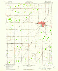
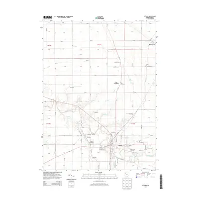
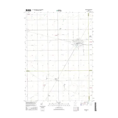
 1960 Ottawa1961 Print · USGSOttawa and Glandorf appear at a mid-century crossroads in this Putnam County survey, where modern developments meet historical land boundaries. Genealogists can locate family sites at SS Peter and Paul Cem or Crow Cem, while rail enthusiasts can trace the Baltimore and Ohio line.3 unique versions available
 - 1960 Map of Hamler, 1961 Print
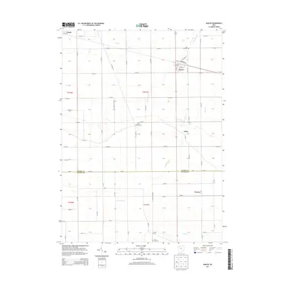
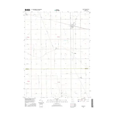
 1960 Hamler1961 Print · USGSNorthwest Ohio at the start of the 1960s was a landscape defined by its rail junctions and extensive drainage systems. You can trace the intersecting lines of the Baltimore and Ohio through Hamler and locate rural landmarks like St Pauls Cem and Zion Ch.2 unique versions available
 - 1960 Map of Leipsic, 1961 Print
 1960 Leipsic1961 Print · USGSPutnam County's rail-and-river landscape is clearly defined in the early sixties at the junction of several major freight lines. Genealogists and local historians can locate early family landmarks such as Cholera Cem, Maidlow Cem, and the County Home.2 unique versions available
 - 1961 Map of Toledo
 1961 Toledo1961 Print · USGSThe western basin of Lake Erie and the industrial heart of Northern Ohio are captured here during the post-war era. Researchers can trace historical rail lines like the New York Central or locate landmarks like the Erie Ordnance Depot and Pelee Island.
 - 1986 Map of Findlay
 1986 Findlay1986 Print · USGSNorthwest Ohio's industrial and agricultural heartland is documented here in the mid-1980s, centered on the major hubs of Findlay, Fostoria, and Tiffin. Researchers can trace the intersections of the BALTIMORE AND OHIO railroad and family sites near Greenlawn Cem or Sagar Ridge.2 unique versions available
 - 1986 Map of Defiance, 1992 Print
 1986 Defiance1992 Print · USGSNorthwest Ohio and Eastern Indiana appear in the late eighties as a landscape shaped by significant river confluences and rail corridors. Researchers can trace the layout of local towns and landmarks like Defiance College, Forest Hill Cem, and the path of the Norfolk and Western RR.
 - 2010 Map of Leipsic, 2010 Print
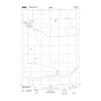 2010 Leipsic2010 Print · USGSCovers Liberty Township, including Leipsic, West Leipsic, and other nearby areas
 - 2010 Map of Deshler, 2010 Print
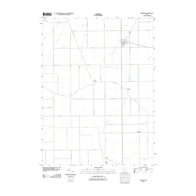
 2010 Deshler2010 Print · USGSCovers Liberty Township, including Leipsic, Deshler, and other nearby areas
 - 2010 Map of Hamler, 2010 Print
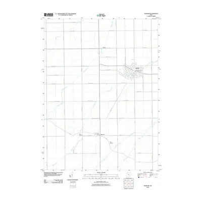
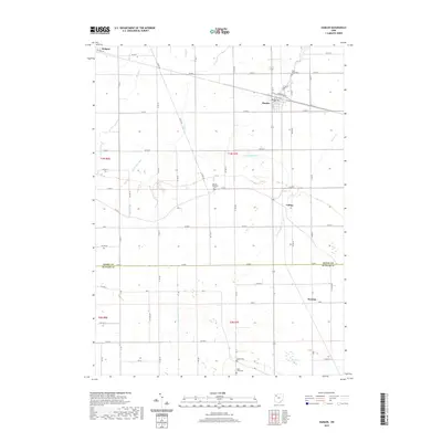
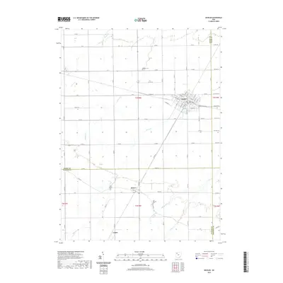
 2010 Hamler2010 Print · USGSCovers Liberty Township, including Holgate, Hamler, and other nearby areas
 - 2010 Map of Ottawa, 2010 Print
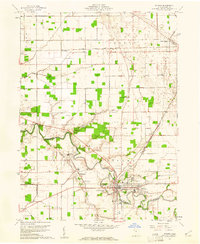
 2010 Ottawa2010 Print · USGSCovers Liberty Township, including Ottawa, Glandorf, and other nearby areas
 - 2013 Map of Deshler, 2013 Print
 2013 Deshler2013 Print · USGSCovers Liberty Township, including Leipsic, Deshler, and other nearby areas
 - 2013 Map of Leipsic, 2013 Print
 2013 Leipsic2013 Print · USGSCovers Liberty Township, including Leipsic, West Leipsic, and other nearby areas
 - 2013 Map of Ottawa, 2013 Print
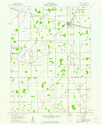
 2013 Ottawa2013 Print · USGSCovers Liberty Township, including Ottawa, Glandorf, and other nearby areas
 - 2013 Map of Hamler, 2013 Print
 2013 Hamler2013 Print · USGSCovers Liberty Township, including Holgate, Hamler, and other nearby areas
 - 2016 Map of Deshler, 2016 Print
 2016 Deshler2016 Print · USGSCovers Liberty Township, including Leipsic, Deshler, and other nearby areas
 - 2016 Map of Hamler, 2016 Print
 2016 Hamler2016 Print · USGSCovers Liberty Township, including Holgate, Hamler, and other nearby areas
 - 2016 Map of Ottawa, 2016 Print
 2016 Ottawa2016 Print · USGSCovers Liberty Township, including Ottawa, Glandorf, and other nearby areas
 - 2016 Map of Leipsic, 2016 Print
 2016 Leipsic2016 Print · USGSCovers Liberty Township, including Leipsic, West Leipsic, and other nearby areas
 - 2019 Map of Hamler, 2019 Print
 2019 Hamler2019 Print · USGSCovers Liberty Township, including Holgate, Hamler, and other nearby areas
 - 2019 Map of Deshler, 2019 Print
 2019 Deshler2019 Print · USGSCovers Liberty Township, including Leipsic, Deshler, and other nearby areas
Showing maps 1-25 of 31
Top cities near Liberty Township
- Ottawa historical maps
- Bluffton historical maps
- Leipsic historical maps
- Columbus Grove historical maps
- Deshler historical maps
- Pandora historical maps
See more
Top neighborhoods of Liberty Township
Frequently asked questions
- What are the different types of historical maps available for Liberty Township?
- What is the oldest map of Liberty Township?
- Where can I purchase historical maps of Liberty Township for my home or office?
- Where can I download high-res historical maps of Liberty Township?
- Are there historical topographic maps available for Liberty Township?
- Is there historical aerial imagery available for Liberty Township?
- Where are historical maps of Liberty Township sourced from?