Old Maps of Rimer, Sugar Creek Township for Metal Detecting
Plan your next treasure hunt with 11 historic maps of Rimer. Find old homesites, ghost towns, trails, and gathering spots that may be lost to time — perfect for identifying promising metal detecting locations.
- Locate forgotten sites: Uncover places like long-lost settlements, abandoned rail lines, or gathering spots.
- Plan better hunts: Use map overlays combined with LiDAR or satellite views to narrow in on historically rich areas.
- Made for detectorists: Thousands of hobbyists use these maps to discover relics, coins, and hidden history.
Use these historic maps to boost your research and find new opportunities beneath the surface of Rimer.
Rimer, Sugar Creek Township maps
(11)- 1906 Map of Columbus Grove, 1956 Print
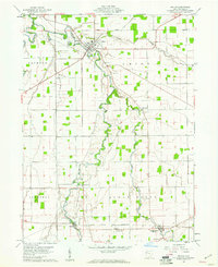
 1906 Columbus Grove1956 Print · USGSIn the early twentieth century, Putnam and Allen Counties were centers of Ohio's rail and pike expansion. Researchers can trace historic transportation lines like the Ohio Electric Railway and locate long-standing community landmarks such as Leatherwood Church, Kalida, and Slabtown.
 - 1908 Map of Columbus Grove, 1932 Print
 1908 Columbus Grove1932 Print · USGSNorthwestern Ohio at the start of the century reveals a landscape undergoing a rapid rail-driven expansion. Researchers can trace the path of the Lima and Pittsburg Electric RR and locate rural landmarks like the Leatherwood Church or the County Infirmary.
 - 1953 Map of Muncie, 1966 Print
 1953 Muncie1966 Print · USGSIndiana and Ohio borderlands thrive in the early fifties, showing a landscape defined by manufacturing cities and an intensive railroad network. Genealogists can trace family roots across the Indiana-Ohio line through Muncie, Celina, and Portland via the Pennsylvania railroad.5 unique versions available
 - 1956 Map of Muncie
 1956 Muncie1956 Print · USGSEastern Indiana and western Ohio are shown at a peak of rail-driven industry in the mid-fifties. Genealogists and rail historians can trace the paths of the Pennsylvania RR through Muncie or locate landmarks like Lake Saint Marys (Grand Lake Reservoir) and Frances Slocum State Forest.
 - 1960 Map of Kalida, 1961 Print
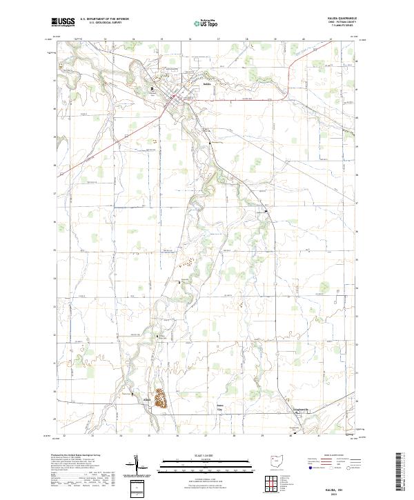
 1960 Kalida1961 Print · USGSPutnam County's agricultural heartland is captured here at the start of the 1960s, centered on the confluence of the Ottawa River and Plum Creek. Genealogists can trace family footprints across several rural burial grounds like Hughes Cem and Reynolds Cem or along the southern Akron Canton and Youngstown rail line.2 unique versions available
 - 1986 Map of Lima
 1986 Lima1986 Print · USGSWest Ohio and East Indiana are captured here in the mid-1980s, showcasing a landscape of productive farmland and industrial transit hubs. Genealogists and historians can trace the development of Lima and Van Wert or locate landmarks like Woodland Chapel and the Lima Ordnance Modification Center.3 unique versions available
 - 2010 Map of Kalida, 2010 Print
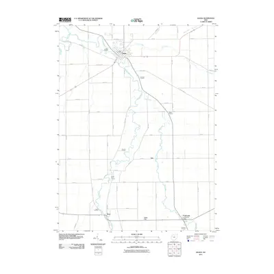 2010 Kalida2010 Print · USGSCovers Rimer, including Kalida, Seitz, and other nearby areas
 - 2013 Map of Kalida, 2013 Print
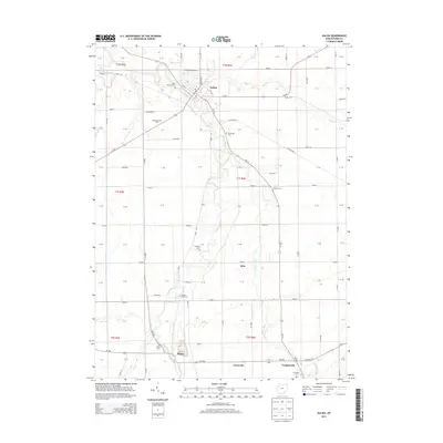 2013 Kalida2013 Print · USGSCovers Rimer, including Kalida, Seitz, and other nearby areas
 - 2016 Map of Kalida, 2016 Print
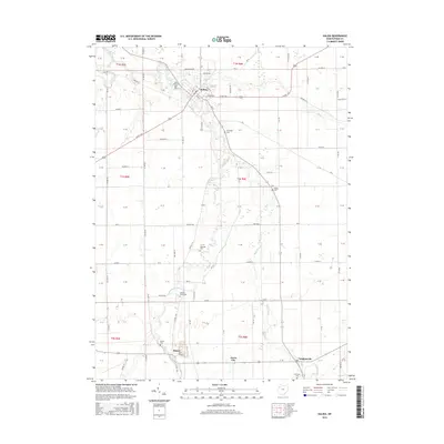 2016 Kalida2016 Print · USGSCovers Rimer, including Kalida, Seitz, and other nearby areas
 - 2019 Map of Kalida, 2019 Print
 2019 Kalida2019 Print · USGSCovers Rimer, including Kalida, Seitz, and other nearby areas
 - 2023 Map of Kalida, 2023 Print
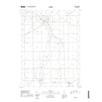
 2023 Kalida2023 Print · USGSSettlement and farming in Putnam County are mapped here in the modern era, showing the river-fed plains of Northwest Ohio. Researchers can locate numerous local burial grounds like Saint Michaels Cem and family-named landmarks such as Reynolds Cem or Jones City.
End of results
Showing maps 1-11 of 11
Top cities near Rimer
- Lima historical maps
- Delphos historical maps
- Ottawa historical maps
- Fort Shawnee historical maps
- Leipsic historical maps
- Spencerville historical maps
See more
Frequently asked questions
- What are the different types of historical maps available for Rimer?
- What is the oldest map of Rimer?
- Where can I purchase historical maps of Rimer for my home or office?
- Where can I download high-res historical maps of Rimer?
- Are there historical topographic maps available for Rimer?
- Is there historical aerial imagery available for Rimer?
- Where are historical maps of Rimer sourced from?