Old Maps of Leipsic, Van Buren Township for Metal Detecting
Plan your next treasure hunt with 15 historic maps of Leipsic. Find old homesites, ghost towns, trails, and gathering spots that may be lost to time — perfect for identifying promising metal detecting locations.
- Locate forgotten sites: Uncover places like long-lost settlements, abandoned rail lines, or gathering spots.
- Plan better hunts: Use map overlays combined with LiDAR or satellite views to narrow in on historically rich areas.
- Made for detectorists: Thousands of hobbyists use these maps to discover relics, coins, and hidden history.
Use these historic maps to boost your research and find new opportunities beneath the surface of Leipsic.
Leipsic, Van Buren Township maps
(15)- 1956 Map of Toledo, 1968 Print
 1956 Toledo1968 Print · USGSNorthwest Ohio and the Lake Erie shoreline are shown in detail during the late fifties, showcasing a landscape of heavy industry, railroads, and island communities. Genealogists and historians can trace rail networks like the Chesapeake & Ohio RR or locate landmarks such as the Erie Proving Ground and Kelleys Island.4 unique versions available
 - 1960 Map of Deshler, 1961 Print
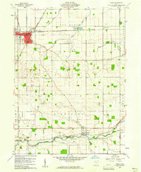
 1960 Deshler1961 Print · USGSDeshler and Belmore are captured at the height of their rail-era significance in the early 1960s. Researchers can trace the Baltimore and Ohio rail lines, find community landmarks like Oakdale Ch, and locate family plots at Woodlawn Cem.3 unique versions available
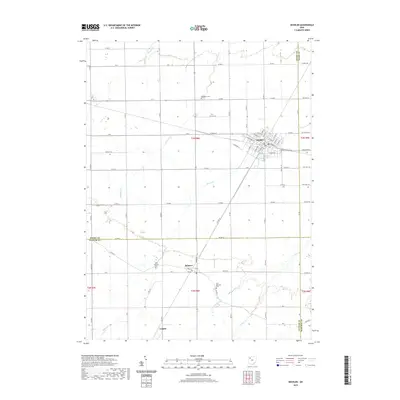
 - 1960 Map of Leipsic, 1961 Print
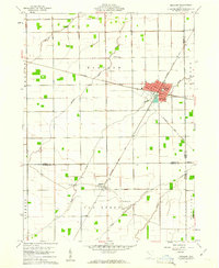
 1960 Leipsic1961 Print · USGSPutnam County's rail-and-river landscape is clearly defined in the early sixties at the junction of several major freight lines. Genealogists and local historians can locate early family landmarks such as Cholera Cem, Maidlow Cem, and the County Home.2 unique versions available
 - 1961 Map of Toledo
 1961 Toledo1961 Print · USGSThe western basin of Lake Erie and the industrial heart of Northern Ohio are captured here during the post-war era. Researchers can trace historical rail lines like the New York Central or locate landmarks like the Erie Ordnance Depot and Pelee Island.
 - 1986 Map of Findlay
 1986 Findlay1986 Print · USGSNorthwest Ohio's industrial and agricultural heartland is documented here in the mid-1980s, centered on the major hubs of Findlay, Fostoria, and Tiffin. Researchers can trace the intersections of the BALTIMORE AND OHIO railroad and family sites near Greenlawn Cem or Sagar Ridge.2 unique versions available
 - 2010 Map of Leipsic, 2010 Print
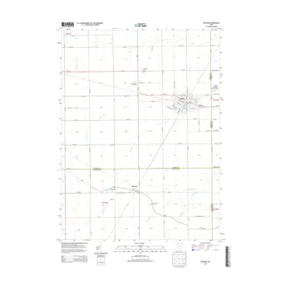
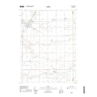
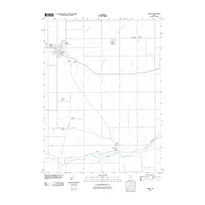 2010 Leipsic2010 Print · USGSCovers Leipsic, including West Leipsic, Gilboa, and other nearby areas
 - 2010 Map of Deshler, 2010 Print
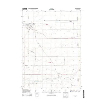
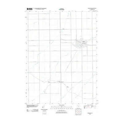 2010 Deshler2010 Print · USGSCovers Leipsic, including Deshler, Belmore, and other nearby areas
 - 2013 Map of Deshler, 2013 Print
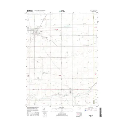
 2013 Deshler2013 Print · USGSCovers Leipsic, including Deshler, Belmore, and other nearby areas
 - 2013 Map of Leipsic, 2013 Print
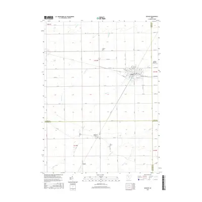
 2013 Leipsic2013 Print · USGSCovers Leipsic, including West Leipsic, Gilboa, and other nearby areas
 - 2016 Map of Deshler, 2016 Print
 2016 Deshler2016 Print · USGSCovers Leipsic, including Deshler, Belmore, and other nearby areas
 - 2016 Map of Leipsic, 2016 Print
 2016 Leipsic2016 Print · USGSCovers Leipsic, including West Leipsic, Gilboa, and other nearby areas
 - 2019 Map of Deshler, 2019 Print
 2019 Deshler2019 Print · USGSCovers Leipsic, including Deshler, Belmore, and other nearby areas
 - 2019 Map of Leipsic, 2019 Print
 2019 Leipsic2019 Print · USGSCovers Leipsic, including West Leipsic, Gilboa, and other nearby areas
 - 2023 Map of Leipsic, 2023 Print
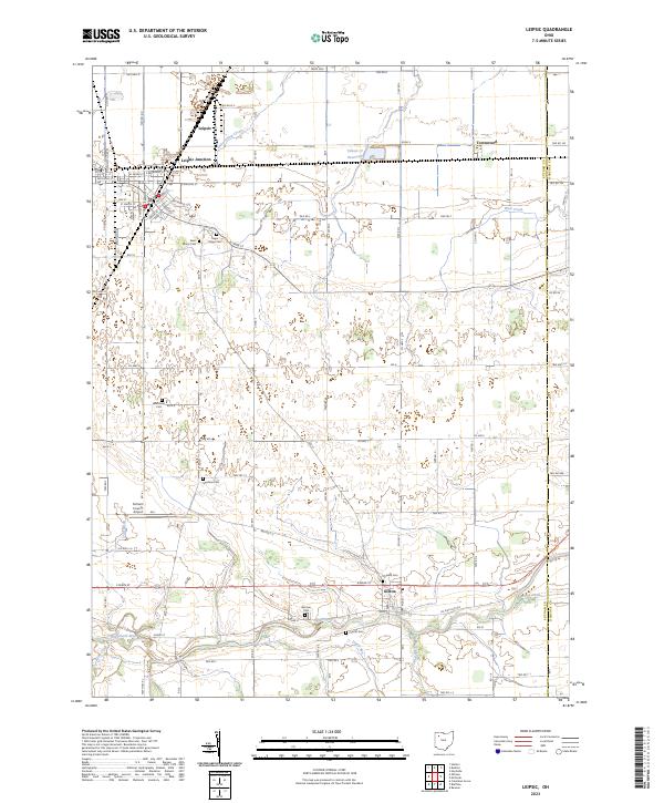 2023 Leipsic2023 Print · USGSThe rail-and-river landscape of Putnam County comes into focus in this recent survey of Leipsic and Gilboa. Genealogists and historians can trace numerous family and community burial sites, including Sugar Ridge Cem and the distinctive Cholera Cem.
 - 2023 Map of Deshler, 2023 Print
 2023 Deshler2023 Print · USGSNorthwestern Ohio's agricultural landscape is documented here in the early twenty-first century, showing the village of Deshler and its surrounding townships. Genealogists and local researchers can locate Woodlawn Cem and Belmore, while tracing the paths of Brush Creek and Hammer Creek.
End of results
Showing maps 1-15 of 15
Top cities near Leipsic
- Ottawa historical maps
- Bluffton historical maps
- Columbus Grove historical maps
- Deshler historical maps
- McComb historical maps
- Pandora historical maps
See more
Top neighborhoods of Leipsic
Frequently asked questions
- What are the different types of historical maps available for Leipsic?
- What is the oldest map of Leipsic?
- Where can I purchase historical maps of Leipsic for my home or office?
- Where can I download high-res historical maps of Leipsic?
- Are there historical topographic maps available for Leipsic?
- Is there historical aerial imagery available for Leipsic?
- Where are historical maps of Leipsic sourced from?