Old Maps of Mansfield, Ohio
Explore 17 old maps of Mansfield, spanning from 1908 to today. These high-resolution historic maps reveal how streets, neighborhoods, landmarks, and natural features evolved over time — perfect for genealogy, metal detecting, research, and local history exploration.
What you can do with these maps:
- See how Mansfield changed over time: Compare historical maps to modern-day views to trace roads, homesites, rail lines & more.
- View detailed metadata: Each map includes creators, publishers, year, scale, and archive source.
- Overlay maps with satellite & LiDAR: Visualize the past alongside modern tools to explore terrain & human change.
- Trusted historical sources: Maps sourced from the USGS, Library of Congress, and other archives.
- Access maps your way: View online, download high-res files, or order prints for personal or research use.
Start exploring old maps of Mansfield to uncover forgotten places, hidden landmarks, and the deep history beneath your feet.
Mansfield, OH maps
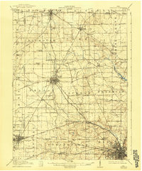
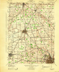
(17)- 1908 Map of Ashland
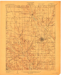 1908 Ashland1908 Print · USGSCovers Mansfield, including Ashland, Bailey Lakes, and other nearby areas2 unique versions available
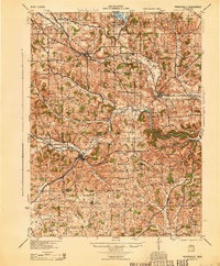
 - 1912 Map of Perrysville, 1959 Print
 1912 Perrysville1959 Print · USGSCovers Mansfield, including Loudonville, Bellville, and other nearby areas
 - 1915 Map of Crestline, 1943 Print
 1915 Crestline1943 Print · USGSCovers Mansfield, including Galion, Shelby, and other nearby areas
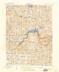
 - 1915 Map of Perrysville, 1944 Print
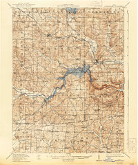 1915 Perrysville1944 Print · USGSCovers Mansfield, including Loudonville, Bellville, and other nearby areas
 - 1915 Map of Shauck, 1946 Print
 1915 Shauck1946 Print · USGSCovers Mansfield, including Galion, Ontario, and other nearby areas
 - 1943 Map of Shauck
 1943 Shauck1943 Print · USGSCovers Mansfield, including Galion, Ontario, and other nearby areas
 - 1943 Map of Crestline
 1943 Crestline1943 Print · USGSCovers Mansfield, including Galion, Shelby, and other nearby areas2 unique versions available
 - 1944 Map of Perrysville
 1944 Perrysville1944 Print · USGSCovers Mansfield, including Loudonville, Bellville, and other nearby areas
 - 1950 Map of Marion
 1950 Marion1950 Print · USGSCovers Mansfield, including Columbus, Newark, and other nearby areas
 - 1960 Map of Pavonia, 1962 Print
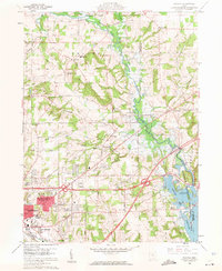 1960 Pavonia1962 Print · USGSCovers Mansfield, including Mifflin Township, Madison Township, and other nearby areas3 unique versions available
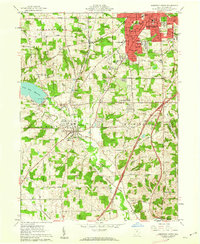
 - 1960 Map of Mansfield North, 1962 Print
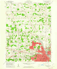 1960 Mansfield North1962 Print · USGSCovers Mansfield, including Ontario, Madison Township, and other nearby areas4 unique versions available
 - 1961 Map of Mansfield South, 1962 Print
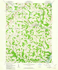
 1961 Mansfield South1962 Print · USGSCovers Mansfield, including Ontario, Lexington, and other nearby areas5 unique versions available
 - 1961 Map of Lucas, 1963 Print
 1961 Lucas1963 Print · USGSCovers Mansfield, including Lucas, Mifflin Township, and other nearby areas3 unique versions available
 - 1962 Map of Marion
 1962 Marion1962 Print · USGSCovers Mansfield, including Columbus, Newark, and other nearby areas
 - 1966 Map of Marion, 1968 Print
 1966 Marion1968 Print · USGSCovers Mansfield, including Columbus, Newark, and other nearby areas3 unique versions available
 - 1986 Map of Mansfield
 1986 Mansfield1986 Print · USGSCovers Mansfield, including Ashland, Bucyrus, and other nearby areas
 - 1994 Map of Mansfield
 1994 Mansfield1994 Print · USGSCovers Mansfield, including Ashland, Bucyrus, and other nearby areas
End of results
Showing maps 1-17 of 17
Top cities near Mansfield
- Ashland historical maps
- Galion historical maps
- Shelby historical maps
- Ontario historical maps
- Crestline historical maps
- Lexington historical maps
See more
Top neighborhoods of Mansfield
- South Boulevards historical maps
- Carrousel District historical maps
- Mansfield Central Park District historical maps
- Downtown historical maps
Frequently asked questions
- What are the different types of historical maps available for Mansfield?
- What is the oldest map of Mansfield?
- Where can I purchase historical maps of Mansfield for my home or office?
- Where can I download high-res historical maps of Mansfield?
- Are there historical topographic maps available for Mansfield?
- Is there historical aerial imagery available for Mansfield?
- Where are historical maps of Mansfield sourced from?