Old Maps of Rarden, Ohio
Explore 12 old maps of Rarden, spanning from 1915 to today. These high-resolution historic maps reveal how streets, neighborhoods, landmarks, and natural features evolved over time — perfect for genealogy, metal detecting, research, and local history exploration.
What you can do with these maps:
- See how Rarden changed over time: Compare historical maps to modern-day views to trace roads, homesites, rail lines & more.
- View detailed metadata: Each map includes creators, publishers, year, scale, and archive source.
- Overlay maps with satellite & LiDAR: Visualize the past alongside modern tools to explore terrain & human change.
- Trusted historical sources: Maps sourced from the USGS, Library of Congress, and other archives.
- Access maps your way: View online, download high-res files, or order prints for personal or research use.
Start exploring old maps of Rarden to uncover forgotten places, hidden landmarks, and the deep history beneath your feet.
Rarden, OH maps
(12)- 1915 Map of Otway, 1958 Print
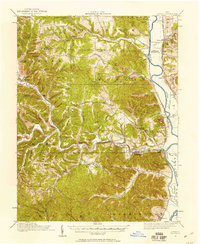 1915 Otway1958 Print · USGSScioto and Pike Counties come alive in the decade before the First World War, showing a rural landscape anchored by the river and the rail. Researchers can trace dozens of country schoolhouses like Wetmore School and old rail stops at Otway or McDermott.2 unique versions available
 - 1917 Map of Otway, 1941 Print
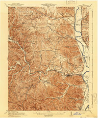 1917 Otway1941 Print · USGSScioto and Pike Counties are shown in great detail during the era of steam railroading and rural schoolhouses. You can trace the Norfolk and Western RR through Otway or locate family roots at sites like Hackworth Hill School and McDermott.
 - 1957 Map of Huntington, 1966 Print
 1957 Huntington1966 Print · USGSThe industrial heart of the Ohio River valley is captured here in the mid-sixties, showing the growth of Huntington and Ashland. Researchers can trace the extensive rail networks of the Chesapeake and Ohio RR and locate sites like the Chief Cornstalk Hunting Ground.3 unique versions available
 - 1960 Map of Huntington
 1960 Huntington1960 Print · USGSThe tri-state river valley thrived in the late fifties as a hub of heavy industry and Appalachian rail transit. Genealogists and historians can trace the connection between river towns like Ashland and Portsmouth or locate family homesteads near Coleman Ridge.
 - 1961 Map of Rarden, 1963 Print
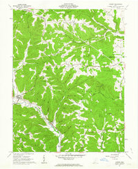 1961 Rarden1963 Print · USGSScioto County during the early 1960s was a landscape of deep timber and winding hollows, largely defined by the Brush Creek State Forest. You can trace old family burial grounds like Old Hackworth Cem and follow the Norfolk and Western rail line through Rarden.4 unique versions available
 - 1986 Map of Maysville
 1986 Maysville1986 Print · USGSThe Ohio River valley in the mid-eighties reveals a landscape of industrial river towns and sprawling public lands spanning the Kentucky and Ohio border. Researchers can trace the rail corridors of the Chesapeake and Ohio Railway or locate landmarks like Confidence Cemetery and the Fleming-Mason Airport.
 - 1991 Map of Maysville
 1991 Maysville1991 Print · USGSThe Ohio River valley at the turn of the nineties reveals a landscape of river-bend towns and dense forest preserves. Trace local history through landmark sites like Confidence Cemetery, the small-town streets of Ripley, and the river reaches of Manchester Island No 1.
 - 2010 Map of Rarden, 2010 Print
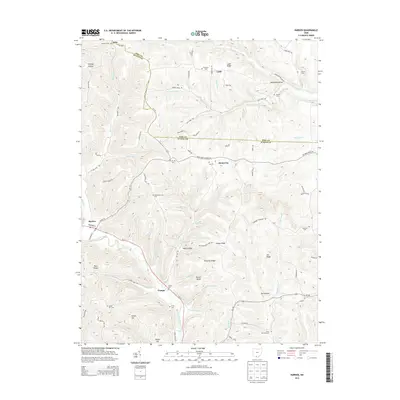
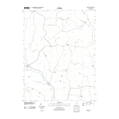 2010 Rarden2010 Print · USGSCovers Rarden, including Scioto County, Pike County, and other nearby areas
 - 2013 Map of Rarden, 2013 Print
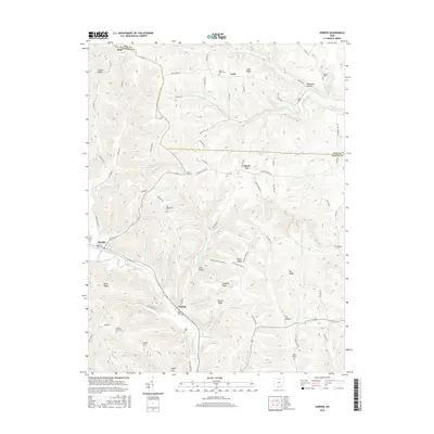
 2013 Rarden2013 Print · USGSCovers Rarden, including Scioto County, Pike County, and other nearby areas
 - 2016 Map of Rarden, 2016 Print
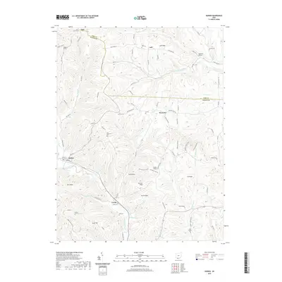
 2016 Rarden2016 Print · USGSCovers Rarden, including Scioto County, Pike County, and other nearby areas
 - 2019 Map of Rarden, 2019 Print
 2019 Rarden2019 Print · USGSCovers Rarden, including Scioto County, Pike County, and other nearby areas
 - 2023 Map of Rarden, 2023 Print
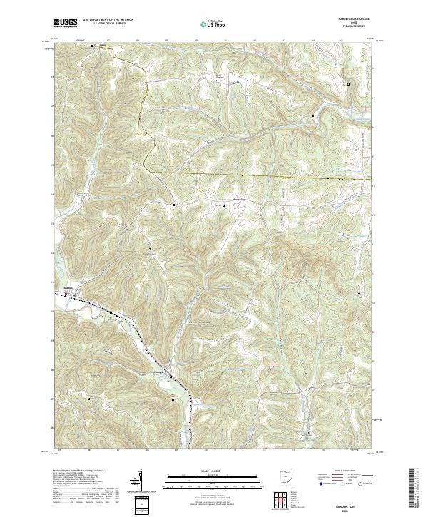 2023 Rarden2023 Print · USGSSouthern Ohio's dissected hills are captured here in the early twenty-first century, showing the rural communities of Rarden and Mount Joy. Family researchers can locate numerous burial sites, including Old Hackworth Cem and Saint Patricks Cem, among the hollows.
End of results
Showing maps 1-12 of 12
Top cities near Rarden
Frequently asked questions
- What are the different types of historical maps available for Rarden?
- What is the oldest map of Rarden?
- Where can I purchase historical maps of Rarden for my home or office?
- Where can I download high-res historical maps of Rarden?
- Are there historical topographic maps available for Rarden?
- Is there historical aerial imagery available for Rarden?
- Where are historical maps of Rarden sourced from?