2020s Maps of Adams Township, Ohio
Explore 4 historic maps of Adams Township from the 2020s. These maps offer a rare glimpse into what life looked like during the 2020s — showing old roads, neighborhoods, homes, and landmarks that have changed or disappeared over time.
Whether you're researching your family's past, planning a metal detecting trip, or studying how Adams Township's landscape evolved across the 2020s, these high-resolution maps are a powerful tool for exploring the history of this region.
- Focus on a specific era: All maps on this page are from the 2020s, giving you a focused view of this time period.
- See what’s changed: Compare century-old streets, trails, and buildings to today's modern landscape using overlays and satellite layers.
- Research with precision: Use these maps for genealogy, historical research, land use analysis, or educational projects.
- View, download, or print: Maps are fully viewable online in high resolution, and can be downloaded or printed for your own records.
Start exploring Adams Township's history through authentic maps from the 2020s. This is your window into the past.
Adams Township, OH maps
(4)- 2023 Map of Fremont East, 2023 Print
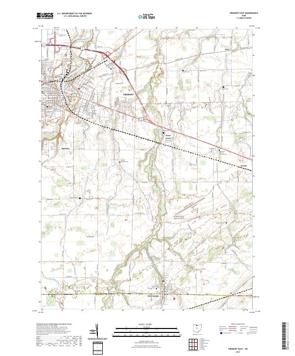 2023 Fremont East2023 Print · USGSFremont and the surrounding Sandusky County farmlands are documented here in the early twenty-first century, showing the enduring layout of these historic Ohio settlements. Researchers can locate numerous family burial sites such as Dana Cem and Bakertown Cem or trace the course of Bark Creek through the rural townships.
 - 2023 Map of Watson, 2023 Print
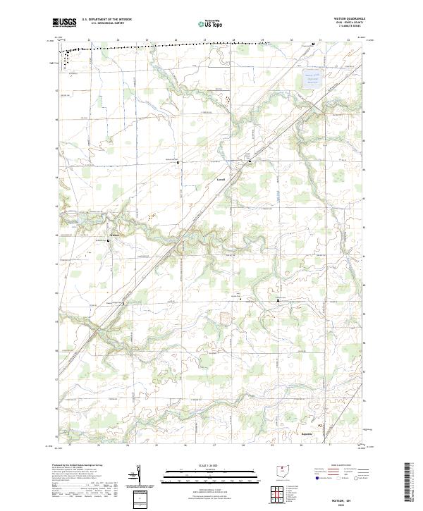 2023 Watson2023 Print · USGSSeneca County's agricultural heartland is documented here in the early twenty-first century, showing the enduring structure of its rural townships. Genealogists can locate several historic burial sites like Bunker Hill Cem and Coffman Cem alongside the waters of Sugar Creek.
 - 2023 Map of Fireside, 2023 Print
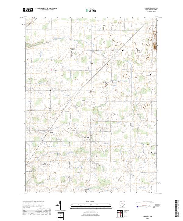 2023 Fireside2023 Print · USGSSeneca County's agricultural heartland is documented here in the early twenty-first century, showing a landscape defined by drainage ditches and rural roads. Researchers can locate many small burial sites like Fireside Cem and Armstrong Cem, or the Bandit Field Airdrome.
 - 2023 Map of Clyde, 2023 Print
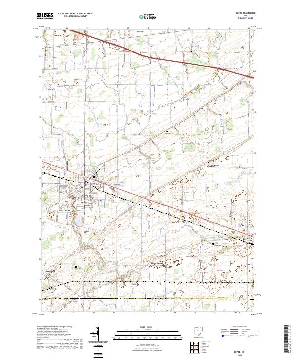 2023 Clyde2023 Print · USGSSandusky County in the early twenty-first century is captured here as a landscape of established towns and rural intersections. Genealogists and local researchers can locate numerous burial sites and family landmarks, from McPherson Cem in Clyde to the York Free Chapel Cem near Bellevue.
End of results
Showing maps 1-4 of 4
Top cities near Adams Township
- Tiffin historical maps
- Fremont historical maps
- Green Creek historical maps
- Ballville historical maps
- Clyde historical maps
- Bellevue historical maps
See more
Top neighborhoods of Adams Township
Frequently asked questions
- What are the different types of historical maps available for Adams Township?
- What is the oldest map of Adams Township?
- Where can I purchase historical maps of Adams Township for my home or office?
- Where can I download high-res historical maps of Adams Township?
- Are there historical topographic maps available for Adams Township?
- Is there historical aerial imagery available for Adams Township?
- Where are historical maps of Adams Township sourced from?