2000s (21st Century) Maps of Munroe Falls, Ohio
Explore 10 historic maps of Munroe Falls from the 2000s (21st Century). These maps offer a rare glimpse into what life looked like during the 2000s — showing old roads, neighborhoods, homes, and landmarks that have changed or disappeared over time.
Whether you're researching your family's past, planning a metal detecting trip, or studying how Munroe Falls's landscape evolved across the 2000s, these high-resolution maps are a powerful tool for exploring the history of this region.
- Focus on a specific era: All maps on this page are from the 2000s, giving you a focused view of this time period.
- See what’s changed: Compare century-old streets, trails, and buildings to today's modern landscape using overlays and satellite layers.
- Research with precision: Use these maps for genealogy, historical research, land use analysis, or educational projects.
- View, download, or print: Maps are fully viewable online in high resolution, and can be downloaded or printed for your own records.
Start exploring Munroe Falls's history through authentic maps from the 2000s. This is your window into the past.
Munroe Falls, OH maps
(10)- 2010 Map of Hudson, 2010 Print
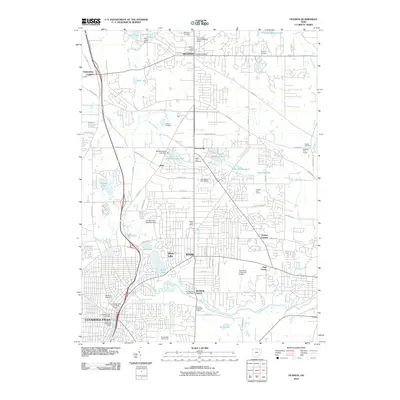 2010 Hudson2010 Print · USGSCovers Munroe Falls, including Cuyahoga Falls, Stow, and other nearby areas
 - 2010 Map of Akron East, 2010 Print
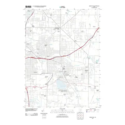 2010 Akron East2010 Print · USGSCovers Munroe Falls, including Akron, Cuyahoga Falls, and other nearby areas
 - 2013 Map of Hudson, 2013 Print
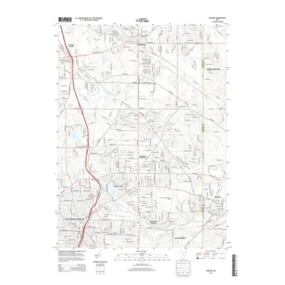 2013 Hudson2013 Print · USGSCovers Munroe Falls, including Cuyahoga Falls, Stow, and other nearby areas
 - 2013 Map of Akron East, 2013 Print
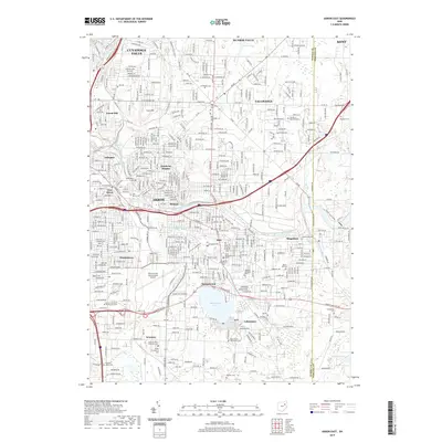
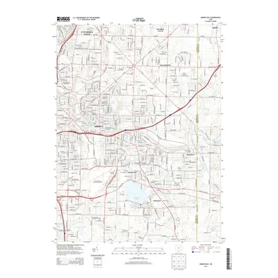 2013 Akron East2013 Print · USGSCovers Munroe Falls, including Akron, Cuyahoga Falls, and other nearby areas
 - 2016 Map of Akron East, 2016 Print
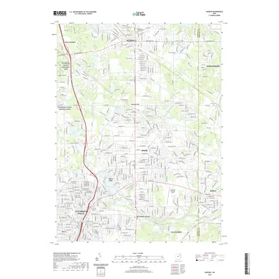
 2016 Akron East2016 Print · USGSCovers Munroe Falls, including Akron, Cuyahoga Falls, and other nearby areas
 - 2016 Map of Hudson, 2016 Print
 2016 Hudson2016 Print · USGSCovers Munroe Falls, including Cuyahoga Falls, Stow, and other nearby areas
 - 2019 Map of Akron East, 2019 Print
 2019 Akron East2019 Print · USGSCovers Munroe Falls, including Akron, Cuyahoga Falls, and other nearby areas
 - 2019 Map of Hudson, 2019 Print
 2019 Hudson2019 Print · USGSCovers Munroe Falls, including Cuyahoga Falls, Stow, and other nearby areas
 - 2023 Map of Hudson, 2023 Print
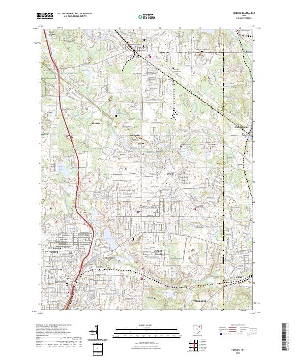 2023 Hudson2023 Print · USGSNortheastern Ohio's residential heartland is showcased here during a period of modern growth near the Cuyahoga Valley National Park. Genealogists and local historians can locate several burial sites including the Old Hudson Township Burying Ground Cem and Maple Lawn Cem.
 - 2023 Map of Akron East, 2023 Print
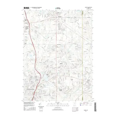
 2023 Akron East2023 Print · USGSThe Summit County suburbs east of Akron are captured here in a moment of modern growth and historical preservation. Trace family roots at Old Tallmadge Cem, explore the areas around Springfield Lake, or locate the Akron Fulton International Airport.
End of results
Showing maps 1-10 of 10
Top cities near Munroe Falls
- Akron historical maps
- Cuyahoga Falls historical maps
- Stow historical maps
- Kent historical maps
- Green historical maps
- Barberton historical maps
See more
Top neighborhoods of Munroe Falls
Frequently asked questions
- What are the different types of historical maps available for Munroe Falls?
- What is the oldest map of Munroe Falls?
- Where can I purchase historical maps of Munroe Falls for my home or office?
- Where can I download high-res historical maps of Munroe Falls?
- Are there historical topographic maps available for Munroe Falls?
- Is there historical aerial imagery available for Munroe Falls?
- Where are historical maps of Munroe Falls sourced from?