2000s (21st Century) Maps of Chester Township, Ohio
Explore 30 historic maps of Chester Township from the 2000s (21st Century). These maps offer a rare glimpse into what life looked like during the 2000s — showing old roads, neighborhoods, homes, and landmarks that have changed or disappeared over time.
Whether you're researching your family's past, planning a metal detecting trip, or studying how Chester Township's landscape evolved across the 2000s, these high-resolution maps are a powerful tool for exploring the history of this region.
- Focus on a specific era: All maps on this page are from the 2000s, giving you a focused view of this time period.
- See what’s changed: Compare century-old streets, trails, and buildings to today's modern landscape using overlays and satellite layers.
- Research with precision: Use these maps for genealogy, historical research, land use analysis, or educational projects.
- View, download, or print: Maps are fully viewable online in high resolution, and can be downloaded or printed for your own records.
Start exploring Chester Township's history through authentic maps from the 2000s. This is your window into the past.
Chester Township, OH maps
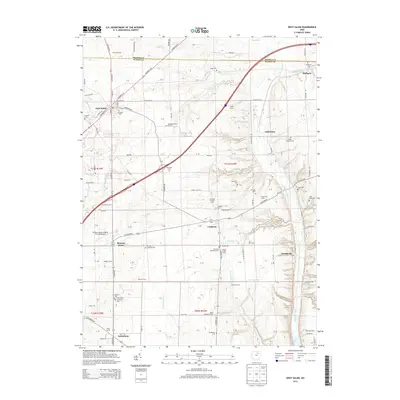
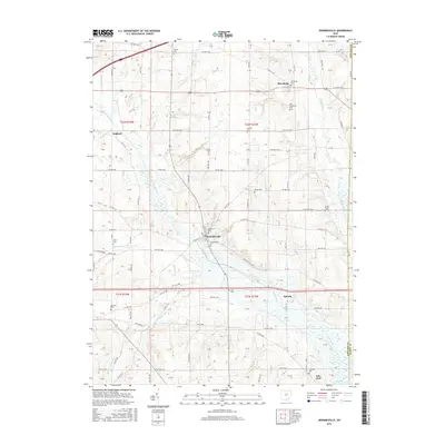
(30)- 2010 Map of Jeromesville, 2010 Print
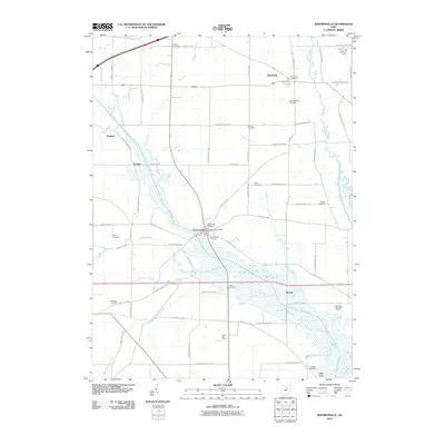 2010 Jeromesville2010 Print · USGSCovers Chester Township, including Jeromesville, Perry Township, and other nearby areas
 - 2010 Map of Polk, 2010 Print
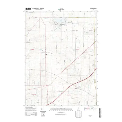
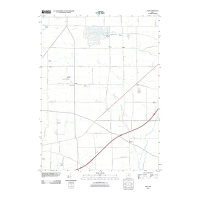 2010 Polk2010 Print · USGSCovers Chester Township, including Polk, Perry Township, and other nearby areas
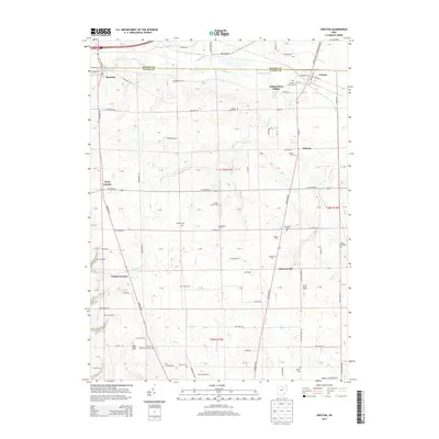
 - 2010 Map of Creston, 2010 Print
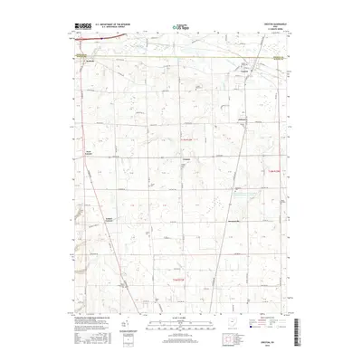
 2010 Creston2010 Print · USGSCovers Chester Township, including Creston, Burbank, and other nearby areas
 - 2010 Map of New Pittsburg, 2010 Print
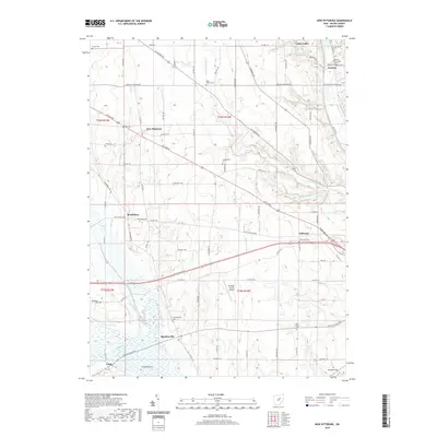
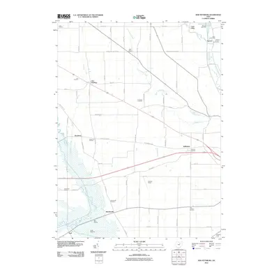 2010 New Pittsburg2010 Print · USGSCovers Chester Township, including Plain Township, Cedar Valley, and other nearby areas
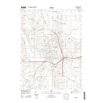
 - 2010 Map of Wooster, 2010 Print
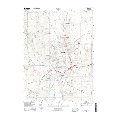
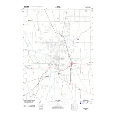 2010 Wooster2010 Print · USGSCovers Chester Township, including Wooster, Guerne, and other nearby areas
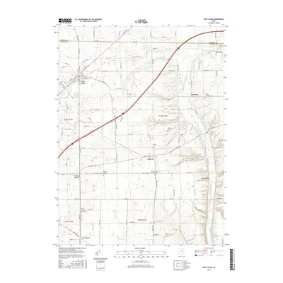
 - 2010 Map of West Salem, 2010 Print
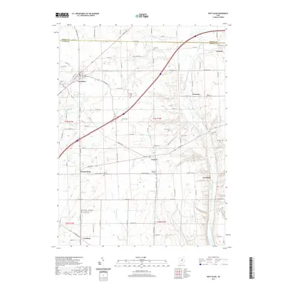
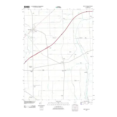 2010 West Salem2010 Print · USGSCovers Chester Township, including West Salem, Burbank, and other nearby areas
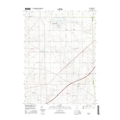
 - 2013 Map of Polk, 2013 Print
 2013 Polk2013 Print · USGSCovers Chester Township, including Polk, Perry Township, and other nearby areas
 - 2013 Map of New Pittsburg, 2013 Print
 2013 New Pittsburg2013 Print · USGSCovers Chester Township, including Plain Township, Cedar Valley, and other nearby areas
 - 2013 Map of West Salem, 2013 Print
 2013 West Salem2013 Print · USGSCovers Chester Township, including West Salem, Burbank, and other nearby areas
 - 2013 Map of Jeromesville, 2013 Print
 2013 Jeromesville2013 Print · USGSCovers Chester Township, including Jeromesville, Perry Township, and other nearby areas
 - 2013 Map of Creston, 2013 Print
 2013 Creston2013 Print · USGSCovers Chester Township, including Creston, Burbank, and other nearby areas
 - 2013 Map of Wooster, 2013 Print
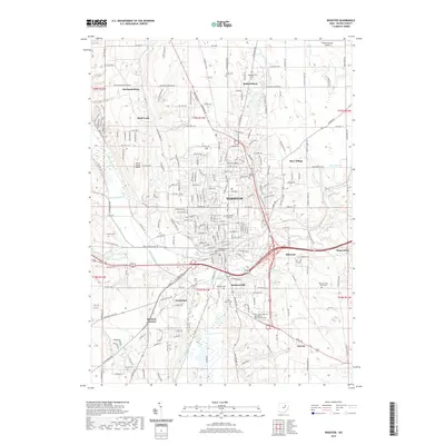
 2013 Wooster2013 Print · USGSCovers Chester Township, including Wooster, Guerne, and other nearby areas
 - 2016 Map of Jeromesville, 2016 Print
 2016 Jeromesville2016 Print · USGSCovers Chester Township, including Jeromesville, Perry Township, and other nearby areas
 - 2016 Map of New Pittsburg, 2016 Print
 2016 New Pittsburg2016 Print · USGSCovers Chester Township, including Plain Township, Cedar Valley, and other nearby areas
 - 2016 Map of Polk, 2016 Print
 2016 Polk2016 Print · USGSCovers Chester Township, including Polk, Perry Township, and other nearby areas
 - 2016 Map of West Salem, 2016 Print
 2016 West Salem2016 Print · USGSCovers Chester Township, including West Salem, Burbank, and other nearby areas
 - 2016 Map of Creston, 2016 Print
 2016 Creston2016 Print · USGSCovers Chester Township, including Creston, Burbank, and other nearby areas
 - 2016 Map of Wooster, 2016 Print
 2016 Wooster2016 Print · USGSCovers Chester Township, including Wooster, Guerne, and other nearby areas
 - 2019 Map of West Salem, 2019 Print
 2019 West Salem2019 Print · USGSCovers Chester Township, including West Salem, Burbank, and other nearby areas
 - 2019 Map of Wooster, 2019 Print
 2019 Wooster2019 Print · USGSCovers Chester Township, including Wooster, Guerne, and other nearby areas
 - 2019 Map of New Pittsburg, 2019 Print
 2019 New Pittsburg2019 Print · USGSCovers Chester Township, including Plain Township, Cedar Valley, and other nearby areas
 - 2019 Map of Polk, 2019 Print
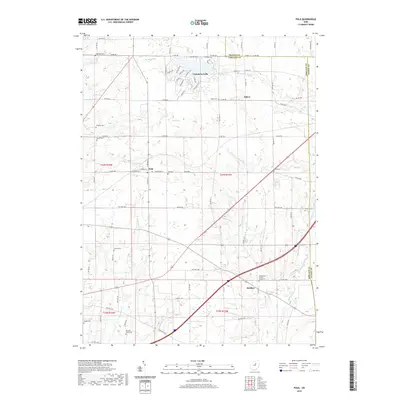 2019 Polk2019 Print · USGSCovers Chester Township, including Polk, Perry Township, and other nearby areas
 - 2019 Map of Creston, 2019 Print
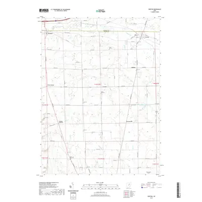 2019 Creston2019 Print · USGSCovers Chester Township, including Creston, Burbank, and other nearby areas
 - 2019 Map of Jeromesville, 2019 Print
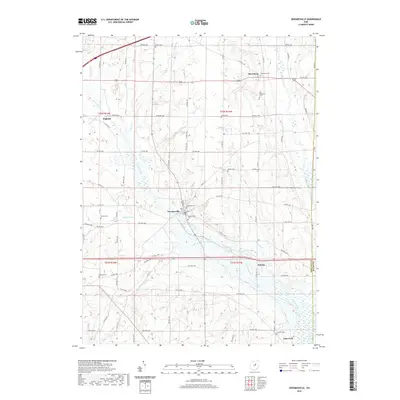 2019 Jeromesville2019 Print · USGSCovers Chester Township, including Jeromesville, Perry Township, and other nearby areas
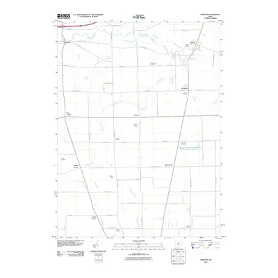
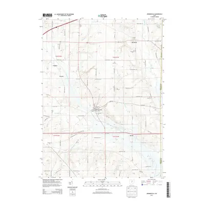
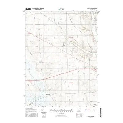
 - 2023 Map of New Pittsburg, 2023 Print
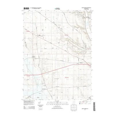
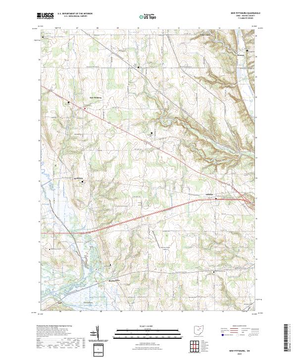 2023 New Pittsburg2023 Print · USGSWayne County's agricultural heartland is documented here in the early twenty-first century, showing a landscape shaped by creek valleys and long-standing hamlets. Genealogists can trace family names through numerous rural burial sites like Eight Square Cem, Yankeetown Cem, and Bethel Cem.
Showing maps 1-25 of 30
Top cities near Chester Township
- Wooster historical maps
- Ashland historical maps
- Lodi historical maps
- Loudonville historical maps
- Seville historical maps
- Creston historical maps
See more
Top neighborhoods of Chester Township
- New Pittsburg historical maps
- Overton historical maps
- Cedar Valley historical maps
- Lattasburg historical maps
Frequently asked questions
- What are the different types of historical maps available for Chester Township?
- What is the oldest map of Chester Township?
- Where can I purchase historical maps of Chester Township for my home or office?
- Where can I download high-res historical maps of Chester Township?
- Are there historical topographic maps available for Chester Township?
- Is there historical aerial imagery available for Chester Township?
- Where are historical maps of Chester Township sourced from?