Old Maps of Salem Township, Ohio
Explore 29 old maps of Salem Township, spanning from 1907 to today. These high-resolution historic maps reveal how streets, neighborhoods, landmarks, and natural features evolved over time — perfect for genealogy, metal detecting, research, and local history exploration.
What you can do with these maps:
- See how Salem Township changed over time: Compare historical maps to modern-day views to trace roads, homesites, rail lines & more.
- View detailed metadata: Each map includes creators, publishers, year, scale, and archive source.
- Overlay maps with satellite & LiDAR: Visualize the past alongside modern tools to explore terrain & human change.
- Trusted historical sources: Maps sourced from the USGS, Library of Congress, and other archives.
- Access maps your way: View online, download high-res files, or order prints for personal or research use.
Start exploring old maps of Salem Township to uncover forgotten places, hidden landmarks, and the deep history beneath your feet.
Salem Township, OH maps
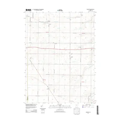
(29)- 1907 Map of Upper Sandusky, 1943 Print
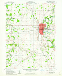
 1907 Upper Sandusky1943 Print · USGSWyandot County at the dawn of the twentieth century was a landscape of thriving rail junctions and dispersed rural school districts. Genealogists and local historians can trace the exact locations of family landmarks like Grace Chapel, the Indian Mill, and numerous rural schools from Moody School to Hendricks School 24.
 - 1950 Map of Marion
 1950 Marion1950 Print · USGSCentral Ohio was a powerhouse of rail and river industry at the mid-century point, serving as a vital corridor between the Great Lakes and the Ohio River valley. Genealogists and rail historians can trace the paths of the Erie RR and Nickel Plate Road through towns like Bucyrus, Galion, and Upper Sandusky.
 - 1960 Map of Upper Sandusky, 1962 Print
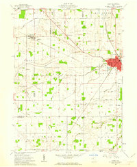
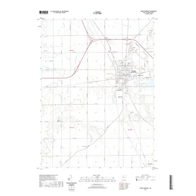
 1960 Upper Sandusky1962 Print · USGSUpper Sandusky flourished as a railroad and river hub in the early sixties, anchored by the Sandusky River. Genealogists and historians can trace the town's growth through several schools, the Indian Mill, and burial grounds like Oak Hill Cemetery and Mission Cem.2 unique versions available
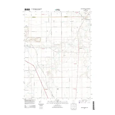
 - 1960 Map of Mc Cutchenville, 1962 Print
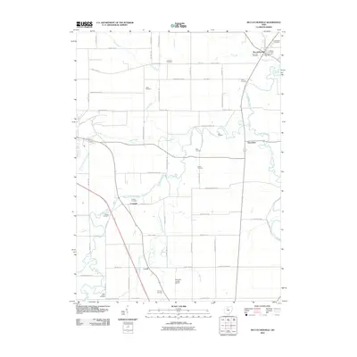
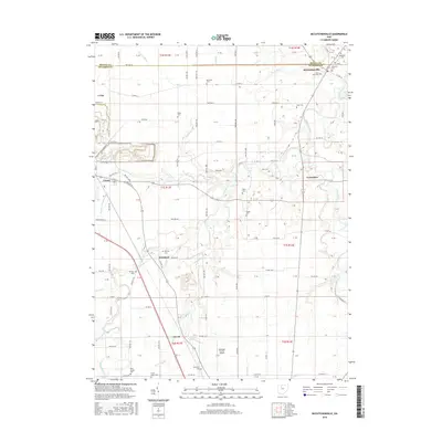
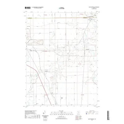
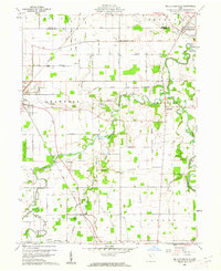 1960 Mc Cutchenville1962 Print · USGSWyandot County at the start of the 1960s shows a landscape of steady agricultural life bounded by the Old Indian Treaty Boundary. Genealogists can locate family landmarks like Knowlton Cem and Baker Cem or trace the early paths of the New York Central railroad.2 unique versions available
 - 1961 Map of Carey, 1962 Print
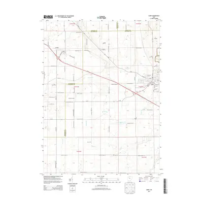
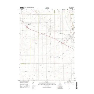
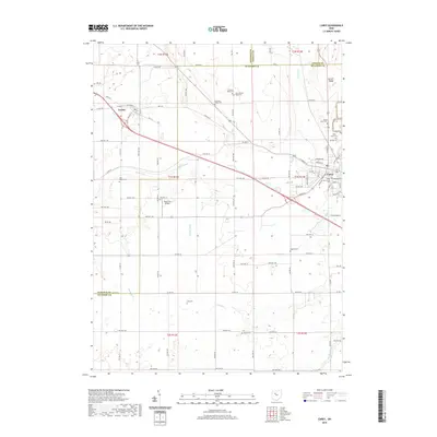
 1961 Carey1962 Print · USGSIn the early sixties, the crossroads at Carey and Vanlue reveal a landscape shaped by major rail lines and early surveyors. Researchers can trace historic markers like the Old Indian Treaty Boundary and family-named cemeteries including Zion Bloom Cem and Wentz Cem.3 unique versions available
 - 1961 Map of Wharton, 1963 Print
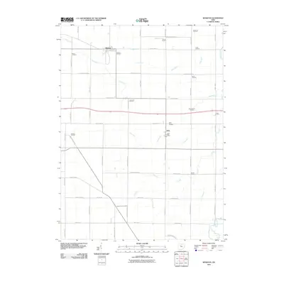
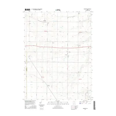
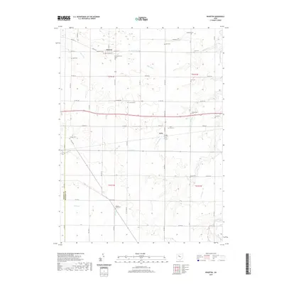
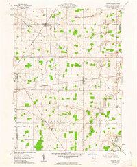 1961 Wharton1963 Print · USGSWestern Wyandot County is shown in the early sixties, a landscape where rail lines and treaty lines define the rural grid. Researchers can trace the Old Indian Treaty Boundary and locate family landmarks like Jackson Center Cem, Shiloh Ch, and the Townhall.2 unique versions available
 - 1962 Map of Marion
 1962 Marion1962 Print · USGSCentral Ohio during the post-war era showcases a dense network of railroad towns and emerging interstate highways. Genealogists can trace family roots in smaller settlements like Houcktown and Marseilles or locate landmarks near Indian Lake.
 - 1966 Map of Marion, 1968 Print
 1966 Marion1968 Print · USGSCentral Ohio in the mid-sixties is captured during a period of rapid highway expansion and industrial connectivity. Genealogists and historians can trace rail-and-river networks through towns like Marion, Urbana, and Mount Vernon, or locate landmarks such as Malabar Farm and Black Hand Rock.3 unique versions available
 - 1986 Map of Marion
 1986 Marion1986 Print · USGSNorthwest Ohio's agricultural and rail heartland is captured here in the mid-1980s, centered on the expansion of Marion and Kenton. Genealogists can trace family footprints near Bluffton College, old rail stops like Dola, and landmarks such as Indian Lake State Park.2 unique versions available
 - 2010 Map of Upper Sandusky, 2010 Print
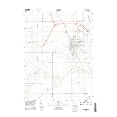
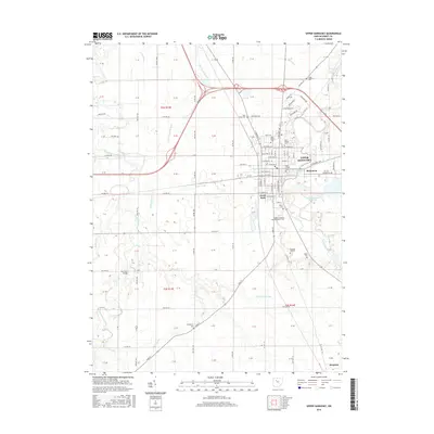
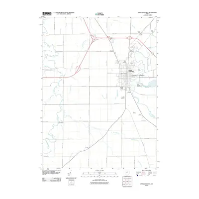 2010 Upper Sandusky2010 Print · USGSCovers Salem Township, including Upper Sandusky, Harpster, and other nearby areas
 - 2010 Map of Wharton, 2010 Print
 2010 Wharton2010 Print · USGSCovers Salem Township, including Wharton, Kirby, and other nearby areas
 - 2010 Map of McCutchenville, 2010 Print
 2010 McCutchenville2010 Print · USGSCovers Salem Township, including Crawford, Carey, and other nearby areas
 - 2010 Map of Carey, 2010 Print
 2010 Carey2010 Print · USGSCovers Salem Township, including Carey, Vanlue, and other nearby areas
 - 2013 Map of Wharton, 2013 Print
 2013 Wharton2013 Print · USGSCovers Salem Township, including Wharton, Kirby, and other nearby areas
 - 2013 Map of Upper Sandusky, 2013 Print
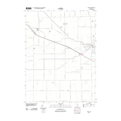
 2013 Upper Sandusky2013 Print · USGSCovers Salem Township, including Upper Sandusky, Harpster, and other nearby areas
 - 2013 Map of McCutchenville, 2013 Print
 2013 McCutchenville2013 Print · USGSCovers Salem Township, including Crawford, Carey, and other nearby areas
 - 2013 Map of Carey, 2013 Print
 2013 Carey2013 Print · USGSCovers Salem Township, including Carey, Vanlue, and other nearby areas
 - 2016 Map of Upper Sandusky, 2016 Print
 2016 Upper Sandusky2016 Print · USGSCovers Salem Township, including Upper Sandusky, Harpster, and other nearby areas
 - 2016 Map of Wharton, 2016 Print
 2016 Wharton2016 Print · USGSCovers Salem Township, including Wharton, Kirby, and other nearby areas
 - 2016 Map of Carey, 2016 Print
 2016 Carey2016 Print · USGSCovers Salem Township, including Carey, Vanlue, and other nearby areas
 - 2016 Map of McCutchenville, 2016 Print
 2016 McCutchenville2016 Print · USGSCovers Salem Township, including Crawford, Carey, and other nearby areas
 - 2019 Map of Wharton, 2019 Print
 2019 Wharton2019 Print · USGSCovers Salem Township, including Wharton, Kirby, and other nearby areas
 - 2019 Map of McCutchenville, 2019 Print
 2019 McCutchenville2019 Print · USGSCovers Salem Township, including Crawford, Carey, and other nearby areas
 - 2019 Map of Upper Sandusky, 2019 Print
 2019 Upper Sandusky2019 Print · USGSCovers Salem Township, including Upper Sandusky, Harpster, and other nearby areas
 - 2019 Map of Carey, 2019 Print
 2019 Carey2019 Print · USGSCovers Salem Township, including Carey, Vanlue, and other nearby areas
Showing maps 1-25 of 29
Top cities near Salem Township
- Findlay historical maps
- Marion historical maps
- Tiffin historical maps
- Kenton historical maps
- Upper Sandusky historical maps
- Crawford historical maps
See more
Top neighborhoods of Salem Township
Frequently asked questions
- What are the different types of historical maps available for Salem Township?
- What is the oldest map of Salem Township?
- Where can I purchase historical maps of Salem Township for my home or office?
- Where can I download high-res historical maps of Salem Township?
- Are there historical topographic maps available for Salem Township?
- Is there historical aerial imagery available for Salem Township?
- Where are historical maps of Salem Township sourced from?