Old Maps of Blanchard, Oklahoma for Metal Detecting
Plan your next treasure hunt with 29 historic maps of Blanchard. Find old homesites, ghost towns, trails, and gathering spots that may be lost to time — perfect for identifying promising metal detecting locations.
- Locate forgotten sites: Uncover places like long-lost settlements, abandoned rail lines, or gathering spots.
- Plan better hunts: Use map overlays combined with LiDAR or satellite views to narrow in on historically rich areas.
- Made for detectorists: Thousands of hobbyists use these maps to discover relics, coins, and hidden history.
Use these historic maps to boost your research and find new opportunities beneath the surface of Blanchard.
Blanchard, OK maps
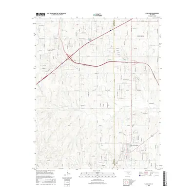
(29)- 1904 Map of Chickasha
 1904 Chickasha1904 Print · USGSIndian Territory and Oklahoma Territory meet in this detailed 1904 survey, showing the region just years before statehood. Genealogists can trace the early rail stops at Minco and Tuttle or locate family homesteads near Womack and Dibble.4 unique versions available
 - 1954 Map of Oklahoma City
 1954 Oklahoma City1954 Print · USGSOklahoma City and its surrounding counties are captured here in the early fifties during a period of significant postwar growth. Researchers can trace the development of the Turner Turnpike and locate aviation hubs like Tinker Field or Will Rogers Field.
 - 1957 Map of Oklahoma City, 1969 Print
 1957 Oklahoma City1969 Print · USGSCentral Oklahoma is captured here in a period of significant mid-century growth and industrialization. Researchers can trace family roots through numerous rural markers like Memory Lane Cem, New Hope School, and the sprawling grounds of Tinker Air Force Base.3 unique versions available
 - 1963 Map of Oklahoma City
 1963 Oklahoma City1963 Print · USGSCentral Oklahoma in the early sixties showcases a landscape of rapid suburban growth and established oil production. Researchers can trace historic rail lines like the Chicago Rock Island and Pacific RR or locate rural landmarks such as Mayflower School and Bethel Church.
 - 1965 Map of Newcastle, 1966 Print
 1965 Newcastle1966 Print · USGSCentral Oklahoma's river borderlands in the mid-1960s reveal a landscape of growing oil fields and rural townships. Trace family history at Warren Cem or follow the legacy of energy production through the North Lindsay Ridge Oil Field.4 unique versions available
 - 1965 Map of Cole, 1966 Print
 1965 Cole1966 Print · USGSMcClain County comes to life in the mid-1960s as a landscape of rural communities and active energy production. Researchers can trace the legacy of the West Washington Oil Field or locate local landmarks like the Iron Chapel and Dibble Cem.2 unique versions available
 - 1965 Map of Dibble, 1966 Print
 1965 Dibble1966 Print · USGSOklahoma prairie life across the Grady and McClain county line is captured here in the mid-1960s. Researchers can locate family roots at Hale Cem and Naples Cem, or trace the early energy industry through the North Dibble Oil Field.2 unique versions available
 - 1965 Map of Blanchard, 1966 Print
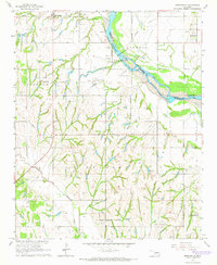
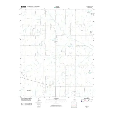
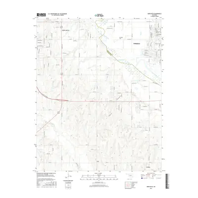
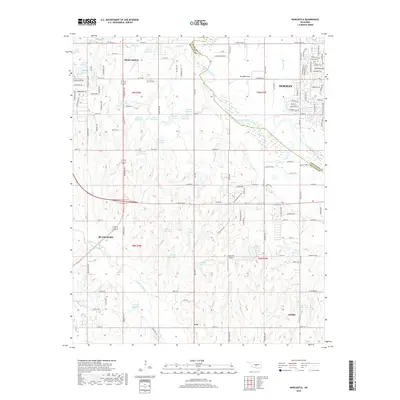
 1965 Blanchard1966 Print · USGSBlanchard and the McClain County borderlands are captured here in the mid-1960s as new highways began to reshape the rural landscape. Researchers can trace the Old Railroad Grade or locate historic sites like Bridge Creek Sch and Blanchard Cem.5 unique versions available
 - 1985 Map of Oklahoma City South
 1985 Oklahoma City South1985 Print · USGSOklahoma City and its southern neighbors show a period of significant growth during the mid-eighties as suburban expansion met rural county lines. Researchers can trace the development of Tinker Air Force Base and locate smaller communities like Goldsby, Stella, and Woody Chapel.2 unique versions available
 - 2009 Map of Cole, 2009 Print
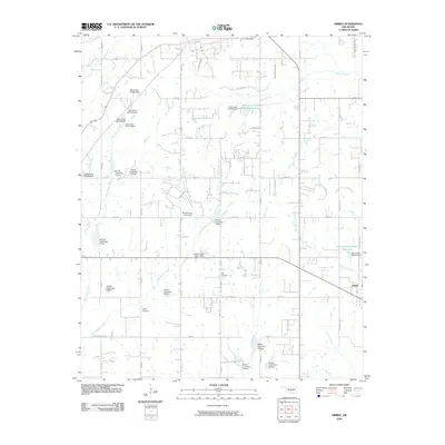
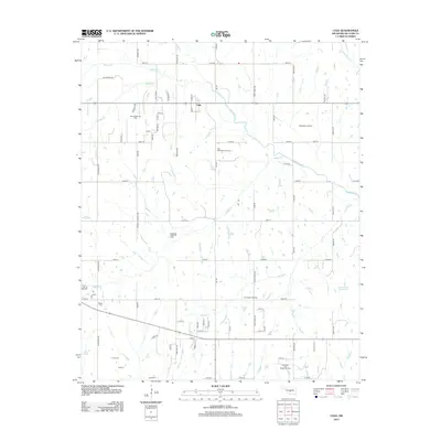
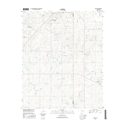
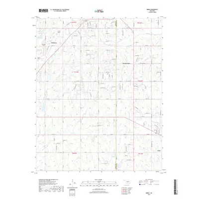
 2009 Cole2009 Print · USGSCovers Blanchard, including Goldsby, Washington, and other nearby areas
 - 2009 Map of Blanchard, 2009 Print
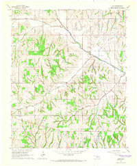
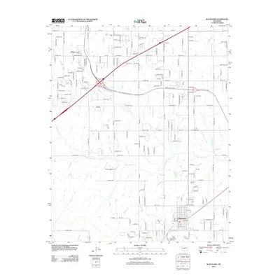
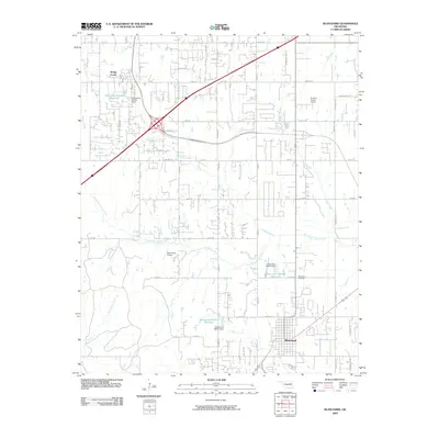 2009 Blanchard2009 Print · USGSCovers Blanchard, including Newcastle, Bridge Creek, and other nearby areas
 - 2009 Map of Dibble, 2009 Print
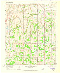
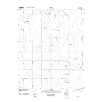
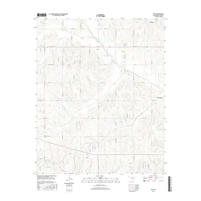
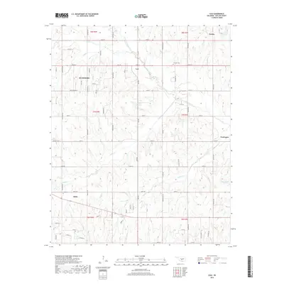
 2009 Dibble2009 Print · USGSCovers Blanchard, including Dibble, Middleberg, and other nearby areas
 - 2010 Map of Newcastle, 2010 Print
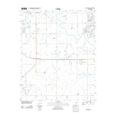
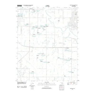 2010 Newcastle2010 Print · USGSCovers Blanchard, including Norman, Newcastle, and other nearby areas
 - 2012 Map of Blanchard, 2012 Print
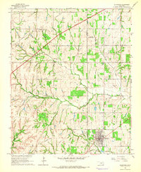
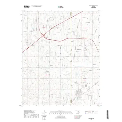
 2012 Blanchard2012 Print · USGSCovers Blanchard, including Newcastle, Bridge Creek, and other nearby areas
 - 2013 Map of Dibble, 2013 Print
 2013 Dibble2013 Print · USGSCovers Blanchard, including Dibble, Middleberg, and other nearby areas
 - 2013 Map of Newcastle, 2013 Print
 2013 Newcastle2013 Print · USGSCovers Blanchard, including Norman, Newcastle, and other nearby areas
 - 2013 Map of Cole, 2013 Print
 2013 Cole2013 Print · USGSCovers Blanchard, including Goldsby, Washington, and other nearby areas
 - 2016 Map of Newcastle, 2016 Print
 2016 Newcastle2016 Print · USGSCovers Blanchard, including Norman, Newcastle, and other nearby areas
 - 2016 Map of Blanchard, 2016 Print
 2016 Blanchard2016 Print · USGSCovers Blanchard, including Newcastle, Bridge Creek, and other nearby areas
 - 2016 Map of Dibble, 2016 Print
 2016 Dibble2016 Print · USGSCovers Blanchard, including Dibble, Middleberg, and other nearby areas
 - 2016 Map of Cole, 2016 Print
 2016 Cole2016 Print · USGSCovers Blanchard, including Goldsby, Washington, and other nearby areas
 - 2018 Map of Newcastle, 2018 Print
 2018 Newcastle2018 Print · USGSCovers Blanchard, including Norman, Newcastle, and other nearby areas
 - 2018 Map of Blanchard, 2018 Print
 2018 Blanchard2018 Print · USGSCovers Blanchard, including Newcastle, Bridge Creek, and other nearby areas
 - 2018 Map of Cole, 2018 Print
 2018 Cole2018 Print · USGSCovers Blanchard, including Goldsby, Washington, and other nearby areas
 - 2018 Map of Dibble, 2018 Print
 2018 Dibble2018 Print · USGSCovers Blanchard, including Dibble, Middleberg, and other nearby areas
Showing maps 1-25 of 29
Top cities near Blanchard
- Oklahoma City historical maps
- Norman historical maps
- Moore historical maps
- Mustang historical maps
- Chickasha historical maps
- Newcastle historical maps
See more
Top neighborhoods of Blanchard
Frequently asked questions
- What are the different types of historical maps available for Blanchard?
- What is the oldest map of Blanchard?
- Where can I purchase historical maps of Blanchard for my home or office?
- Where can I download high-res historical maps of Blanchard?
- Are there historical topographic maps available for Blanchard?
- Is there historical aerial imagery available for Blanchard?
- Where are historical maps of Blanchard sourced from?