Old Maps of Bromide, Oklahoma for Hiking & Exploration
Hike through history with 18 historic maps of Bromide. Explore old trails, ghost towns, and forgotten backroads — perfect for outdoor adventurers and local explorers.
- Rediscover forgotten places: Map out old mining camps, roads, and footpaths that no longer exist on modern maps.
- Layer with modern tools: Combine with LiDAR or satellite views to plan hikes through historical terrain.
- Made for exploration: Popular among hikers, overlanders, and local history lovers.
Use these maps to find adventure and explore the hidden past of Bromide.
Bromide, OK maps
(18)- 1899 Map of Atoka
 1899 Atoka1899 Print · USGSIn the final years of the Indian Territory, this map details the complex border between the Chickasaw and Choctaw Nations. Genealogists can trace early homesteads near Old Boggy Depot, the Buffalo Creek Church, and the Chickasaw Rock Academy.
 - 1900 Map of Atoka
 1900 Atoka1900 Print · USGSIndian Territory at the turn of the century shows the developing rail-and-river network before Oklahoma statehood. Genealogists and historians can trace original settlements like Old Boggy Depot, find the Chickasaw Rock Academy, and follow the Missouri Kansas and Texas R.R. through Atoka.4 unique versions available
 - 1901 Map of Tishomingo
 1901 Tishomingo1901 Print · USGSThe Chickasaw Nation comes to life in this late-frontier survey of Johnston County and the surrounding Indian Territory. Genealogists and historians can locate early industrial sites like the Asphalt Mines, the landmark Harley Institute, and the site of Fort Washita.4 unique versions available
 - 1957 Map of Ardmore, 1968 Print
 1957 Ardmore1968 Print · USGSSouth-central Oklahoma in the late fifties was a landscape of rising reservoir waters and expanding rail lines. Genealogists and historians can trace the foundations of Ardmore and Duncan or locate early recreation sites at Platt National Park and Lake Murray State Park.3 unique versions available
 - 1963 Map of Ardmore
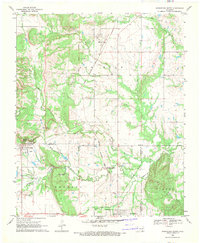
 1963 Ardmore1963 Print · USGSSouthern Oklahoma during the early sixties shows a landscape defined by the Arbuckle Mountains and a booming energy economy. Genealogists and historians can trace family-named sites across the Ardmore Oil Field, find old schools like Southeastern State College, or locate historic markers such as Boggy Depot State Park.2 unique versions available
 - 1967 Map of Connerville NE, 1968 Print
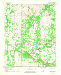 1967 Connerville NE1968 Print · USGSJohnston and Coal County show a landscape of remote springs and rural settlements during the late 1960s. Genealogists can trace family sites at Seely Cem and Pilgrim Cem or locate the community hubs of Pontotoc and Bromide.
 - 1969 Map of Wapanucka North, 1971 Print
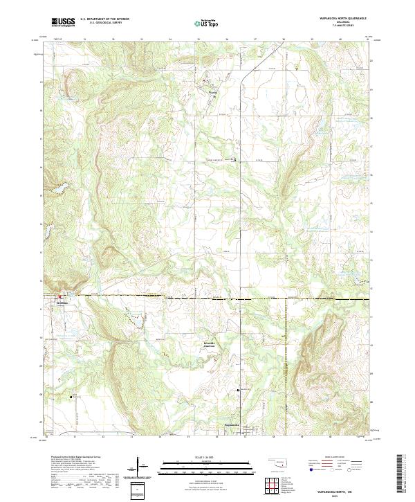
 1969 Wapanucka North1971 Print · USGSOklahoma's Johnston and Coal Counties are captured here in the late sixties, where the Kansas Oklahoma and Gulf Railroad defines the local economy. Researchers can trace the Old Indian Treaty Boundary and locate the Chickasaw Rock Academy (Ruin).2 unique versions available
 - 1985 Map of Tishomingo, 1986 Print
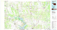 1985 Tishomingo1986 Print · USGSSouthern Oklahoma in the mid-eighties reveals a landscape shaped by significant water projects and conservation lands. Genealogists and historians can trace the footprints of communities like Wapanucka and Bromide alongside the Washita River and Lake Texoma.3 unique versions available
 - 2009 Map of Connerville NE, 2009 Print
 2009 Connerville NE2009 Print · USGSCovers Bromide, including Witch Hole, Johnston County, and other nearby areas
 - 2009 Map of Wapanucka North, 2009 Print
 2009 Wapanucka North2009 Print · USGSCovers Bromide, including Wapanucka, Bromide Junction, and other nearby areas
 - 2012 Map of Connerville NE, 2012 Print
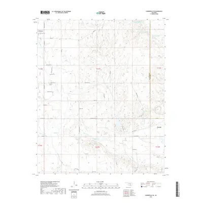
 2012 Connerville NE2012 Print · USGSCovers Bromide, including Witch Hole, Johnston County, and other nearby areas
 - 2012 Map of Wapanucka North, 2012 Print
 2012 Wapanucka North2012 Print · USGSCovers Bromide, including Wapanucka, Bromide Junction, and other nearby areas
 - 2016 Map of Wapanucka North, 2016 Print
 2016 Wapanucka North2016 Print · USGSCovers Bromide, including Wapanucka, Bromide Junction, and other nearby areas
 - 2016 Map of Connerville NE, 2016 Print
 2016 Connerville NE2016 Print · USGSCovers Bromide, including Witch Hole, Johnston County, and other nearby areas
 - 2018 Map of Wapanucka North, 2018 Print
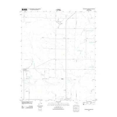
 2018 Wapanucka North2018 Print · USGSCovers Bromide, including Wapanucka, Bromide Junction, and other nearby areas
 - 2018 Map of Connerville NE, 2018 Print
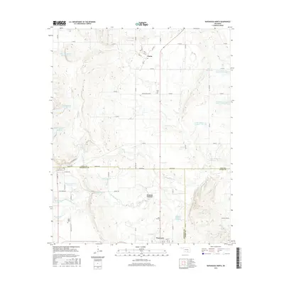
 2018 Connerville NE2018 Print · USGSCovers Bromide, including Witch Hole, Johnston County, and other nearby areas
 - 2022 Map of Wapanucka North, 2022 Print
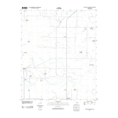
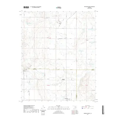
 2022 Wapanucka North2022 Print · USGSSouthern Oklahoma ranchlands and small-town intersections come into focus in this early twenty-first-century survey of the Clear Boggy Creek watershed. Genealogists and local historians can trace family-named sites like Mary J Ranch Lake or locate burials at Moore Cem and Valley Cem.
 - 2022 Map of Connerville NE, 2022 Print
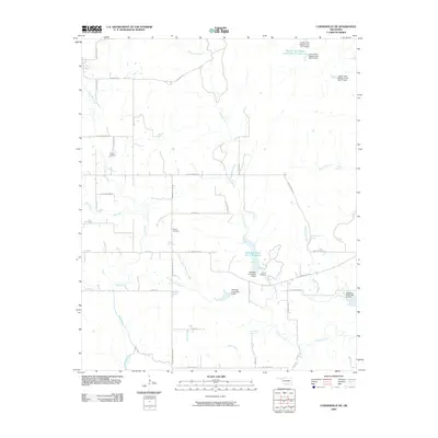
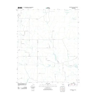
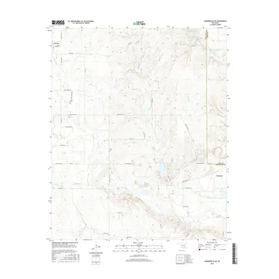
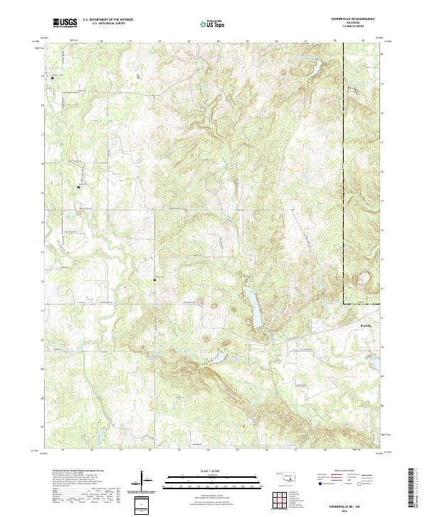 2022 Connerville NE2022 Print · USGSBromide and the ranchlands of Johnston County are shown here in the 2020s, a landscape defined by spring-fed creeks and rural family holdings. Researchers can trace local history through Pontotoc Cemetery, Witch Hole, and the many branches of the Blue River.
End of results
Showing maps 1-18 of 18
Top cities near Bromide
- Ada historical maps
- Tishomingo historical maps
- Wapanucka historical maps
- Tupelo historical maps
- Milburn historical maps
- Centrahoma historical maps
Frequently asked questions
- What are the different types of historical maps available for Bromide?
- What is the oldest map of Bromide?
- Where can I purchase historical maps of Bromide for my home or office?
- Where can I download high-res historical maps of Bromide?
- Are there historical topographic maps available for Bromide?
- Is there historical aerial imagery available for Bromide?
- Where are historical maps of Bromide sourced from?