Old Maps of Scott, Oklahoma
Explore 10 old maps of Scott, spanning from 1893 to today. These high-resolution historic maps reveal how streets, neighborhoods, landmarks, and natural features evolved over time — perfect for genealogy, metal detecting, research, and local history exploration.
What you can do with these maps:
- See how Scott changed over time: Compare historical maps to modern-day views to trace roads, homesites, rail lines & more.
- View detailed metadata: Each map includes creators, publishers, year, scale, and archive source.
- Overlay maps with satellite & LiDAR: Visualize the past alongside modern tools to explore terrain & human change.
- Trusted historical sources: Maps sourced from the USGS, Library of Congress, and other archives.
- Access maps your way: View online, download high-res files, or order prints for personal or research use.
Start exploring old maps of Scott to uncover forgotten places, hidden landmarks, and the deep history beneath your feet.
Scott, OK maps
(10)- 1893 Map of Buggy Creek
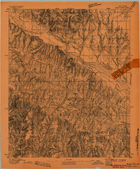 1893 Buggy Creek1893 Print · USGSOklahoma Territory near the turn of the century reveals a landscape defined by the Wichita Reservation and frontier outposts. Genealogists and historians can trace early activity at the Indian Village and Stage Stand along the Canadian River.2 unique versions available
 - 1955 Map of Clinton, 1964 Print
 1955 Clinton1964 Print · USGSWestern Oklahoma during the mid-century transition shows a landscape of growing reservoirs and active military flight lines. Genealogists and historians can locate rural landmarks such as Mountain View Church, Berlin School, and the Riverside Indian School Reserve.3 unique versions available
 - 1957 Map of Clinton
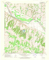
 1957 Clinton1957 Print · USGSWestern Oklahoma in the mid-fifties is captured here as a landscape of river-valley settlements and emerging energy fields. Genealogists can trace family roots through numerous rural landmarks like the Swapping Back Indian School, Hebron Church, and the Riverside Indian School Reserve.
 - 1967 Map of Cogar NW, 1970 Print
 1967 Cogar NW1970 Print · USGSThe braided channel of the Canadian River dominates this late-1960s rural landscape on the Caddo and Canadian county line. Genealogists and local historians can trace the foundations of the community at Niles Cem, East Walnut Sch, and Cedar Lake.
 - 1986 Map of Anadarko
 1986 Anadarko1986 Print · USGSThe Oklahoma plains around Anadarko are captured in the mid-1980s, showing the intersection of rail history and tribal heritage. Genealogists and historians can trace the Indian Treaty Boundary or locate old rail stops along the Burlington Northern Railroad and Atchison, Topeka and Santa Fe Railway.2 unique versions available
 - 2009 Map of Cogar NW, 2009 Print
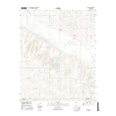
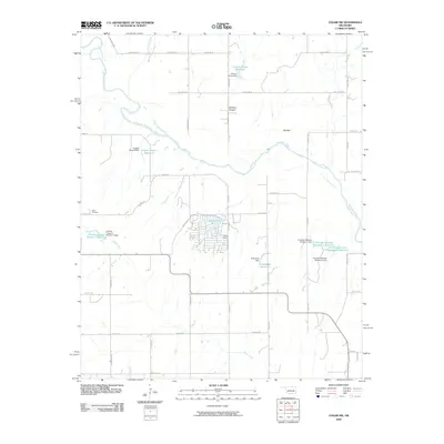 2009 Cogar NW2009 Print · USGSCovers Scott, including Canadian County, Caddo County, and other nearby areas
 - 2012 Map of Cogar NW, 2012 Print
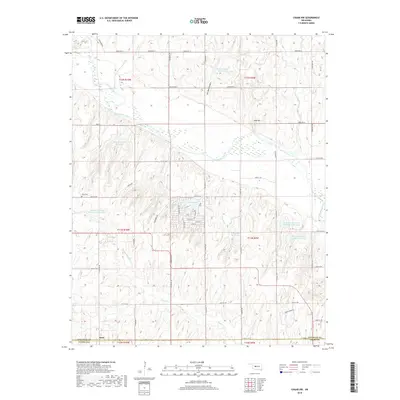
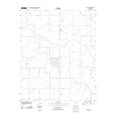 2012 Cogar NW2012 Print · USGSCovers Scott, including Canadian County, Caddo County, and other nearby areas
 - 2016 Map of Cogar NW, 2016 Print
 2016 Cogar NW2016 Print · USGSCovers Scott, including Canadian County, Caddo County, and other nearby areas
 - 2018 Map of Cogar NW, 2018 Print
 2018 Cogar NW2018 Print · USGSCovers Scott, including Canadian County, Caddo County, and other nearby areas
 - 2022 Map of Cogar NW, 2022 Print
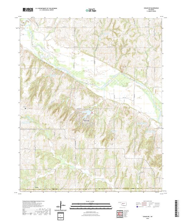 2022 Cogar NW2022 Print · USGSThe Canadian and Caddo county line area is defined by its rural water systems and the wandering Canadian River during this modern era. Researchers can find family landmarks like the Niles Cem and several private reservoirs including the Chester Chiles Reservoir.
End of results
Showing maps 1-10 of 10
Top cities near Scott
- El Reno historical maps
- Hinton historical maps
- Union City historical maps
- Geary historical maps
- Calumet historical maps
- Binger historical maps
See more
Frequently asked questions
- What are the different types of historical maps available for Scott?
- What is the oldest map of Scott?
- Where can I purchase historical maps of Scott for my home or office?
- Where can I download high-res historical maps of Scott?
- Are there historical topographic maps available for Scott?
- Is there historical aerial imagery available for Scott?
- Where are historical maps of Scott sourced from?