Old Maps of Huskey, Oklahoma for Metal Detecting
Plan your next treasure hunt with 10 historic maps of Huskey. Find old homesites, ghost towns, trails, and gathering spots that may be lost to time — perfect for identifying promising metal detecting locations.
- Locate forgotten sites: Uncover places like long-lost settlements, abandoned rail lines, or gathering spots.
- Plan better hunts: Use map overlays combined with LiDAR or satellite views to narrow in on historically rich areas.
- Made for detectorists: Thousands of hobbyists use these maps to discover relics, coins, and hidden history.
Use these historic maps to boost your research and find new opportunities beneath the surface of Huskey.
Huskey, OK maps
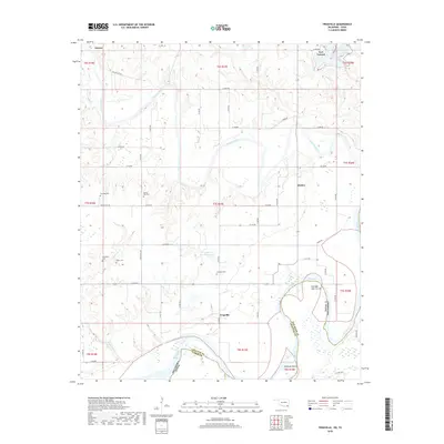
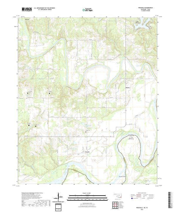
(10)- 1951 Map of Frogville, 1952 Print
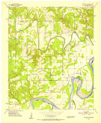 1951 Frogville1952 Print · USGSThe Oklahoma-Texas borderlands along the Red River are captured here in the early fifties, showing a landscape defined by meandering river bends. Genealogists can locate numerous local burial sites and schools like Frogville Cem, Everidge Cem, and Lake View Sch.3 unique versions available
 - 1953 Map of Texarkana, 1964 Print
 1953 Texarkana1964 Print · USGSThe Texas-Arkansas borderlands are captured here in the mid-fifties, during a decade of massive military and hydraulic engineering projects. Genealogists and researchers can locate family landmarks like Old Boston Cem, Siloam Ch, and the vast Red River Arsenal.4 unique versions available
 - 1956 Map of Texarkana
 1956 Texarkana1956 Print · USGSThe Ark-La-Tex borderlands come alive in the mid-fifties, showing the transition from a rail-dependent rural economy to a post-war industrial landscape. Researchers can trace the massive Red River Ordnance Depot and find towns like Talco, Bogata, and Naples.
 - 1985 Map of Paris
 1985 Paris1985 Print · USGSThe Red River Valley in the mid-eighties shows a landscape of military training grounds and rail-connected agricultural towns. Genealogists and historians can trace local landmarks like Allens Chapel Cem, the grounds of Camp Maxey, and the early footprint of Paris Junior College.
 - 1991 Map of Paris
 1991 Paris1991 Print · USGSNorthern Texas and southern Oklahoma meet along the Red River valley during the early nineties. Researchers can trace the rail networks of the Texas and Pacific RR and visit rural communities like Manchester, Sylvan, and Arthur City.
 - 2010 Map of Frogville, 2010 Print
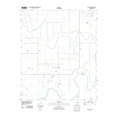 2010 Frogville2010 Print · USGSCovers Huskey, including Fort Towson, Sawyer, and other nearby areas
 - 2012 Map of Frogville, 2012 Print
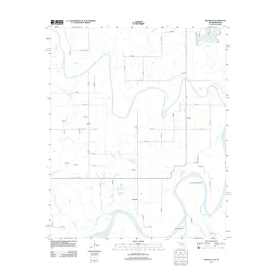 2012 Frogville2012 Print · USGSCovers Huskey, including Fort Towson, Sawyer, and other nearby areas
 - 2016 Map of Frogville, 2016 Print
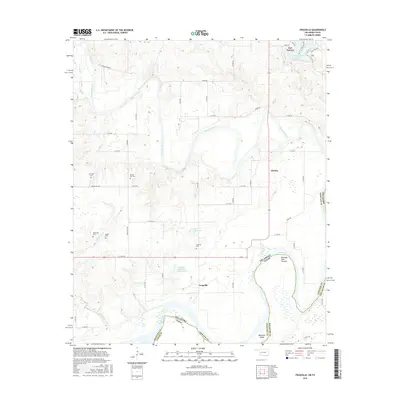 2016 Frogville2016 Print · USGSCovers Huskey, including Fort Towson, Sawyer, and other nearby areas
 - 2018 Map of Frogville, 2018 Print
 2018 Frogville2018 Print · USGSCovers Huskey, including Fort Towson, Sawyer, and other nearby areas
 - 2022 Map of Frogville, 2022 Print
 2022 Frogville2022 Print · USGSChoctaw County, Oklahoma, is documented here at the confluence of the Kiamichi and Red Rivers. Genealogists and local historians can trace family locations near Frogville, Huskey, and several rural burial grounds including Everidge Cem and Spring Hill Cem.
End of results
Showing maps 1-10 of 10
Top cities near Huskey
- Paris historical maps
- Hugo historical maps
- Valliant historical maps
- Fort Towson historical maps
- Sawyer historical maps
Frequently asked questions
- What are the different types of historical maps available for Huskey?
- What is the oldest map of Huskey?
- Where can I purchase historical maps of Huskey for my home or office?
- Where can I download high-res historical maps of Huskey?
- Are there historical topographic maps available for Huskey?
- Is there historical aerial imagery available for Huskey?
- Where are historical maps of Huskey sourced from?