Old Maps of New Oberlin, Oklahoma for Hiking & Exploration
Hike through history with 13 historic maps of New Oberlin. Explore old trails, ghost towns, and forgotten backroads — perfect for outdoor adventurers and local explorers.
- Rediscover forgotten places: Map out old mining camps, roads, and footpaths that no longer exist on modern maps.
- Layer with modern tools: Combine with LiDAR or satellite views to plan hikes through historical terrain.
- Made for exploration: Popular among hikers, overlanders, and local history lovers.
Use these maps to find adventure and explore the hidden past of New Oberlin.
New Oberlin, OK maps
(13)- 1903 Map of Paris
 1903 Paris1903 Print · USGSThe Red River borderlands of the Indian Territory and Texas are shown here at the start of the century. Genealogists and researchers can trace early settlements and social hubs like Grant, Oberlin, and the Camp Ground along the winding banks of the Red River.
 - 1948 Map of Direct, 1968 Print
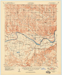
 1948 Direct1968 Print · USGSThe Red River valley at the close of the 1940s reveals a landscape of isolated farming communities and local schools spanning the Oklahoma-Texas border. Genealogists and historians can trace the foundations of New Oberlin or locate remote landmarks like Iron Stob School and Arch Chapel Cem.
 - 1949 Map of Direct
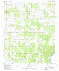
 1949 Direct1949 Print · USGSThe Oklahoma and Texas borderlands along the Red River are captured here in the late 1940s. Local historians can trace the vanished Oberlin Ferry and old country schools like Crowder Springs School or visit family sites at Forest Grove Cem and Monkstown.2 unique versions available
 - 1953 Map of Texarkana, 1964 Print
 1953 Texarkana1964 Print · USGSThe Texas-Arkansas borderlands are captured here in the mid-fifties, during a decade of massive military and hydraulic engineering projects. Genealogists and researchers can locate family landmarks like Old Boston Cem, Siloam Ch, and the vast Red River Arsenal.4 unique versions available
 - 1956 Map of Texarkana
 1956 Texarkana1956 Print · USGSThe Ark-La-Tex borderlands come alive in the mid-fifties, showing the transition from a rail-dependent rural economy to a post-war industrial landscape. Researchers can trace the massive Red River Ordnance Depot and find towns like Talco, Bogata, and Naples.
 - 1980 Map of New Oberlin, 1981 Print
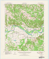
 1980 New Oberlin1981 Print · USGSThe Oklahoma-Texas borderlands along the Red River are captured here during the late twentieth century. Genealogists and historians can trace rural landmarks and family burial grounds such as Crowder Cem, Oberlin Cem, and Iron Stob Ch.
 - 1985 Map of Paris
 1985 Paris1985 Print · USGSThe Red River Valley in the mid-eighties shows a landscape of military training grounds and rail-connected agricultural towns. Genealogists and historians can trace local landmarks like Allens Chapel Cem, the grounds of Camp Maxey, and the early footprint of Paris Junior College.
 - 1991 Map of Paris
 1991 Paris1991 Print · USGSNorthern Texas and southern Oklahoma meet along the Red River valley during the early nineties. Researchers can trace the rail networks of the Texas and Pacific RR and visit rural communities like Manchester, Sylvan, and Arthur City.
 - 2010 Map of New Oberlin, 2010 Print
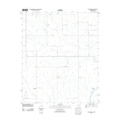
 2010 New Oberlin2010 Print · USGSCovers New Oberlin, including Lamar County, Bryan County, and other nearby areas
 - 2012 Map of New Oberlin, 2012 Print
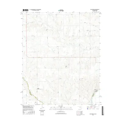
 2012 New Oberlin2012 Print · USGSCovers New Oberlin, including Lamar County, Bryan County, and other nearby areas
 - 2016 Map of New Oberlin, 2016 Print
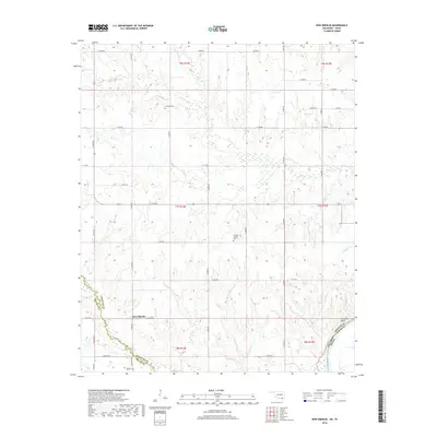
 2016 New Oberlin2016 Print · USGSCovers New Oberlin, including Lamar County, Bryan County, and other nearby areas
 - 2018 Map of New Oberlin, 2018 Print
 2018 New Oberlin2018 Print · USGSCovers New Oberlin, including Lamar County, Bryan County, and other nearby areas
 - 2022 Map of New Oberlin, 2022 Print
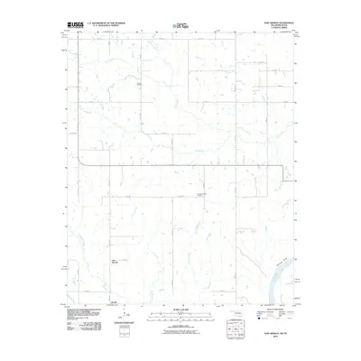
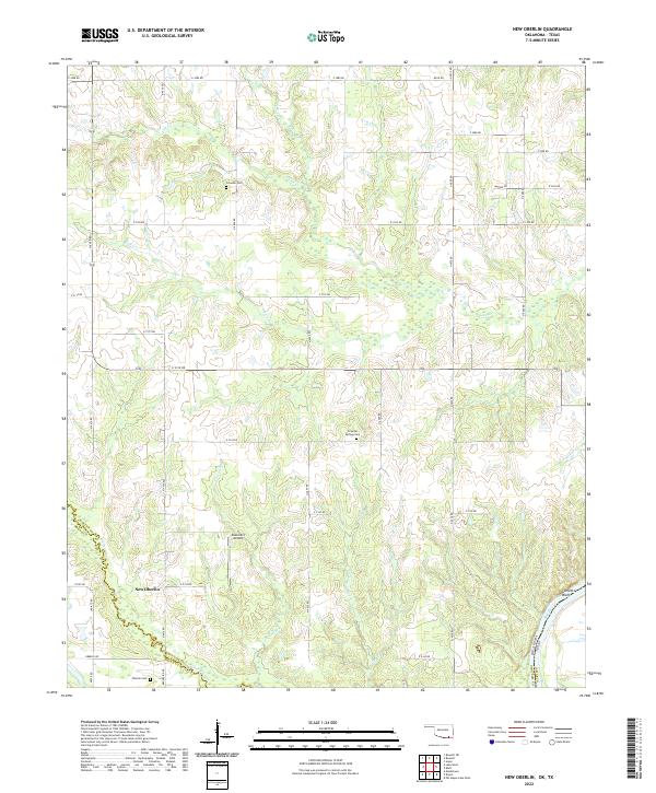 2022 New Oberlin2022 Print · USGSChoctaw County at the Texas border is documented here in the early twenty-first century as the Red River snakes along the state line. Researchers can locate family landmarks such as Oberlin Cem, the settlement of New Oberlin, and Garretts Bluff.
End of results
Showing maps 1-13 of 13
Top cities near New Oberlin
Frequently asked questions
- What are the different types of historical maps available for New Oberlin?
- What is the oldest map of New Oberlin?
- Where can I purchase historical maps of New Oberlin for my home or office?
- Where can I download high-res historical maps of New Oberlin?
- Are there historical topographic maps available for New Oberlin?
- Is there historical aerial imagery available for New Oberlin?
- Where are historical maps of New Oberlin sourced from?