Old Maps of Meers, Oklahoma
Explore 11 old maps of Meers, spanning from 1950 to today. These high-resolution historic maps reveal how streets, neighborhoods, landmarks, and natural features evolved over time — perfect for genealogy, metal detecting, research, and local history exploration.
What you can do with these maps:
- See how Meers changed over time: Compare historical maps to modern-day views to trace roads, homesites, rail lines & more.
- View detailed metadata: Each map includes creators, publishers, year, scale, and archive source.
- Overlay maps with satellite & LiDAR: Visualize the past alongside modern tools to explore terrain & human change.
- Trusted historical sources: Maps sourced from the USGS, Library of Congress, and other archives.
- Access maps your way: View online, download high-res files, or order prints for personal or research use.
Start exploring old maps of Meers to uncover forgotten places, hidden landmarks, and the deep history beneath your feet.
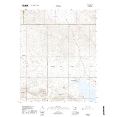
Meers, OK maps
(11)- 1950 Map of Saddle Mountain, 1953 Print
 1950 Saddle Mountain1953 Print · USGSSouthwestern Oklahoma in the early fifties shows a landscape where high granite peaks meet missionary history and early wildlife conservation. Researchers can trace rural school locations like Dixie Sch or find the remote Saddle Mountain Indian Mission and Kiowa Mission tucked among the foothills.2 unique versions available
 - 1955 Map of Lawton, 1958 Print
 1955 Lawton1958 Print · USGSSouthwestern Oklahoma and North Texas are shown here in the mid-fifties, dominated by the Wichita Mountains and the vital Red River watershed. Genealogists and historians can trace the foundations of Lawton alongside rural landmarks like Rainy Mountain Church and Pleasant Hill School.5 unique versions available
 - 1956 Map of Meers, 1959 Print
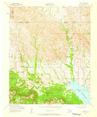 1956 Meers1959 Print · USGSOklahoma's Wichita Mountains meet the plains in the mid-1950s as the small community of Meers anchors the local landscape. Genealogists and historians can trace sites like the Meers Cemetery, the Mount Scott Kiowa Mission, and the shores of Lake Lawtonka.2 unique versions available
 - 1956 Map of Saddle Mountain, 1960 Print
 1956 Saddle Mountain1960 Print · USGSThe Wichita Mountains and surrounding plains are captured in the mid-fifties, featuring the Wichita Mountains Wildlife Refuge and its dramatic peaks. Genealogy researchers can trace community roots at the Cache Indian Mission, Alden School, and Meers Cemetery.
 - 1981 Map of Lawton
 1981 Lawton1981 Print · USGSSouthwestern Oklahoma in the early eighties shows a landscape shaped by military history and the rising peaks of the Wichitas. Researchers can trace the boundaries of the Fort Sill Military Reservation and locate early settlements like Meers, Chattanooga, and Richards Spur.
 - 1991 Map of Meers, 1992 Print
 1991 Meers1992 Print · USGSThe Wichita Mountains foothills come into focus in the early nineties, centered on the community of Meers. Local historians can trace tribal roots at the Mount Scott Kiowa Mission and Mountain Scott Tribal Center near Lake Lawtonka.2 unique versions available
 - 2010 Map of Meers, 2010 Print
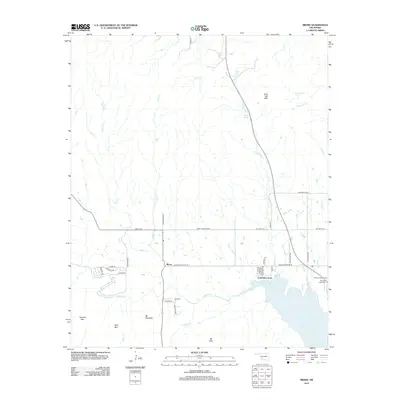
 2010 Meers2010 Print · USGSCovers Meers, including Lawtonka Acres, Comanche County, and other nearby areas
 - 2012 Map of Meers, 2012 Print
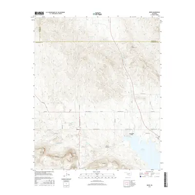
 2012 Meers2012 Print · USGSCovers Meers, including Lawtonka Acres, Comanche County, and other nearby areas
 - 2016 Map of Meers, 2016 Print
 2016 Meers2016 Print · USGSCovers Meers, including Lawtonka Acres, Comanche County, and other nearby areas
 - 2018 Map of Meers, 2018 Print
 2018 Meers2018 Print · USGSCovers Meers, including Lawtonka Acres, Comanche County, and other nearby areas
 - 2022 Map of Meers, 2022 Print
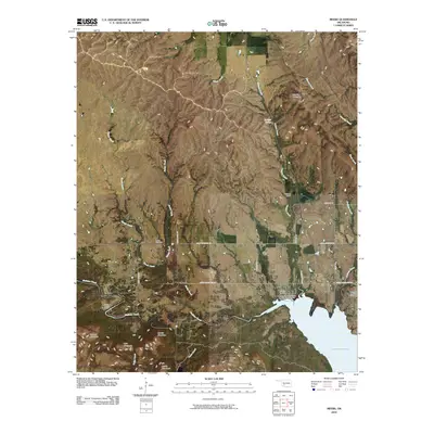
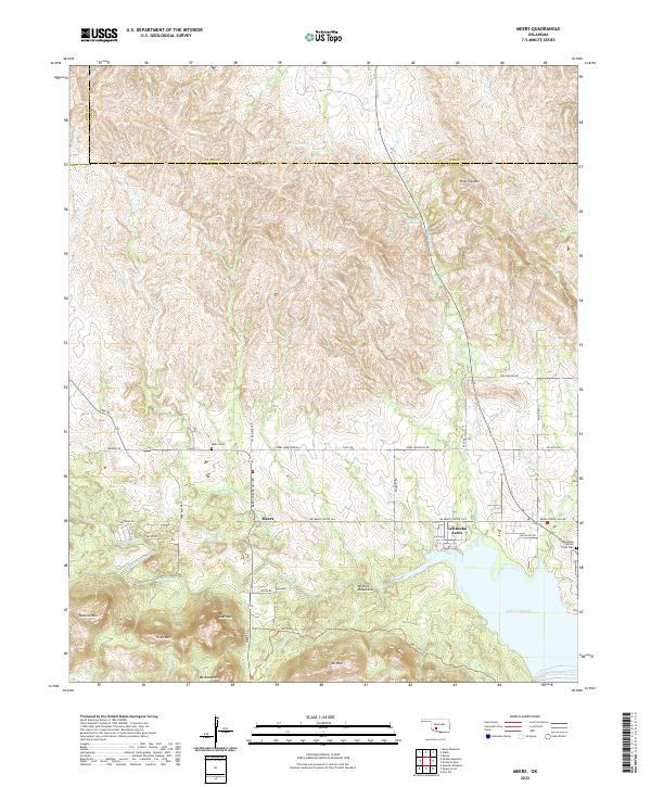 2022 Meers2022 Print · USGSThe Wichita Mountains of Oklahoma meet the shores of Lake Lawtonka in this contemporary record of Comanche County. Local historians and genealogists can trace the landscape around Meers, including the Mountain Scott Tribal Cem and Mt Sheridan.
End of results
Showing maps 1-11 of 11
Top cities near Meers
- Lawton historical maps
- Cache historical maps
- Apache historical maps
- Medicine Park historical maps
- Indiahoma historical maps
Frequently asked questions
- What are the different types of historical maps available for Meers?
- What is the oldest map of Meers?
- Where can I purchase historical maps of Meers for my home or office?
- Where can I download high-res historical maps of Meers?
- Are there historical topographic maps available for Meers?
- Is there historical aerial imagery available for Meers?
- Where are historical maps of Meers sourced from?