Old Maps of Depew, Oklahoma
Explore 19 old maps of Depew, spanning from 1901 to today. These high-resolution historic maps reveal how streets, neighborhoods, landmarks, and natural features evolved over time — perfect for genealogy, metal detecting, research, and local history exploration.
What you can do with these maps:
- See how Depew changed over time: Compare historical maps to modern-day views to trace roads, homesites, rail lines & more.
- View detailed metadata: Each map includes creators, publishers, year, scale, and archive source.
- Overlay maps with satellite & LiDAR: Visualize the past alongside modern tools to explore terrain & human change.
- Trusted historical sources: Maps sourced from the USGS, Library of Congress, and other archives.
- Access maps your way: View online, download high-res files, or order prints for personal or research use.
Start exploring old maps of Depew to uncover forgotten places, hidden landmarks, and the deep history beneath your feet.
Depew, OK maps
(19)- 1901 Map of Nuyaka
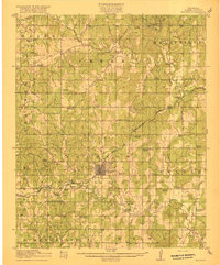
 1901 Nuyaka1901 Print · USGSIndian Territory within the Creek Nation was undergoing rapid change in the late 19th century as railroads connected once-remote outposts. Researchers can trace early settlements and schools like Nuyaka Mission, Bristow, and the crossroads at Smiths Store before Oklahoma reached statehood.4 unique versions available
 - 1916 Map of Bristow
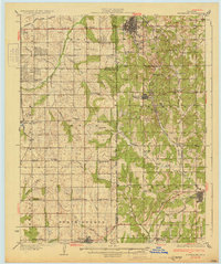
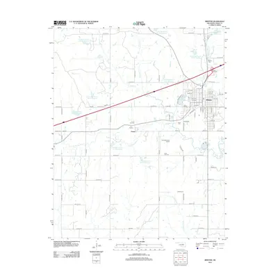
 1916 Bristow1916 Print · USGSBristow and its surrounding Creek County townships appear here during the early oil boom years of the mid-1910s. Researchers can locate dozens of country schools and unique landmarks like the Indian Dance Grounds and the industrial Oil Tank Farm.5 unique versions available
 - 1931 Map of Drumright
 1931 Drumright1931 Print · USGSOklahoma's oil boom era is captured here at its peak, showing the industrial landscape around Drumright and Shamrock. Local historians can trace dozens of rural school sites like Happy Valley Sch and the original path of Highway No 66.4 unique versions available
 - 1954 Map of Oklahoma City
 1954 Oklahoma City1954 Print · USGSOklahoma City and its surrounding counties are captured here in the early fifties during a period of significant postwar growth. Researchers can trace the development of the Turner Turnpike and locate aviation hubs like Tinker Field or Will Rogers Field.
 - 1957 Map of Oklahoma City, 1969 Print
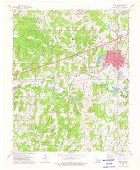
 1957 Oklahoma City1969 Print · USGSCentral Oklahoma is captured here in a period of significant mid-century growth and industrialization. Researchers can trace family roots through numerous rural markers like Memory Lane Cem, New Hope School, and the sprawling grounds of Tinker Air Force Base.3 unique versions available
 - 1963 Map of Oklahoma City
 1963 Oklahoma City1963 Print · USGSCentral Oklahoma in the early sixties showcases a landscape of rapid suburban growth and established oil production. Researchers can trace historic rail lines like the Chicago Rock Island and Pacific RR or locate rural landmarks such as Mayflower School and Bethel Church.
 - 1973 Map of Bristow, 1976 Print
 1973 Bristow1976 Print · USGSThe oil-rich landscape of Creek County is captured here in the early seventies as energy production and interstate travel shaped the region. Researchers can locate family landmarks like Durrant Cem, trace the rail lines of the St Louis-San Francisco, or study the footprint of Edison Sch.
 - 1975 Map of Depew, 1979 Print
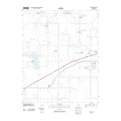
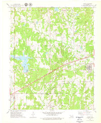 1975 Depew1979 Print · USGSCreek County at the peak of the 1970s energy era reveals a landscape shaped by both the Turner Toll Road and extensive oil field operations. Researchers can trace the legacy of local settlements like Depew and Milfay, or locate family sites at Oakdale Cems and Spring Creek Ch.
 - 1990 Map of Bristow
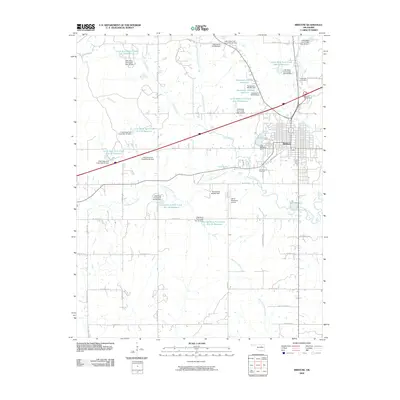
 1990 Bristow1990 Print · USGSCentral Oklahoma's township and range grid is on full display in the 1990s, anchored by the crossroads at Bristow and Sapulpa. Researchers can trace old community lines and regional landmarks from Heyburn Reservoir to the historic streets of Boley.
 - 2009 Map of Depew, 2009 Print
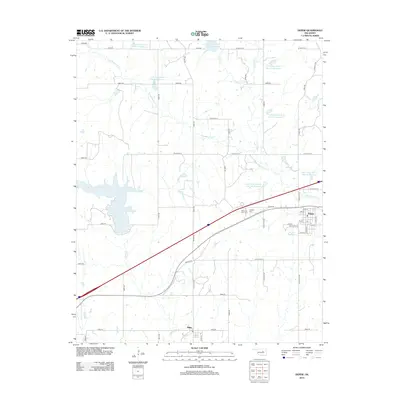
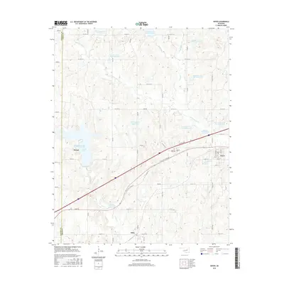
 2009 Depew2009 Print · USGSCovers Depew, including Stroud, Milfay, and other nearby areas
 - 2009 Map of Bristow, 2009 Print
 2009 Bristow2009 Print · USGSCovers Depew, including Bristow, Pulaski, and other nearby areas
 - 2012 Map of Bristow, 2012 Print
 2012 Bristow2012 Print · USGSCovers Depew, including Bristow, Pulaski, and other nearby areas
 - 2012 Map of Depew, 2012 Print
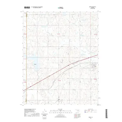
 2012 Depew2012 Print · USGSCovers Depew, including Stroud, Milfay, and other nearby areas
 - 2016 Map of Bristow, 2016 Print
 2016 Bristow2016 Print · USGSCovers Depew, including Bristow, Pulaski, and other nearby areas
 - 2016 Map of Depew, 2016 Print
 2016 Depew2016 Print · USGSCovers Depew, including Stroud, Milfay, and other nearby areas
 - 2018 Map of Depew, 2018 Print
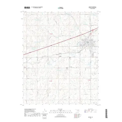
 2018 Depew2018 Print · USGSCovers Depew, including Stroud, Milfay, and other nearby areas
 - 2018 Map of Bristow, 2018 Print
 2018 Bristow2018 Print · USGSCovers Depew, including Bristow, Pulaski, and other nearby areas
 - 2022 Map of Bristow, 2022 Print
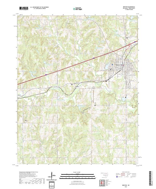 2022 Bristow2022 Print · USGSBristow and the surrounding Oklahoma countryside are captured here in the early twenty-first century as modern transit corridors intersect historical paths. Researchers can locate family burial sites at Magnolia Cemetery or Poor Boy Cemetery and trace the original route of Old Hwy 66.
 - 2022 Map of Depew, 2022 Print
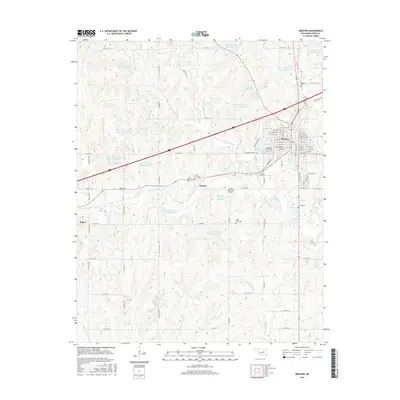
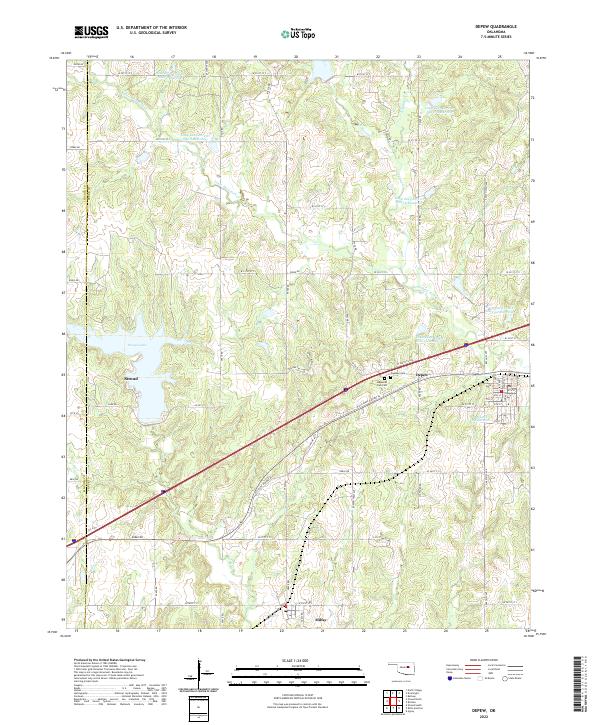 2022 Depew2022 Print · USGSStroud and Depew are shown in modern detail along the historic highway corridor of central Oklahoma. Researchers can trace local burial sites at Oakdale Cem or locate the numerous reservoirs along Little Deep Fork Cr.
End of results
Showing maps 1-19 of 19
Top cities near Depew
Frequently asked questions
- What are the different types of historical maps available for Depew?
- What is the oldest map of Depew?
- Where can I purchase historical maps of Depew for my home or office?
- Where can I download high-res historical maps of Depew?
- Are there historical topographic maps available for Depew?
- Is there historical aerial imagery available for Depew?
- Where are historical maps of Depew sourced from?