Old Maps of Butler, Oklahoma
Explore 19 old maps of Butler, spanning from 1955 to today. These high-resolution historic maps reveal how streets, neighborhoods, landmarks, and natural features evolved over time — perfect for genealogy, metal detecting, research, and local history exploration.
What you can do with these maps:
- See how Butler changed over time: Compare historical maps to modern-day views to trace roads, homesites, rail lines & more.
- View detailed metadata: Each map includes creators, publishers, year, scale, and archive source.
- Overlay maps with satellite & LiDAR: Visualize the past alongside modern tools to explore terrain & human change.
- Trusted historical sources: Maps sourced from the USGS, Library of Congress, and other archives.
- Access maps your way: View online, download high-res files, or order prints for personal or research use.
Start exploring old maps of Butler to uncover forgotten places, hidden landmarks, and the deep history beneath your feet.
Butler, OK maps
(19)- 1955 Map of Clinton, 1964 Print
 1955 Clinton1964 Print · USGSWestern Oklahoma during the mid-century transition shows a landscape of growing reservoirs and active military flight lines. Genealogists and historians can locate rural landmarks such as Mountain View Church, Berlin School, and the Riverside Indian School Reserve.3 unique versions available
 - 1957 Map of Clinton
 1957 Clinton1957 Print · USGSWestern Oklahoma in the mid-fifties is captured here as a landscape of river-valley settlements and emerging energy fields. Genealogists can trace family roots through numerous rural landmarks like the Swapping Back Indian School, Hebron Church, and the Riverside Indian School Reserve.
 - 1957 Map of Butler, 1958 Print
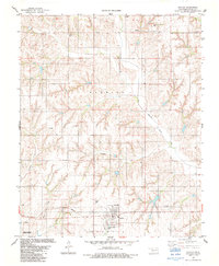
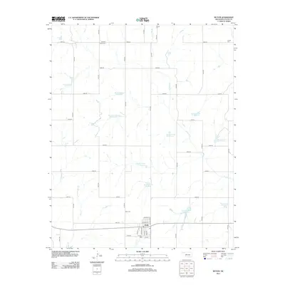
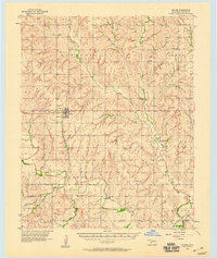 1957 Butler1958 Print · USGSCuster County in the late fifties shows a rural landscape defined by the Washita River and the Santa Fe railroad. Researchers can trace family history through numerous rural landmarks like Prairie View Ch, Anthon Cem, and the village of Stafford.2 unique versions available
 - 1976 Map of Butler NW
 1976 Butler NW1976 Print · USGSCuster County agricultural patterns are captured in detail in the mid-seventies, showing the prairie landscape north of Butler. Researchers can trace the path of West Barnitz Creek and the intricate grid of section-line roads and farmsteads.
 - 1976 Map of Butler SW
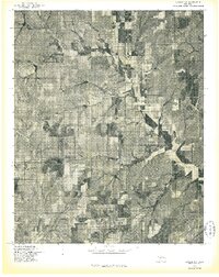
 1976 Butler SW1976 Print · USGSCuster County land and water patterns are captured here in the mid-1970s, showcasing the development of the region's water infrastructure. Trace the early shoreline of Foss Reservoir and the winding course of the Washita River across the plains.
 - 1983 Map of Foss Dam, 1984 Print
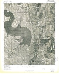
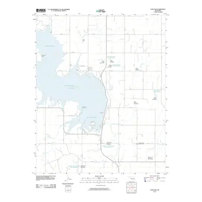
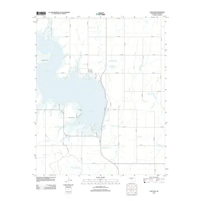
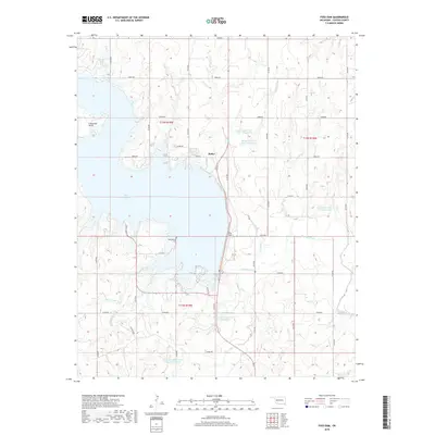
 1983 Foss Dam1984 Print · USGSCuster County was defined by its water and wildlife in the early 1980s as Foss Reservoir reached its modern extent. You can trace the development of Foss State Park and locate regional landmarks like Cheyenne Point and the Washita River channel.
 - 1983 Map of Butler, 1984 Print
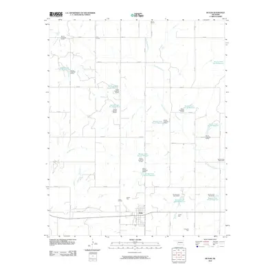
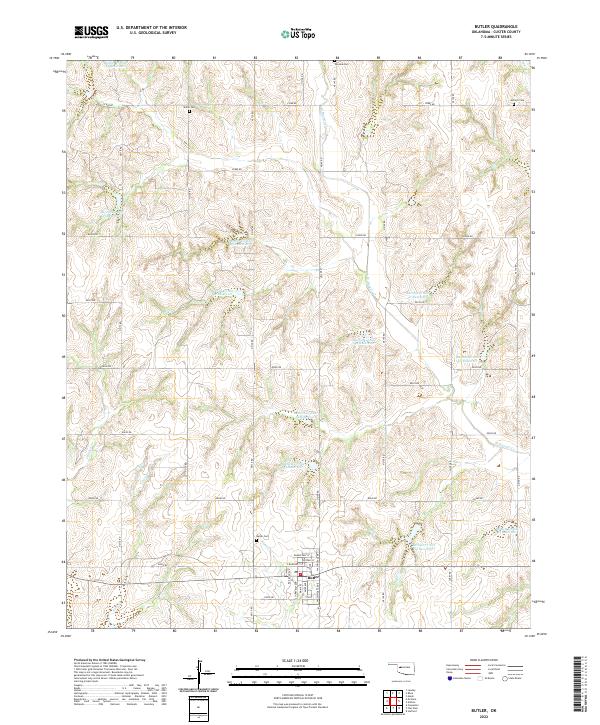
 1983 Butler1984 Print · USGSButler and the surrounding Custer County plains are captured in the early 1980s, documenting a landscape of agriculture and emerging energy production. Researchers can locate rural landmarks like Shiloh Cem, trace the path of Barnitz Creek, or identify numerous Gas Wells.2 unique versions available
 - 1984 Map of Foss Reservoir
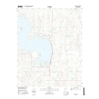
 1984 Foss Reservoir1984 Print · USGSWestern Oklahoma’s river valleys and prairie grasslands are captured here in the mid-eighties, a period of established reservoirs and active energy production. Researchers can trace rural lineages through local hubs like Cheyenne and Hammon or locate landmarks such as the Antelope Hills and Foss Reservoir.
 - 1990 Map of Foss Reservoir, 1991 Print
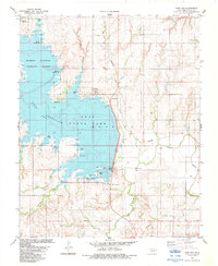
 1990 Foss Reservoir1991 Print · USGSWestern Oklahoma’s prairie and river systems are shown here as they appeared in the 1990s, dominated by conservation lands and water management. Researchers can trace the rail paths of the Atchison Topeka and Santa Fe and locate old rural centers like Strong City and Hammon.
 - 2010 Map of Butler, 2010 Print
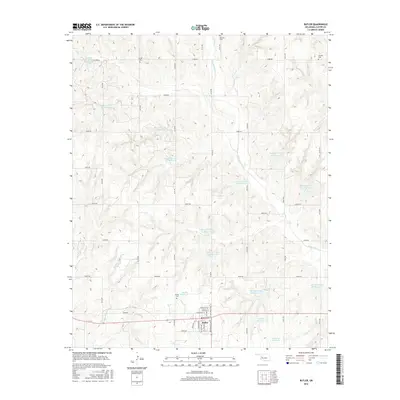
 2010 Butler2010 Print · USGSCovers Butler, including Custer County, United States, and other nearby areas
 - 2010 Map of Foss Dam, 2010 Print
 2010 Foss Dam2010 Print · USGSCovers Butler, including Custer County, United States, and other nearby areas
 - 2012 Map of Butler, 2012 Print
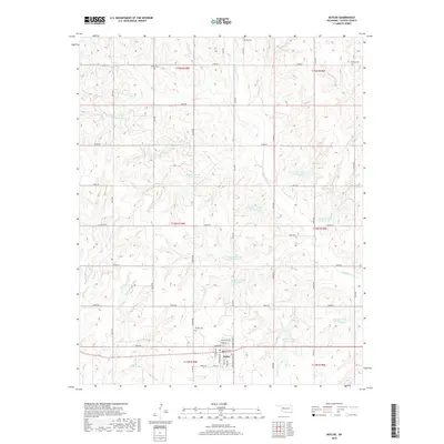
 2012 Butler2012 Print · USGSCovers Butler, including Custer County, United States, and other nearby areas
 - 2012 Map of Foss Dam, 2012 Print
 2012 Foss Dam2012 Print · USGSCovers Butler, including Custer County, United States, and other nearby areas
 - 2016 Map of Foss Dam, 2016 Print
 2016 Foss Dam2016 Print · USGSCovers Butler, including Custer County, United States, and other nearby areas
 - 2016 Map of Butler, 2016 Print
 2016 Butler2016 Print · USGSCovers Butler, including Custer County, United States, and other nearby areas
 - 2018 Map of Butler, 2018 Print
 2018 Butler2018 Print · USGSCovers Butler, including Custer County, United States, and other nearby areas
 - 2018 Map of Foss Dam, 2018 Print
 2018 Foss Dam2018 Print · USGSCovers Butler, including Custer County, United States, and other nearby areas
 - 2022 Map of Butler, 2022 Print
 2022 Butler2022 Print · USGSWestern Oklahoma’s agricultural prairie is documented here in the early twenty-first century, centered on the community of Butler. Researchers can locate several rural burial sites like Shiloh Cem and Osceola Cem among the many local reservoirs.
 - 2022 Map of Foss Dam, 2022 Print
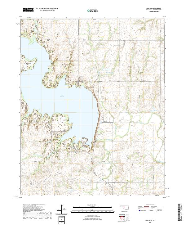 2022 Foss Dam2022 Print · USGSCuster County's agricultural landscape is centered on the massive Foss Reservoir and its supporting watershed infrastructure. Local researchers can trace the course of the Washita River and locate specific catchments like Butler Laterals Site 6 Reservoir.
End of results
Showing maps 1-19 of 19
Top cities near Butler
- Elk City historical maps
- Clinton historical maps
- Burns Flat historical maps
- Arapaho historical maps
- Canute historical maps
- Bessie historical maps
See more
Frequently asked questions
- What are the different types of historical maps available for Butler?
- What is the oldest map of Butler?
- Where can I purchase historical maps of Butler for my home or office?
- Where can I download high-res historical maps of Butler?
- Are there historical topographic maps available for Butler?
- Is there historical aerial imagery available for Butler?
- Where are historical maps of Butler sourced from?