Old Maps of Elk City, Oklahoma
Explore 48 old maps of Elk City, spanning from 1955 to today. These high-resolution historic maps reveal how streets, neighborhoods, landmarks, and natural features evolved over time — perfect for genealogy, metal detecting, research, and local history exploration.
What you can do with these maps:
- See how Elk City changed over time: Compare historical maps to modern-day views to trace roads, homesites, rail lines & more.
- View detailed metadata: Each map includes creators, publishers, year, scale, and archive source.
- Overlay maps with satellite & LiDAR: Visualize the past alongside modern tools to explore terrain & human change.
- Trusted historical sources: Maps sourced from the USGS, Library of Congress, and other archives.
- Access maps your way: View online, download high-res files, or order prints for personal or research use.
Start exploring old maps of Elk City to uncover forgotten places, hidden landmarks, and the deep history beneath your feet.
Elk City, OK maps
(48)- 1955 Map of Clinton, 1964 Print
 1955 Clinton1964 Print · USGSWestern Oklahoma during the mid-century transition shows a landscape of growing reservoirs and active military flight lines. Genealogists and historians can locate rural landmarks such as Mountain View Church, Berlin School, and the Riverside Indian School Reserve.3 unique versions available
 - 1957 Map of Clinton
 1957 Clinton1957 Print · USGSWestern Oklahoma in the mid-fifties is captured here as a landscape of river-valley settlements and emerging energy fields. Genealogists can trace family roots through numerous rural landmarks like the Swapping Back Indian School, Hebron Church, and the Riverside Indian School Reserve.
 - 1960 Map of Sayre, 1961 Print
 1960 Sayre1961 Print · USGSWestern Oklahoma’s river valleys and rail lines are captured here at the dawn of the 1960s. Genealogists can locate rural landmarks such as Lone Oak Ch, the Sayre-Doxey Cem, and the community of Delhi.2 unique versions available
 - 1961 Map of Willow, 1963 Print
 1961 Willow1963 Print · USGSWestern Oklahoma in the early sixties remains a landscape of rail-connected farming towns and winding river forks. Family historians can trace rural roots through Deer Creek Ch, Carter Cem, and the path of the Missouri Kansas Texas railroad.2 unique versions available
 - 1961 Map of Elk City, 1963 Print
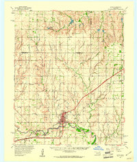
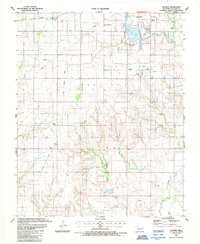
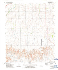
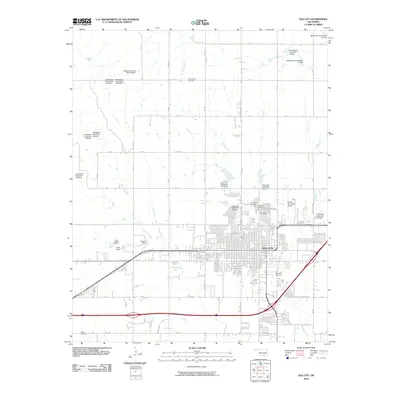
 1961 Elk City1963 Print · USGSThe Beckham County plains in the early sixties reveal a landscape shaped by Route 66 and the energy industry. Genealogists and historians can trace rural family sites like Hefner Church, the Ural Cemetery, and local landmarks such as Merritt School.
 - 1985 Map of Elk City
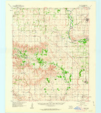
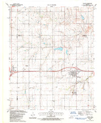
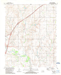
 1985 Elk City1985 Print · USGSWestern Oklahoma in the 1980s is defined by its railroad junctions, emerging aviation hubs, and the winding North Fork Red River. Genealogists and local historians can trace the foundations of Sayre and Elk City, alongside landmarks like Clinton-Sherman Airport and Quartz Mountain State Park.2 unique versions available
 - 1987 Map of Elk City
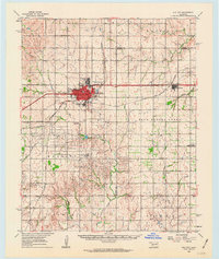
 1987 Elk City1987 Print · USGSElk City is shown at a peak of its late-century development, where the FARMRAIL line and energy industry intersect. Genealogists and historians can trace local family roots through sites like Evergreen Cem, Grandview Ch, and the Old Town Museum.
 - 1987 Map of Hocker
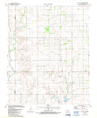
 1987 Hocker1987 Print · USGSThe Oklahoma gas fields of the late eighties are mapped in detail alongside the older rural settlements of Beckham County. Researchers can trace the Old Railroad Grade past Hocker or find family history at Bellview Cem and Ural Cem.
 - 1987 Map of Canute
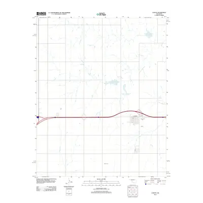
 1987 Canute1987 Print · USGSWestern Oklahoma during the late eighties shows a landscape of steady production and small-town roots between Elk City and Canute. Genealogists can trace family plots at Holy Family Cem and Hebron Cem or follow the path of the Farmrail line.
 - 1987 Map of Elk City SE
 1987 Elk City SE1987 Print · USGSWestern Oklahoma during the late eighties shows a landscape of energy production and rural community life. Genealogists and local historians can trace the foundations of the area at the settlement of Forty One and rural churches like Hefner Ch.
 - 1989 Map of Carter West
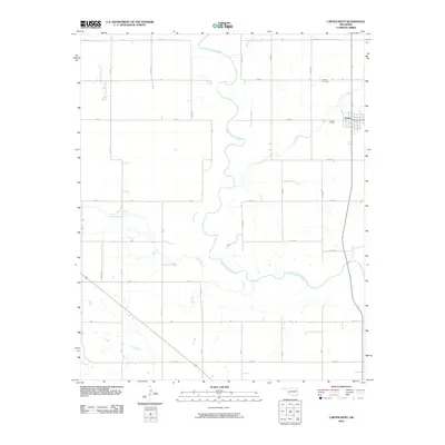
 1989 Carter West1989 Print · USGSWestern Oklahoma’s plains near Carter are captured here in the late 1980s, revealing a landscape of winding river bends and energy infrastructure. Researchers can trace the Old Grade, find the Spring Creek Ch, and locate the Gaging Station along the North Fork Red River.
 - 1989 Map of Delhi
 1989 Delhi1989 Print · USGSBeckham County in the late eighties reveals a landscape shaped by rural life and the energy industry. Genealogists and historians can trace family-named sites near Delhi, locate the community Cem, or study infrastructure like the Gas Storage Area and Sayre Municipal Airport.
 - 1989 Map of Doxey
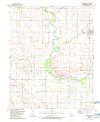
 1989 Doxey1989 Print · USGSBeckham County in the late eighties shows a landscape of river bends and energy production along the North Fork Red River. Genealogists and local historians can trace the areas around Sayre, Doxey, and the Sayre-Doxey Cem.
 - 2010 Map of Hocker, 2010 Print
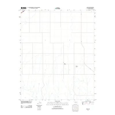
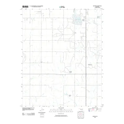 2010 Hocker2010 Print · USGSCovers Elk City, including Hocker, Beckham County, and other nearby areas
 - 2010 Map of Elk City SE, 2010 Print
 2010 Elk City SE2010 Print · USGSCovers Elk City, including Beckham County, Washita County, and other nearby areas
 - 2010 Map of Canute, 2010 Print
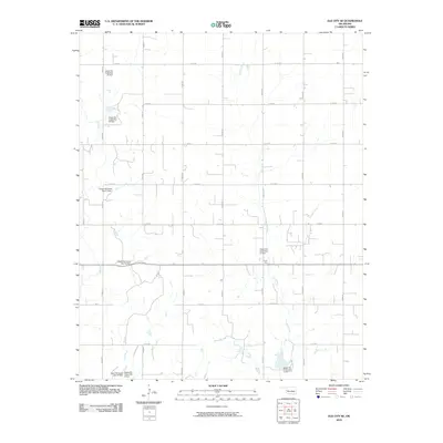
 2010 Canute2010 Print · USGSCovers Elk City, including Canute, Custer County, and other nearby areas
 - 2010 Map of Doxey, 2010 Print
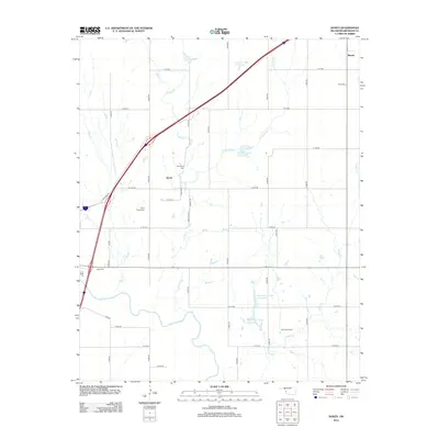
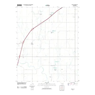 2010 Doxey2010 Print · USGSCovers Elk City, including Sayre, Doxey, and other nearby areas
 - 2010 Map of Elk City, 2010 Print
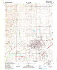
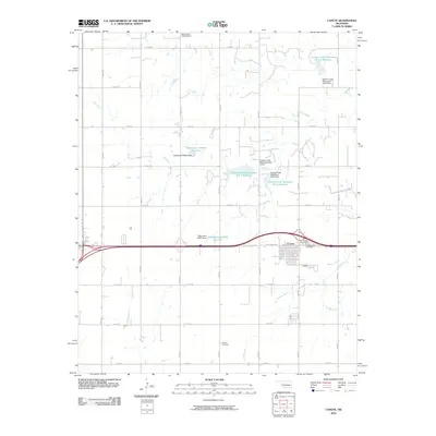
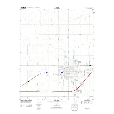
 2010 Elk City2010 Print · USGSCovers Elk City, including Beckham County, United States, and other nearby areas
 - 2010 Map of Delhi, 2010 Print
 2010 Delhi2010 Print · USGSCovers Elk City, including Sayre, Delhi, and other nearby areas
 - 2010 Map of Carter West, 2010 Print
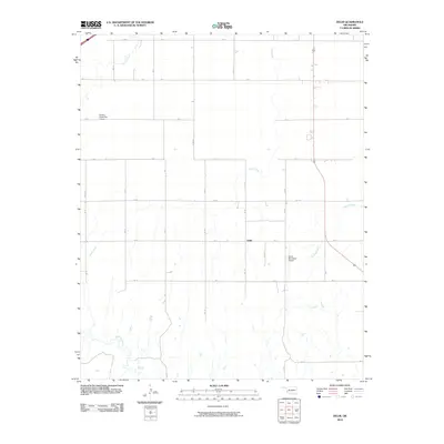
 2010 Carter West2010 Print · USGSCovers Elk City, including Carter, Beckham County, and other nearby areas
 - 2012 Map of Carter West, 2012 Print
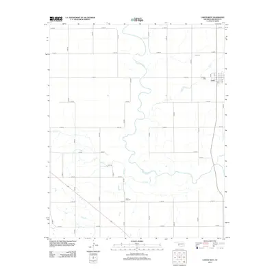 2012 Carter West2012 Print · USGSCovers Elk City, including Carter, Beckham County, and other nearby areas
 - 2012 Map of Delhi, 2012 Print
 2012 Delhi2012 Print · USGSCovers Elk City, including Sayre, Delhi, and other nearby areas
 - 2012 Map of Doxey, 2012 Print
 2012 Doxey2012 Print · USGSCovers Elk City, including Sayre, Doxey, and other nearby areas
 - 2012 Map of Elk City, 2012 Print
 2012 Elk City2012 Print · USGSCovers Elk City, including Beckham County, United States, and other nearby areas
 - 2012 Map of Canute, 2012 Print
 2012 Canute2012 Print · USGSCovers Elk City, including Canute, Custer County, and other nearby areas
Showing maps 1-25 of 48
Top cities near Elk City
Top neighborhoods of Elk City
Frequently asked questions
- What are the different types of historical maps available for Elk City?
- What is the oldest map of Elk City?
- Where can I purchase historical maps of Elk City for my home or office?
- Where can I download high-res historical maps of Elk City?
- Are there historical topographic maps available for Elk City?
- Is there historical aerial imagery available for Elk City?
- Where are historical maps of Elk City sourced from?