Old Maps of Bernice, Oklahoma for Academic Research
Study the evolution of Bernice with 24 high-resolution historic maps. Whether you're teaching, researching, or modeling changes in land use, these maps provide essential visual documentation of urban, environmental, and geographic change.
- Analyze long-term change: Track patterns in development, transportation, and natural features.
- Ideal for environmental or urban studies: Support academic projects with primary historical map data.
- Use in the classroom or lab: Educators and researchers rely on these maps to bring historical context to life.
These maps are a powerful tool for teaching, research, and visualizing how Bernice has changed over the decades.
Bernice, OK maps
(24)- 1907 Map of Wyandotte, 1954 Print
 1907 Wyandotte1954 Print · USGSThe Tri-State border region at the start of the twentieth century shows a landscape of river ferries and early rail towns. Trace the locations of family landmarks like Hickory Grove Church, Goad Eagle Ferry, and rural schools from Afton to Seneca.2 unique versions available
 - 1909 Map of Wyandotte
 1909 Wyandotte1909 Print · USGSNortheastern Oklahoma’s river valleys and prairies are captured here just after statehood, during a period of rapid rail expansion and tribal land transition. Researchers can trace early river crossings like Rodwhite Ferry and locate historic community centers such as Hickory Grove Church or the Bluejacket School.2 unique versions available
 - 1954 Map of Tulsa
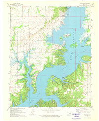
 1954 Tulsa1954 Print · USGSNortheast Oklahoma and the Ozark border are shown here during a period of massive industrial and infrastructure growth. Researchers can trace the legacy of the Tri-State Mining District and the development of major reservoirs like Grand Lake O' The Cherokees.2 unique versions available
 - 1958 Map of Tulsa, 1968 Print
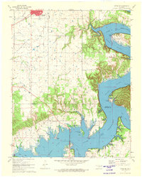
 1958 Tulsa1968 Print · USGSNortheast Oklahoma and the Ozark borderlands are captured here during a massive era of reservoir construction and highway expansion. Researchers can trace the mid-century footprints of Tulsa, the sprawling Lake O' the Cherokees, and historical sites like Pea Ridge National Military Park.3 unique versions available
 - 1963 Map of Tulsa
 1963 Tulsa1963 Print · USGSThe Oklahoma and Arkansas borderlands are shown here in the early sixties, a time of massive reservoir construction and heavy mining. Genealogists can trace family roots through settlements like Nowata, Pryor, and Jay, or locate historical zinc and lead mines and coal mines.
 - 1971 Map of Afton, 1973 Print
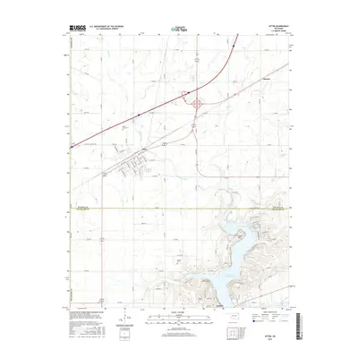
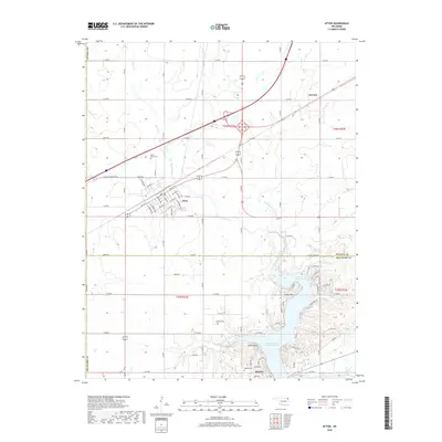
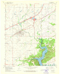 1971 Afton1973 Print · USGSAfton and Bernice sit at the crossroads of Northeastern Oklahoma in the early 1970s, where the turnpike and rail lines meet the Grand Lake shoreline. Genealogists can locate family landmarks like Mt Hope Cem and Sixkiller Cem near the winding Horse Creek.
 - 1971 Map of Bernice, 1973 Print
 1971 Bernice1973 Print · USGSDelaware County shoreline and the Neosho River valley appear in detail during the early 1970s as lakefront life centered around Bernice and Cleora. Researchers can trace rural family sites like Wallen Cem, the Cleora Sch, and the winding Old Railroad Grade.2 unique versions available
 - 1971 Map of Afton NE, 1973 Print
 1971 Afton NE1973 Print · USGSNortheastern Oklahoma in the early seventies shows the intersection of the Missouri-Pacific rail lines and the growing shoreline of Grand Lake. You can trace old transit routes like the Old Railroad Grade and locate family landmarks such as St Elizabeth Mission and Fairland Cem.2 unique versions available
 - 1986 Map of Neosho
 1986 Neosho1986 Print · USGSThe tri-state border region comes alive in the mid-eighties as a landscape of mining heritage and river valleys. Researchers can trace the rail lines of the Kansas City Southern Ry and locate rural landmarks like Gibson Cem and Peoria.2 unique versions available
 - 2010 Map of Afton, 2010 Print
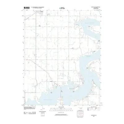
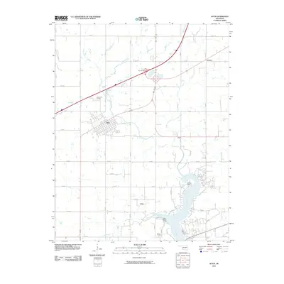 2010 Afton2010 Print · USGSCovers Bernice, including Afton, Oseuma, and other nearby areas
 - 2010 Map of Bernice, 2010 Print
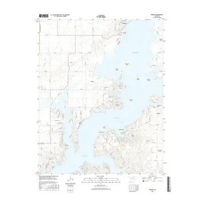
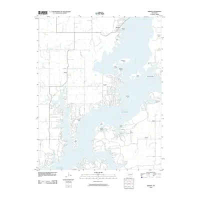 2010 Bernice2010 Print · USGSCovers Bernice, including Cleora, Dennis, and other nearby areas
 - 2010 Map of Afton NE, 2010 Print
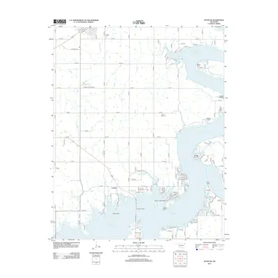
 2010 Afton NE2010 Print · USGSCovers Bernice, including Grove, Fairland, and other nearby areas
 - 2012 Map of Afton NE, 2012 Print
 2012 Afton NE2012 Print · USGSCovers Bernice, including Grove, Fairland, and other nearby areas
 - 2012 Map of Bernice, 2012 Print
 2012 Bernice2012 Print · USGSCovers Bernice, including Cleora, Dennis, and other nearby areas
 - 2012 Map of Afton, 2012 Print
 2012 Afton2012 Print · USGSCovers Bernice, including Afton, Oseuma, and other nearby areas
 - 2016 Map of Bernice, 2016 Print
 2016 Bernice2016 Print · USGSCovers Bernice, including Cleora, Dennis, and other nearby areas
 - 2016 Map of Afton, 2016 Print
 2016 Afton2016 Print · USGSCovers Bernice, including Afton, Oseuma, and other nearby areas
 - 2016 Map of Afton NE, 2016 Print
 2016 Afton NE2016 Print · USGSCovers Bernice, including Grove, Fairland, and other nearby areas
 - 2018 Map of Bernice, 2018 Print
 2018 Bernice2018 Print · USGSCovers Bernice, including Cleora, Dennis, and other nearby areas
 - 2018 Map of Afton, 2018 Print
 2018 Afton2018 Print · USGSCovers Bernice, including Afton, Oseuma, and other nearby areas
 - 2018 Map of Afton NE, 2018 Print
 2018 Afton NE2018 Print · USGSCovers Bernice, including Grove, Fairland, and other nearby areas
 - 2022 Map of Bernice, 2022 Print
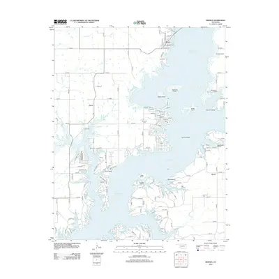
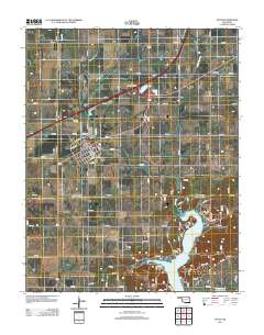
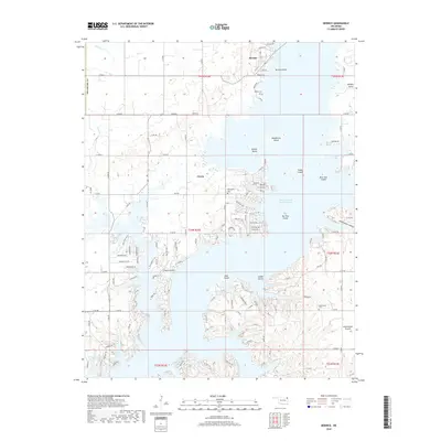
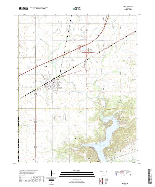
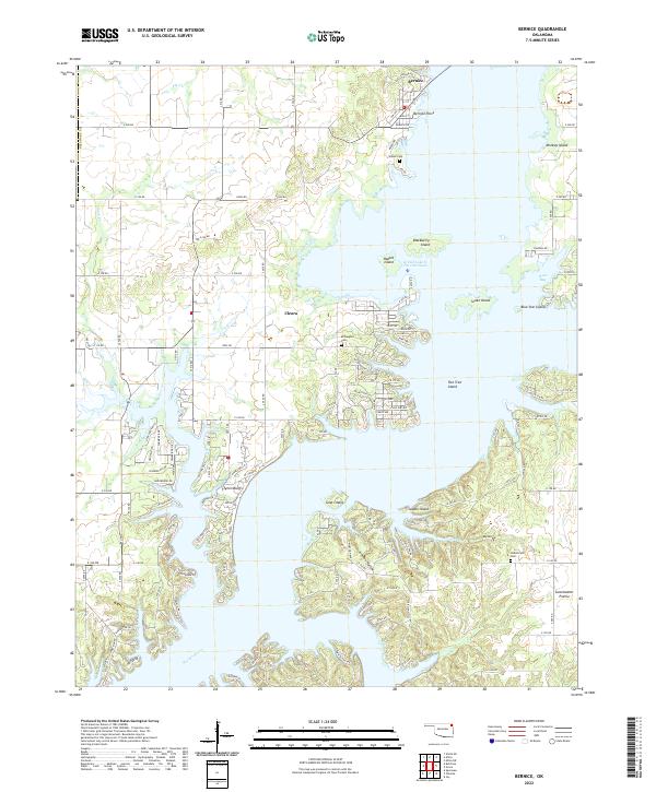 2022 Bernice2022 Print · USGSThe Bernice area and the Neosho River valley appear here in their modern form after the creation of the Grand Lake O' The Cherokees. Historians can trace local family lineages through Wallen Cem and Hilderbrand Cem or explore the development of Monkey Island and Bernice.
 - 2022 Map of Afton NE, 2022 Print
 2022 Afton NE2022 Print · USGSNortheastern Oklahoma's lake country is detailed in this recent survey of the transition from the Neosho River to the reservoir. Researchers can pinpoint early burial sites like Hickory Grove Cem and trace the shoreline from Wilson Point to Catfish Point.
 - 2022 Map of Afton, 2022 Print
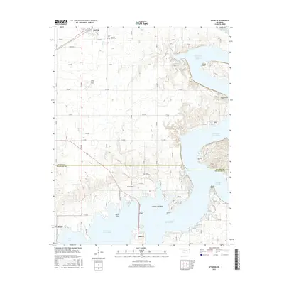
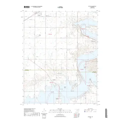
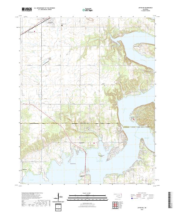
 2022 Afton2022 Print · USGSNortheastern Oklahoma's lake country is captured here during a period of modern growth near the shores of Grand Lake O' The Cherokees. Researchers can trace family history at Mount Hope Cem or Sixkiller Cem and explore the residential expansion at Indian Hills and Bernice.
End of results
Showing maps 1-24 of 24
Top cities near Bernice
- Miami historical maps
- Grove historical maps
- Jay historical maps
- Afton historical maps
- Fairland historical maps
- Langley historical maps
See more
Frequently asked questions
- What are the different types of historical maps available for Bernice?
- What is the oldest map of Bernice?
- Where can I purchase historical maps of Bernice for my home or office?
- Where can I download high-res historical maps of Bernice?
- Are there historical topographic maps available for Bernice?
- Is there historical aerial imagery available for Bernice?
- Where are historical maps of Bernice sourced from?