Old Maps of Cestos, Oklahoma for Genealogy
Trace your family roots with 9 historic maps of Cestos. These high-res maps reveal old neighborhoods, homesites, landmarks, and streets — helping you uncover where your ancestors lived and how the area evolved over time.
- Explore historic neighborhoods: Identify where your relatives may have lived in the 1800s or 1900s.
- Compare maps over time: Trace the changes in streets, buildings, and landmarks for multi-generational research.
- Perfect for genealogy & ancestry research: Used by family historians and researchers to map out lineage and migration.
These maps are an incredible resource for exploring your personal connection to Cestos's past.
Cestos, OK maps
(9)- 1955 Map of Woodward, 1967 Print
 1955 Woodward1967 Print · USGSNorthwest Oklahoma and the bordering plains are captured during the mid-sixties, showing a landscape defined by river valleys and massive water projects. Researchers can trace family roots in towns like Woodward and Alva or locate landmarks such as the Western Oklahoma State Hospital and Kegelman AF.3 unique versions available
 - 1958 Map of Woodward
 1958 Woodward1958 Print · USGSNorthwest Oklahoma and the neighboring panhandle borders are shown here during a period of steady mid-century growth. Researchers can trace the rail networks of the Atchison Topeka and Santa Fe and locate landmarks like the Western Oklahoma State Hospital and Port Supply Reservoir.2 unique versions available
 - 1969 Map of Mutual NE, 1972 Print
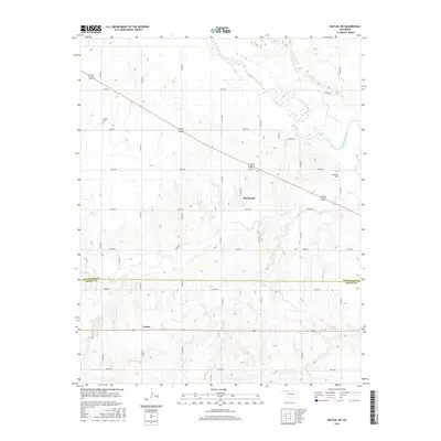
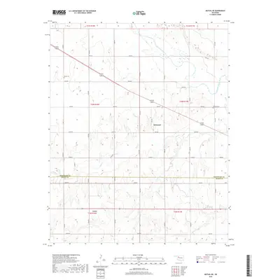
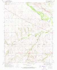 1969 Mutual NE1972 Print · USGSThe Woodward and Dewey County line area in the late sixties reveals a landscape shaped by early territories and river hydrology. Researchers can locate the Old Indian Treaty Boundary and trace family sites near Dunlap Cem and the settlement of Cestos.
 - 1985 Map of Woodward
 1985 Woodward1985 Print · USGSNorthwest Oklahoma during the mid-eighties shows a landscape defined by cattle country, energy production, and historic rail towns. Researchers can trace the Old Indian Treaty Boundary and find local landmarks like Crystal Beach Lake and Boiling Springs State Park.2 unique versions available
 - 2010 Map of Mutual NE, 2010 Print
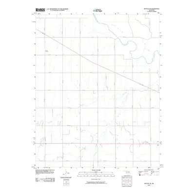 2010 Mutual NE2010 Print · USGSCovers Cestos, including Richmond, Woodward County, and other nearby areas
 - 2012 Map of Mutual NE, 2012 Print
 2012 Mutual NE2012 Print · USGSCovers Cestos, including Richmond, Woodward County, and other nearby areas
 - 2016 Map of Mutual NE, 2016 Print
 2016 Mutual NE2016 Print · USGSCovers Cestos, including Richmond, Woodward County, and other nearby areas
 - 2018 Map of Mutual NE, 2018 Print
 2018 Mutual NE2018 Print · USGSCovers Cestos, including Richmond, Woodward County, and other nearby areas
 - 2022 Map of Mutual NE, 2022 Print
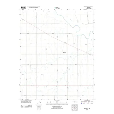
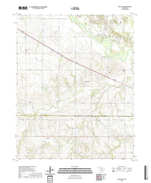 2022 Mutual NE2022 Print · USGSNorthwestern Oklahoma’s rural landscape is captured here along the Woodward Co Dewey Co line during the early twenty-first century. Researchers can locate family sites near Richmond and Cestos, or trace the grounds of Dunlap Cem and Richmond Cem.
End of results
Showing maps 1-9 of 9
Top cities near Cestos
- Seiling historical maps
- Vici historical maps
- Taloga historical maps
- Camargo historical maps
- Mutual historical maps
Frequently asked questions
- What are the different types of historical maps available for Cestos?
- What is the oldest map of Cestos?
- Where can I purchase historical maps of Cestos for my home or office?
- Where can I download high-res historical maps of Cestos?
- Are there historical topographic maps available for Cestos?
- Is there historical aerial imagery available for Cestos?
- Where are historical maps of Cestos sourced from?