Old Maps of Leedey, Oklahoma for Academic Research
Study the evolution of Leedey with 17 high-resolution historic maps. Whether you're teaching, researching, or modeling changes in land use, these maps provide essential visual documentation of urban, environmental, and geographic change.
- Analyze long-term change: Track patterns in development, transportation, and natural features.
- Ideal for environmental or urban studies: Support academic projects with primary historical map data.
- Use in the classroom or lab: Educators and researchers rely on these maps to bring historical context to life.
These maps are a powerful tool for teaching, research, and visualizing how Leedey has changed over the decades.
Leedey, OK maps
(17)- 1955 Map of Clinton, 1964 Print
 1955 Clinton1964 Print · USGSWestern Oklahoma during the mid-century transition shows a landscape of growing reservoirs and active military flight lines. Genealogists and historians can locate rural landmarks such as Mountain View Church, Berlin School, and the Riverside Indian School Reserve.3 unique versions available
 - 1957 Map of Clinton
 1957 Clinton1957 Print · USGSWestern Oklahoma in the mid-fifties is captured here as a landscape of river-valley settlements and emerging energy fields. Genealogists can trace family roots through numerous rural landmarks like the Swapping Back Indian School, Hebron Church, and the Riverside Indian School Reserve.
 - 1961 Map of Leedey, 1963 Print
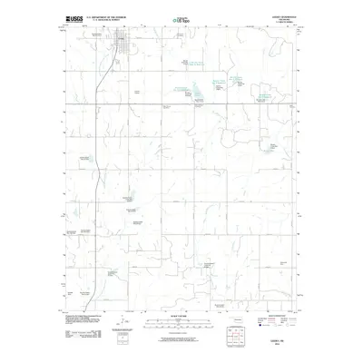
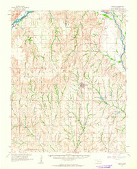 1961 Leedey1963 Print · USGSIn the early 1960s, Western Oklahoma's agrarian character was defined by the intersection of rail lines and quiet rural communities. Researchers can trace the legacy of early settlers through numerous landmarks like Evergreen Cem, Liberty Center Ch, and the winding Canadian River.2 unique versions available
 - 1984 Map of Foss Reservoir
 1984 Foss Reservoir1984 Print · USGSWestern Oklahoma’s river valleys and prairie grasslands are captured here in the mid-eighties, a period of established reservoirs and active energy production. Researchers can trace rural lineages through local hubs like Cheyenne and Hammon or locate landmarks such as the Antelope Hills and Foss Reservoir.
 - 1987 Map of Leedey
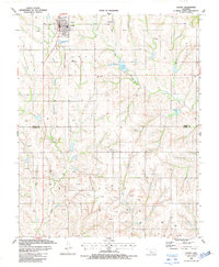 1987 Leedey1987 Print · USGSWest Oklahoma's rural landscape is captured here in the late eighties, centered on the grid of Leedey and the surrounding energy fields. Researchers can trace the Old Railroad Grade and locate family burial sites at Evergreen Cem or New Hermon Cem.
 - 1987 Map of Trail
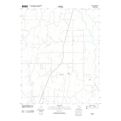
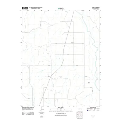
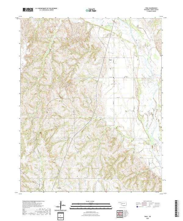
 1987 Trail1987 Print · USGSDewey County energy production and old transportation routes are well-documented in this late 1980s survey. Researchers can trace the Old Railroad Grade and locate family burial sites at Trail Cem among the active gas fields.
 - 1990 Map of Foss Reservoir, 1991 Print
 1990 Foss Reservoir1991 Print · USGSWestern Oklahoma’s prairie and river systems are shown here as they appeared in the 1990s, dominated by conservation lands and water management. Researchers can trace the rail paths of the Atchison Topeka and Santa Fe and locate old rural centers like Strong City and Hammon.
 - 2010 Map of Trail, 2010 Print
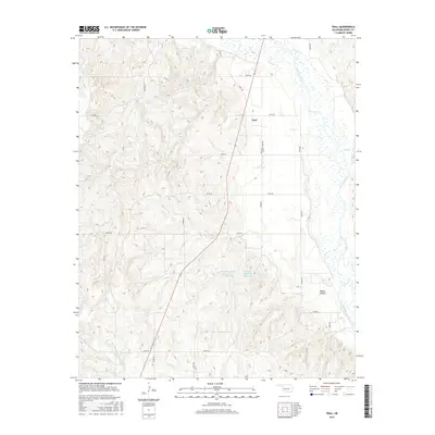
 2010 Trail2010 Print · USGSCovers Leedey, including Trail, Dewey County, and other nearby areas
 - 2010 Map of Leedey, 2010 Print
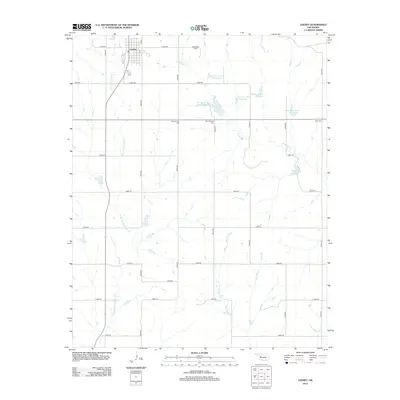
 2010 Leedey2010 Print · USGSCovers Leedey, including Custer County, Dewey County, and other nearby areas
 - 2012 Map of Trail, 2012 Print
 2012 Trail2012 Print · USGSCovers Leedey, including Trail, Dewey County, and other nearby areas
 - 2012 Map of Leedey, 2012 Print
 2012 Leedey2012 Print · USGSCovers Leedey, including Custer County, Dewey County, and other nearby areas
 - 2016 Map of Trail, 2016 Print
 2016 Trail2016 Print · USGSCovers Leedey, including Trail, Dewey County, and other nearby areas
 - 2016 Map of Leedey, 2016 Print
 2016 Leedey2016 Print · USGSCovers Leedey, including Custer County, Dewey County, and other nearby areas
 - 2018 Map of Leedey, 2018 Print
 2018 Leedey2018 Print · USGSCovers Leedey, including Custer County, Dewey County, and other nearby areas
 - 2018 Map of Trail, 2018 Print
 2018 Trail2018 Print · USGSCovers Leedey, including Trail, Dewey County, and other nearby areas
 - 2022 Map of Trail, 2022 Print
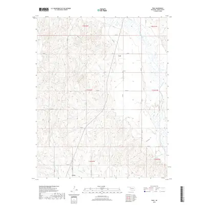
 2022 Trail2022 Print · USGSThe western Oklahoma plains near the Canadian River come into focus in this recent survey of Dewey County. Researchers can locate the settlement of Trail, its nearby Trail Cem, and the winding paths of Red Cr and W Quartermaster Cr.
 - 2022 Map of Leedey, 2022 Print
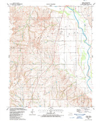
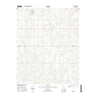
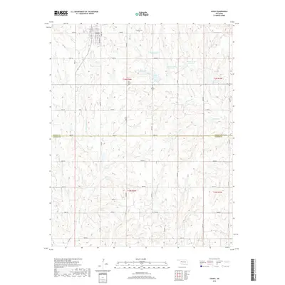
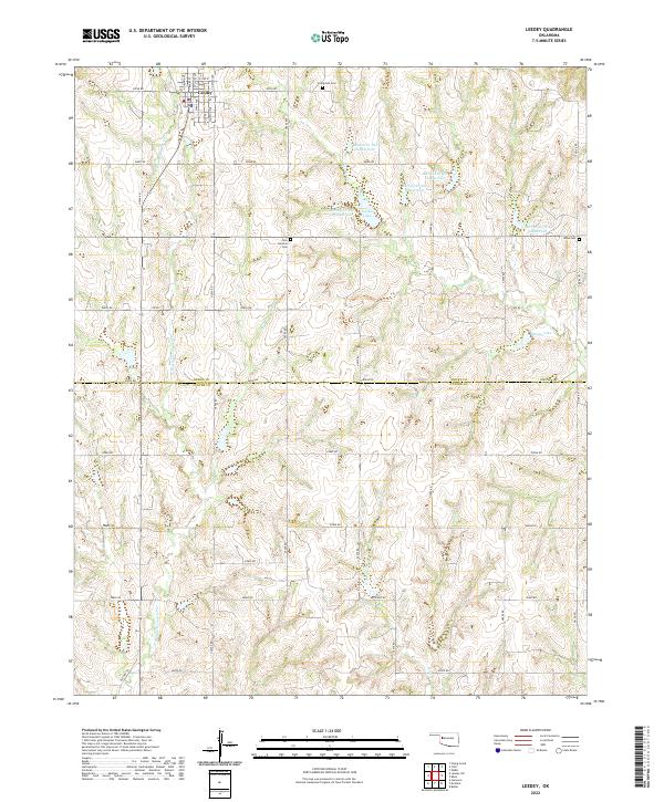 2022 Leedey2022 Print · USGSThe town of Leedey is captured here in the early 2020s, showing its street plan and the surrounding agricultural lands of Dewey and Custer Counties. Genealogists and local historians can trace rural burial sites like Rhea Cemetery and water features including Leedey Lake.
End of results
Showing maps 1-17 of 17
Top cities near Leedey
Frequently asked questions
- What are the different types of historical maps available for Leedey?
- What is the oldest map of Leedey?
- Where can I purchase historical maps of Leedey for my home or office?
- Where can I download high-res historical maps of Leedey?
- Are there historical topographic maps available for Leedey?
- Is there historical aerial imagery available for Leedey?
- Where are historical maps of Leedey sourced from?