Old Maps of Breckenridge, Oklahoma for Genealogy
Trace your family roots with 17 historic maps of Breckenridge. These high-res maps reveal old neighborhoods, homesites, landmarks, and streets — helping you uncover where your ancestors lived and how the area evolved over time.
- Explore historic neighborhoods: Identify where your relatives may have lived in the 1800s or 1900s.
- Compare maps over time: Trace the changes in streets, buildings, and landmarks for multi-generational research.
- Perfect for genealogy & ancestry research: Used by family historians and researchers to map out lineage and migration.
These maps are an incredible resource for exploring your personal connection to Breckenridge's past.
Breckenridge, OK maps
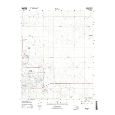
(17)- 1955 Map of Enid East, 1957 Print
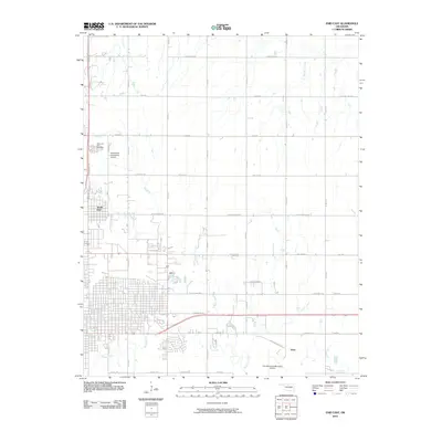
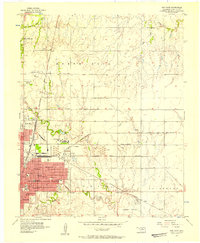 1955 Enid East1957 Print · USGSMid-century Garfield County is revealed as a bustling rail and oil center just as its urban borders began to expand. Genealogists and historians can trace the footprint of Phillips University, the industrial Oil Refinery, and rural landmarks like Pleasant Vale Ch.4 unique versions available
 - 1955 Map of Enid, 1966 Print
 1955 Enid1966 Print · USGSNorth-central Oklahoma's transition from open plains to the blackjack hills of the Osage Indian Reservation is captured in the mid-1950s. Researchers can trace the development of the Naval Reserve Oil Field, the grounds of Vance AFB, and the early footprints of Tulsa and Stillwater.4 unique versions available
 - 1956 Map of Garber, 1957 Print
 1956 Garber1957 Print · USGSGarfield County in the mid-fifties is a landscape of oil production and railway junctions. Researchers can trace the heritage of rural communities through sites like Sunny Bower Sch, Our Ch, and the old rail siding at Cropper.2 unique versions available
 - 1956 Map of Enid, 1957 Print
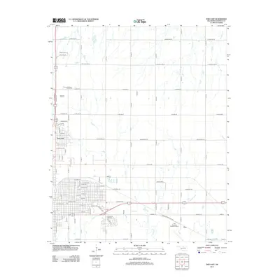
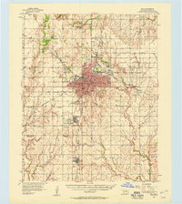 1956 Enid1957 Print · USGSEnid and its surrounding townships thrive in the mid-1950s as a major Oklahoma rail and petroleum hub. Genealogists and historians can trace the foundations of local life at Phillips University, Vance Air Force Base, and rural landmarks like Banner Ch.3 unique versions available
 - 1958 Map of Enid
 1958 Enid1958 Print · USGSNorthern Oklahoma is mapped here in the late fifties, showcasing a dense network of petroleum production and historic tribal lands. Researchers can trace the legacy of the Osage Indian Reservation, early energy hubs like the Cushing Oil Field, and the Chilocco Indian Agricultural School.2 unique versions available
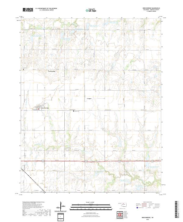
 - 1982 Map of Breckinridge, 1983 Print
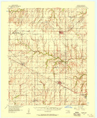
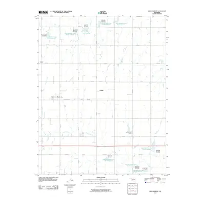
 1982 Breckinridge1983 Print · USGSGarfield County's rural energy and rail corridors are captured in the early eighties as the oil and gas fields shaped the local economy. Genealogists and historians can trace the tracks of the Burlington Northern and locate sites near Breckinridge and Cropper.
 - 1990 Map of Enid
 1990 Enid1990 Print · USGSNorth-central Oklahoma's aviation and energy hubs are captured in the 1990s, from the streets of Stillwater to the runways of Vance Air Force Base. Researchers can locate active Oil and Gas Fields and trace local waterways like Skeleton Creek and Black Bear Creek.
 - 2010 Map of Breckinridge, 2010 Print
 2010 Breckinridge2010 Print · USGSCovers Breckenridge, including Cropper, Breckinridge, and other nearby areas
 - 2010 Map of Enid East, 2010 Print
 2010 Enid East2010 Print · USGSCovers Breckenridge, including Enid, North Enid, and other nearby areas
 - 2012 Map of Enid East, 2012 Print
 2012 Enid East2012 Print · USGSCovers Breckenridge, including Enid, North Enid, and other nearby areas
 - 2012 Map of Breckinridge, 2012 Print
 2012 Breckinridge2012 Print · USGSCovers Breckenridge, including Cropper, Breckinridge, and other nearby areas
 - 2016 Map of Breckinridge, 2016 Print
 2016 Breckinridge2016 Print · USGSCovers Breckenridge, including Cropper, Breckinridge, and other nearby areas
 - 2016 Map of Enid East, 2016 Print
 2016 Enid East2016 Print · USGSCovers Breckenridge, including Enid, North Enid, and other nearby areas
 - 2018 Map of Breckinridge, 2018 Print
 2018 Breckinridge2018 Print · USGSCovers Breckenridge, including Cropper, Breckinridge, and other nearby areas
 - 2018 Map of Enid East, 2018 Print
 2018 Enid East2018 Print · USGSCovers Breckenridge, including Enid, North Enid, and other nearby areas
 - 2022 Map of Breckinridge, 2022 Print
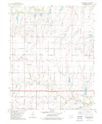
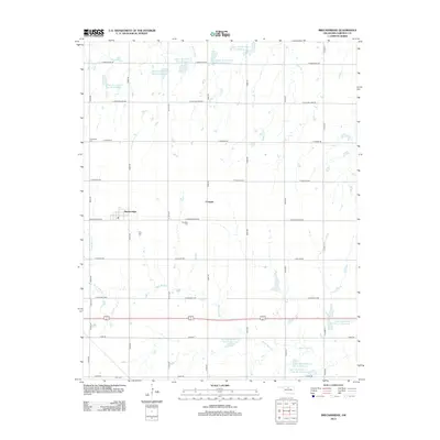
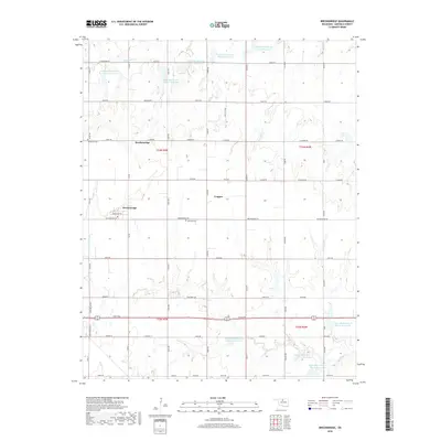
 2022 Breckinridge2022 Print · USGSGarfield County prairie life and agricultural water management are captured here in the early twenty-first century. Researchers can locate local burial sites like Paradise Cem and trace the paths of Red Rock Cr and Black Bear Cr.
 - 2022 Map of Enid East, 2022 Print
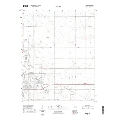
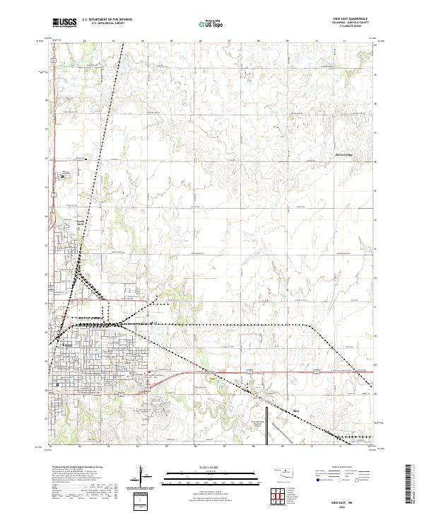 2022 Enid East2022 Print · USGSGarfield County's prairie landscape comes alive in this 2020s survey of the eastern expansion of Oklahoma's historic wheat capital. Researchers can trace local heritage through the Mennonite Brethren Cem, the campuses of Northern Oklahoma College - Enid, and the small community of Breckenridge.
End of results
Showing maps 1-17 of 17
Top cities near Breckenridge
- Enid historical maps
- Waukomis historical maps
- North Enid historical maps
- Pond Creek historical maps
- Garber historical maps
- Covington historical maps
See more
Top neighborhoods of Breckenridge
Frequently asked questions
- What are the different types of historical maps available for Breckenridge?
- What is the oldest map of Breckenridge?
- Where can I purchase historical maps of Breckenridge for my home or office?
- Where can I download high-res historical maps of Breckenridge?
- Are there historical topographic maps available for Breckenridge?
- Is there historical aerial imagery available for Breckenridge?
- Where are historical maps of Breckenridge sourced from?