Old Maps of Verden, Oklahoma
Explore 10 old maps of Verden, spanning from 1945 to today. These high-resolution historic maps reveal how streets, neighborhoods, landmarks, and natural features evolved over time — perfect for genealogy, metal detecting, research, and local history exploration.
What you can do with these maps:
- See how Verden changed over time: Compare historical maps to modern-day views to trace roads, homesites, rail lines & more.
- View detailed metadata: Each map includes creators, publishers, year, scale, and archive source.
- Overlay maps with satellite & LiDAR: Visualize the past alongside modern tools to explore terrain & human change.
- Trusted historical sources: Maps sourced from the USGS, Library of Congress, and other archives.
- Access maps your way: View online, download high-res files, or order prints for personal or research use.
Start exploring old maps of Verden to uncover forgotten places, hidden landmarks, and the deep history beneath your feet.
Verden, OK maps
(10)- 1945 Map of Anadarko
 1945 Anadarko1945 Print · USGSCaddo and Grady counties are documented during the mid-1940s as the rail-and-river economy flourished. Genealogists can locate numerous rural community landmarks like Liberty Cem, Riverside Indian School, and Oakdale Sch.2 unique versions available
 - 1955 Map of Clinton, 1964 Print
 1955 Clinton1964 Print · USGSWestern Oklahoma during the mid-century transition shows a landscape of growing reservoirs and active military flight lines. Genealogists and historians can locate rural landmarks such as Mountain View Church, Berlin School, and the Riverside Indian School Reserve.3 unique versions available
 - 1957 Map of Clinton
 1957 Clinton1957 Print · USGSWestern Oklahoma in the mid-fifties is captured here as a landscape of river-valley settlements and emerging energy fields. Genealogists can trace family roots through numerous rural landmarks like the Swapping Back Indian School, Hebron Church, and the Riverside Indian School Reserve.
 - 1968 Map of Verden, 1969 Print
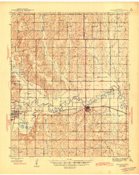
 1968 Verden1969 Print · USGSThe town of Verden and the winding Washita River define this Oklahoma landscape in the late sixties. Researchers can trace the path of the Chicago Rock Island and Pacific railroad or locate local landmarks like the Mennonite Ch and Elderberry Ch.
 - 1986 Map of Anadarko
 1986 Anadarko1986 Print · USGSThe Oklahoma plains around Anadarko are captured in the mid-1980s, showing the intersection of rail history and tribal heritage. Genealogists and historians can trace the Indian Treaty Boundary or locate old rail stops along the Burlington Northern Railroad and Atchison, Topeka and Santa Fe Railway.2 unique versions available
 - 2009 Map of Verden, 2009 Print
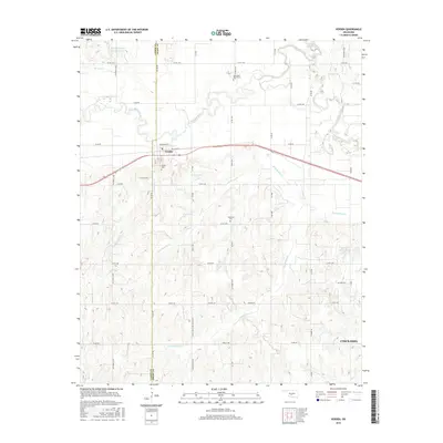
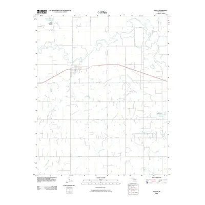 2009 Verden2009 Print · USGSCovers Verden, including Chickasha, Grady County, and other nearby areas
 - 2012 Map of Verden, 2012 Print
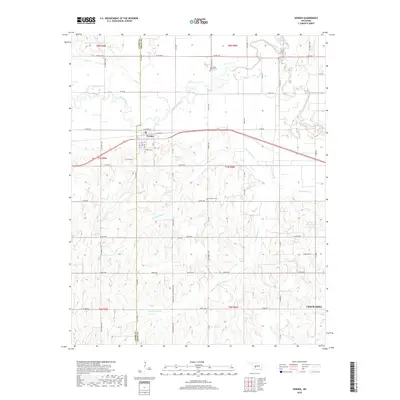
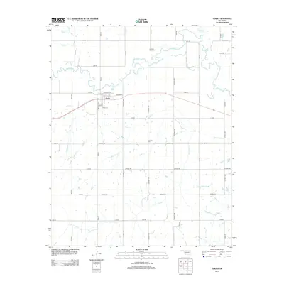 2012 Verden2012 Print · USGSCovers Verden, including Chickasha, Grady County, and other nearby areas
 - 2016 Map of Verden, 2016 Print
 2016 Verden2016 Print · USGSCovers Verden, including Chickasha, Grady County, and other nearby areas
 - 2018 Map of Verden, 2018 Print
 2018 Verden2018 Print · USGSCovers Verden, including Chickasha, Grady County, and other nearby areas
 - 2022 Map of Verden, 2022 Print
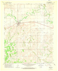
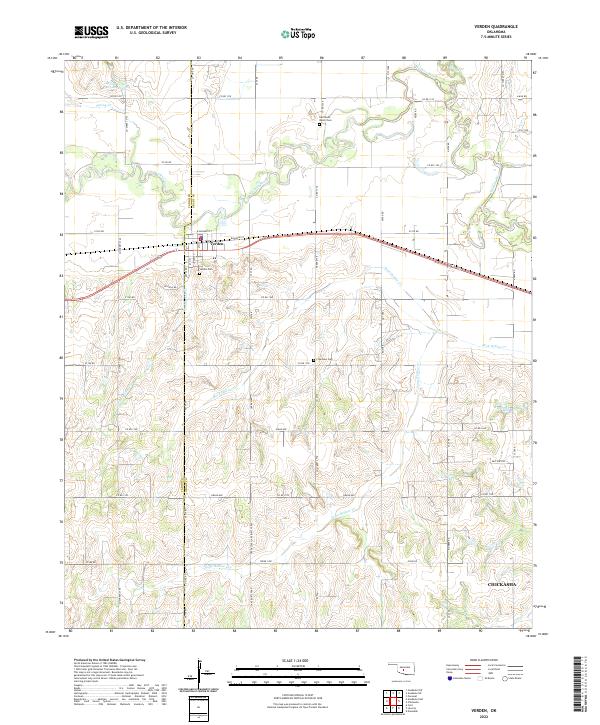 2022 Verden2022 Print · USGSThe Oklahoma prairie surrounding Verden is captured in this recent survey, showcasing the town's position along the Washita River and the rail line. Researchers can locate local landmarks like Half Moon Ranch Cem, Plainview Cem, and Spring Cr Site 103 Reservoir.
End of results
Showing maps 1-10 of 10
Top cities near Verden
- Chickasha historical maps
- Anadarko historical maps
- Minco historical maps
- Cyril historical maps
- Ninnekah historical maps
- Amber historical maps
See more
Frequently asked questions
- What are the different types of historical maps available for Verden?
- What is the oldest map of Verden?
- Where can I purchase historical maps of Verden for my home or office?
- Where can I download high-res historical maps of Verden?
- Are there historical topographic maps available for Verden?
- Is there historical aerial imagery available for Verden?
- Where are historical maps of Verden sourced from?