Old Maps of Medford, Oklahoma
Explore 15 old maps of Medford, spanning from 1955 to today. These high-resolution historic maps reveal how streets, neighborhoods, landmarks, and natural features evolved over time — perfect for genealogy, metal detecting, research, and local history exploration.
What you can do with these maps:
- See how Medford changed over time: Compare historical maps to modern-day views to trace roads, homesites, rail lines & more.
- View detailed metadata: Each map includes creators, publishers, year, scale, and archive source.
- Overlay maps with satellite & LiDAR: Visualize the past alongside modern tools to explore terrain & human change.
- Trusted historical sources: Maps sourced from the USGS, Library of Congress, and other archives.
- Access maps your way: View online, download high-res files, or order prints for personal or research use.
Start exploring old maps of Medford to uncover forgotten places, hidden landmarks, and the deep history beneath your feet.
Medford, OK maps
(15)- 1955 Map of Enid, 1966 Print
 1955 Enid1966 Print · USGSNorth-central Oklahoma's transition from open plains to the blackjack hills of the Osage Indian Reservation is captured in the mid-1950s. Researchers can trace the development of the Naval Reserve Oil Field, the grounds of Vance AFB, and the early footprints of Tulsa and Stillwater.4 unique versions available
 - 1958 Map of Enid
 1958 Enid1958 Print · USGSNorthern Oklahoma is mapped here in the late fifties, showcasing a dense network of petroleum production and historic tribal lands. Researchers can trace the legacy of the Osage Indian Reservation, early energy hubs like the Cushing Oil Field, and the Chilocco Indian Agricultural School.2 unique versions available
 - 1968 Map of Wakita SE, 1970 Print
 1968 Wakita SE1970 Print · USGSGrant County grain and rail networks were well established by the late sixties, centered on the small hub of Clyde. Genealogists can trace family history at Klondike Cem or Fairview Cem and follow the route of the Atchison Topeka and Santa Fe.
 - 1968 Map of Medford, 1970 Print
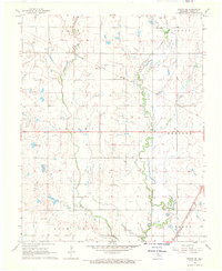
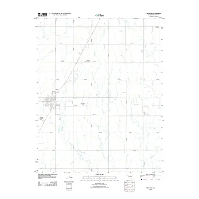
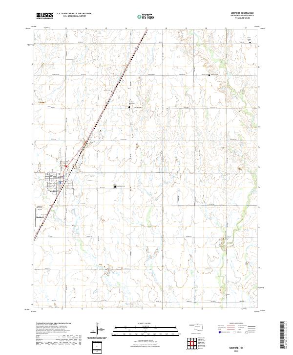
 1968 Medford1970 Print · USGSMedford and its surrounding townships are mapped here during the late sixties, showing a landscape shaped by two major railroads. Researchers can locate specific sites like the Czecho Slovak Cem, the Numa Field oil and gas district, and the Medford Municipal Airport.2 unique versions available
 - 1985 Map of Ponca City
 1985 Ponca City1985 Print · USGSNorth-central Oklahoma during the mid-eighties shows a landscape shaped by petroleum and heavy rail. Trace the paths of the Atchison Topeka and Santa Fe through Ponca City or find local landmarks like Northern Oklahoma Junior College and Old Bliss.3 unique versions available
 - 2009 Map of Medford, 2009 Print
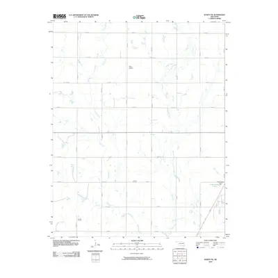
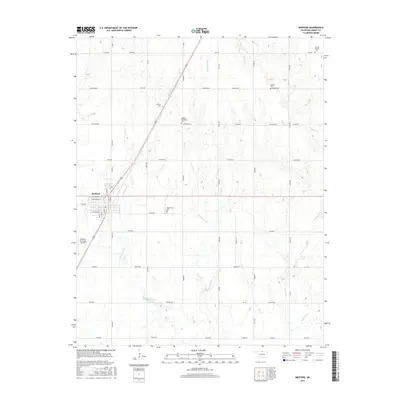
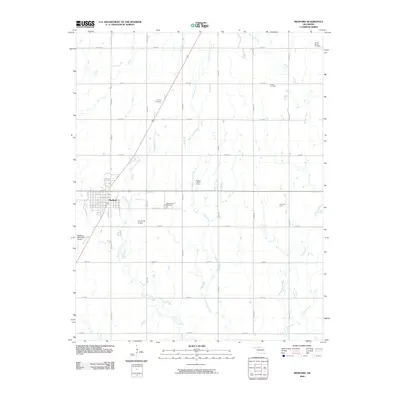 2009 Medford2009 Print · USGSCovers Medford, including Grant County, United States, and other nearby areas
 - 2009 Map of Wakita SE, 2009 Print
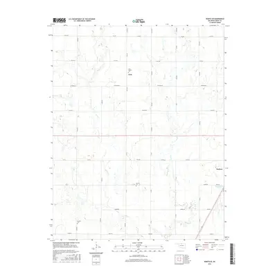
 2009 Wakita SE2009 Print · USGSCovers Medford, including Clyde, Grant County, and other nearby areas
 - 2012 Map of Wakita SE, 2012 Print
 2012 Wakita SE2012 Print · USGSCovers Medford, including Clyde, Grant County, and other nearby areas
 - 2012 Map of Medford, 2012 Print
 2012 Medford2012 Print · USGSCovers Medford, including Grant County, United States, and other nearby areas
 - 2016 Map of Wakita SE, 2016 Print
 2016 Wakita SE2016 Print · USGSCovers Medford, including Clyde, Grant County, and other nearby areas
 - 2016 Map of Medford, 2016 Print
 2016 Medford2016 Print · USGSCovers Medford, including Grant County, United States, and other nearby areas
 - 2018 Map of Medford, 2018 Print
 2018 Medford2018 Print · USGSCovers Medford, including Grant County, United States, and other nearby areas
 - 2018 Map of Wakita SE, 2018 Print
 2018 Wakita SE2018 Print · USGSCovers Medford, including Clyde, Grant County, and other nearby areas
 - 2022 Map of Medford, 2022 Print
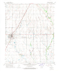
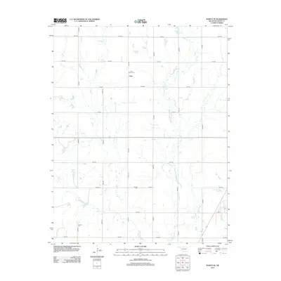
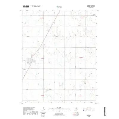
 2022 Medford2022 Print · USGSMedford serves as the Grant County seat in this modern survey of the North Central Oklahoma prairie. Genealogists and historians can trace several community-defining landmarks, including the Grant County Courthouse, Czecko Slovak Cem, and Rosemound Cem.
 - 2022 Map of Wakita SE, 2022 Print
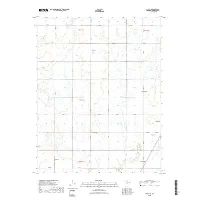
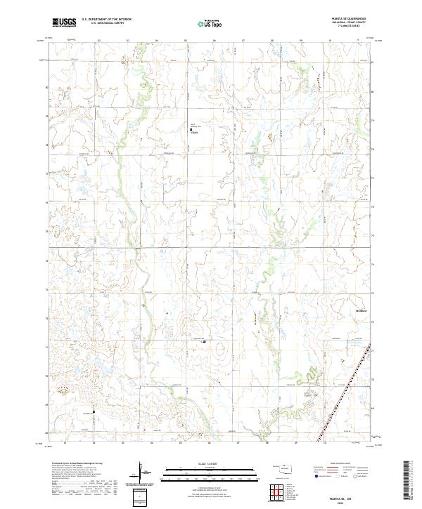 2022 Wakita SE2022 Print · USGSNorthern Oklahoma's rural landscape comes into focus in this recent survey of the country near the Kansas border. Genealogists can locate several family burial sites, including Saint Anthony Cem near Clyde and Klondike Cem further south.
End of results
Showing maps 1-15 of 15
Top cities near Medford
- Caldwell historical maps
- Pond Creek historical maps
- Lamont historical maps
- Wakita historical maps
- Deer Creek historical maps
- Jefferson historical maps
See more
Frequently asked questions
- What are the different types of historical maps available for Medford?
- What is the oldest map of Medford?
- Where can I purchase historical maps of Medford for my home or office?
- Where can I download high-res historical maps of Medford?
- Are there historical topographic maps available for Medford?
- Is there historical aerial imagery available for Medford?
- Where are historical maps of Medford sourced from?