Old Maps of Mangum, Oklahoma for Genealogy
Trace your family roots with 26 historic maps of Mangum. These high-res maps reveal old neighborhoods, homesites, landmarks, and streets — helping you uncover where your ancestors lived and how the area evolved over time.
- Explore historic neighborhoods: Identify where your relatives may have lived in the 1800s or 1900s.
- Compare maps over time: Trace the changes in streets, buildings, and landmarks for multi-generational research.
- Perfect for genealogy & ancestry research: Used by family historians and researchers to map out lineage and migration.
These maps are an incredible resource for exploring your personal connection to Mangum's past.
Mangum, OK maps
(26)- 1955 Map of Lawton, 1958 Print
 1955 Lawton1958 Print · USGSSouthwestern Oklahoma and North Texas are shown here in the mid-fifties, dominated by the Wichita Mountains and the vital Red River watershed. Genealogists and historians can trace the foundations of Lawton alongside rural landmarks like Rainy Mountain Church and Pleasant Hill School.5 unique versions available
 - 1971 Map of Mangum North, 1973 Print
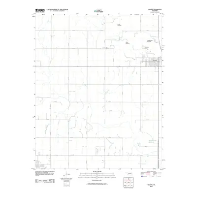
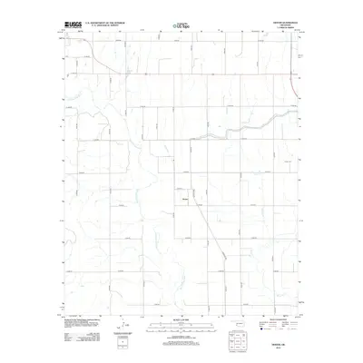
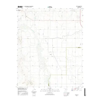
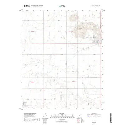
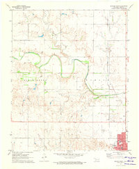 1971 Mangum North1973 Print · USGSGreer County in the early seventies centers on the northern expansion of Mangum and the nearby settlement of Bloomington. Researchers can trace local landmarks like the C R I & P rail corridor, Marie Cem, and the Drive-in Theater.
 - 1971 Map of Granite, 1973 Print
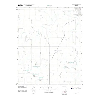
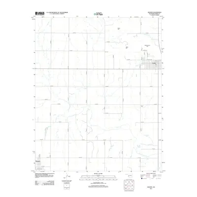
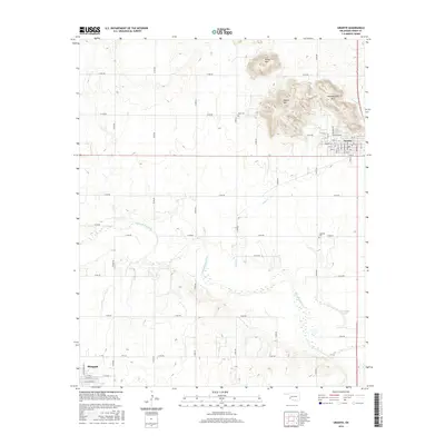
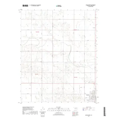
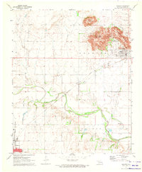 1971 Granite1973 Print · USGSGreer County at the start of the seventies features a landscape where the granite peaks of Walsh Mountain meet the Elm Fork Red River. Researchers can trace the massive State Reformatory complex, find Rock Cem, or follow the old Rock Island rail line.
 - 1971 Map of Mangum South, 1973 Print
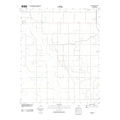
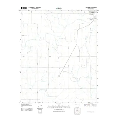
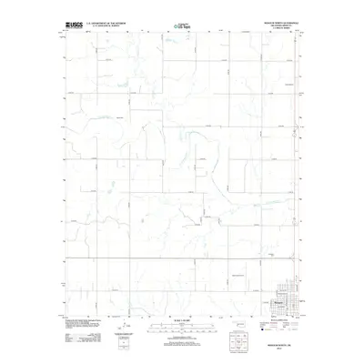
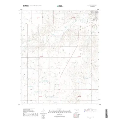
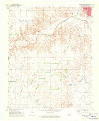 1971 Mangum South1973 Print · USGSGreer County settlement and the winding Salt Fork Red River are captured here in the early seventies. Researchers can trace the town grid of Mangum or locate rural landmarks like Ladessa Cem, the Gaging Station, and the local Quarry.
 - 1971 Map of Hester, 1973 Print
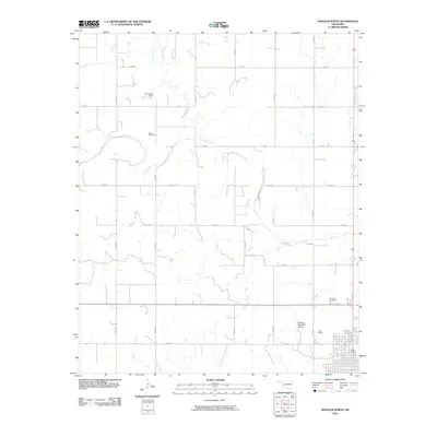
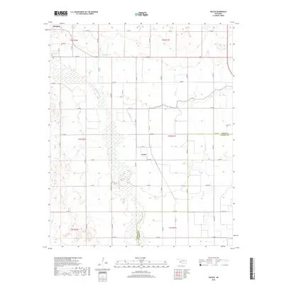
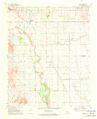 1971 Hester1973 Print · USGSGreer and Jackson Counties are captured in the early seventies, a period defined by the sprawling irrigation systems of the West Canal. Researchers can trace the Missouri - Kansas - Texas rail line and locate the Hester Cem near the town of Hester.
 - 1985 Map of Altus
 1985 Altus1985 Print · USGSSouthwestern Oklahoma in the mid-eighties shows a vast agricultural and military landscape shaped by the Red River forks. Trace the intersections of the Atchison Topeka and Santa Fe railroad with rural points like Fairmount Cem and Duke.2 unique versions available
 - 2010 Map of Hester, 2010 Print
 2010 Hester2010 Print · USGSCovers Mangum, including Hester, Jackson County, and other nearby areas
 - 2010 Map of Granite, 2010 Print
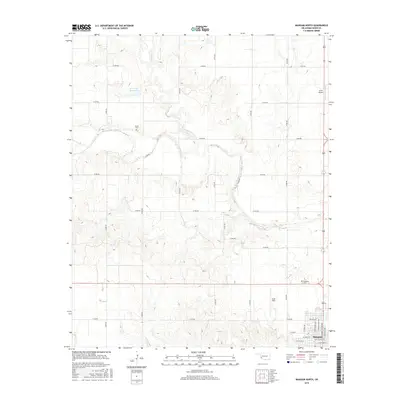
 2010 Granite2010 Print · USGSCovers Mangum, including Granite, Greer County, and other nearby areas
 - 2010 Map of Mangum North, 2010 Print
 2010 Mangum North2010 Print · USGSCovers Mangum, including Greer County, United States, and other nearby areas
 - 2010 Map of Mangum South, 2010 Print
 2010 Mangum South2010 Print · USGSCovers Mangum, including Greer County, United States, and other nearby areas
 - 2012 Map of Mangum South, 2012 Print
 2012 Mangum South2012 Print · USGSCovers Mangum, including Greer County, United States, and other nearby areas
 - 2012 Map of Hester, 2012 Print
 2012 Hester2012 Print · USGSCovers Mangum, including Hester, Jackson County, and other nearby areas
 - 2012 Map of Granite, 2012 Print
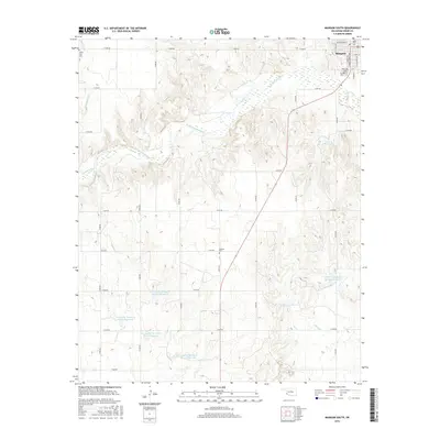
 2012 Granite2012 Print · USGSCovers Mangum, including Granite, Greer County, and other nearby areas
 - 2012 Map of Mangum North, 2012 Print
 2012 Mangum North2012 Print · USGSCovers Mangum, including Greer County, United States, and other nearby areas
 - 2016 Map of Hester, 2016 Print
 2016 Hester2016 Print · USGSCovers Mangum, including Hester, Jackson County, and other nearby areas
 - 2016 Map of Granite, 2016 Print
 2016 Granite2016 Print · USGSCovers Mangum, including Granite, Greer County, and other nearby areas
 - 2016 Map of Mangum North, 2016 Print
 2016 Mangum North2016 Print · USGSCovers Mangum, including Greer County, United States, and other nearby areas
 - 2016 Map of Mangum South, 2016 Print
 2016 Mangum South2016 Print · USGSCovers Mangum, including Greer County, United States, and other nearby areas
 - 2018 Map of Hester, 2018 Print
 2018 Hester2018 Print · USGSCovers Mangum, including Hester, Jackson County, and other nearby areas
 - 2018 Map of Mangum North, 2018 Print
 2018 Mangum North2018 Print · USGSCovers Mangum, including Greer County, United States, and other nearby areas
 - 2018 Map of Granite, 2018 Print
 2018 Granite2018 Print · USGSCovers Mangum, including Granite, Greer County, and other nearby areas
 - 2018 Map of Mangum South, 2018 Print
 2018 Mangum South2018 Print · USGSCovers Mangum, including Greer County, United States, and other nearby areas
 - 2022 Map of Hester, 2022 Print
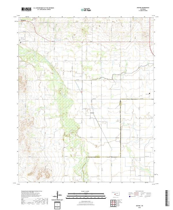 2022 Hester2022 Print · USGSGreer County farmland and the braided channels of the Red River come into focus in this recent survey. Local researchers can trace family landmarks like Hester Cem, the community of Hester, and the agricultural lifeline of the W Canal.
 - 2022 Map of Mangum North, 2022 Print
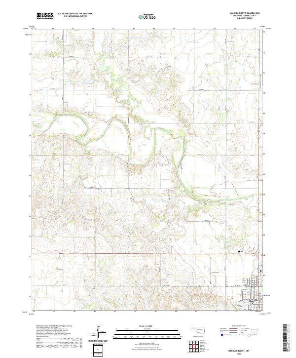 2022 Mangum North2022 Print · USGSGreer County, Oklahoma, comes into focus in the early 2020s, revealing the northern outskirts of a historic county seat and its surrounding prairie. Genealogists and local historians can locate family burial sites at Marie Cem and Roselawn Cem or trace the early street grid of Mangum.
 - 2022 Map of Mangum South, 2022 Print
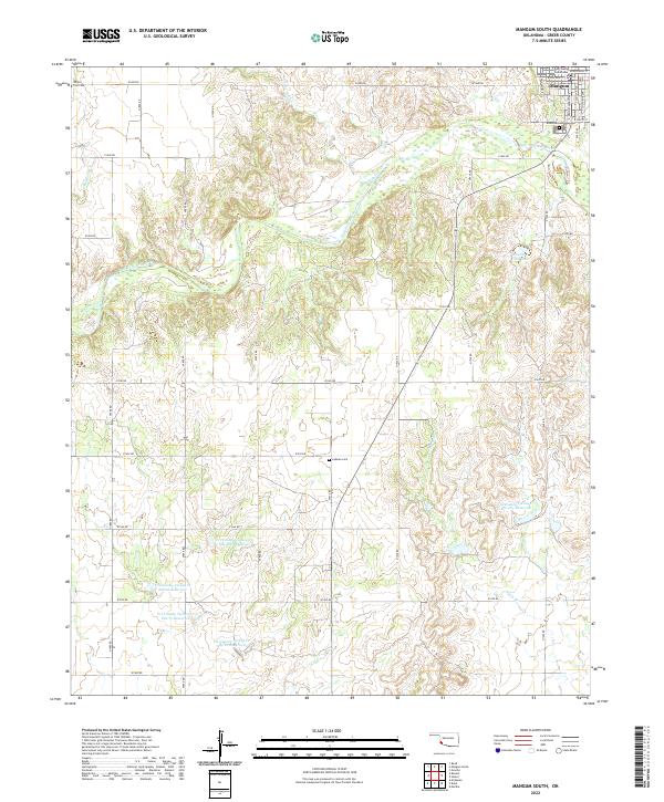 2022 Mangum South2022 Print · USGSGreer County at the southern edge of Mangum reveals a landscape shaped by the Salt Fork Red River and modern water management. Trace local roots at Riverside Cem and Ladessa Cem, or locate the Greer County Courthouse in the heart of the settlement.
Showing maps 1-25 of 26
Top cities near Mangum
- Altus historical maps
- Granite historical maps
- Blair historical maps
- East Duke historical maps
- Martha historical maps
- Willow historical maps
Frequently asked questions
- What are the different types of historical maps available for Mangum?
- What is the oldest map of Mangum?
- Where can I purchase historical maps of Mangum for my home or office?
- Where can I download high-res historical maps of Mangum?
- Are there historical topographic maps available for Mangum?
- Is there historical aerial imagery available for Mangum?
- Where are historical maps of Mangum sourced from?