Old Maps of Panther, Oklahoma for Hiking & Exploration
Hike through history with 14 historic maps of Panther. Explore old trails, ghost towns, and forgotten backroads — perfect for outdoor adventurers and local explorers.
- Rediscover forgotten places: Map out old mining camps, roads, and footpaths that no longer exist on modern maps.
- Layer with modern tools: Combine with LiDAR or satellite views to plan hikes through historical terrain.
- Made for exploration: Popular among hikers, overlanders, and local history lovers.
Use these maps to find adventure and explore the hidden past of Panther.
Panther, OK maps
(14)- 1900 Map of Sallisaw
 1900 Sallisaw1900 Print · USGSThe Cherokee and Choctaw Nations are divided by the winding Arkansas River at the turn of the century. Genealogists can trace early tribal-era settlements like Bokoshe, Tamaha, and Oak Lodge along the routes of the Kansas City Southern R. R.2 unique versions available
 - 1911 Map of Sallisaw
 1911 Sallisaw1911 Print · USGSEastern Oklahoma at the turn of the century was a land of expanding railroads and ancient river crossings along the Arkansas River. Genealogists and historians can trace the early settlement of the region through dozens of landmarks like Foreman Ferry, McCurtain, and the Badger Lee School.3 unique versions available
 - 1946 Map of Fort Smith
 1946 Fort Smith1946 Print · USGSThe Arkansas-Oklahoma borderlands appear here in the mid-forties, as new reservoirs began to transform the river valleys. Genealogists and historians can trace rail-served towns from Muskogee to Fort Smith and locate landmarks like Camp Chaffee.
 - 1965 Map of Fort Smith
 1965 Fort Smith1965 Print · USGSEastern Oklahoma and Western Arkansas are captured here during a period of massive post-war change as new reservoirs reshaped the river valleys. Genealogists and historians can trace the rail networks of the Midland Valley RR and find established communities like Stilwell, Sallisaw, and Stigler.
 - 1967 Map of Fort Smith
 1967 Fort Smith1967 Print · USGSThe Arkansas River valley and the foothills of the Ozarks are captured here during a period of significant military and industrial activity. Researchers can trace the sprawling bounds of Camp Chaffee and Camp Gruber or locate vanished rail stops along the Midland Valley RR.
 - 1968 Map of Mc Curtain, 1970 Print
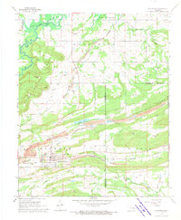 1968 Mc Curtain1970 Print · USGSHaskell County is shown during a period of significant change in the late 1960s as the Robert S Kerr Reservoir begins to alter the local landscape. Genealogists and historians can trace the foundations of McCurtain, locating the Garden of Memories Cem and the extensive network of Strip Mines that defined the era.2 unique versions available
 - 1977 Map of Mc Curtain
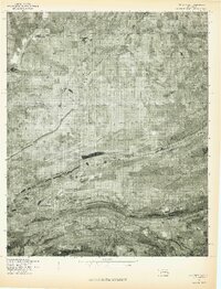 1977 Mc Curtain1977 Print · USGSHaskell County's ridged terrain and late-seventies settlement patterns are documented in this orthophotoquad. Researchers can trace the literal footprint of Mc Curtain or locate the shoreline where the Robert S. Kerr Reservoir meets Ironbridge.
 - 1978 Map of Fort Smith, 1979 Print
 1978 Fort Smith1979 Print · USGSThe Arkansas-Oklahoma borderlands in the late seventies show a landscape shaped by massive river reservoirs and sprawling military reservations. Trace the historic rail lines of the Missouri Pacific RR and locate regional landmarks like Fort Gibson, Tenkiller Ferry Lake, and Barling.2 unique versions available
 - 1978 Map of Fort Smith, 1979 Print
 1978 Fort Smith1979 Print · USGSThe Arkansas-Oklahoma borderlands in the late seventies show a region defined by river navigation, coal mining, and military expansion. You can trace industrial footprints like the Strip Mines and the vast Fort Chaffee Military Reservation.2 unique versions available
 - 2010 Map of McCurtain, 2010 Print
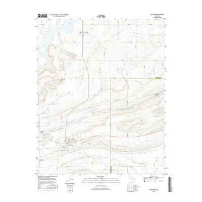
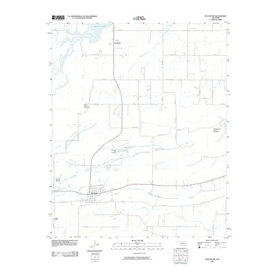 2010 McCurtain2010 Print · USGSCovers Panther, including McCurtain, Ironbridge, and other nearby areas
 - 2012 Map of McCurtain, 2012 Print
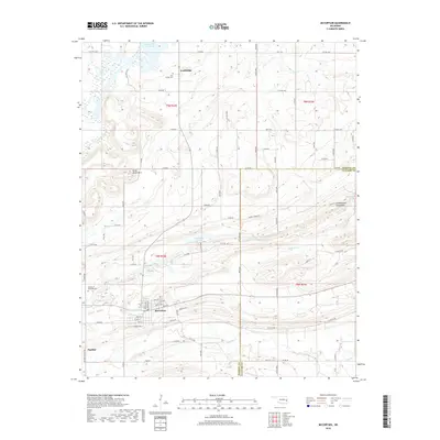
 2012 McCurtain2012 Print · USGSCovers Panther, including McCurtain, Ironbridge, and other nearby areas
 - 2016 Map of McCurtain, 2016 Print
 2016 McCurtain2016 Print · USGSCovers Panther, including McCurtain, Ironbridge, and other nearby areas
 - 2018 Map of McCurtain, 2018 Print
 2018 McCurtain2018 Print · USGSCovers Panther, including McCurtain, Ironbridge, and other nearby areas
 - 2022 Map of McCurtain, 2022 Print
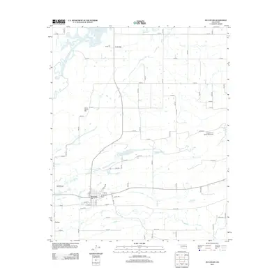
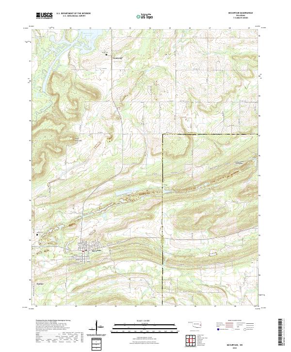 2022 McCurtain2022 Print · USGSThe borderlands of Haskell and Le Flore counties are documented here in the early 2020s, centered on the historic town of McCurtain. Genealogists and local historians can trace family locations near the Miners Cem, Ironbridge, and the rural settlement of Panther.
End of results
Showing maps 1-14 of 14
Top cities near Panther
- Stigler historical maps
- Red Oak historical maps
- Keota historical maps
- Bokoshe historical maps
- McCurtain historical maps
- Cowlington historical maps
Frequently asked questions
- What are the different types of historical maps available for Panther?
- What is the oldest map of Panther?
- Where can I purchase historical maps of Panther for my home or office?
- Where can I download high-res historical maps of Panther?
- Are there historical topographic maps available for Panther?
- Is there historical aerial imagery available for Panther?
- Where are historical maps of Panther sourced from?