Old Maps of Tonkawa, Oklahoma for Hiking & Exploration
Hike through history with 9 historic maps of Tonkawa. Explore old trails, ghost towns, and forgotten backroads — perfect for outdoor adventurers and local explorers.
- Rediscover forgotten places: Map out old mining camps, roads, and footpaths that no longer exist on modern maps.
- Layer with modern tools: Combine with LiDAR or satellite views to plan hikes through historical terrain.
- Made for exploration: Popular among hikers, overlanders, and local history lovers.
Use these maps to find adventure and explore the hidden past of Tonkawa.
Tonkawa, OK maps
(9)- 1955 Map of Enid, 1966 Print
 1955 Enid1966 Print · USGSNorth-central Oklahoma's transition from open plains to the blackjack hills of the Osage Indian Reservation is captured in the mid-1950s. Researchers can trace the development of the Naval Reserve Oil Field, the grounds of Vance AFB, and the early footprints of Tulsa and Stillwater.4 unique versions available
 - 1958 Map of Enid
 1958 Enid1958 Print · USGSNorthern Oklahoma is mapped here in the late fifties, showcasing a dense network of petroleum production and historic tribal lands. Researchers can trace the legacy of the Osage Indian Reservation, early energy hubs like the Cushing Oil Field, and the Chilocco Indian Agricultural School.2 unique versions available
 - 1968 Map of Tonkawa, 1970 Print
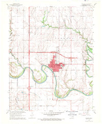 1968 Tonkawa1970 Print · USGSKay County near the confluence of the Arkansas and Chikaskia Rivers reflects an era of petroleum wealth and collegiate growth. Researchers can trace the legacy of the Tonkawa Oil Field and Hubbard Oil Field alongside the Northern Oklahoma Jr College campus and IOOF Cem.2 unique versions available
 - 1985 Map of Ponca City
 1985 Ponca City1985 Print · USGSNorth-central Oklahoma during the mid-eighties shows a landscape shaped by petroleum and heavy rail. Trace the paths of the Atchison Topeka and Santa Fe through Ponca City or find local landmarks like Northern Oklahoma Junior College and Old Bliss.3 unique versions available
 - 2009 Map of Tonkawa, 2009 Print
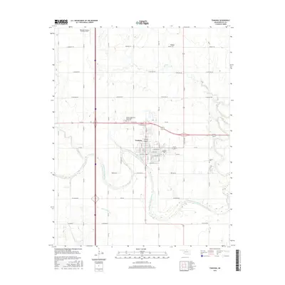
 2009 Tonkawa2009 Print · USGSCovers Tonkawa, including Tyner, Kay County, and other nearby areas
 - 2012 Map of Tonkawa, 2012 Print
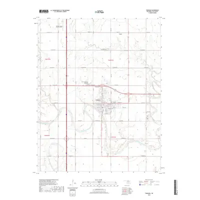
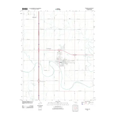 2012 Tonkawa2012 Print · USGSCovers Tonkawa, including Tyner, Kay County, and other nearby areas
 - 2016 Map of Tonkawa, 2016 Print
 2016 Tonkawa2016 Print · USGSCovers Tonkawa, including Tyner, Kay County, and other nearby areas
 - 2018 Map of Tonkawa, 2018 Print
 2018 Tonkawa2018 Print · USGSCovers Tonkawa, including Tyner, Kay County, and other nearby areas
 - 2022 Map of Tonkawa, 2022 Print
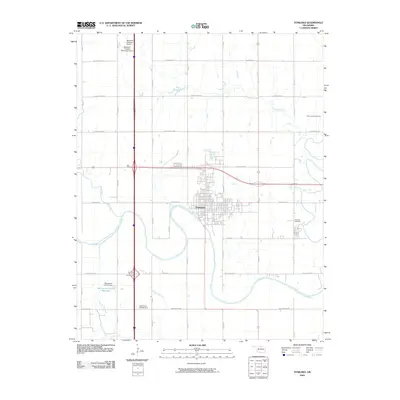
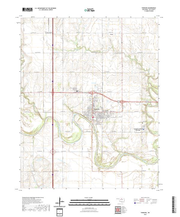 2022 Tonkawa2022 Print · USGSTonkawa and the surrounding Kay County prairies are captured in this modern survey. Researchers can locate the Northern Oklahoma College campus, the Tonkawa Tribal Housing district, and local landmarks like the Blackwell-Tonkawa Municipal Airport.
End of results
Showing maps 1-9 of 9
Top cities near Tonkawa
- Ponca City historical maps
- Blackwell historical maps
- Billings historical maps
- Red Rock historical maps
- Marland historical maps
- Deer Creek historical maps
Frequently asked questions
- What are the different types of historical maps available for Tonkawa?
- What is the oldest map of Tonkawa?
- Where can I purchase historical maps of Tonkawa for my home or office?
- Where can I download high-res historical maps of Tonkawa?
- Are there historical topographic maps available for Tonkawa?
- Is there historical aerial imagery available for Tonkawa?
- Where are historical maps of Tonkawa sourced from?