Old Maps of Mountain View, Oklahoma for Genealogy
Trace your family roots with 17 historic maps of Mountain View. These high-res maps reveal old neighborhoods, homesites, landmarks, and streets — helping you uncover where your ancestors lived and how the area evolved over time.
- Explore historic neighborhoods: Identify where your relatives may have lived in the 1800s or 1900s.
- Compare maps over time: Trace the changes in streets, buildings, and landmarks for multi-generational research.
- Perfect for genealogy & ancestry research: Used by family historians and researchers to map out lineage and migration.
These maps are an incredible resource for exploring your personal connection to Mountain View's past.
Mountain View, OK maps
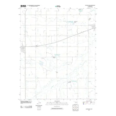
(17)- 1955 Map of Clinton, 1964 Print
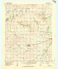
 1955 Clinton1964 Print · USGSWestern Oklahoma during the mid-century transition shows a landscape of growing reservoirs and active military flight lines. Genealogists and historians can locate rural landmarks such as Mountain View Church, Berlin School, and the Riverside Indian School Reserve.3 unique versions available
 - 1957 Map of Clinton
 1957 Clinton1957 Print · USGSWestern Oklahoma in the mid-fifties is captured here as a landscape of river-valley settlements and emerging energy fields. Genealogists can trace family roots through numerous rural landmarks like the Swapping Back Indian School, Hebron Church, and the Riverside Indian School Reserve.
 - 1961 Map of Gotebo, 1962 Print
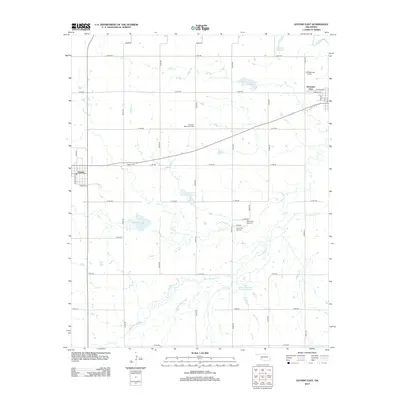
 1961 Gotebo1962 Print · USGSKiowa and Washita County homesteads are mapped here in the early sixties, anchored by the rail corridor of the Chicago Rock Island and Pacific. Researchers can locate several rural landmarks including the Rainy Mountain Indian Mission Cemetery, Lone Wolf Chapel, and the Old Indian Boundary.2 unique versions available
 - 1961 Map of Carnegie, 1963 Print
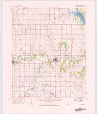 1961 Carnegie1963 Print · USGSThe Washita River valley in the early sixties serves as the focal point for this survey of Carnegie and Mountain View. Genealogists can trace family names at Indian Mission, Cedar Creek Cem, or the Old Indian Treaty Boundary.
 - 1984 Map of Gotebo East, 1985 Print
 1984 Gotebo East1985 Print · USGSKiowa and Washita counties are shown here in the mid-1980s, where the landscape is still defined by early territorial markers. Researchers can trace the Old Indian Treaty Boundary and locate historic sites like the Rainy Mountain Indian Mission and Mountain View Cem.
 - 1984 Map of Stinking Creek, 1985 Print
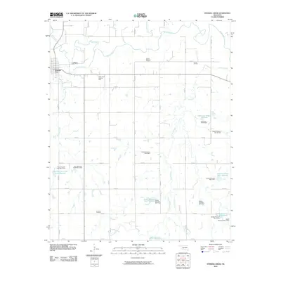
 1984 Stinking Creek1985 Print · USGSOklahoma's Washita River valley comes into focus during the 1980s, revealing a landscape defined by treaty lines and river bends. Genealogists and historians can trace the Old Indian Treaty Boundary and locate local landmarks like Antique Mem Cem and Little Red Ch.
 - 1986 Map of Anadarko
 1986 Anadarko1986 Print · USGSThe Oklahoma plains around Anadarko are captured in the mid-1980s, showing the intersection of rail history and tribal heritage. Genealogists and historians can trace the Indian Treaty Boundary or locate old rail stops along the Burlington Northern Railroad and Atchison, Topeka and Santa Fe Railway.2 unique versions available
 - 2010 Map of Gotebo East, 2010 Print
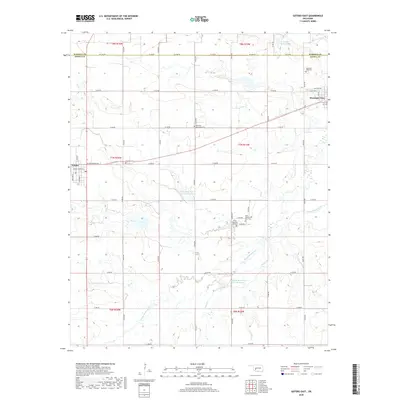
 2010 Gotebo East2010 Print · USGSCovers Mountain View, including Gotebo, Kiowa County, and other nearby areas
 - 2010 Map of Stinking Creek, 2010 Print
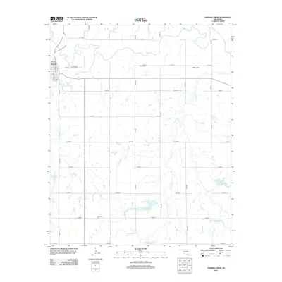
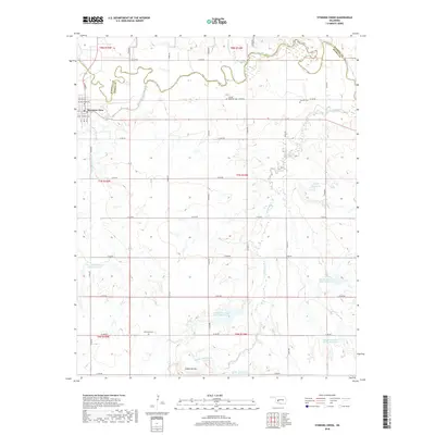
 2010 Stinking Creek2010 Print · USGSCovers Mountain View, including Kiowa County, Washita County, and other nearby areas
 - 2012 Map of Stinking Creek, 2012 Print
 2012 Stinking Creek2012 Print · USGSCovers Mountain View, including Kiowa County, Washita County, and other nearby areas
 - 2013 Map of Gotebo East, 2013 Print
 2013 Gotebo East2013 Print · USGSCovers Mountain View, including Gotebo, Kiowa County, and other nearby areas
 - 2016 Map of Stinking Creek, 2016 Print
 2016 Stinking Creek2016 Print · USGSCovers Mountain View, including Kiowa County, Washita County, and other nearby areas
 - 2016 Map of Gotebo East, 2016 Print
 2016 Gotebo East2016 Print · USGSCovers Mountain View, including Gotebo, Kiowa County, and other nearby areas
 - 2018 Map of Gotebo East, 2018 Print
 2018 Gotebo East2018 Print · USGSCovers Mountain View, including Gotebo, Kiowa County, and other nearby areas
 - 2018 Map of Stinking Creek, 2018 Print
 2018 Stinking Creek2018 Print · USGSCovers Mountain View, including Kiowa County, Washita County, and other nearby areas
 - 2022 Map of Stinking Creek, 2022 Print
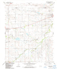
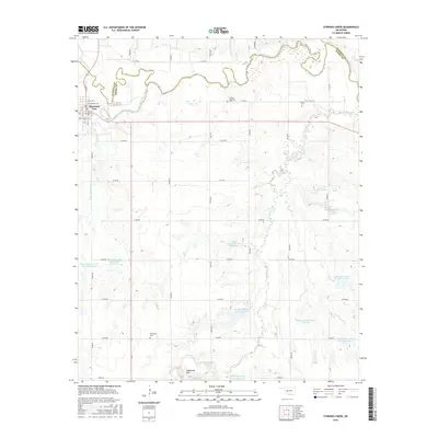
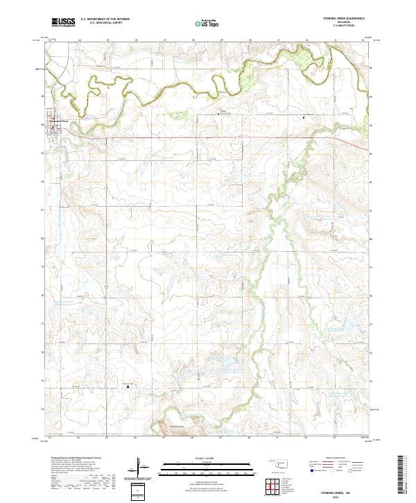 2022 Stinking Creek2022 Print · USGSThe Oklahoma plains around Mountain View are shown in detail here, where the Washita River meets a network of managed water basins. Genealogists and local historians can locate the Anquoe Memorial Cemetery, Samone Cemetery, and Zodletone Mountain.
 - 2022 Map of Gotebo East, 2022 Print
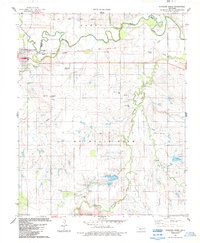
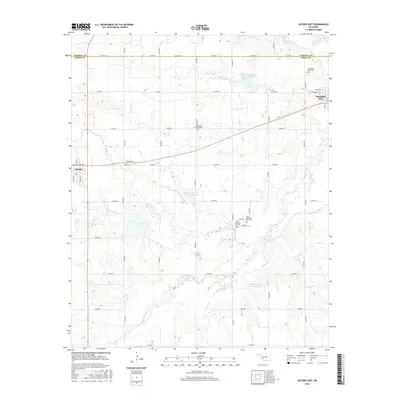
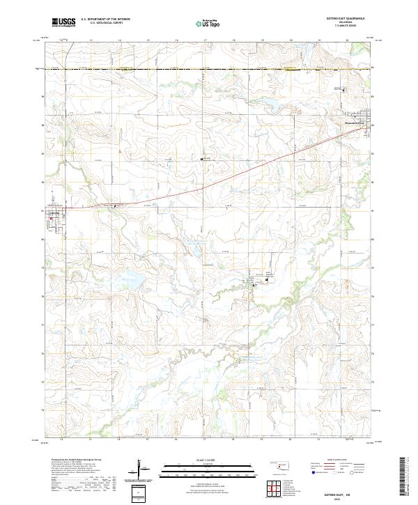 2022 Gotebo East2022 Print · USGSKiowa and Washita counties are shown here in the early twenty-first century, centered on the rural settlements along State Highway 9. Researchers can locate numerous pioneer and community burial grounds, including Rainy Mountain Old Cem, Ebenezer Mennonite Cem, and Mountain View Cem.
End of results
Showing maps 1-17 of 17
Top cities near Mountain View
Frequently asked questions
- What are the different types of historical maps available for Mountain View?
- What is the oldest map of Mountain View?
- Where can I purchase historical maps of Mountain View for my home or office?
- Where can I download high-res historical maps of Mountain View?
- Are there historical topographic maps available for Mountain View?
- Is there historical aerial imagery available for Mountain View?
- Where are historical maps of Mountain View sourced from?