Old Maps of Roosevelt, Oklahoma for Metal Detecting
Plan your next treasure hunt with 8 historic maps of Roosevelt. Find old homesites, ghost towns, trails, and gathering spots that may be lost to time — perfect for identifying promising metal detecting locations.
- Locate forgotten sites: Uncover places like long-lost settlements, abandoned rail lines, or gathering spots.
- Plan better hunts: Use map overlays combined with LiDAR or satellite views to narrow in on historically rich areas.
- Made for detectorists: Thousands of hobbyists use these maps to discover relics, coins, and hidden history.
Use these historic maps to boost your research and find new opportunities beneath the surface of Roosevelt.
Roosevelt, OK maps
(8)- 1955 Map of Lawton, 1958 Print
 1955 Lawton1958 Print · USGSSouthwestern Oklahoma and North Texas are shown here in the mid-fifties, dominated by the Wichita Mountains and the vital Red River watershed. Genealogists and historians can trace the foundations of Lawton alongside rural landmarks like Rainy Mountain Church and Pleasant Hill School.5 unique versions available
 - 1964 Map of Roosevelt, 1965 Print
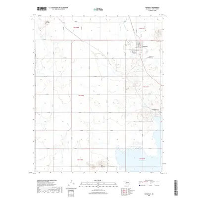
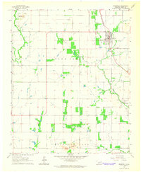 1964 Roosevelt1965 Print · USGSOklahoma's Kiowa County prairie is documented here in the mid-1960s as a landscape of rail-centered towns and isolated granite rises. Genealogists can locate family sites near the Roosevelt Cem or trace the old St Louis - San Francisco line through Roosevelt and Cold Springs.
 - 1985 Map of Altus
 1985 Altus1985 Print · USGSSouthwestern Oklahoma in the mid-eighties shows a vast agricultural and military landscape shaped by the Red River forks. Trace the intersections of the Atchison Topeka and Santa Fe railroad with rural points like Fairmount Cem and Duke.2 unique versions available
 - 2010 Map of Roosevelt, 2010 Print
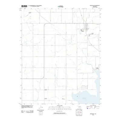 2010 Roosevelt2010 Print · USGSCovers Roosevelt, including Cold Springs, Kiowa County, and other nearby areas
 - 2012 Map of Roosevelt, 2012 Print
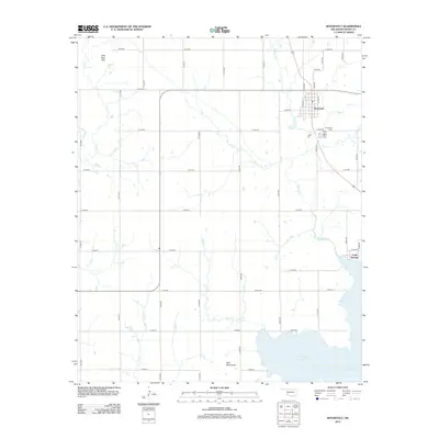 2012 Roosevelt2012 Print · USGSCovers Roosevelt, including Cold Springs, Kiowa County, and other nearby areas
 - 2016 Map of Roosevelt, 2016 Print
 2016 Roosevelt2016 Print · USGSCovers Roosevelt, including Cold Springs, Kiowa County, and other nearby areas
 - 2018 Map of Roosevelt, 2018 Print
 2018 Roosevelt2018 Print · USGSCovers Roosevelt, including Cold Springs, Kiowa County, and other nearby areas
 - 2022 Map of Roosevelt, 2022 Print
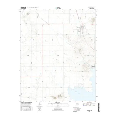
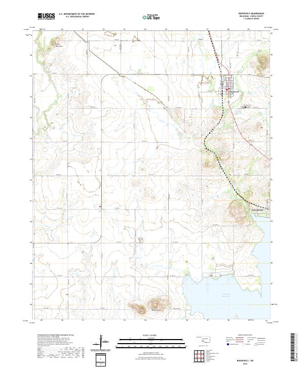 2022 Roosevelt2022 Print · USGSRoosevelt and the surrounding plains of Kiowa County are documented here in the early twenty-first century. Genealogists can trace the residential grid of Roosevelt near Roosevelt Cem or locate the shoreline settlement of Cold Springs by Tom Steed Reservoir.
End of results
Showing maps 1-8 of 8
Top cities near Roosevelt
- Hobart historical maps
- Snyder historical maps
- Lone Wolf historical maps
- Mountain Park historical maps
- Gotebo historical maps
- Headrick historical maps
See more
Frequently asked questions
- What are the different types of historical maps available for Roosevelt?
- What is the oldest map of Roosevelt?
- Where can I purchase historical maps of Roosevelt for my home or office?
- Where can I download high-res historical maps of Roosevelt?
- Are there historical topographic maps available for Roosevelt?
- Is there historical aerial imagery available for Roosevelt?
- Where are historical maps of Roosevelt sourced from?