Old Maps of Loving, Oklahoma for Metal Detecting
Plan your next treasure hunt with 15 historic maps of Loving. Find old homesites, ghost towns, trails, and gathering spots that may be lost to time — perfect for identifying promising metal detecting locations.
- Locate forgotten sites: Uncover places like long-lost settlements, abandoned rail lines, or gathering spots.
- Plan better hunts: Use map overlays combined with LiDAR or satellite views to narrow in on historically rich areas.
- Made for detectorists: Thousands of hobbyists use these maps to discover relics, coins, and hidden history.
Use these historic maps to boost your research and find new opportunities beneath the surface of Loving.
Loving, OK maps
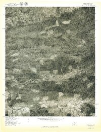
(15)- 1887 Map of Poteau Mountain #2
 1887 Poteau Mountain #21887 Print · USGSWestern Arkansas in the late nineteenth century was a land of high ridges and isolated river valleys. You can trace the early footprints of Scott County through settlements like Cauthron and Gipson or follow the waters of the Poteau River.
 - 1890 Map of Poteau Mountain
 1890 Poteau Mountain1890 Print · USGSWestern Arkansas and the Indian Territory border are mapped in the late 1880s as the frontier gives way to established settlements. Genealogists can trace early homesteads and post offices like Waldron, Dallas, and Cherry Hill, or locate the historic Toll Gate and Talihina Trail.2 unique versions available
 - 1899 Map of Poteau Mountain
 1899 Poteau Mountain1899 Print · USGSThe Arkansas borderlands and the Choctaw Nation frontier are captured here just before the turn of the century. Local historians can trace old homesteads and post offices near Waldron, Dallas, and the remote Cherry Hill (Egger P.O.) along the upper Ouachita.6 unique versions available
 - 1950 Map of Mcalester
 1950 Mcalester1950 Print · USGSThe Ouachita Mountains and the coal country of Southeast Oklahoma are shown here in the late 1940s. Genealogists and historians can trace the rail-driven growth of McAlester, Wilburton, and Antlers alongside the rugged terrain of Kiamichi Mountain.2 unique versions available
 - 1958 Map of Loving, 1959 Print
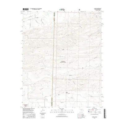
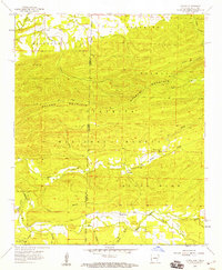 1958 Loving1959 Print · USGSThe Arkansas-Oklahoma borderlands come into focus in the late 1950s as the Ouachita National Forest meets the winding Poteau River. Researchers can trace old family sites and rural landmarks like the Loving Cem, Black Fork Cem, and the Haws Creek Ch.3 unique versions available
 - 1958 Map of Bates, 1959 Print
 1958 Bates1959 Print · USGSThe Arkansas-Oklahoma borderlands in the late fifties reveal a landscape of ridge-top forests and valley industry. Researchers can trace rural lineages through local landmarks like Hiawatha School, Cauthron, and several family burial grounds including Sligar Cem and Loving Cem.
 - 1962 Map of McAlester
 1962 McAlester1962 Print · USGSSoutheastern Oklahoma and western Arkansas are shown here during the early sixties, a time of transition for the region's mountain communities and timberlands. Researchers can trace the paths of the Kansas City Southern RR through Heavener or locate settlements like Talihina and Broken Bow near the Kiamichi Mountains.2 unique versions available
 - 1965 Map of McAlester
 1965 McAlester1965 Print · USGSSoutheastern Oklahoma and western Arkansas appear here in the mid-1960s, showing the intersection of the timber industry and the growing reservoir system. Genealogists can trace family roots through settlements like Antlers, Idabel, and Kiowa or follow the historic routes of the Kansas City Southern Ry.3 unique versions available
 - 1977 Map of Loving
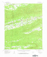
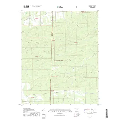
 1977 Loving1977 Print · USGSThe Oklahoma-Arkansas borderlands are captured in this late-seventies aerial survey, showing the rural community of Loving. Researchers can trace the wooded ridges of Walker Mountain and the winding paths of the Poteau River and Black Fork.
 - 1989 Map of Mena, 1991 Print
 1989 Mena1991 Print · USGSThe Ouachita and Kiamichi mountains define this borderland region in the late 1980s. Local historians can trace the Kansas City Southern RR corridor from Mena through settlements like Heavener and past the waters of Wister Lake.
 - 2011 Map of Loving, 2011 Print
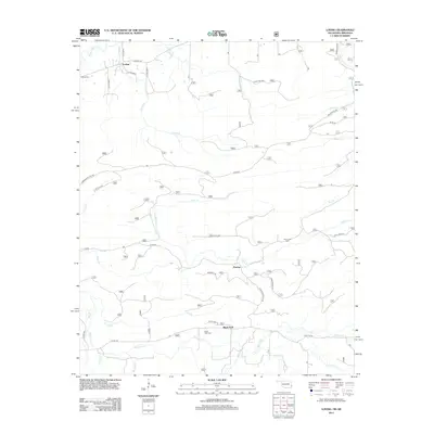
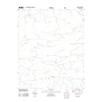 2011 Loving2011 Print · USGSCovers Loving, including Puryear, Black Fork, and other nearby areas
 - 2013 Map of Loving, 2013 Print
 2013 Loving2013 Print · USGSCovers Loving, including Puryear, Black Fork, and other nearby areas
 - 2016 Map of Loving, 2016 Print
 2016 Loving2016 Print · USGSCovers Loving, including Puryear, Black Fork, and other nearby areas
 - 2019 Map of Loving, 2019 Print
 2019 Loving2019 Print · USGSCovers Loving, including Puryear, Black Fork, and other nearby areas
 - 2022 Map of Loving, 2022 Print
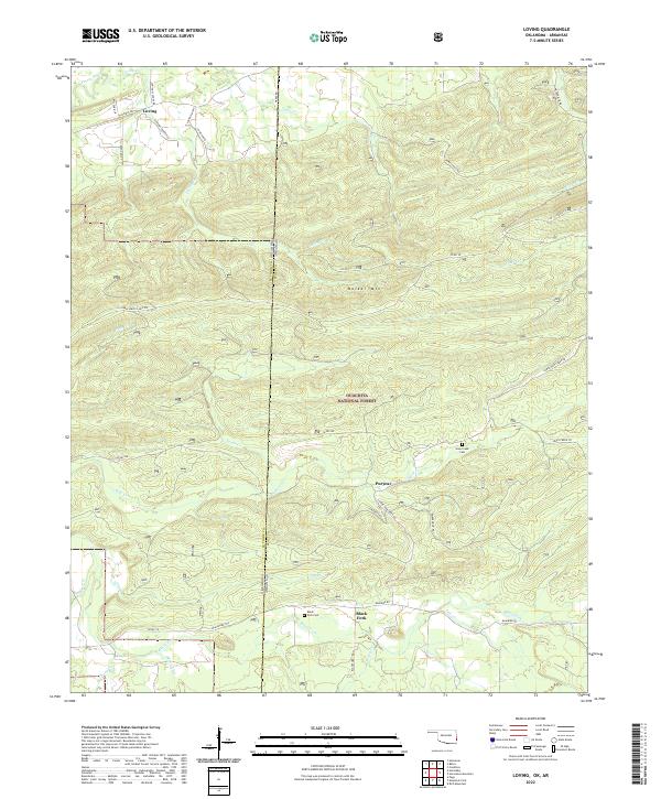 2022 Loving2022 Print · USGSThe Oklahoma and Arkansas state line in Le Flore County was a region of high ridges and forest settlements in the early twenty-first century. Researchers can trace family history through sites like Haw Creek Cem, the community of Loving, and the Blackfork Trl near Puryear.
End of results
Showing maps 1-15 of 15
Top cities near Loving
- Poteau historical maps
- Heavener historical maps
- Mansfield historical maps
- Wister historical maps
- Hartford historical maps
- Howe historical maps
See more
Frequently asked questions
- What are the different types of historical maps available for Loving?
- What is the oldest map of Loving?
- Where can I purchase historical maps of Loving for my home or office?
- Where can I download high-res historical maps of Loving?
- Are there historical topographic maps available for Loving?
- Is there historical aerial imagery available for Loving?
- Where are historical maps of Loving sourced from?