Old Maps of Morrison, Oklahoma for Academic Research
Study the evolution of Morrison with 9 high-resolution historic maps. Whether you're teaching, researching, or modeling changes in land use, these maps provide essential visual documentation of urban, environmental, and geographic change.
- Analyze long-term change: Track patterns in development, transportation, and natural features.
- Ideal for environmental or urban studies: Support academic projects with primary historical map data.
- Use in the classroom or lab: Educators and researchers rely on these maps to bring historical context to life.
These maps are a powerful tool for teaching, research, and visualizing how Morrison has changed over the decades.
Morrison, OK maps
(9)- 1955 Map of Enid, 1966 Print
 1955 Enid1966 Print · USGSNorth-central Oklahoma's transition from open plains to the blackjack hills of the Osage Indian Reservation is captured in the mid-1950s. Researchers can trace the development of the Naval Reserve Oil Field, the grounds of Vance AFB, and the early footprints of Tulsa and Stillwater.4 unique versions available
 - 1958 Map of Enid
 1958 Enid1958 Print · USGSNorthern Oklahoma is mapped here in the late fifties, showcasing a dense network of petroleum production and historic tribal lands. Researchers can trace the legacy of the Osage Indian Reservation, early energy hubs like the Cushing Oil Field, and the Chilocco Indian Agricultural School.2 unique versions available
 - 1972 Map of Morrison, 1974 Print
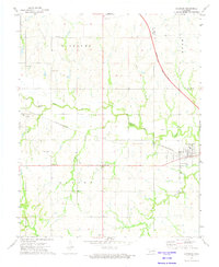 1972 Morrison1974 Print · USGSNoble County in the early seventies shows a landscape in transition as the St Louis - San Francisco railroad operates alongside a Turnpike Under Construction. Genealogists and local historians can locate Pleasant Valley Cem and trace family ties near Petes Corner or the town of Sumner.3 unique versions available
 - 1990 Map of Enid
 1990 Enid1990 Print · USGSNorth-central Oklahoma's aviation and energy hubs are captured in the 1990s, from the streets of Stillwater to the runways of Vance Air Force Base. Researchers can locate active Oil and Gas Fields and trace local waterways like Skeleton Creek and Black Bear Creek.
 - 2009 Map of Morrison, 2009 Print
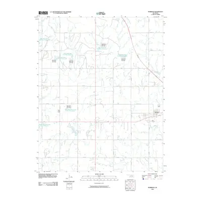 2009 Morrison2009 Print · USGSCovers Morrison, including Petes Corner, Sumner, and other nearby areas
 - 2012 Map of Morrison, 2012 Print
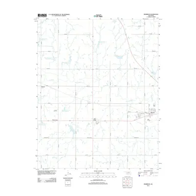 2012 Morrison2012 Print · USGSCovers Morrison, including Petes Corner, Sumner, and other nearby areas
 - 2016 Map of Morrison, 2016 Print
 2016 Morrison2016 Print · USGSCovers Morrison, including Petes Corner, Sumner, and other nearby areas
 - 2018 Map of Morrison, 2018 Print
 2018 Morrison2018 Print · USGSCovers Morrison, including Petes Corner, Sumner, and other nearby areas
 - 2022 Map of Morrison, 2022 Print
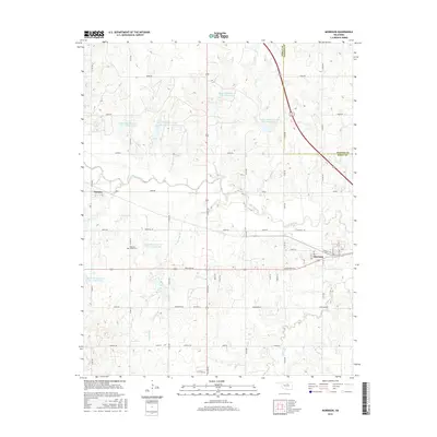
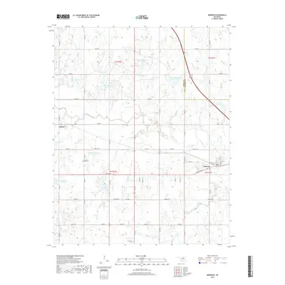
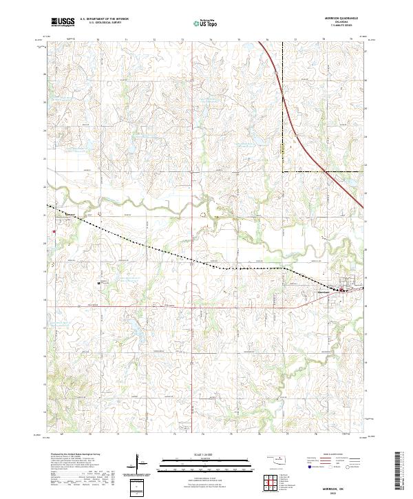 2022 Morrison2022 Print · USGSMorrison and Sumner appear as quiet agricultural hubs in this modern survey of Noble County. Genealogists and local historians can trace the grid of rural roads to sites like the Pleasant Valley Cem, Knob Hill, and Black Bear Cr.
End of results
Showing maps 1-9 of 9
Top cities near Morrison
Frequently asked questions
- What are the different types of historical maps available for Morrison?
- What is the oldest map of Morrison?
- Where can I purchase historical maps of Morrison for my home or office?
- Where can I download high-res historical maps of Morrison?
- Are there historical topographic maps available for Morrison?
- Is there historical aerial imagery available for Morrison?
- Where are historical maps of Morrison sourced from?