Old Maps of Imboden and Middleton, Oklahoma City
Explore 28 old maps of Imboden and Middleton, spanning from 1892 to today. These high-resolution historic maps reveal how streets, neighborhoods, landmarks, and natural features evolved over time — perfect for genealogy, metal detecting, research, and local history exploration.
What you can do with these maps:
- See how Imboden and Middleton changed over time: Compare historical maps to modern-day views to trace roads, homesites, rail lines & more.
- View detailed metadata: Each map includes creators, publishers, year, scale, and archive source.
- Overlay maps with satellite & LiDAR: Visualize the past alongside modern tools to explore terrain & human change.
- Trusted historical sources: Maps sourced from the USGS, Library of Congress, and other archives.
- Access maps your way: View online, download high-res files, or order prints for personal or research use.
Start exploring old maps of Imboden and Middleton to uncover forgotten places, hidden landmarks, and the deep history beneath your feet.
Imboden and Middleton, Oklahoma City maps
(28)- 1892 Map of Moore
 1892 Moore1892 Print · USGSOklahoma Territory was still in its infancy when this survey was conducted, showing the vital rail line connecting early settlements. Genealogists and historians can trace the foundations of Moore and find long-forgotten locations like Chaddick and Berry along the Atchison Topeka and Santa Fe Rail Road.
 - 1893 Map of Oklahoma City
 1893 Oklahoma City1893 Print · USGSOklahoma City and the surrounding territory are captured here in the 1890s, just as the rail lines began transforming the landscape. You can trace early township developments and find the historic border between the Oklahoma territory and the Chickasaw Nation near Walden and Clancy.
 - 1898 Map of Purcell
 1898 Purcell1898 Print · USGSOklahoma and Indian Territory are captured at the end of the century during a period of rapid regional expansion. Genealogists and historians can trace the early rail alignment of the G C and S F R R as it passes through Purcell near Walnut Creek.
 - 1904 Map of Chickasha
 1904 Chickasha1904 Print · USGSIndian Territory and Oklahoma Territory meet in this detailed 1904 survey, showing the region just years before statehood. Genealogists can trace the early rail stops at Minco and Tuttle or locate family homesteads near Womack and Dibble.4 unique versions available
 - 1934 Map of Crutcho Creek
 1934 Crutcho Creek1934 Print · USGSOklahoma City and its eastern fringes are captured in the mid-1930s as industrial sites and schools began to dot the landscape. Genealogists can locate family names and sites like Sunny Lane Cemetery, Foster High Sch, and the Oklahoma County Farm.
 - 1934 Map of Moore, 1959 Print
 1934 Moore1959 Print · USGSOklahoma City and its surrounding rural townships are shown in the mid-thirties just as the region’s oil and rail economy was maturing. Genealogists can locate family landmarks like Sunnylane Cemetery or rural community hubs such as Nicoma Park and Hollywood Corners.
 - 1938 Map of Moore
 1938 Moore1938 Print · USGSOklahoma City and its southern neighbors were at a rail and oil crossroads in the 1930s. Genealogists can trace early rural life through a dense network of country schools like Foster High Sch and family-named sites such as Burk Burnett Cem.2 unique versions available
 - 1954 Map of Oklahoma City
 1954 Oklahoma City1954 Print · USGSOklahoma City and its surrounding counties are captured here in the early fifties during a period of significant postwar growth. Researchers can trace the development of the Turner Turnpike and locate aviation hubs like Tinker Field or Will Rogers Field.
 - 1956 Map of Midwest City, 1957 Print
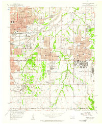 1956 Midwest City1957 Print · USGSOklahoma City and its eastern suburbs were rapidly transforming in the mid-fifties as military and industrial growth reshaped the county line. Researchers can trace the development of Tinker Air Force Base and dozens of local schools like Monroney Jr High Sch and Edison Sch.3 unique versions available
 - 1956 Map of Oklahoma City, 1957 Print
 1956 Oklahoma City1957 Print · USGSOklahoma City emerges as a bustling mid-century hub at the intersection of major rail lines and early aviation history. Genealogists and historians can trace the development of urban neighborhoods and local institutions from Fairlawn Cemetery to the Will Rogers Municipal Airport.3 unique versions available
 - 1956 Map of Oklahoma City, 1957 Print
 1956 Oklahoma City1957 Print · USGSCentral Oklahoma in the mid-fifties shows the transition from a rail-centered capital to a modern aviation and oil hub. Researchers can trace family roots through neighborhood landmarks like St Patricks Sch, Fairlawn Cem, and the old Union Station.2 unique versions available
 - 1957 Map of Oklahoma City, 1969 Print
 1957 Oklahoma City1969 Print · USGSCentral Oklahoma is captured here in a period of significant mid-century growth and industrialization. Researchers can trace family roots through numerous rural markers like Memory Lane Cem, New Hope School, and the sprawling grounds of Tinker Air Force Base.3 unique versions available
 - 1963 Map of Oklahoma City
 1963 Oklahoma City1963 Print · USGSCentral Oklahoma in the early sixties showcases a landscape of rapid suburban growth and established oil production. Researchers can trace historic rail lines like the Chicago Rock Island and Pacific RR or locate rural landmarks such as Mayflower School and Bethel Church.
 - 1985 Map of Oklahoma City South
 1985 Oklahoma City South1985 Print · USGSOklahoma City and its southern neighbors show a period of significant growth during the mid-eighties as suburban expansion met rural county lines. Researchers can trace the development of Tinker Air Force Base and locate smaller communities like Goldsby, Stella, and Woody Chapel.2 unique versions available
 - 1986 Map of Oklahoma City, 1987 Print
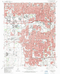 1986 Oklahoma City1987 Print · USGSOklahoma City in the mid-eighties shows a bustling state capital where major rail lines and modern expressways intersect historic residential cores. Genealogists and historians can trace neighborhood development near Fairlawn Cemetery, the Stockyards, and the State Fairground.
 - 1986 Map of Midwest City, 1987 Print
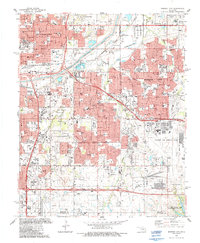 1986 Midwest City1987 Print · USGSMid-century suburban growth and military aviation define the Oklahoma City corridor during the mid-eighties. Researchers can trace the development of Tinker Air Force Base and locate neighborhood landmarks like Sunnyland Cemetery and Douglass High School.
 - 1995 Map of Oklahoma City, 2000 Print
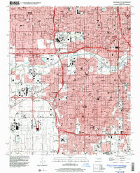 1995 Oklahoma City2000 Print · USGSOklahoma City in the mid-nineties shows a metropolis deeply integrated with its aviation and industrial hubs. Genealogists and historians can locate numerous neighborhood landmarks, from Czech Cemetery to schools like Capitol Hill High School.
 - 1995 Map of Midwest City, 2000 Print
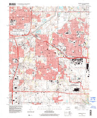 1995 Midwest City2000 Print · USGSMid-century urban expansion and military infrastructure define this Oklahoma County landscape in the mid-nineties. Researchers can locate family landmarks like Sunnylane Cemetery, the sprawling Tinker Air Force Base, and schools like Douglass High Sch.
 - 2009 Map of Oklahoma City, 2009 Print
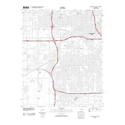 2009 Oklahoma City2009 Print · USGSOklahoma City at the close of the 2000s shows a dense urban landscape defined by major aviation hubs and historic institutions. Researchers can trace local heritage at Fairlawn Cemetery, locate the National Stockyards, or study the grounds of Oklahoma City University.
 - 2010 Map of Midwest City, 2010 Print
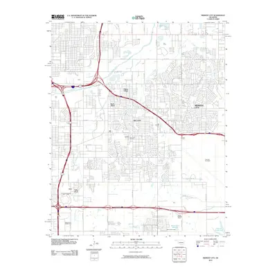 2010 Midwest City2010 Print · USGSOklahoma City’s eastern suburbs and heavy industry are shown here during a period of significant regional growth. Researchers can trace family roots at Sunny Lane Cemetery or explore the massive reach of Tinker Air Force Base and Del City.
 - 2012 Map of Oklahoma City, 2012 Print
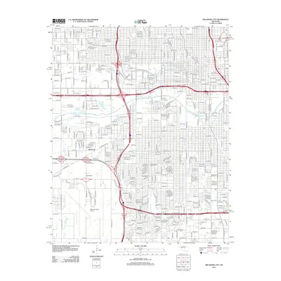 2012 Oklahoma City2012 Print · USGSOklahoma City at the start of the 2010s reveals a complex urban landscape where modern aviation and education meet historic local landmarks. Genealogists can locate family sites at Fairlawn Cem or Hebrew Cem, while others can trace the city's growth around Will Rogers World Airport.
 - 2012 Map of Midwest City, 2012 Print
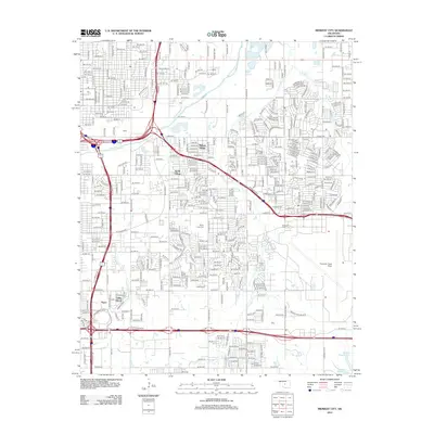 2012 Midwest City2012 Print · USGSOklahoma City’s eastern suburbs and military corridors are shown here during a period of significant metropolitan density. Researchers can pinpoint long-standing community markers like Sunny Lane Cem, the campus of Rose State Coll, and the residential layouts of Midway Village.
 - 2016 Map of Oklahoma City, 2016 Print
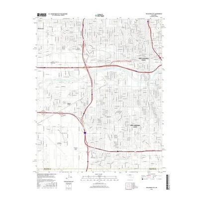 2016 Oklahoma City2016 Print · USGSOklahoma City and Bethany are shown in high detail during the mid-2010s, capturing the dense urban grid and major aviation hubs. Genealogists and local historians can trace the grounds of Fairlawn Cem or locate campuses like Oklahoma City Univ and Oklahoma City Community Coll.
 - 2016 Map of Midwest City, 2016 Print
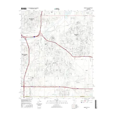 2016 Midwest City2016 Print · USGSMidwest City and Del City are seen here during the mid-2010s as they expand around the critical Tinker Air Force Base complex. Researchers can trace the layout of small enclaves like Smith Village and Valley Brook, or locate family sites at Sunny Lane Cem and Rose State College.
 - 2018 Map of Oklahoma City, 2018 Print
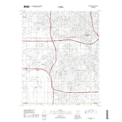 2018 Oklahoma City2018 Print · USGSOklahoma City and Bethany are shown here in the late 2010s, revealing a landscape defined by rapid urban expansion and a dense transportation network. Genealogists can locate several key burial sites, including Fairlawn Cem and the Czechoslovakian National Cem.
Showing maps 1-25 of 28
Frequently asked questions
- What are the different types of historical maps available for Imboden and Middleton?
- What is the oldest map of Imboden and Middleton?
- Where can I purchase historical maps of Imboden and Middleton for my home or office?
- Where can I download high-res historical maps of Imboden and Middleton?
- Are there historical topographic maps available for Imboden and Middleton?
- Is there historical aerial imagery available for Imboden and Middleton?
- Where are historical maps of Imboden and Middleton sourced from?