Old Maps of Wilson, Oklahoma
Explore 11 old maps of Wilson, spanning from 1901 to today. These high-resolution historic maps reveal how streets, neighborhoods, landmarks, and natural features evolved over time — perfect for genealogy, metal detecting, research, and local history exploration.
What you can do with these maps:
- See how Wilson changed over time: Compare historical maps to modern-day views to trace roads, homesites, rail lines & more.
- View detailed metadata: Each map includes creators, publishers, year, scale, and archive source.
- Overlay maps with satellite & LiDAR: Visualize the past alongside modern tools to explore terrain & human change.
- Trusted historical sources: Maps sourced from the USGS, Library of Congress, and other archives.
- Access maps your way: View online, download high-res files, or order prints for personal or research use.
Start exploring old maps of Wilson to uncover forgotten places, hidden landmarks, and the deep history beneath your feet.
Wilson, OK maps
(11)- 1901 Map of Nuyaka
 1901 Nuyaka1901 Print · USGSIndian Territory within the Creek Nation was undergoing rapid change in the late 19th century as railroads connected once-remote outposts. Researchers can trace early settlements and schools like Nuyaka Mission, Bristow, and the crossroads at Smiths Store before Oklahoma reached statehood.4 unique versions available
 - 1954 Map of Oklahoma City
 1954 Oklahoma City1954 Print · USGSOklahoma City and its surrounding counties are captured here in the early fifties during a period of significant postwar growth. Researchers can trace the development of the Turner Turnpike and locate aviation hubs like Tinker Field or Will Rogers Field.
 - 1957 Map of Oklahoma City, 1969 Print
 1957 Oklahoma City1969 Print · USGSCentral Oklahoma is captured here in a period of significant mid-century growth and industrialization. Researchers can trace family roots through numerous rural markers like Memory Lane Cem, New Hope School, and the sprawling grounds of Tinker Air Force Base.3 unique versions available
 - 1963 Map of Oklahoma City
 1963 Oklahoma City1963 Print · USGSCentral Oklahoma in the early sixties showcases a landscape of rapid suburban growth and established oil production. Researchers can trace historic rail lines like the Chicago Rock Island and Pacific RR or locate rural landmarks such as Mayflower School and Bethel Church.
 - 1973 Map of Okmulgee Lake, 1976 Print
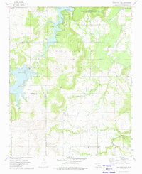 1973 Okmulgee Lake1976 Print · USGSOkmulgee County in the early 1970s reveals a landscape where expansive state recreation areas and game management lands intersect with an active oil industry. Genealogists and local historians can trace rural roots through Honey Creek Ch and several burial grounds, including Indian Cem and Edwards Cem.
 - 1990 Map of Bristow
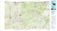 1990 Bristow1990 Print · USGSCentral Oklahoma's township and range grid is on full display in the 1990s, anchored by the crossroads at Bristow and Sapulpa. Researchers can trace old community lines and regional landmarks from Heyburn Reservoir to the historic streets of Boley.
 - 2010 Map of Okmulgee Lake, 2010 Print
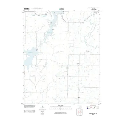 2010 Okmulgee Lake2010 Print · USGSOklahoma's Okmulgee County is shown here in the early twenty-first century, centered on a network of modern reservoirs and rural section roads. Researchers can trace family history through the Indian Cemetery and Sharp Cemetery or locate the infrastructure of the Okmulgee Waterworks.
 - 2012 Map of Okmulgee Lake, 2012 Print
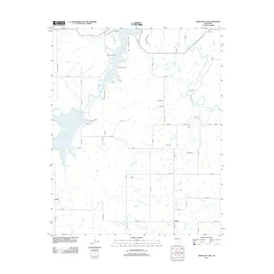 2012 Okmulgee Lake2012 Print · USGSOkmulgee County during the early 21st century features a landscape shaped by the waters of Okmulgee Lake and the Deep Fork river. Researchers can locate family roots at Indian Cem and Edwards Cem or trace the rural road network around Wilson.
 - 2016 Map of Okmulgee Lake, 2016 Print
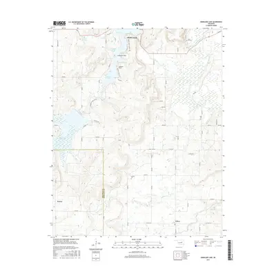 2016 Okmulgee Lake2016 Print · USGSThis Okmulgee County landscape showcases the area around Okmulgee Lake and the Deep Fork river in the mid-2010s. Genealogists and local historians can locate several rural burial sites like Mount Zion Cem and Edwards Cem near the historic settlement of Wilson.
 - 2018 Map of Okmulgee Lake, 2018 Print
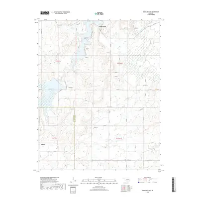 2018 Okmulgee Lake2018 Print · USGSWestern Okmulgee County is shown here in the late 2010s, centered on the complex shorelines and recreation points of the local reservoir system. Researchers can trace rural cemeteries and crossroads settlements like Wilson and Sunrise, or locate Edwards Cem and Zion Cem in the hills above the Deep Fork.
 - 2022 Map of Okmulgee Lake, 2022 Print
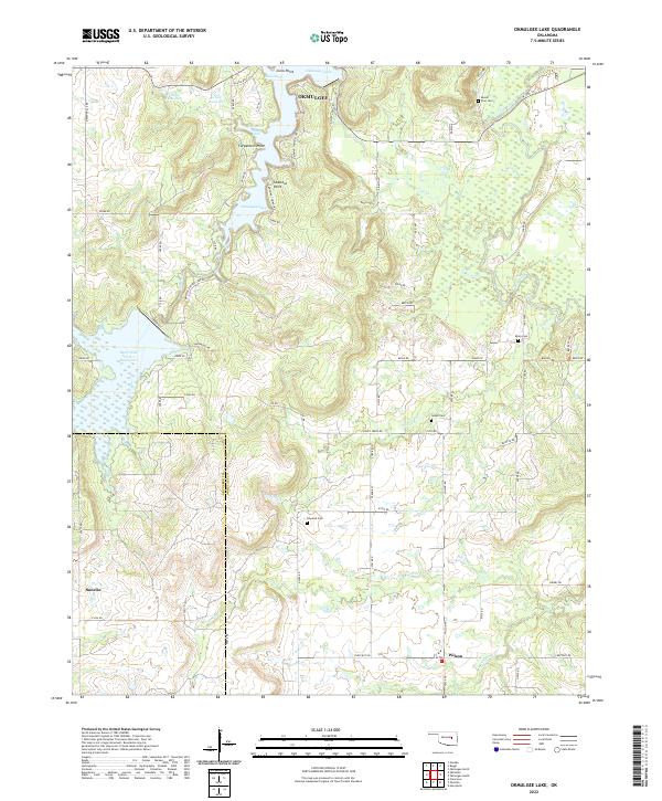 2022 Okmulgee Lake2022 Print · USGSThe Okmulgee region appears here as a complex network of lake coves and rural crossroads in the early twenty-first century. Researchers can locate several historic burial grounds including Indian Cem and Mount Zion Cem or trace the winding course of the Deep Fork.
End of results
Showing maps 1-11 of 11
Top cities near Wilson
- Okmulgee historical maps
- Henryetta historical maps
- Beggs historical maps
- Morris historical maps
- Dewar historical maps
- Weleetka historical maps
See more
Frequently asked questions
- What are the different types of historical maps available for Wilson?
- What is the oldest map of Wilson?
- Where can I purchase historical maps of Wilson for my home or office?
- Where can I download high-res historical maps of Wilson?
- Are there historical topographic maps available for Wilson?
- Is there historical aerial imagery available for Wilson?
- Where are historical maps of Wilson sourced from?