Old Maps of Comanche, Oklahoma
Explore 37 old maps of Comanche, spanning from 1901 to today. These high-resolution historic maps reveal how streets, neighborhoods, landmarks, and natural features evolved over time — perfect for genealogy, metal detecting, research, and local history exploration.
What you can do with these maps:
- See how Comanche changed over time: Compare historical maps to modern-day views to trace roads, homesites, rail lines & more.
- View detailed metadata: Each map includes creators, publishers, year, scale, and archive source.
- Overlay maps with satellite & LiDAR: Visualize the past alongside modern tools to explore terrain & human change.
- Trusted historical sources: Maps sourced from the USGS, Library of Congress, and other archives.
- Access maps your way: View online, download high-res files, or order prints for personal or research use.
Start exploring old maps of Comanche to uncover forgotten places, hidden landmarks, and the deep history beneath your feet.
Comanche, OK maps
(37)- 1901 Map of Addington
 1901 Addington1901 Print · USGSThe Chickasaw Nation at the turn of the century shows a landscape transitioning from cattle trails to rail commerce. Local historians can trace the Chisholm Trail and the Chicago Rock Island and Pacific rail line through Duncan, Comanche, and Addington.6 unique versions available
 - 1955 Map of Lawton, 1958 Print
 1955 Lawton1958 Print · USGSSouthwestern Oklahoma and North Texas are shown here in the mid-fifties, dominated by the Wichita Mountains and the vital Red River watershed. Genealogists and historians can trace the foundations of Lawton alongside rural landmarks like Rainy Mountain Church and Pleasant Hill School.5 unique versions available
 - 1957 Map of Ardmore, 1968 Print
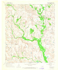
 1957 Ardmore1968 Print · USGSSouth-central Oklahoma in the late fifties was a landscape of rising reservoir waters and expanding rail lines. Genealogists and historians can trace the foundations of Ardmore and Duncan or locate early recreation sites at Platt National Park and Lake Murray State Park.3 unique versions available
 - 1962 Map of Temple, 1964 Print
 1962 Temple1964 Print · USGSThe cotton and oil country of southwestern Oklahoma comes to life here in the early sixties. Genealogists and historians can trace the foundations of Temple and Corum, locating family landmarks like Shakelford Cem and the Lone Star Ch.2 unique versions available
 - 1963 Map of Ardmore
 1963 Ardmore1963 Print · USGSSouthern Oklahoma during the early sixties shows a landscape defined by the Arbuckle Mountains and a booming energy economy. Genealogists and historians can trace family-named sites across the Ardmore Oil Field, find old schools like Southeastern State College, or locate historic markers such as Boggy Depot State Park.2 unique versions available
 - 1964 Map of Comanche SE, 1965 Print
 1964 Comanche SE1965 Print · USGSSouthern Oklahoma in the early sixties was a landscape of remote rural communities and active energy extraction. Genealogists and historians can trace family locations near Woolsey Cem and the small settlements of Brown and Loco.2 unique versions available
 - 1964 Map of Duncan South, 1965 Print
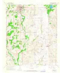
 1964 Duncan South1965 Print · USGSStephens County in the mid-1960s shows a landscape defined by its petroleum industry and deep territorial roots. Genealogists can trace family sites at Henderson-Harris Cem and Fairview Cem or locate old schools like Liberty Sch.2 unique versions available
 - 1964 Map of Comanche, 1965 Print
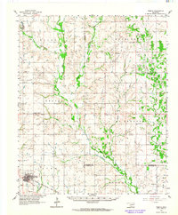
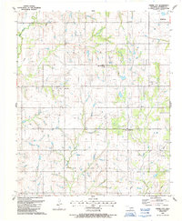
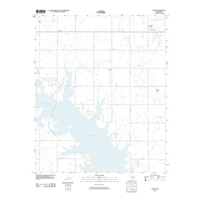
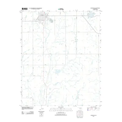
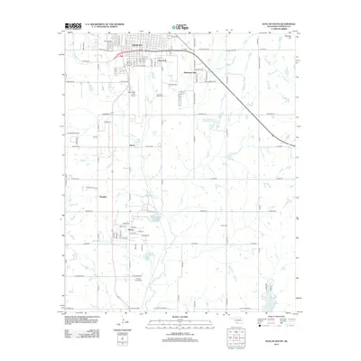
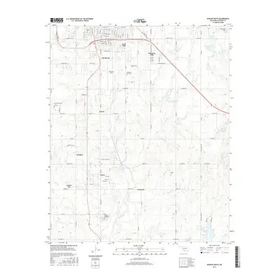
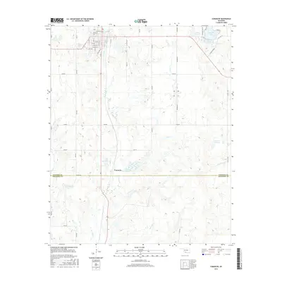
 1964 Comanche1965 Print · USGSThe city of Comanche and the surrounding Stephens County countryside are captured here in the mid-sixties as the oil industry and rail lines shaped the landscape. Genealogists and historians can trace the Old Oklahoma Territory Indian Territory Boundary Line or locate rural landmarks like Countryside Ch and the High Sch.2 unique versions available
 - 1985 Map of Burkburnett, 1986 Print
 1985 Burkburnett1986 Print · USGSThe Red River valley and North Texas oil fields are captured here in the mid-eighties, showing the vital connection between military hubs and rail towns. Researchers can trace the path of the Missouri Kansas Texas railroad through Burkburnett or locate Waurika Lake and Sheppard Air Force Base.2 unique versions available
 - 1986 Map of Ardmore
 1986 Ardmore1986 Print · USGSSouthern Oklahoma in the mid-eighties was a landscape of rugged geology and deep petroleum roots. Genealogists and historians can trace the development of Ardmore and Healdon alongside the vast Sholem Alechem Oil Field and the rails of the AT & SF RR.2 unique versions available
 - 1987 Map of Empire City, 1988 Print
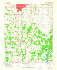
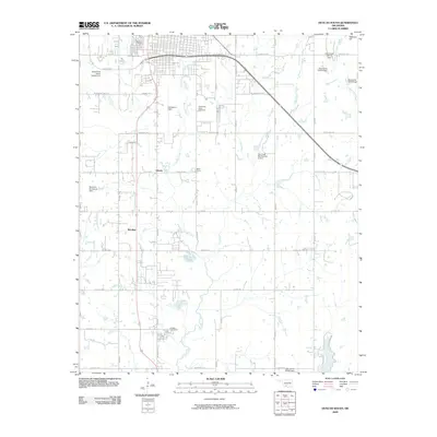
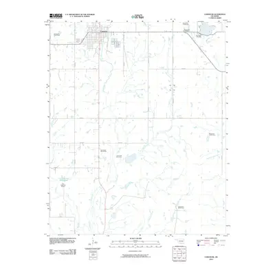
 1987 Empire City1988 Print · USGSEmpire City and the surrounding Oklahoma oil fields are documented here in the late 1980s. Local researchers can trace rural life and industry through the sites of Empire Sch, Oak Grove Cem, and the grid of Oil Wells around Gas City.
 - 1987 Map of Corum, 1988 Print
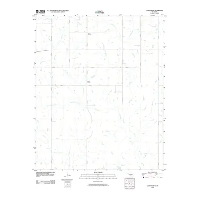
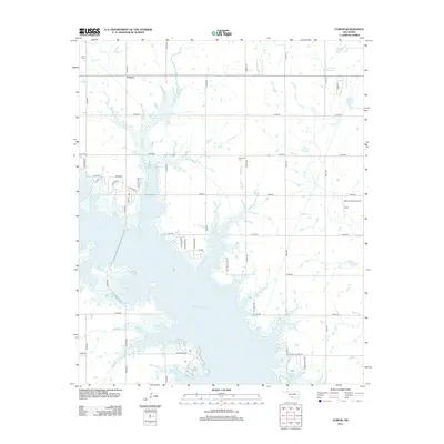
 1987 Corum1988 Print · USGSSouthern Oklahoma during the late eighties reveals a landscape transformed by the reservoir waters of Waurika Lake at the county line. Genealogists and local historians can trace the foundations of Corum, locate the Grandview School, and follow the historic path of the Chisholm Trail.
 - 2009 Map of Duncan South, 2009 Print
 2009 Duncan South2009 Print · USGSCovers Comanche, including Duncan, Empire City, and other nearby areas
 - 2009 Map of Comanche SE, 2009 Print
 2009 Comanche SE2009 Print · USGSCovers Comanche, including Stephens County, Jefferson County, and other nearby areas
 - 2010 Map of Empire City, 2010 Print
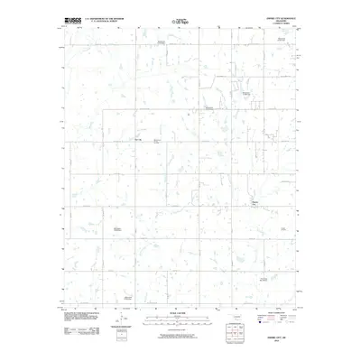 2010 Empire City2010 Print · USGSCovers Comanche, including Duncan, Empire City, and other nearby areas
 - 2010 Map of Corum, 2010 Print
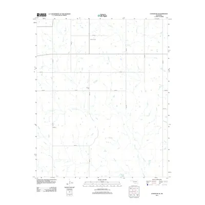
 2010 Corum2010 Print · USGSCovers Comanche, including Corum, Stephens County, and other nearby areas
 - 2010 Map of Comanche, 2010 Print
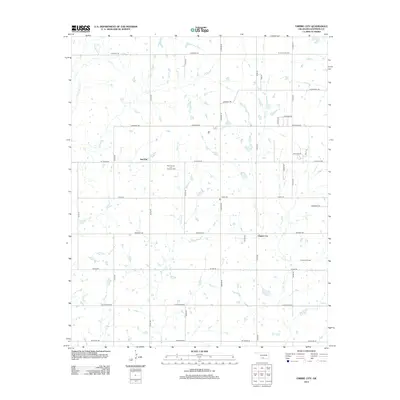
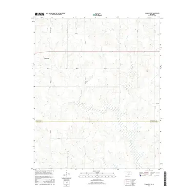
 2010 Comanche2010 Print · USGSCovers Comanche, including Stephens County, Jefferson County, and other nearby areas
 - 2012 Map of Empire City, 2012 Print
 2012 Empire City2012 Print · USGSCovers Comanche, including Duncan, Empire City, and other nearby areas
 - 2012 Map of Comanche SE, 2012 Print
 2012 Comanche SE2012 Print · USGSCovers Comanche, including Stephens County, Jefferson County, and other nearby areas
 - 2012 Map of Comanche, 2012 Print
 2012 Comanche2012 Print · USGSCovers Comanche, including Stephens County, Jefferson County, and other nearby areas
 - 2012 Map of Corum, 2012 Print
 2012 Corum2012 Print · USGSCovers Comanche, including Corum, Stephens County, and other nearby areas
 - 2012 Map of Duncan South, 2012 Print
 2012 Duncan South2012 Print · USGSCovers Comanche, including Duncan, Empire City, and other nearby areas
 - 2016 Map of Duncan South, 2016 Print
 2016 Duncan South2016 Print · USGSCovers Comanche, including Duncan, Empire City, and other nearby areas
 - 2016 Map of Comanche, 2016 Print
 2016 Comanche2016 Print · USGSCovers Comanche, including Stephens County, Jefferson County, and other nearby areas
 - 2016 Map of Comanche SE, 2016 Print
 2016 Comanche SE2016 Print · USGSCovers Comanche, including Stephens County, Jefferson County, and other nearby areas
Showing maps 1-25 of 37
Top cities near Comanche
- Duncan historical maps
- Waurika historical maps
- Bray historical maps
- Central High historical maps
- Empire City historical maps
- Hastings historical maps
See more
Frequently asked questions
- What are the different types of historical maps available for Comanche?
- What is the oldest map of Comanche?
- Where can I purchase historical maps of Comanche for my home or office?
- Where can I download high-res historical maps of Comanche?
- Are there historical topographic maps available for Comanche?
- Is there historical aerial imagery available for Comanche?
- Where are historical maps of Comanche sourced from?