Old Maps of Central High, Oklahoma
Explore 32 old maps of Central High, spanning from 1949 to today. These high-resolution historic maps reveal how streets, neighborhoods, landmarks, and natural features evolved over time — perfect for genealogy, metal detecting, research, and local history exploration.
What you can do with these maps:
- See how Central High changed over time: Compare historical maps to modern-day views to trace roads, homesites, rail lines & more.
- View detailed metadata: Each map includes creators, publishers, year, scale, and archive source.
- Overlay maps with satellite & LiDAR: Visualize the past alongside modern tools to explore terrain & human change.
- Trusted historical sources: Maps sourced from the USGS, Library of Congress, and other archives.
- Access maps your way: View online, download high-res files, or order prints for personal or research use.
Start exploring old maps of Central High to uncover forgotten places, hidden landmarks, and the deep history beneath your feet.
Central High, OK maps
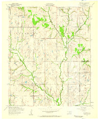
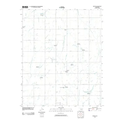
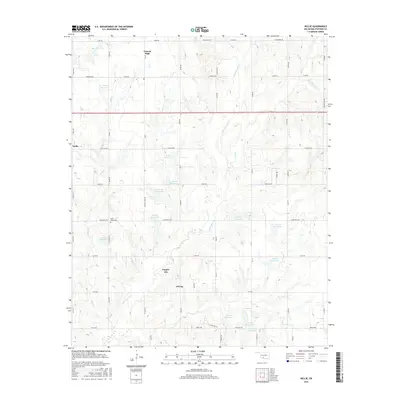
(32)- 1949 Map of Nellie, 1953 Print
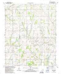
 1949 Nellie1953 Print · USGSThe Oklahoma plains around the Comanche and Stephens county lines come alive in this post-war survey. Researchers can trace the social fabric of rural life through numerous country schools and churches, including Starr Sch, Nellie, and the Rock Creek Cem.2 unique versions available
 - 1955 Map of Lawton, 1958 Print
 1955 Lawton1958 Print · USGSSouthwestern Oklahoma and North Texas are shown here in the mid-fifties, dominated by the Wichita Mountains and the vital Red River watershed. Genealogists and historians can trace the foundations of Lawton alongside rural landmarks like Rainy Mountain Church and Pleasant Hill School.5 unique versions available
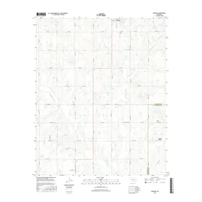
 - 1956 Map of Sterling, 1959 Print
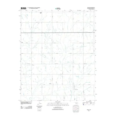
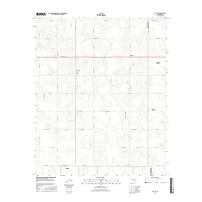
 1956 Sterling1959 Print · USGSMid-century Comanche County is shown here as an active landscape of petroleum production and rural community life. Researchers can trace family roots through the Sterling Cemetery and Denton Cemetery or locate old industrial sites near Coxs Corner and the Oil Field.2 unique versions available
 - 1956 Map of Denton, 1959 Print
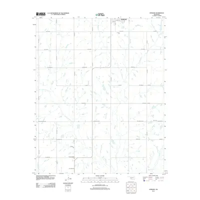
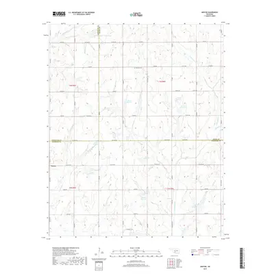
 1956 Denton1959 Print · USGSDenton and the rural tri-county border of southwestern Oklahoma are shown here during the mid-century petroleum expansion. Genealogists and local historians can trace family land near Woodlawn Church, Starr School, and the growing Oil and Gas Field.2 unique versions available
 - 1956 Map of Letitia, 1959 Print
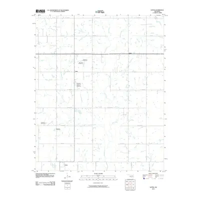
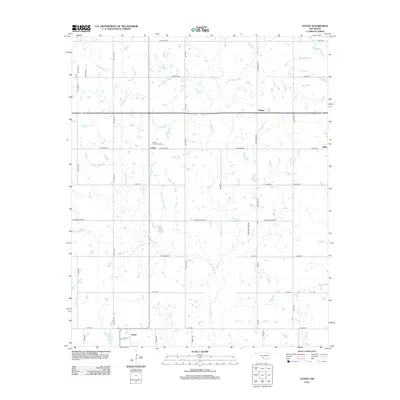
 1956 Letitia1959 Print · USGSSouthwestern Oklahoma's rural landscape is captured here in the mid-fifties at the junction of three counties. Genealogists and local historians can locate the Cem near Letitia, rural schoolhouses like Beaver Bend School, and the community hub at Pumpkin Center.2 unique versions available
 - 1956 Map of Nellie, 1959 Print
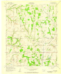
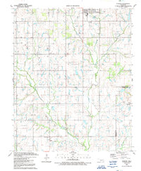
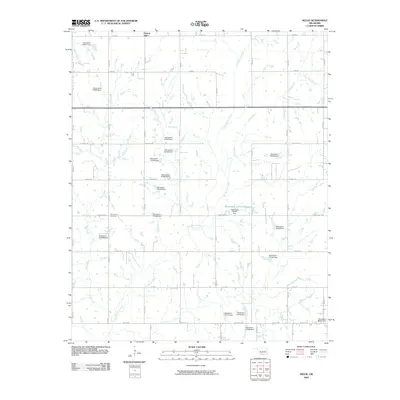
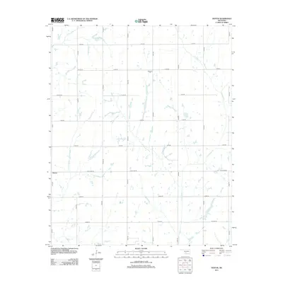
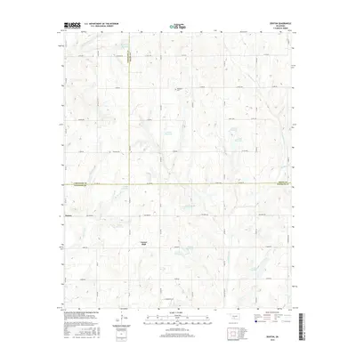
 1956 Nellie1959 Print · USGSStephens County petroleum and ranching country comes to life in the mid-1950s, showing a landscape defined by small communities and oil production. Trace the locations of early schools and oil fields like Central High School, Oil City, and the Rock Creek Cemetery.2 unique versions available
 - 1956 Map of Nellie, 1960 Print
 1956 Nellie1960 Print · USGSComanche and Stephens counties are mapped in the mid-1950s, showing a rural landscape anchored by small agricultural and oil hubs. Genealogists can trace family footprints at Sterling Cemetery, Denton School, and the crossroads of Pumpkin Center.
 - 1981 Map of Lawton
 1981 Lawton1981 Print · USGSSouthwestern Oklahoma in the early eighties shows a landscape shaped by military history and the rising peaks of the Wichitas. Researchers can trace the boundaries of the Fort Sill Military Reservation and locate early settlements like Meers, Chattanooga, and Richards Spur.
 - 1991 Map of Denton
 1991 Denton1991 Print · USGSThe Oklahoma prairie at the start of the 1990s reveals a landscape defined by an active gas and oil field spanning three county lines. Genealogists and historians can trace family-named sites like Burris alongside the Woodlawn Cem and the Hurley Grove Community House.
 - 1991 Map of Letitia
 1991 Letitia1991 Print · USGSSouthern Oklahoma at the start of the nineties shows a landscape where petroleum production and farming coexist. Researchers can trace rural community centers like Pumpkin Center and Letitia, along with Hulen Church and the local Cemetery.
 - 1991 Map of Sterling
 1991 Sterling1991 Print · USGSThe ranching and energy country of the Oklahoma prairie is captured here in the early nineties. Genealogists and local historians can locate rural landmarks such as Midway Ch, the old settlement at Denton, and the concentrated Oil Field near Coxs Corner.
 - 1991 Map of Nellie
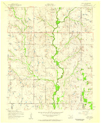
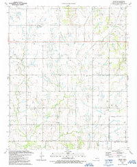 1991 Nellie1991 Print · USGSStephens County petroleum country is captured here in the early nineties, showing the dense intersection of energy production and rural community life. Researchers can trace family roots at Rock Creek Cemetery or locate landmarks like Oil City, Nellie, and the Central High School.
 - 2009 Map of Sterling, 2009 Print
 2009 Sterling2009 Print · USGSCovers Central High, including Sterling, Coxs Corner, and other nearby areas
 - 2009 Map of Denton, 2009 Print
 2009 Denton2009 Print · USGSCovers Central High, including Denton, Comanche County, and other nearby areas
 - 2009 Map of Nellie, 2009 Print
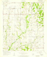
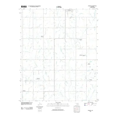
 2009 Nellie2009 Print · USGSCovers Central High, including Duncan, Empire City, and other nearby areas
 - 2010 Map of Letitia, 2010 Print
 2010 Letitia2010 Print · USGSCovers Central High, including Empire City, Letitia, and other nearby areas
 - 2012 Map of Nellie, 2012 Print
 2012 Nellie2012 Print · USGSCovers Central High, including Duncan, Empire City, and other nearby areas
 - 2012 Map of Letitia, 2012 Print
 2012 Letitia2012 Print · USGSCovers Central High, including Empire City, Letitia, and other nearby areas
 - 2012 Map of Sterling, 2012 Print
 2012 Sterling2012 Print · USGSCovers Central High, including Sterling, Coxs Corner, and other nearby areas
 - 2013 Map of Denton, 2013 Print
 2013 Denton2013 Print · USGSCovers Central High, including Denton, Comanche County, and other nearby areas
 - 2016 Map of Letitia, 2016 Print
 2016 Letitia2016 Print · USGSCovers Central High, including Empire City, Letitia, and other nearby areas
 - 2016 Map of Denton, 2016 Print
 2016 Denton2016 Print · USGSCovers Central High, including Denton, Comanche County, and other nearby areas
 - 2016 Map of Sterling, 2016 Print
 2016 Sterling2016 Print · USGSCovers Central High, including Sterling, Coxs Corner, and other nearby areas
 - 2016 Map of Nellie, 2016 Print
 2016 Nellie2016 Print · USGSCovers Central High, including Duncan, Empire City, and other nearby areas
 - 2018 Map of Denton, 2018 Print
 2018 Denton2018 Print · USGSCovers Central High, including Denton, Comanche County, and other nearby areas
Showing maps 1-25 of 32
Top cities near Central High
- Duncan historical maps
- Marlow historical maps
- Comanche historical maps
- Rush Springs historical maps
- Elgin historical maps
- Bray historical maps
See more
Top neighborhoods of Central High
Frequently asked questions
- What are the different types of historical maps available for Central High?
- What is the oldest map of Central High?
- Where can I purchase historical maps of Central High for my home or office?
- Where can I download high-res historical maps of Central High?
- Are there historical topographic maps available for Central High?
- Is there historical aerial imagery available for Central High?
- Where are historical maps of Central High sourced from?